Free Printable Roman Empire Map
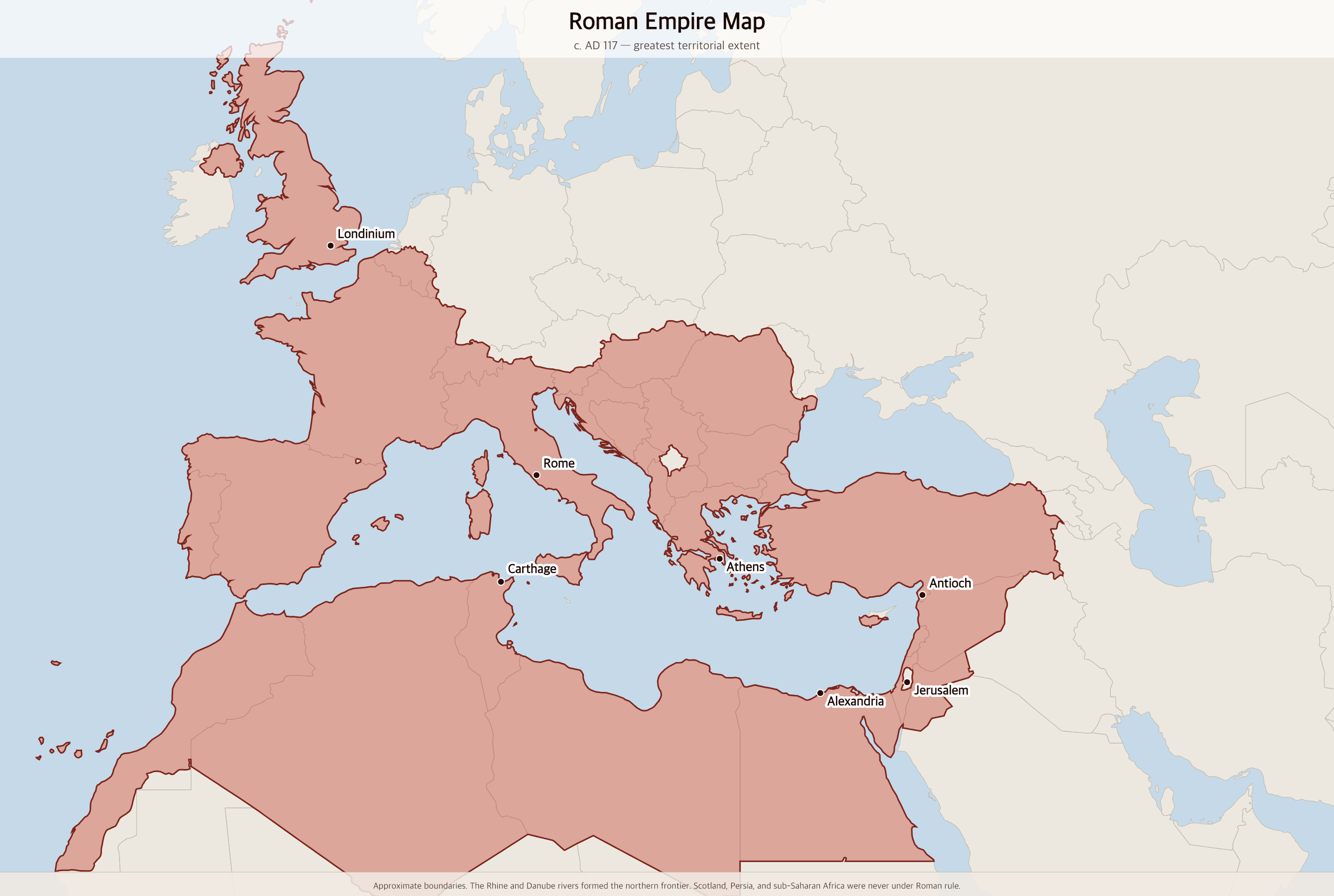
Free printable map of the Roman Empire at its greatest extent under Emperor Trajan in AD 117, showing the empire's reach across Europe, North Africa, and the Middle East.
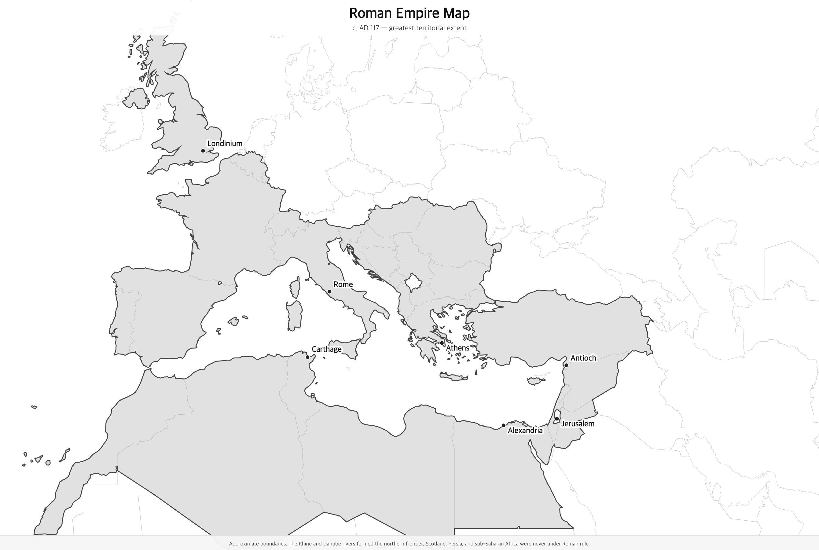
Black & white version
About This Map
Free printable map of the Roman Empire at its greatest extent under Emperor Trajan in AD 117, showing the empire's reach across Europe, North Africa, and the Middle East.
The History Behind This Map
At its greatest extent under Emperor Trajan in AD 117, the Roman Empire stretched from the Atlantic coast of Iberia to the borders of Mesopotamia, and from southern Britain to the Sahara Desert. It covered all of modern Italy, France, Spain, and Portugal; the Balkans and Greece; all of Turkey; the Levant from Syria to Egypt; and the North African coast from Morocco to Egypt.
Rome began as a small city-state on the Tiber River. Through centuries of conquest and alliance, the Roman Republic expanded across the Mediterranean basin. The shift from republic to empire came under Augustus in 27 BC. Over the next century and a half, emperors including Claudius, Vespasian, and Trajan pushed the frontiers ever outward.
Trajan's campaigns (98–117 AD) added Dacia (modern Romania) and Arabia Petraea (modern Jordan). His successor Hadrian abandoned the most distant conquests as indefensible and instead fortified the frontiers — Hadrian's Wall across northern Britain dates from around AD 122. The Rhine and Danube rivers formed the empire's permanent northern boundary.
How to Use
Print this map on standard US Letter paper (8.5" × 11"). Click "Download PDF" for a print-ready file that automatically fits your page in landscape orientation, or "Download PNG" for the high-resolution image file. Works great for world history lessons, geography units, or display on a classroom whiteboard.
Frequently Asked Questions
How big was the Roman Empire at its peak?
At its greatest extent under Trajan in AD 117, the Roman Empire covered approximately 5 million square kilometers (about 2 million square miles) and had a population estimated at 50–60 million — roughly 20% of the world's population at that time.
Which modern countries were part of the Roman Empire?
The Roman Empire covered most of modern Western Europe (Portugal, Spain, France, Italy, Belgium, Switzerland), England and Wales, the Balkans (Greece, Croatia, Romania, Bulgaria, and more), all of Turkey, the Levant (Syria, Lebanon, Israel, Jordan), Egypt, Libya, Tunisia, Algeria, and northern Morocco.
Why does the map show modern country borders?
Modern borders make it easy to connect the empire's territory to places you recognize today. The actual Roman frontier followed natural features — mainly the Rhine and Danube rivers in the north and the Euphrates in the east.
Did Rome control all of Britain?
Rome controlled England and Wales (called Britannia) from roughly AD 43 to 410. Scotland was never permanently conquered. Hadrian's Wall, built across northern England around AD 122, marked the permanent northern frontier of Roman Britain.