 Printable Scholar
Ancient India Map
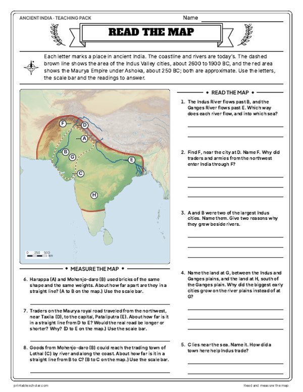
A free printable map of ancient India drawn on real terrain, with the cities of the Indus Valley civilization, the Indus and Ganges rivers, and the Maurya Empire at its height under Ashoka, about 250 BC. It comes labeled and blank.

Choose your version
Black and white, color or blank.
All three are free PDFs sized for US Letter paper.

Black and white
Everything named on a plain outline map with no terrain. No color ink needed.
downloadBlack and white PDF
Color
Cities, regions, rivers and seas named.
downloadColor PDF
Blank
The black-and-white map with its routes and markers but no names, for labeling practice.
downloadBlank PDF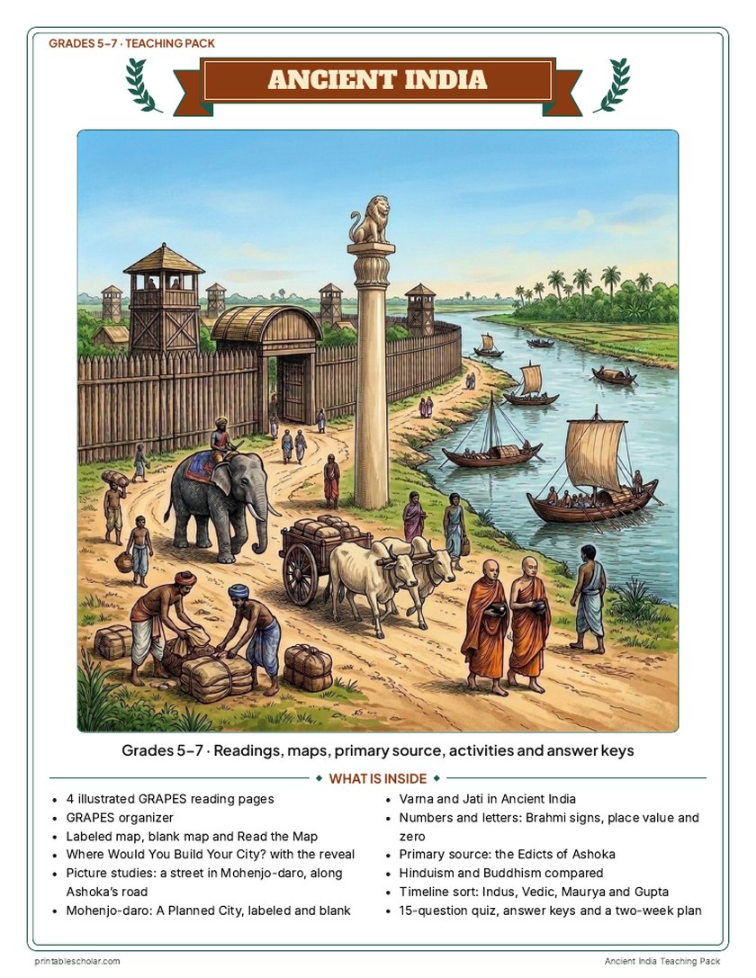
Teaching pack · Grades 5–7
Teaching Ancient India? The whole unit, ready to teach.
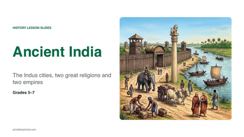
Two weeks of lessons in one download: slides to present, notes for students to fill in, and printable pages that use these maps and pictures.
- 34 lesson slides (PowerPoint you can edit, teacher notes on every slide) and 2 pages of guided notes
- 4 illustrated reading pages and a GRAPES organizer
- Maps: labeled, blank, Read and Measure the Map, and a "Where would you build your city?" decision with the reveal
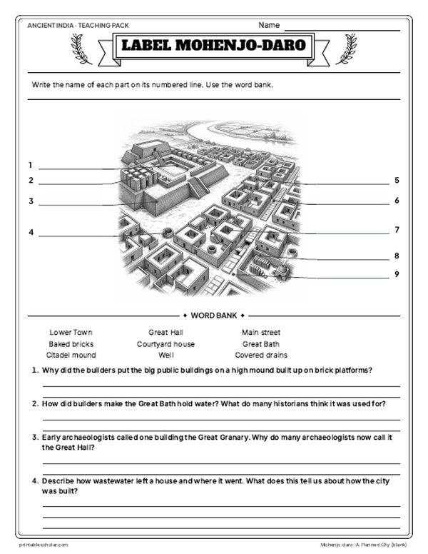
- Activities: picture studies of a Mohenjo-daro street and Ashoka's road, Mohenjo-daro labeled and blank, varna and jati, India's numbers and Brahmi letters, the Edicts of Ashoka, Hinduism and Buddhism compared, and a timeline sort
- A 15-question quiz, a teacher guide with a two-week plan, and answer keys for everything
Every answer is in the pack. The readings, slides, maps and pictures teach everything the sheets and quiz ask, so no textbook is needed.
Get the Ancient India pack for $7Teaching more than one? Get all six ancient civilizations (Egypt, Mesopotamia, Greece, Rome, China and India) for $29: about twelve weeks of lessons.
Get all 6 packs for $29One-time purchase. Instant download. Color and ink-saving black-and-white editions. Secure checkout by Stripe.
The geography of ancient India
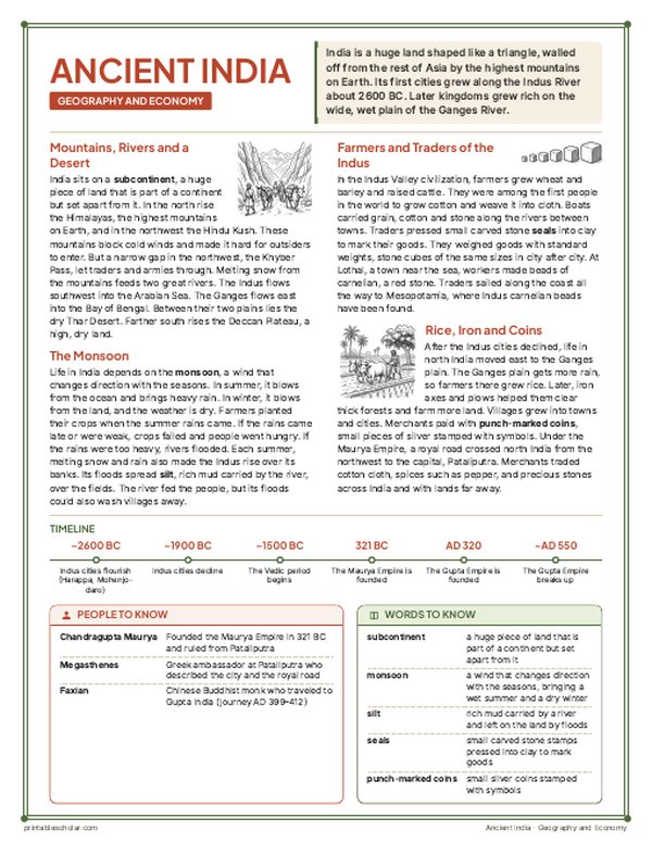
India is a subcontinent, a huge piece of land set apart from the rest of Asia by the Himalayas and the Hindu Kush, the highest mountains on Earth. Passes such as the Khyber Pass were the main way in by land. India’s first cities grew up about 2600 BC along the Indus River, in what is now Pakistan and northwest India: Harappa and Mohenjo-daro had straight streets, brick houses and covered drains. Later, the heart of Indian civilization moved east to the Ganges River plain, where the Buddha taught and the kingdom of Magadha grew strong. From its capital at Pataliputra, the Maurya Empire united most of the subcontinent. Under the emperor Ashoka it reached from the Hindu Kush to Bengal, after his bloody conquest of Kalinga. Only the far south, home of the Tamil kingdoms, stayed outside it. Every summer the monsoon winds bring the rain that farmers depend on.
On the map
- Harappa and Mohenjo-daro: the great cities of the Indus Valley
- Lothal and Dholavira: Indus Valley trading towns
- Pataliputra: capital of the Maurya Empire
- Lumbini, Bodh Gaya and Sarnath: where the Buddha was born, found enlightenment and first taught
- Sanchi: the great stupa begun under Ashoka
- Taxila and Kandahar: cities of the far northwest
Find it on the map
- The Himalayas and Hindu Kush walling India off from the north
- The Indus and Ganges rivers, the two cradles of Indian civilization
- The Deccan Plateau between the Western and Eastern Ghats
Coastlines and rivers are shown as they are today. The edges of the Maurya Empire and of the Indus Valley civilization are approximate: historians draw them from where remains and inscriptions have been found.