Free printable maps for homeschool.
Every US state, country, and continent. Rendered from Natural Earth, USGS, and US Census TIGER/Line data — not stock images, not AI-generated approximations. Blank, labeled, and with-capitals variants for every region. PDF or PNG, no sign-up.
Cartographic sources
New: real terrain
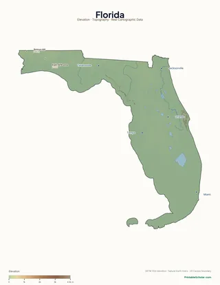
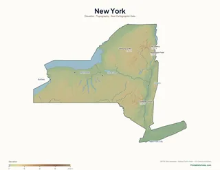
Physical maps for every state.
Topographic maps rendered from NASA SRTM 30m elevation data. Mountains, valleys, rivers, and lakes in their actual locations \u2014 not stock images. Three variants per state: labeled atlas, blank for labeling exercises, and a high-contrast poster.
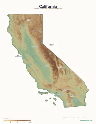
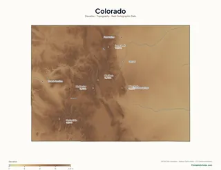
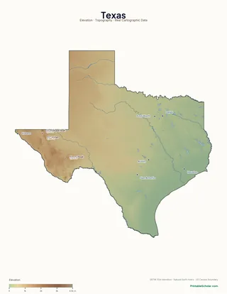
Browse all 48 contiguous states → · Hawaii, Alaska, continents and world coming next.
Curated by grade
Map packs by grade level.
Each pack: curated maps from our library + a multi-week activity guide aligned to grade-level standards. The fastest way to start a geography unit.

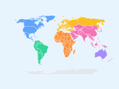
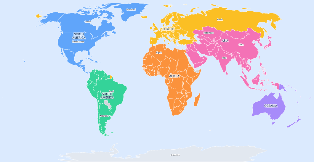
World Explorer
7 continents, 5 oceans. 4-week starter sequence.
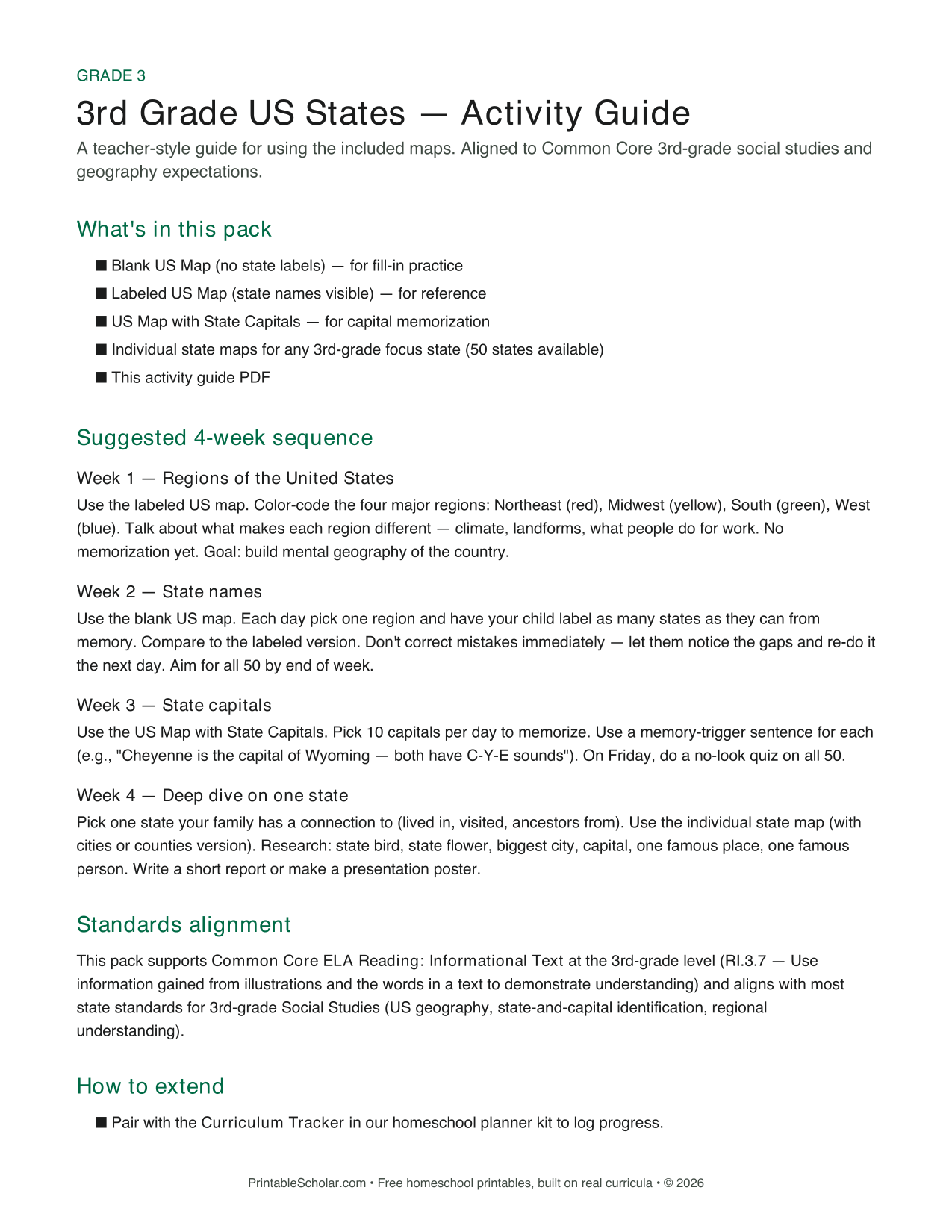
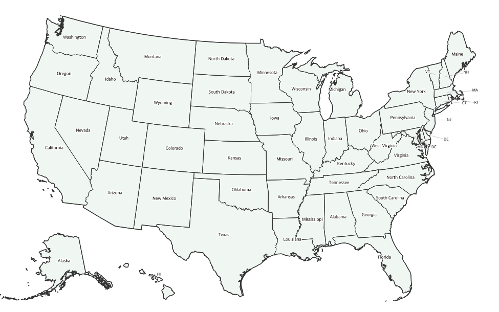
US States
All 50 states + capitals. 4-week sequence with regional focus.
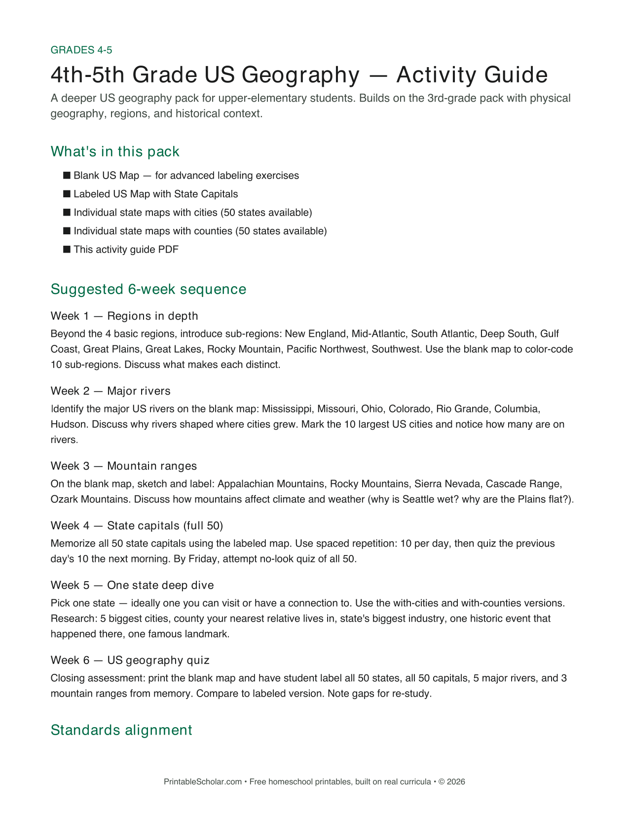
US Geography
Regions, rivers, mountains. 6-week sequence + state deep-dive.
World Geography
All 7 continents in 8 weeks. Country-by-country labeling.
Browse the full library
Every state, country, and continent.
166 maps across the US, the world, and individual continents.
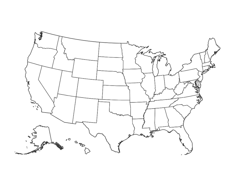
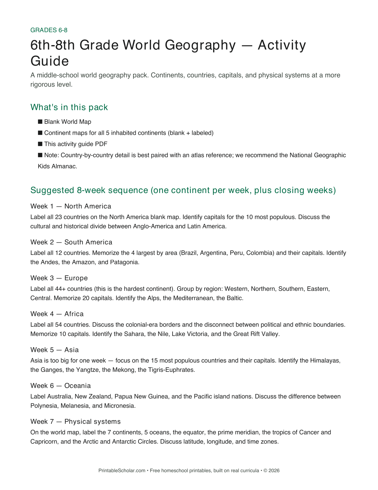
United States
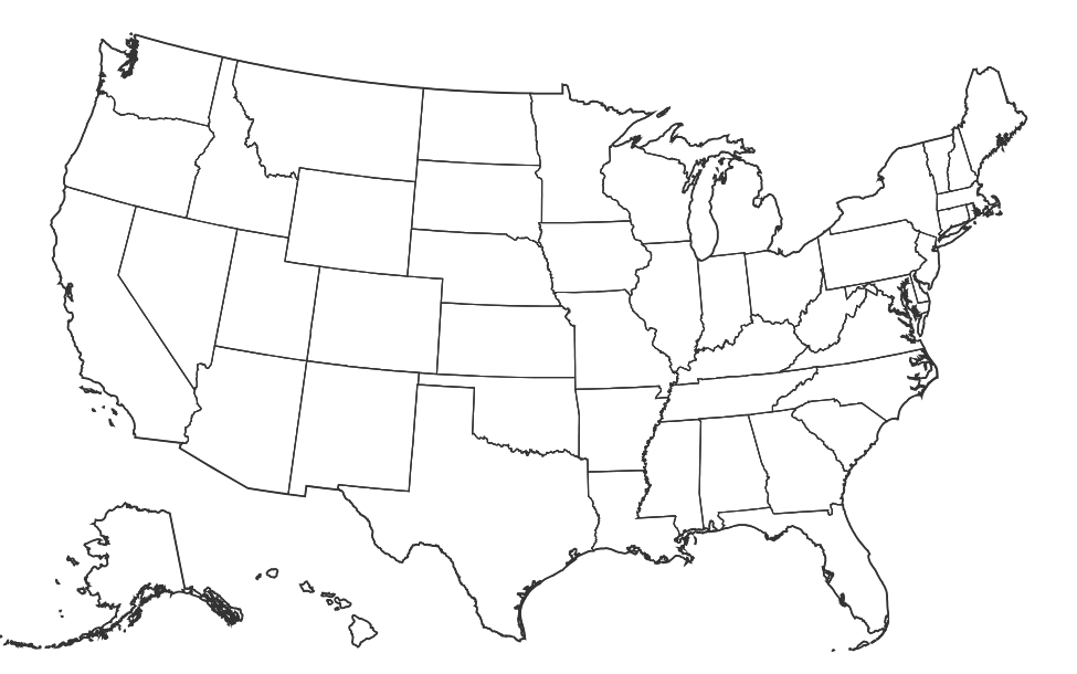
Individual state maps
Blank outline maps for all 50 states. Each links to a full page with PDF + PNG downloads.
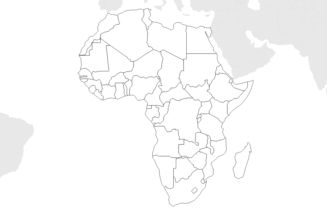
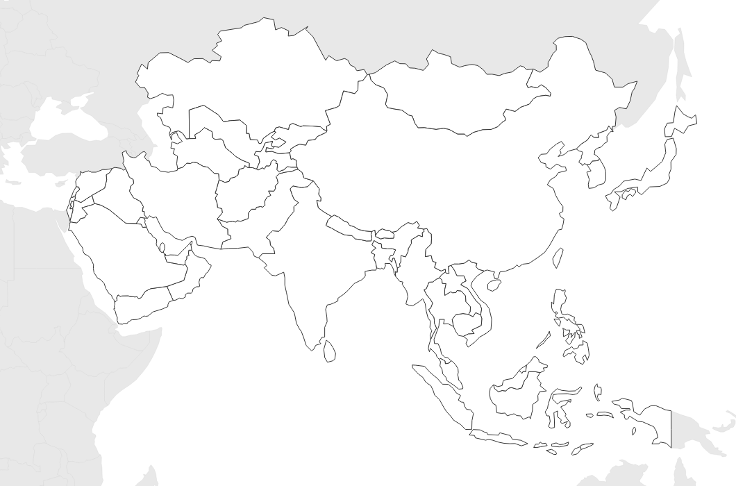
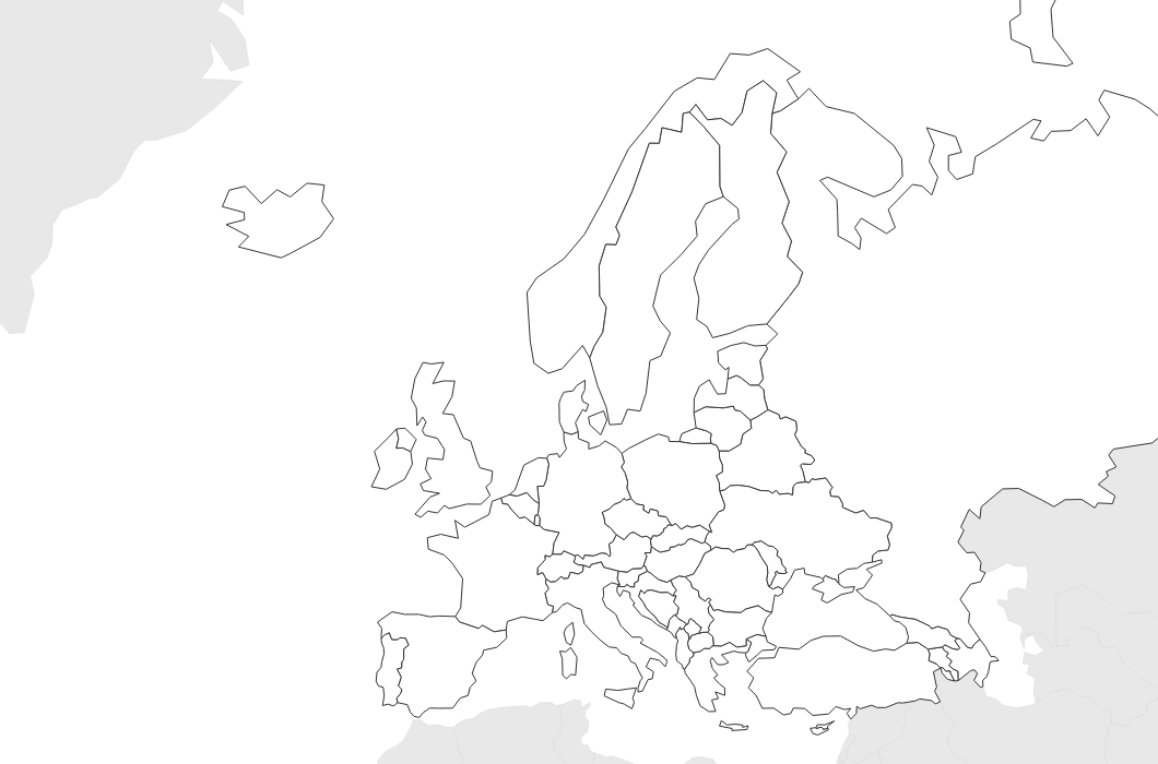
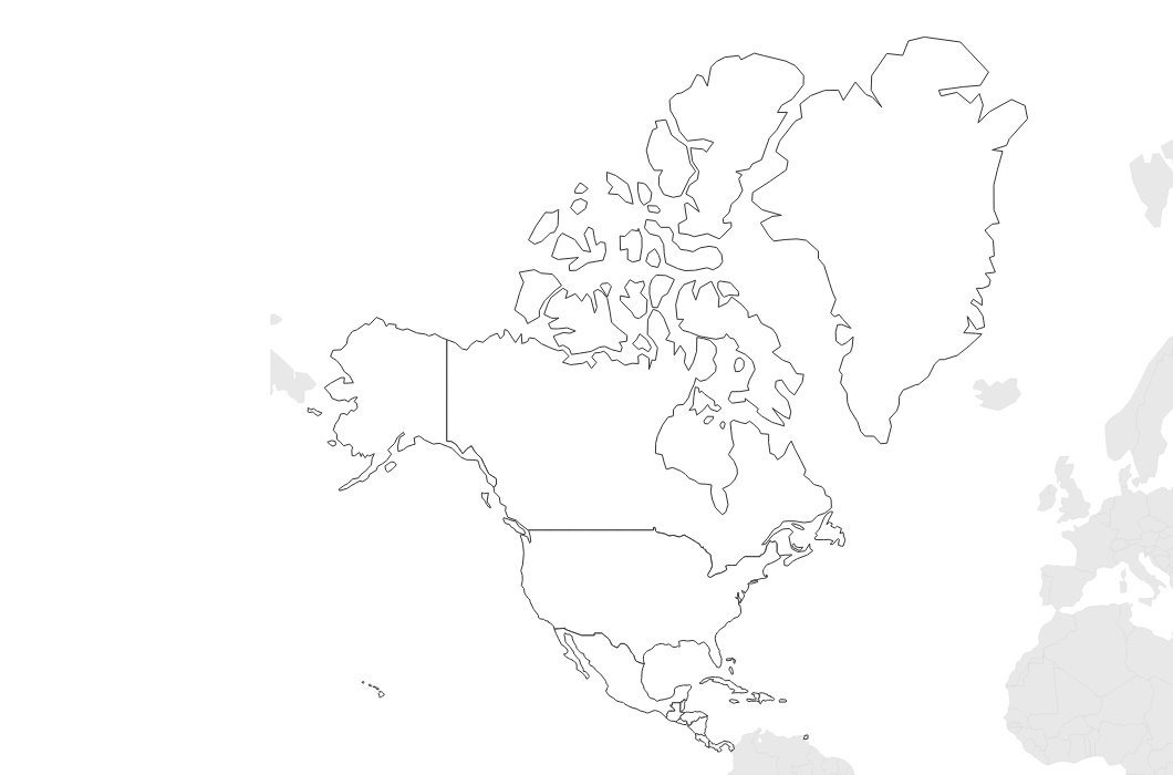
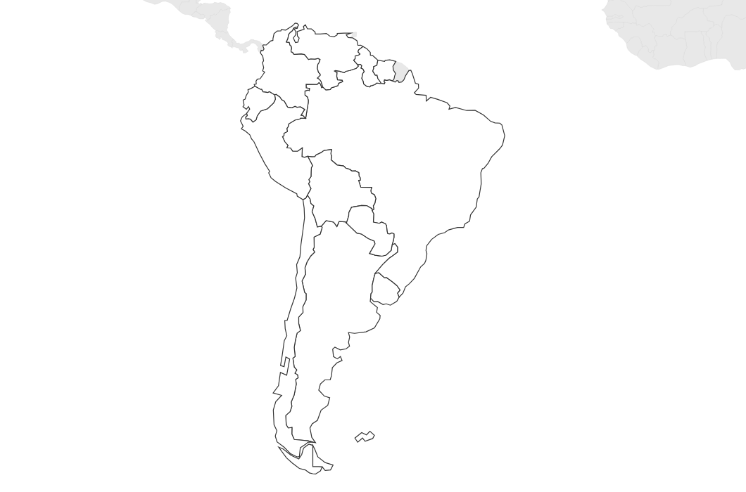
World maps
How we make these maps.
Most "printable map" sites use AI-generated approximations or scraped clipart. Ours are rendered from real cartographic datasets — the same ones used by professional cartographers and government agencies. State boundaries from US Census TIGER/Line, country borders from Natural Earth, physical features from USGS. Refreshed when the upstream data refreshes.
Read the full methodology arrow_forward