 Printable Scholar
Free Printable Blank Map of Indiana
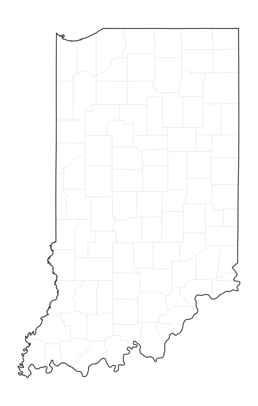
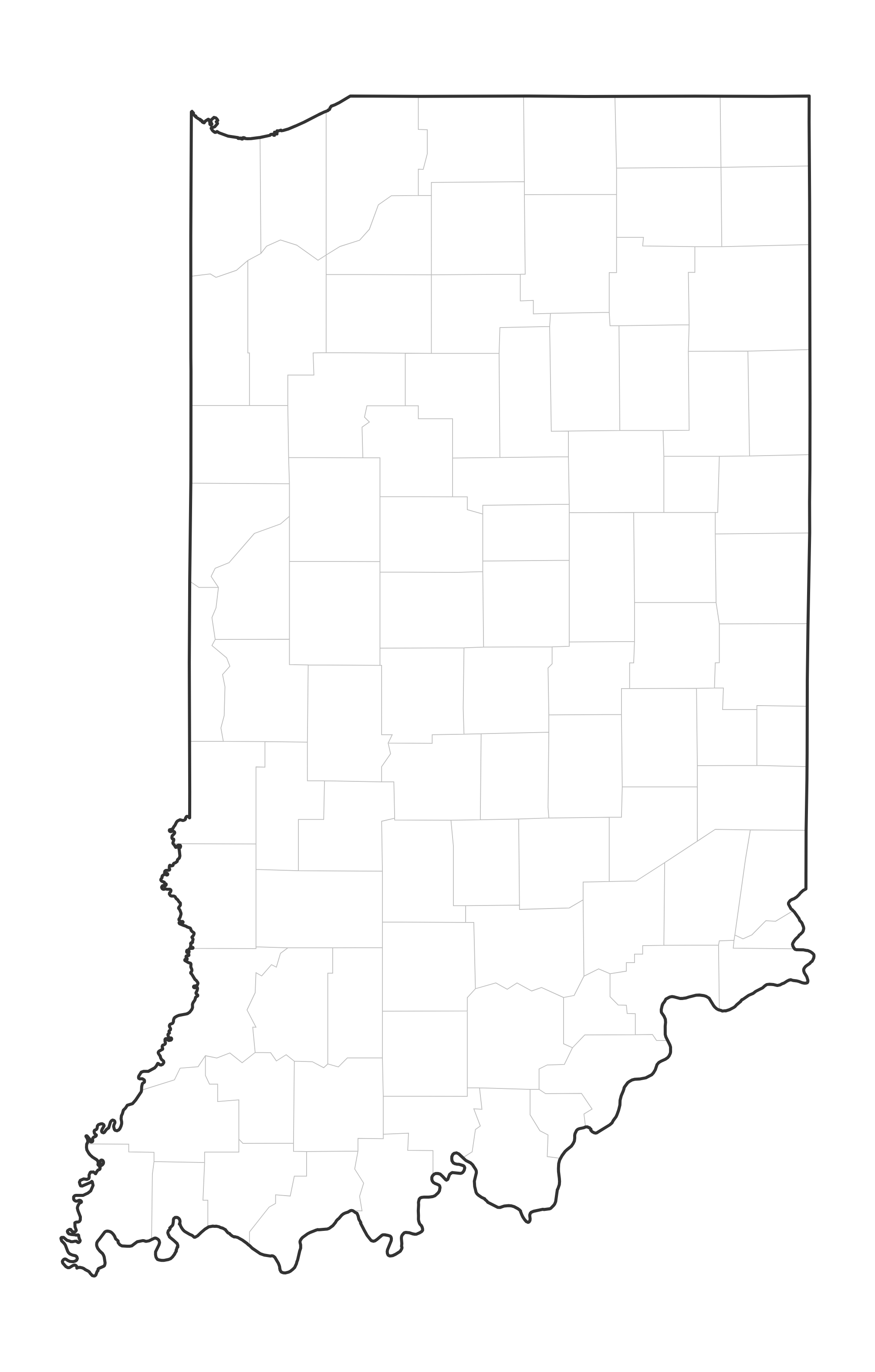
Free printable blank map of Indiana in two versions: with county lines, or outline only. No labels — ideal for geography quizzes, coloring, and classroom activities.
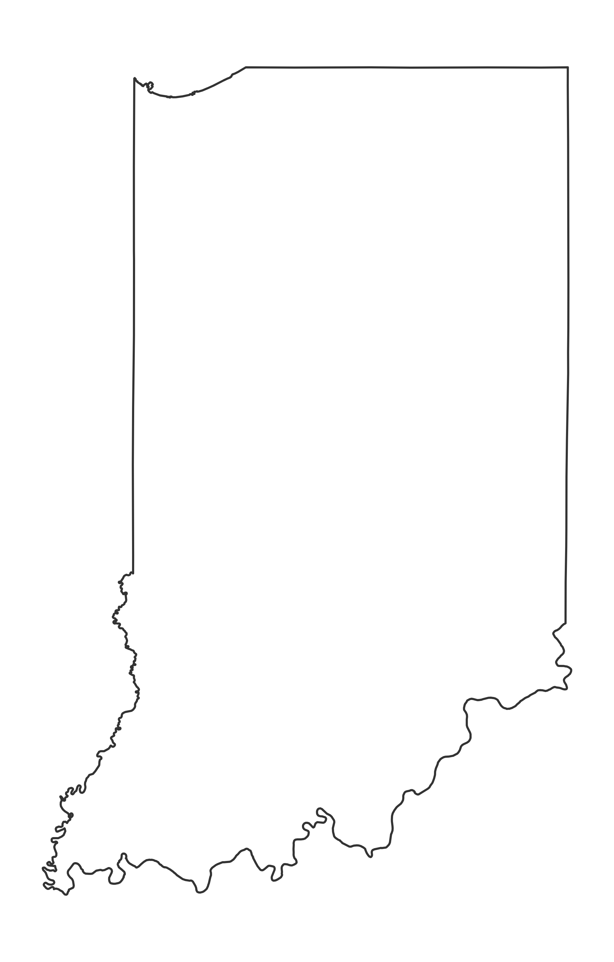
Indiana Outline Map (No County Lines)
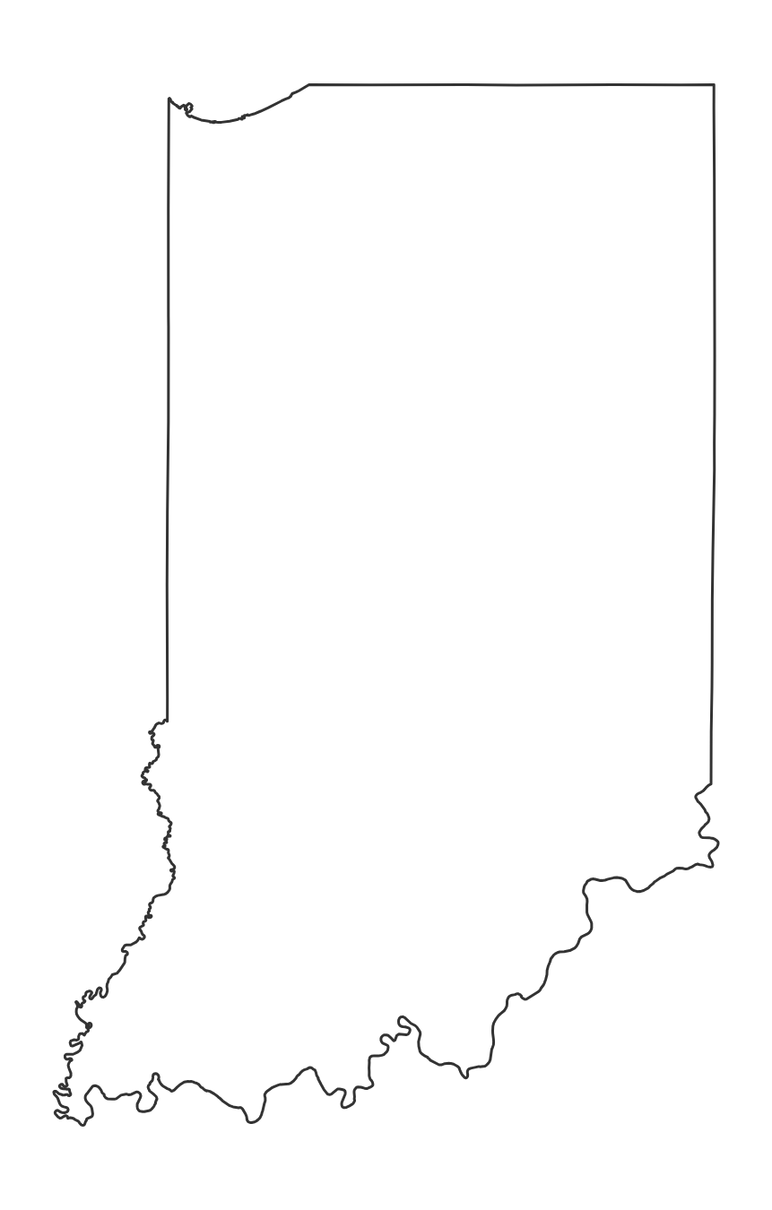
Just the state border, with nothing inside. Use it for tracing, coloring, or drawing in your own rivers, regions and cities.
About This Indiana Map
This page has two free printable blank maps of Indiana. The first shows all 92 county boundaries as light lines with no labels; the second is an outline of the state border only. Indiana, known as the "Hoosier State," has its capital in Indianapolis. Use either one for quizzes, coloring activities, or labeling practice.
How to Print
Click "Download PDF" for a print-ready file that automatically fits US Letter paper (8.5" × 11") with proper margins. Or download the high-resolution PNG to use in presentations, worksheets, or other documents.
Classroom Ideas
This blank map is perfect for geography quizzes and labeling exercises. Have students identify counties, mark the capital Indianapolis, label major cities, or color regions. Pair with our Indiana map with cities as an answer key.
Frequently Asked Questions
What are the largest cities in Indiana?
The largest cities in Indiana by population include Indianapolis, Fort Wayne, Evansville, Fishers, South Bend. The state capital is Indianapolis.
What is the capital of Indiana?
The capital of Indiana is Indianapolis.
What paper size should I use to print this map?
This map is designed for standard US Letter paper (8.5" × 11"). The PDF download automatically fits the map to your page with proper margins.
Is there a blank Indiana map without county lines?
Yes. This page has two blank maps of Indiana: one showing the 92 counties as light lines, and an outline-only version with just the state border.
More State Maps
States that border Indiana
Blank maps of the 4 states that share a border with Indiana.
The region and the whole country
Blank maps for every state
- Alabama
- Alaska
- Arizona
- Arkansas
- California
- Colorado
- Connecticut
- Delaware
- Florida
- Georgia
- Hawaii
- Idaho
- Illinois
- Indiana
- Iowa
- Kansas
- Kentucky
- Louisiana
- Maine
- Maryland
- Massachusetts
- Michigan
- Minnesota
- Mississippi
- Missouri
- Montana
- Nebraska
- Nevada
- New Hampshire
- New Jersey
- New Mexico
- New York
- North Carolina
- North Dakota
- Ohio
- Oklahoma
- Oregon
- Pennsylvania
- Rhode Island
- South Carolina
- South Dakota
- Tennessee
- Texas
- Utah
- Vermont
- Virginia
- Washington
- West Virginia
- Wisconsin
- Wyoming