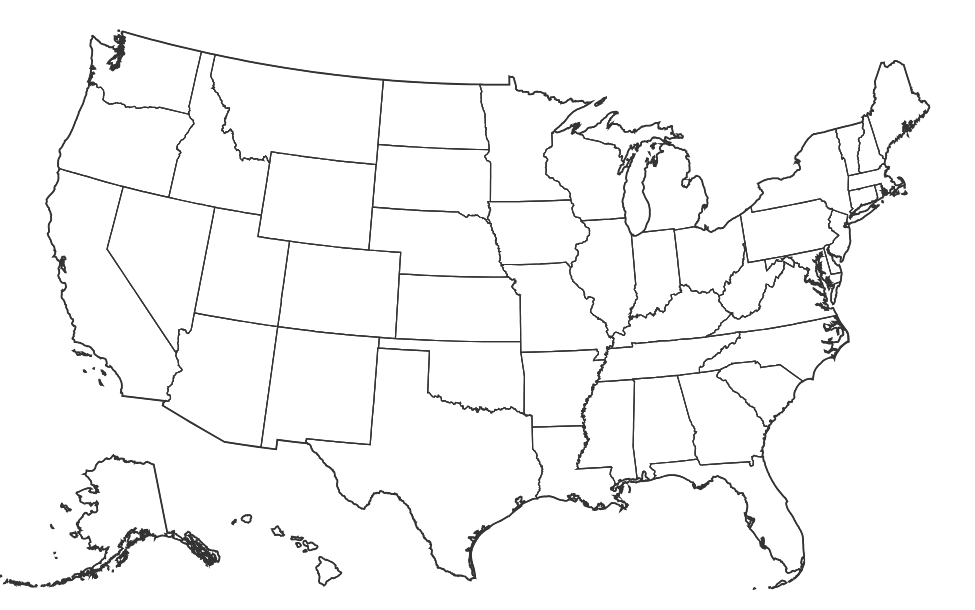
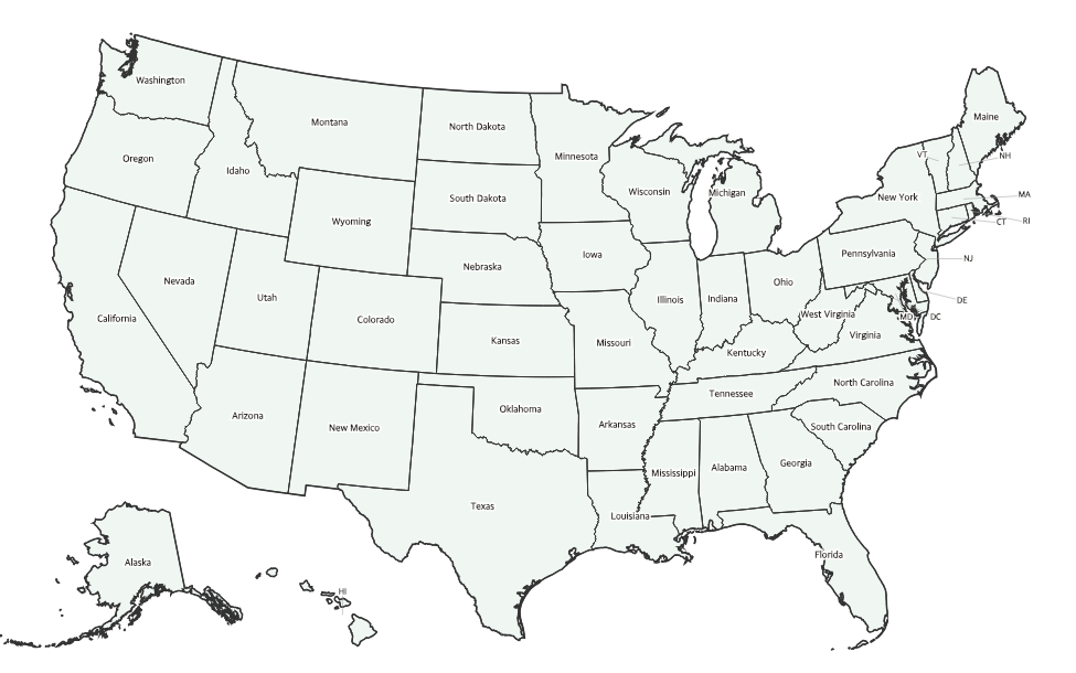
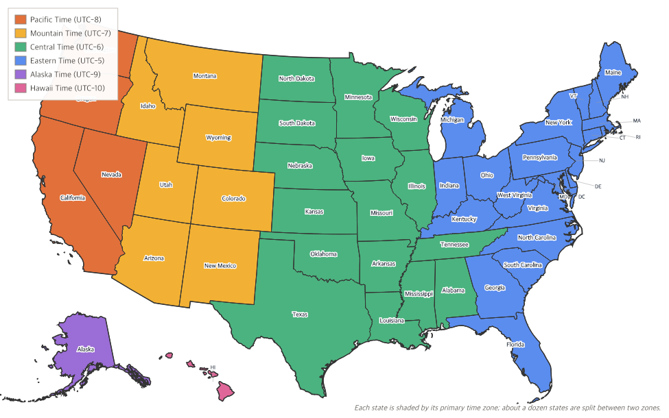
Free Printable US Regions Map
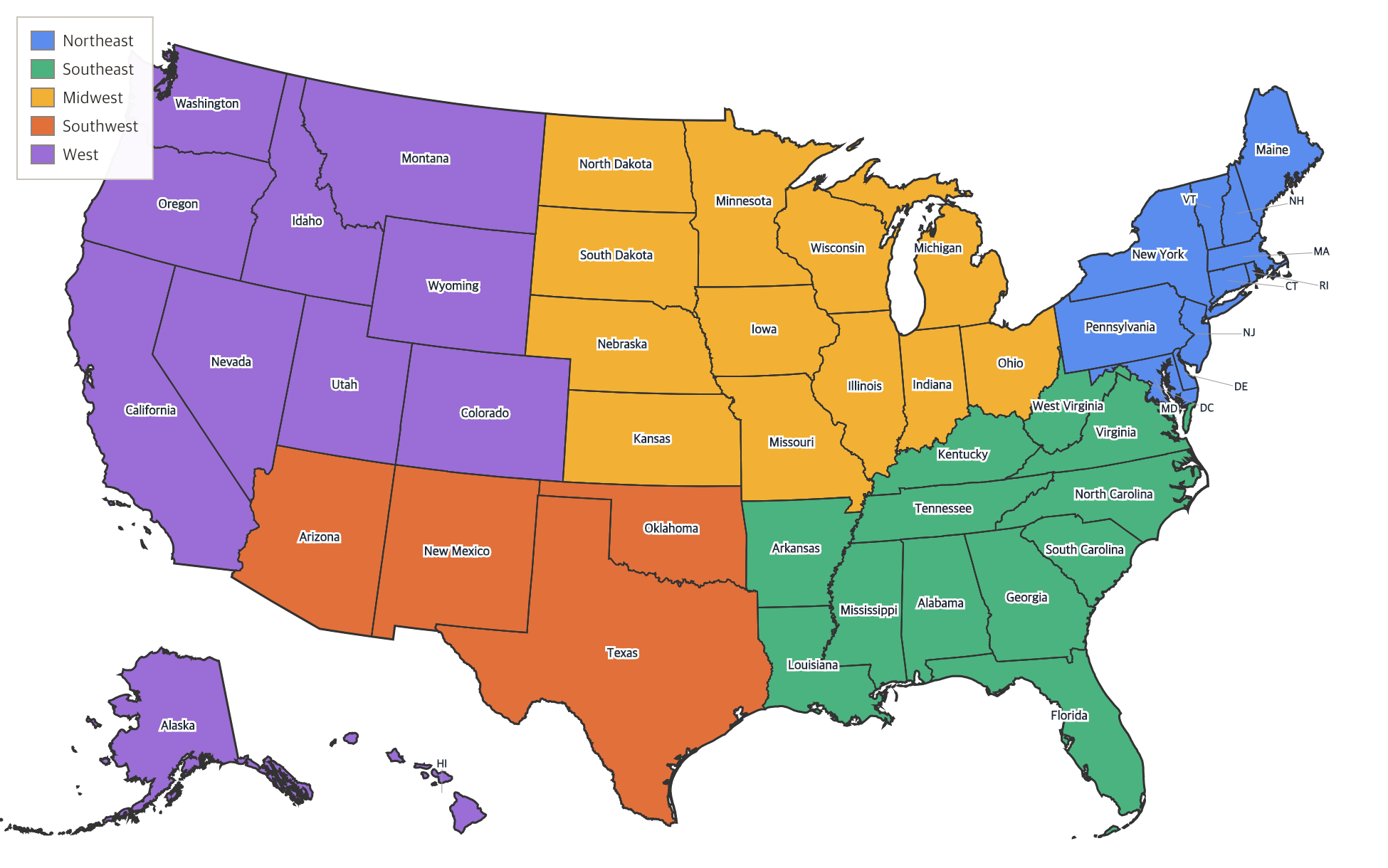
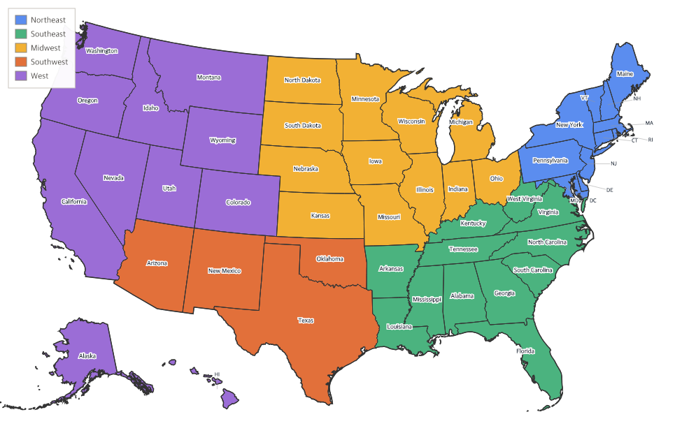
Free printable map of the 5 regions of the United States — the Northeast, Southeast, Midwest, Southwest, and West — color-coded with all 50 states labeled. A classroom-ready geography resource.
About This US Map
Free printable map of the 5 regions of the United States — the Northeast, Southeast, Midwest, Southwest, and West — color-coded with all 50 states labeled. A classroom-ready geography resource.
How to Use
Print this map on standard US Letter paper (8.5" × 11"). Click "Download PDF" for a print-ready file that automatically fits your page in the right orientation, or "Download PNG" for the high-resolution image file.
Frequently Asked Questions
What are the 5 regions of the United States?
The five regions most commonly taught in U.S. schools are the Northeast, the Southeast, the Midwest, the Southwest, and the West. Grouping the fifty states this way helps students compare their geography, climate, economy, and history.
Which states are in each region?
The Northeast includes the New England and Mid-Atlantic states (Maine down through Pennsylvania, plus Maryland and Delaware). The Southeast runs from Virginia and Kentucky down to Florida and west to Arkansas and Louisiana. The Midwest covers the Great Lakes and Plains states from Ohio to Kansas and the Dakotas. The Southwest is Texas, Oklahoma, New Mexico, and Arizona. The West stretches from the Rocky Mountains to the Pacific and includes Alaska and Hawaii.
Why are the states grouped into regions?
States in the same region often share landforms, climate, and history, which shaped how people there live and work. Regions make a large country easier to study by breaking the fifty states into five manageable groups.
Is this map free to print?
Yes. Download the print-quality version and print as many copies as you like for your classroom or homeschool — it's completely free.