 Printable Scholar
3rd Grade US States Map Pack
One 14-page PDF for learning the 50 states and their capitals: four US maps, a draw-the-states sheet, a states and capitals study list, a capitals quiz, a state report page, four region word searches, and a four-week plan for using them. Everything prints in black and white.
download Download the pack (PDF, 14 pages)Free • No sign-up • US Letter • 5.4 MB
What's inside
All 14 pages come in the one download. The maps, the drawing sheet and the word searches also have their own pages if you want just one, and the regions map comes in color there.
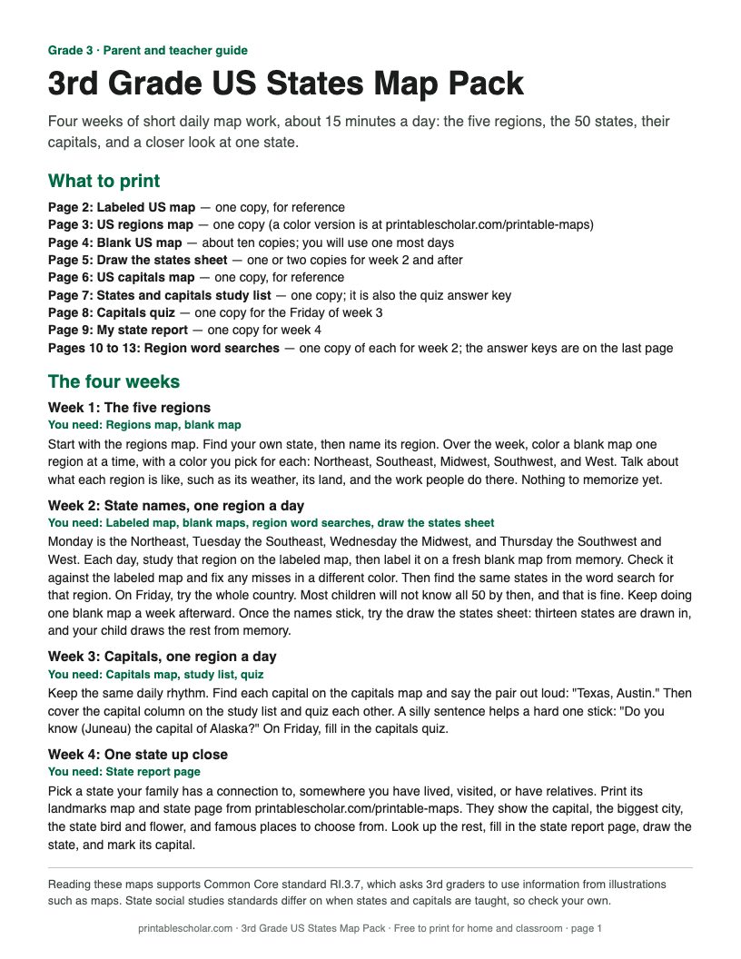
1. Parent and teacher guide
The four-week plan and what to print.
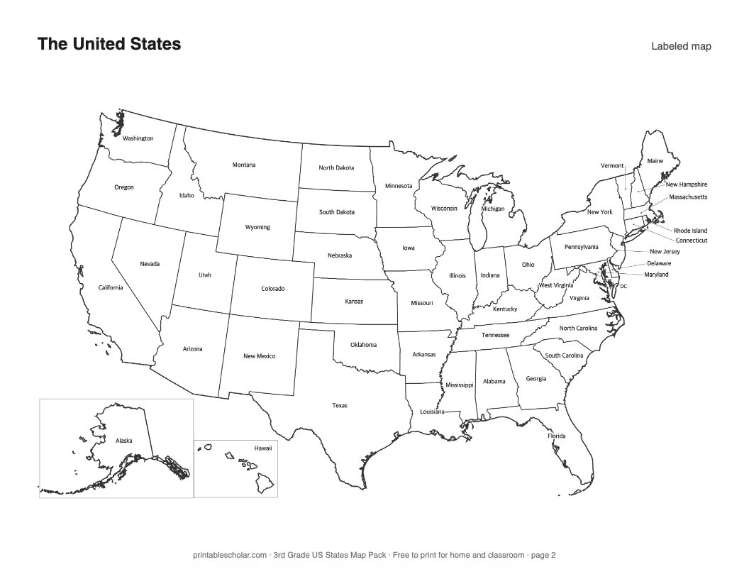
2. Labeled US map
All 50 state names.
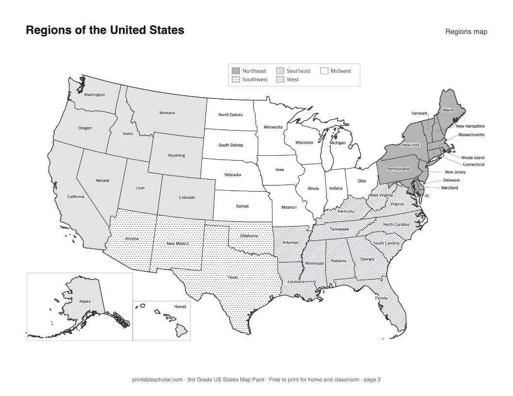
3. US regions map
Northeast, Southeast, Midwest, Southwest, and West, in gray tones and patterns that print on any printer.
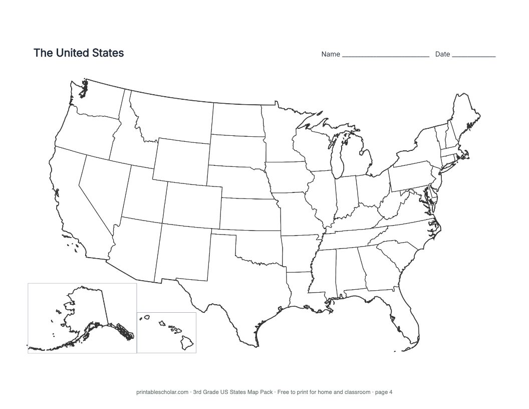
4. Blank US map
State outlines only, for coloring and labeling.
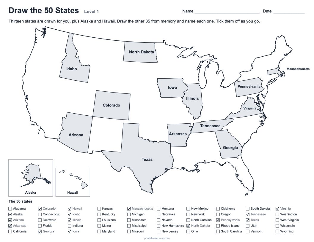
5. Draw the states sheet
Thirteen states drawn in; draw and name the rest from memory.
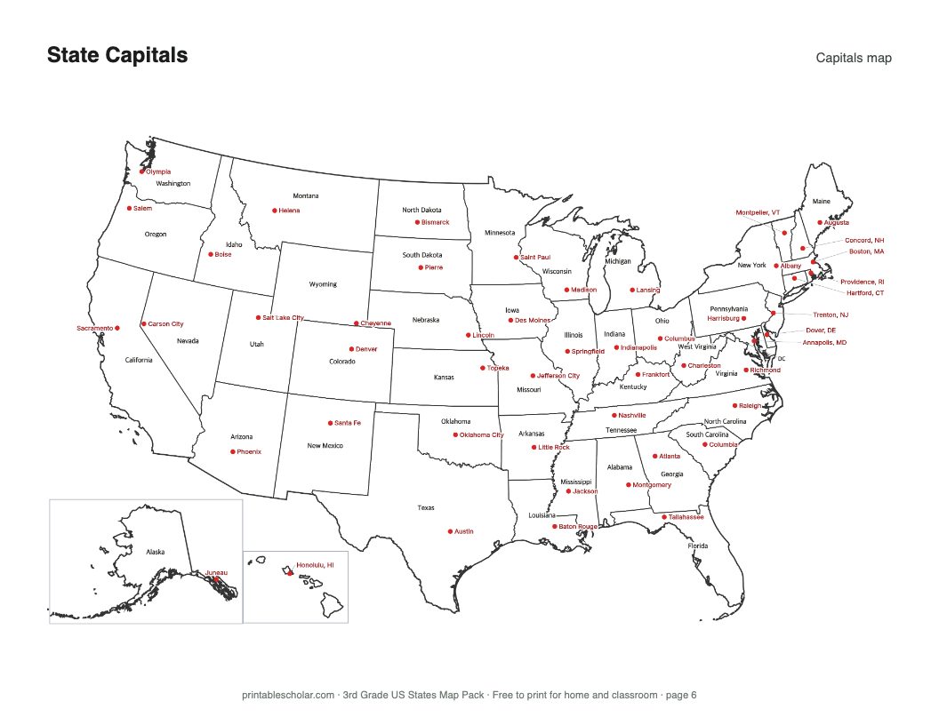
6. US capitals map
All 50 capitals marked and named.
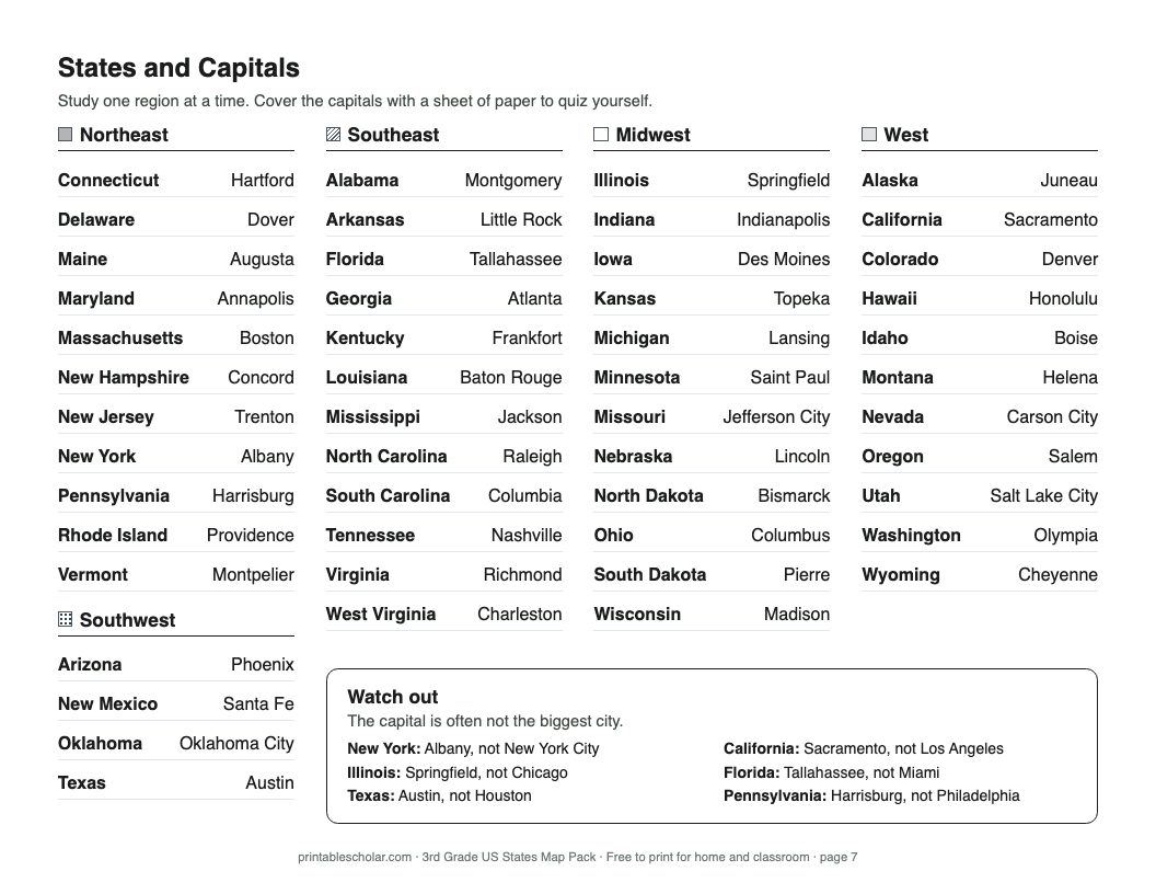
7. States and capitals study list
Every state and capital, grouped by region.
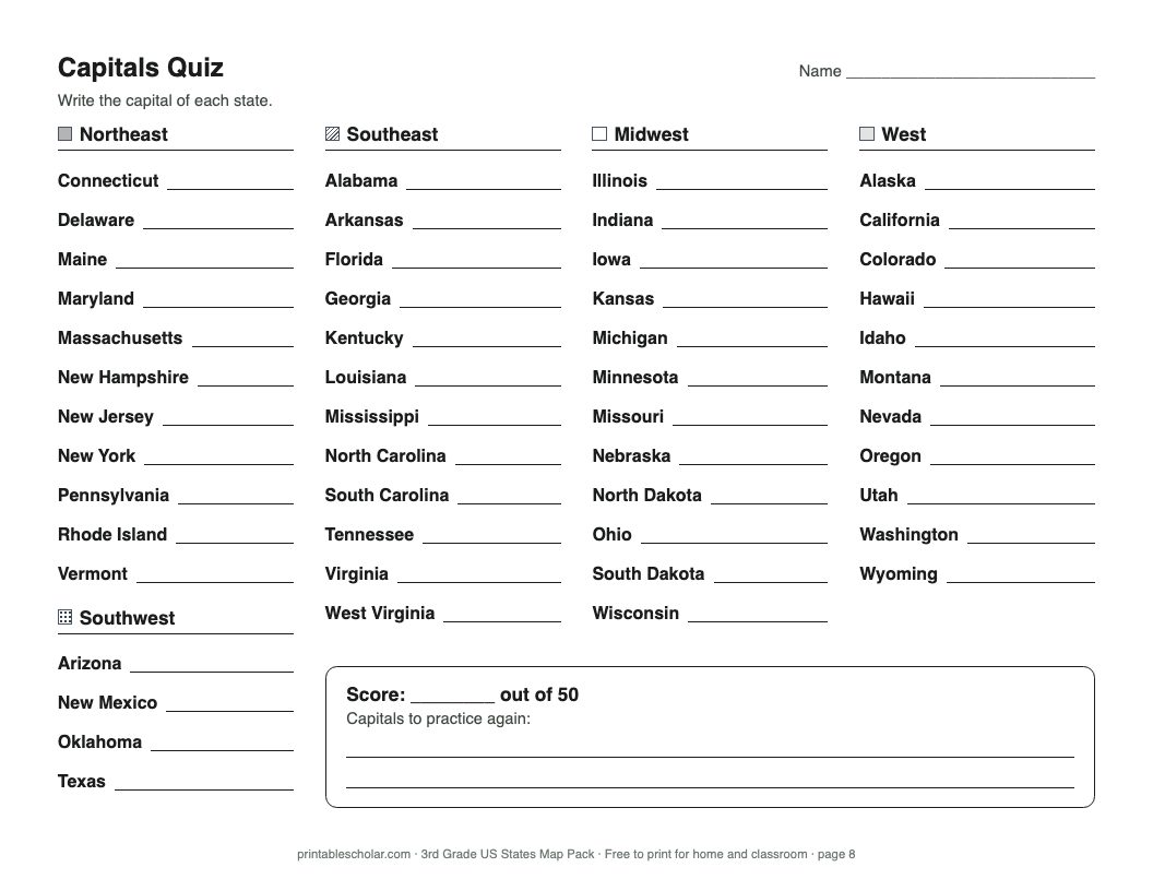
8. Capitals quiz
The same list with the capitals left blank.
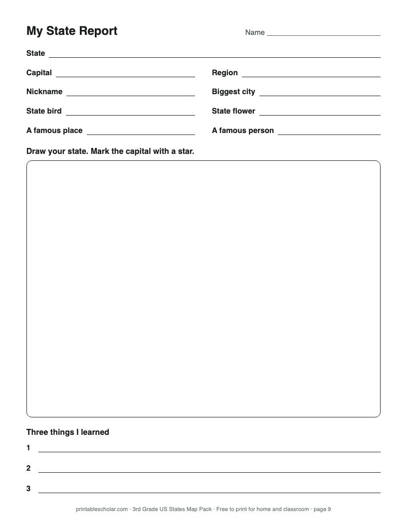
9. My state report
Facts to look up, a space to draw the state, and three things learned.
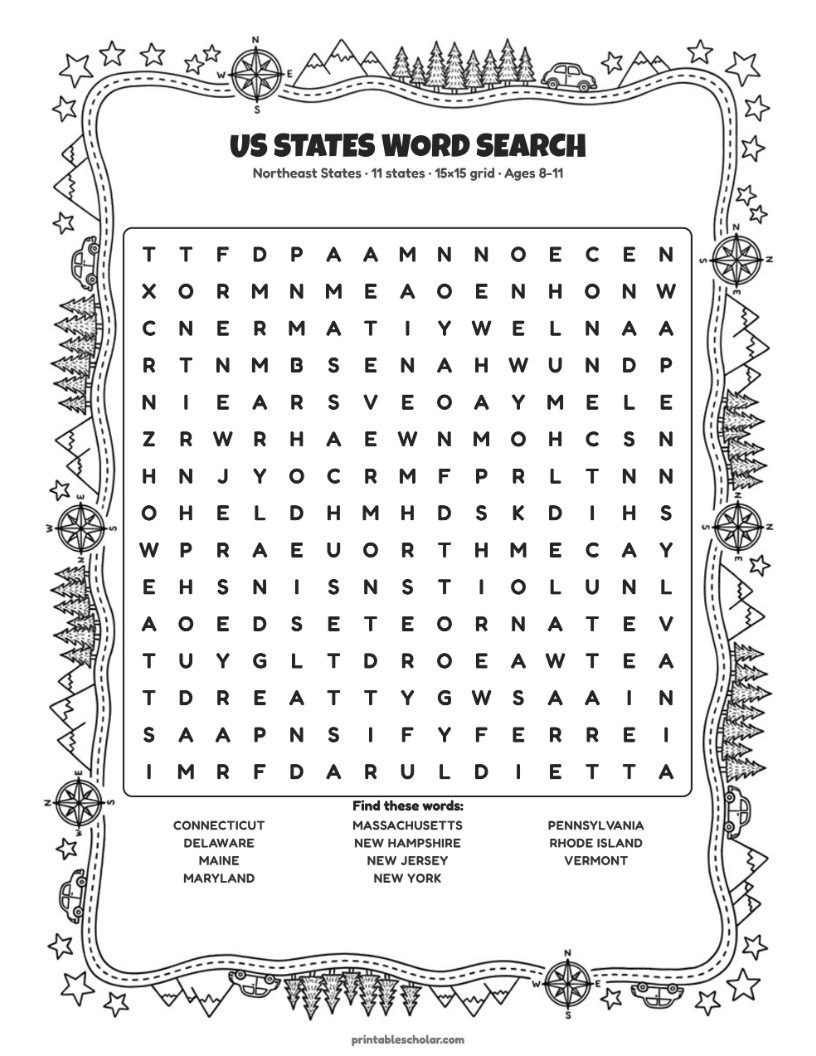
10. Northeast word search
Week 2, Monday: every state in the Northeast.
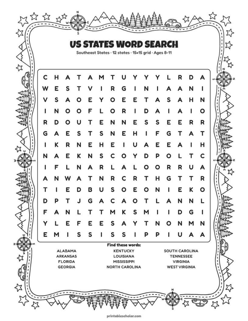
11. Southeast word search
Week 2, Tuesday: every state in the Southeast.
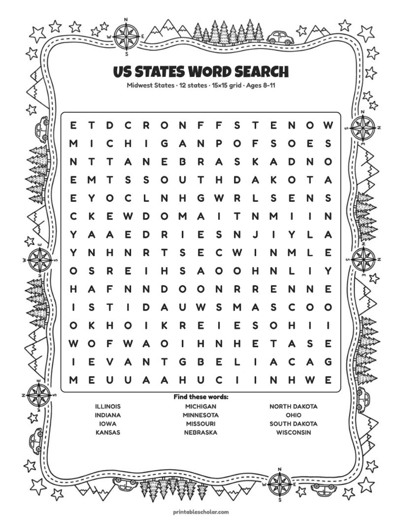
12. Midwest word search
Week 2, Wednesday: every state in the Midwest.
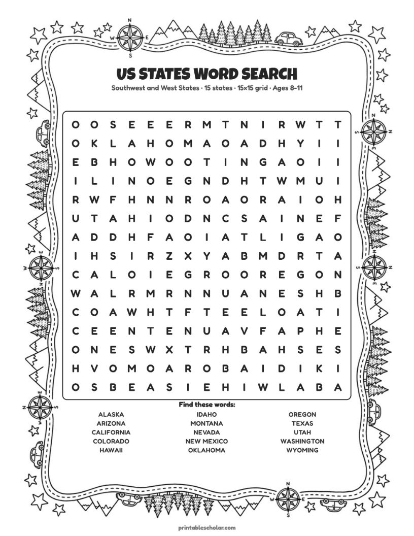
13. Southwest and West word search
Week 2, Thursday: every state in the Southwest and West.
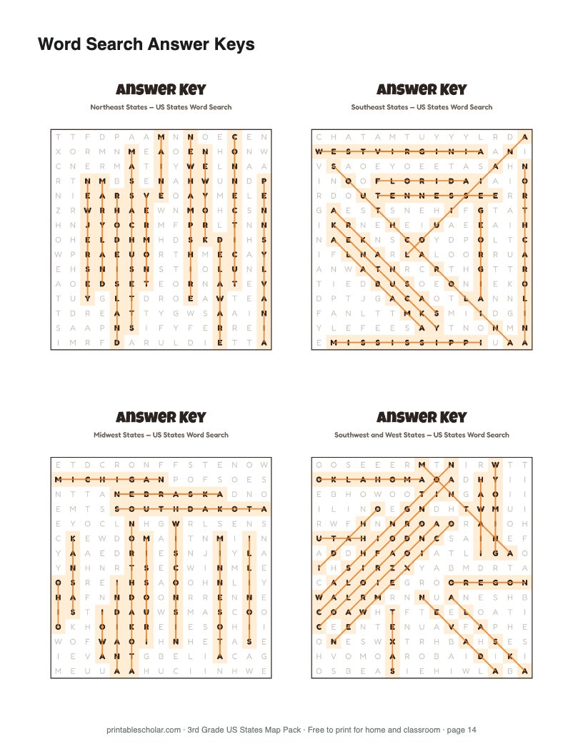
14. Word search answer keys
All four word searches solved, on one page.
The four-week plan
About 15 minutes a day. The plan is printed on page 1 of the pack, so you don't need this page open.
Week 1: The five regions
You need: Regions map, blank map
Start with the regions map. Find your own state, then name its region. Over the week, color a blank map one region at a time, with a color you pick for each: Northeast, Southeast, Midwest, Southwest, and West. Talk about what each region is like, such as its weather, its land, and the work people do there. Nothing to memorize yet.
Week 2: State names, one region a day
You need: Labeled map, blank maps, region word searches, draw the states sheet
Monday is the Northeast, Tuesday the Southeast, Wednesday the Midwest, and Thursday the Southwest and West. Each day, study that region on the labeled map, then label it on a fresh blank map from memory. Check it against the labeled map and fix any misses in a different color. Then find the same states in the word search for that region. On Friday, try the whole country. Most children will not know all 50 by then, and that is fine. Keep doing one blank map a week afterward. Once the names stick, try the draw the states sheet: thirteen states are drawn in, and your child draws the rest from memory.
Week 3: Capitals, one region a day
You need: Capitals map, study list, quiz
Keep the same daily rhythm. Find each capital on the capitals map and say the pair out loud: "Texas, Austin." Then cover the capital column on the study list and quiz each other. A silly sentence helps a hard one stick: "Do you know (Juneau) the capital of Alaska?" On Friday, fill in the capitals quiz.
Want more practice? Our states and capitals page has a reverse quiz, matching by region, a map quiz, flashcards, bingo and copywork.
Week 4: One state up close
You need: State report page
Pick a state your family has a connection to, somewhere you have lived, visited, or have relatives. Print its landmarks map and state page from our state maps (use the Landmarks link beside the state). They show the capital, the biggest city, the state bird and flower, and famous places to choose from. Look up the rest, fill in the state report page, draw the state, and mark its capital.
Want a bigger project for that state? Each state has a State Report Kit ($5): three reading pages, five maps, an 8-page report booklet and a pennant, with its History page free to try. Teaching a class where everyone takes a different state? All 50 kits are $39.
Reading these maps supports Common Core standard RI.3.7, which asks 3rd graders to use information from illustrations such as maps. State social studies standards differ on when states and capitals are taught, so check your own.
Track progress
Use the free Curriculum Tracker from our homeschool planner kit to log lessons week by week.
Need more maps?
Blank, cities, county, and physical maps for every state, plus the world and the continents.
Browse all maps arrow_forward