Free printable physical maps.
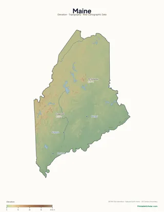
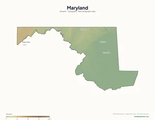
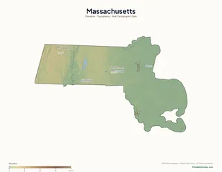
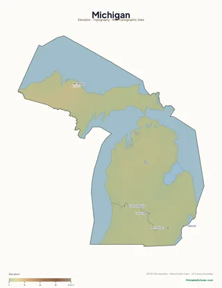
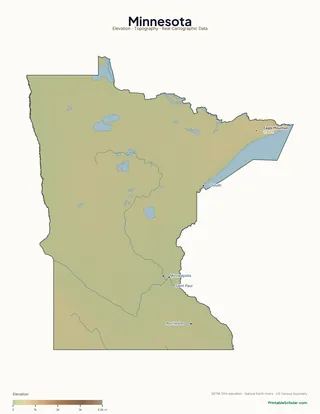
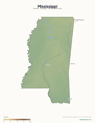
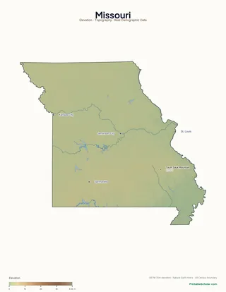
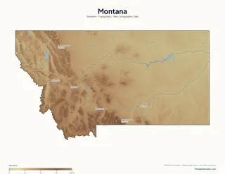
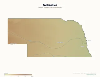
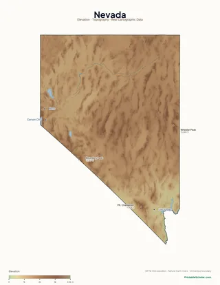
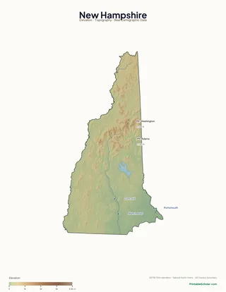
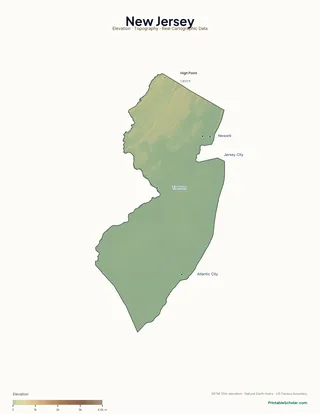
Topographic maps for every US state — rendered from NASA SRTM 30-meter elevation data, not stock images. Mountains, valleys, lakes, and rivers in their actual locations. Three variants per state: labeled atlas, blank for labeling, and a high-contrast poster.
All 48 contiguous states
Pick your state.
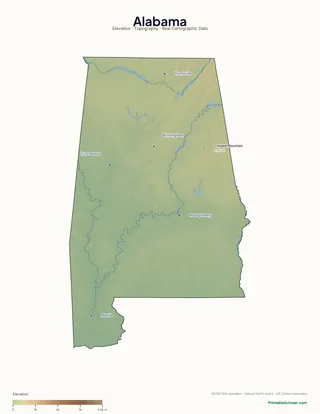
Alabama
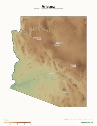
Arizona
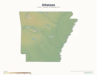
Arkansas
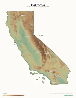
California
Colorado
Connecticut
Delaware
Florida
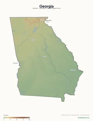
Georgia
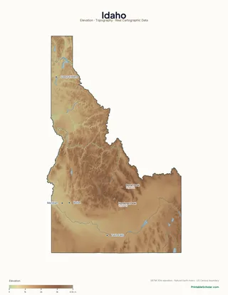
Idaho
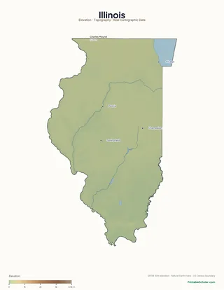
Illinois
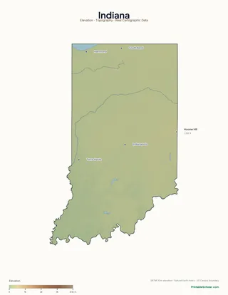
Indiana
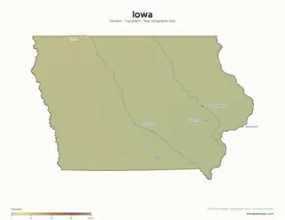
Iowa
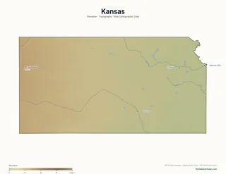
Kansas
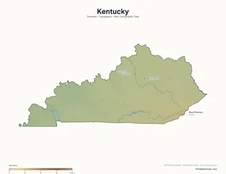
Kentucky
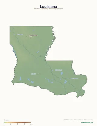
Louisiana
Maine
Maryland
Massachusetts
Michigan
Minnesota
Mississippi
Missouri
Montana
Nebraska
Nevada
New Hampshire
New Jersey
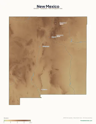
New Mexico
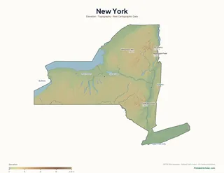
New York
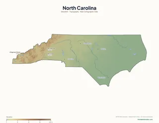
North Carolina
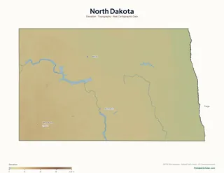
North Dakota
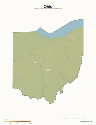
Ohio
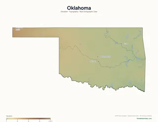
Oklahoma
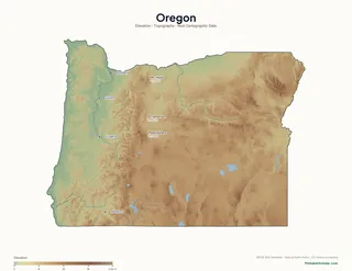
Oregon
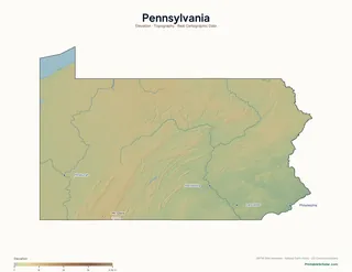
Pennsylvania
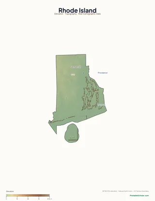
Rhode Island
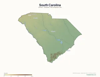
South Carolina
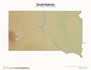
South Dakota
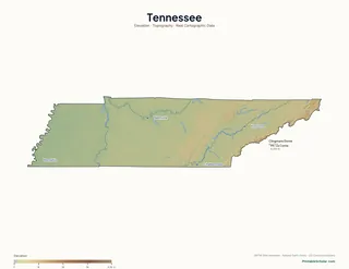
Tennessee
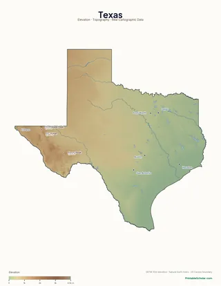
Texas
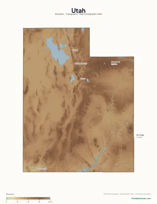
Utah
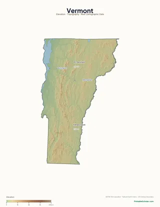
Vermont
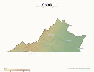
Virginia
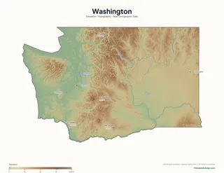
Washington

West Virginia
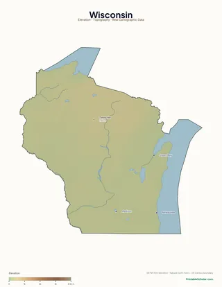
Wisconsin
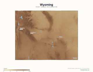
Wyoming
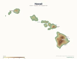
Hawaii
Alaska coming in v2 (different projection requirements). Continent + world physical maps shipping next.
Why physical maps?
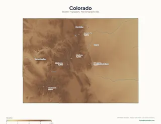
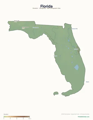
Most "free state map" sites publish flat outline maps — which is fine for political-geography exercises, but useless for teaching kids how a state is actually shaped. The Sierra Nevada is invisible on a blank California outline. The Rockies aren't there on a blank Colorado outline. Florida looks like a generic peninsula instead of one of the most lake-defined landscapes in the country.
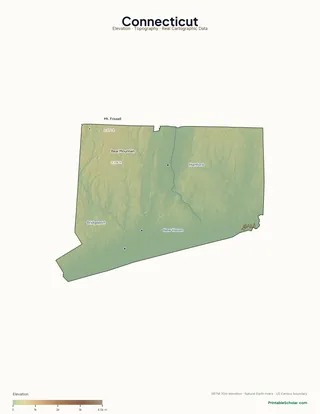
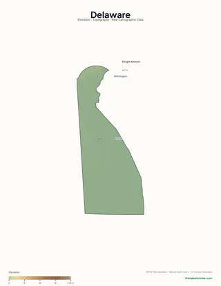
Physical maps fix that. They show terrain, elevation, mountains, rivers, and lakes — the actual shape of the land. They're how kids develop a sense of place: that California has a wall of mountains separating coast from interior, that Colorado is a tilted plateau, that Florida sits on a karst aquifer riddled with lakes.
Every map on this page is rendered from real elevation data (NASA SRTM 30m). Real terrain, real rivers, real lakes — no stock clipart, no AI approximations.
Built from real data.
Elevation: NASA SRTM 30m. Hydrography: Natural Earth (rivers, lakes). State boundaries: US Census TIGER/Line. Same datasets that professional cartographers and government agencies use. Free for you to print as many copies as you need.
Read full methodology arrow_forwardPolitical maps (50 states)
Blank outlines, labeled, with capitals, with cities, with counties. The full collection of political/political-economic state maps.
schoolGrade-level packs
K-2 through 6-8 curated map packs, each with a multi-week activity guide. The 4-5 US Geography pack pairs naturally with these physical maps.
checklistTrack your geography unit
Use our free Curriculum Tracker to log which states you\'ve studied as you work through the physical-map collection.