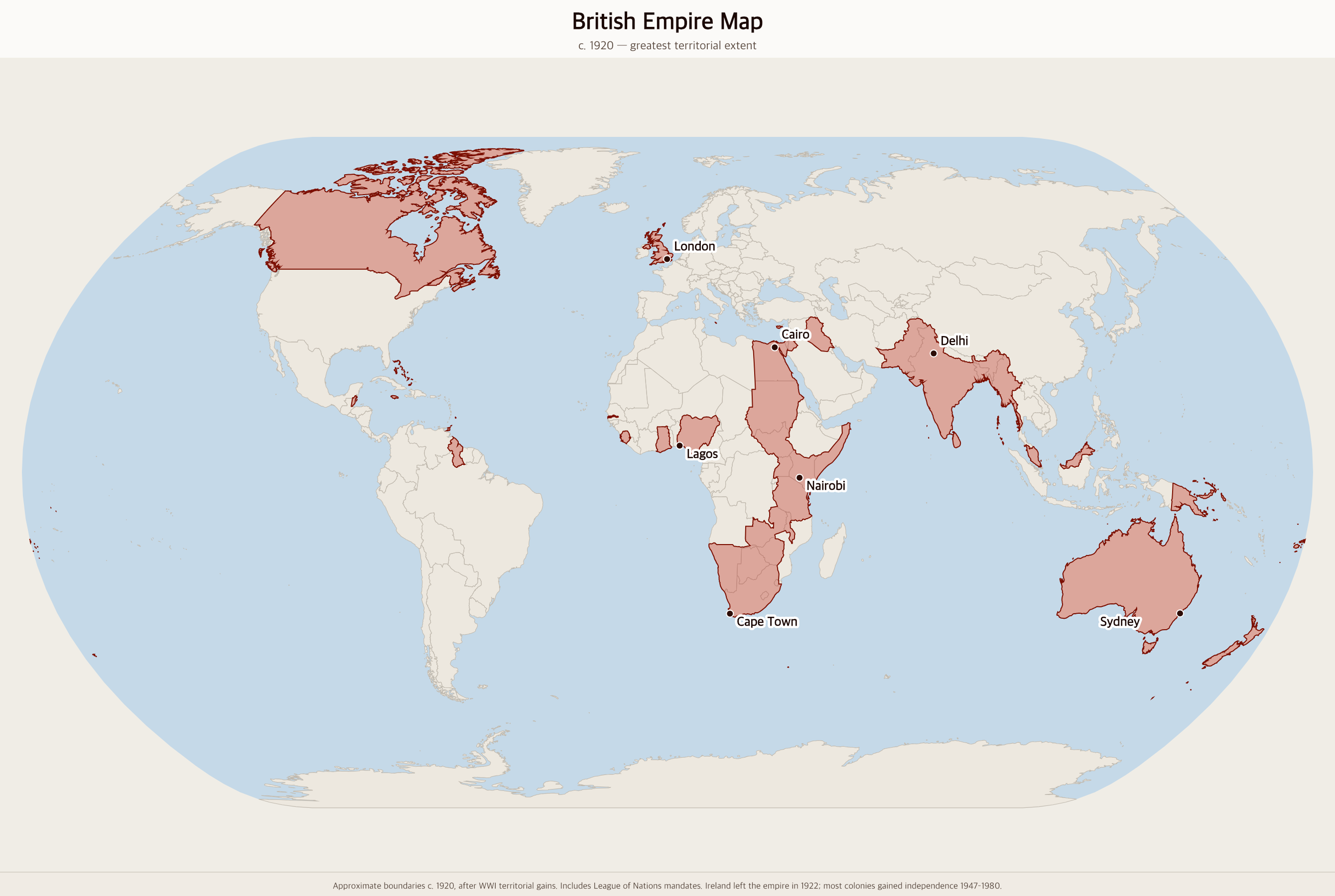
Free Printable British Empire Map
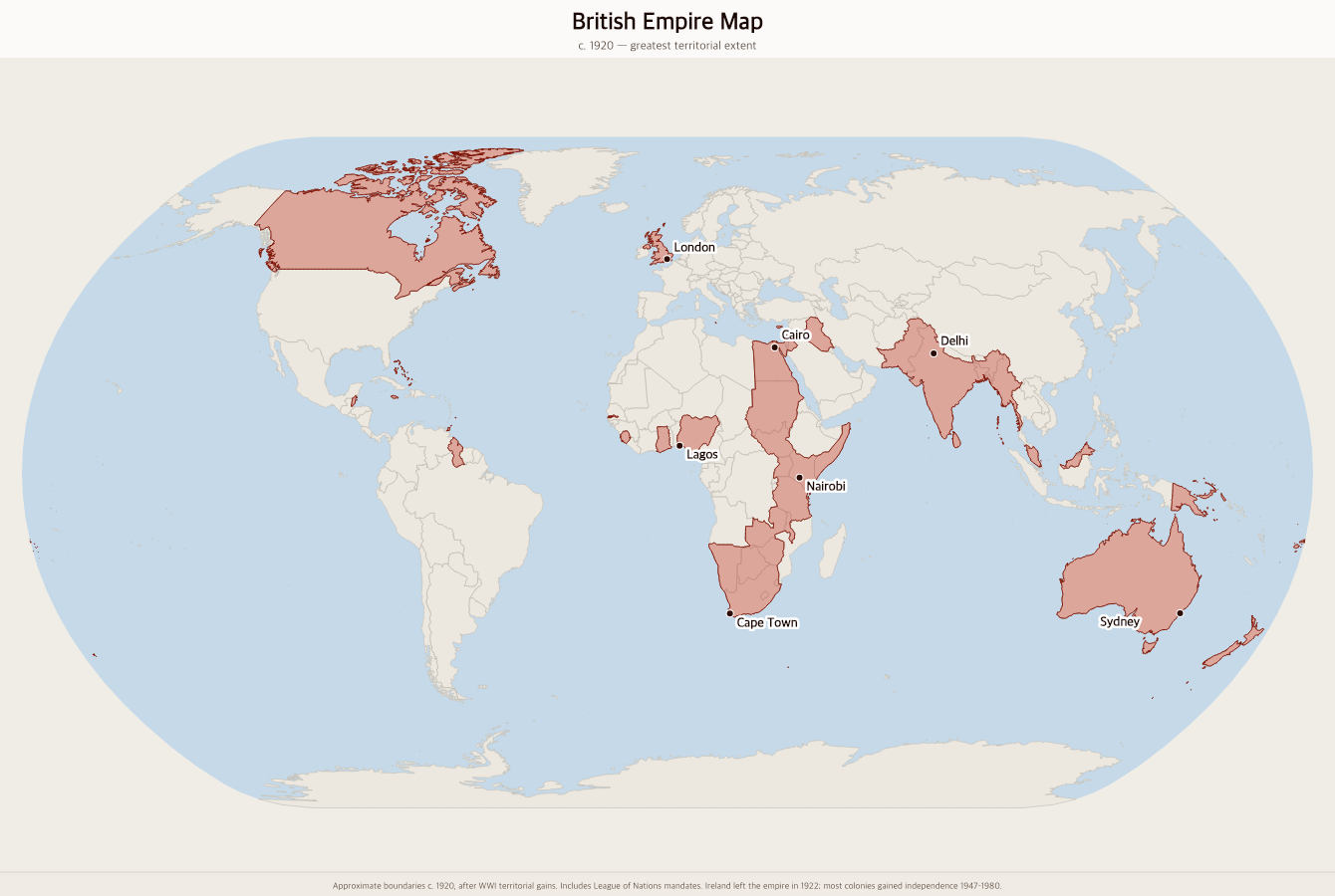
Free printable map of the British Empire at its greatest extent around 1920, showing British territories across every continent — the empire on which the sun never set.
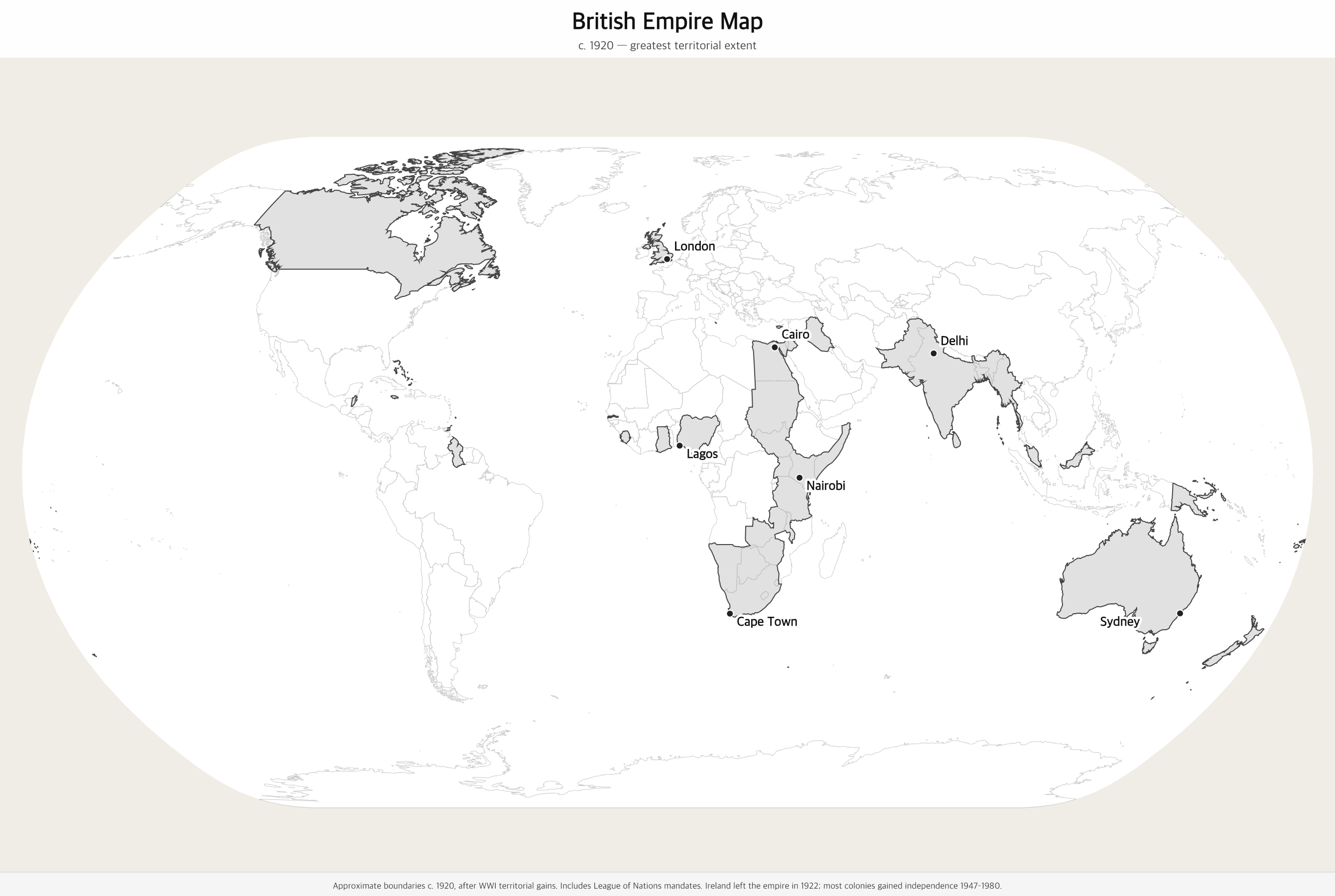
Black & white version
About This Map
Free printable map of the British Empire at its greatest extent around 1920, showing British territories across every continent — the empire on which the sun never set.
The History Behind This Map
The British Empire was the largest empire in history. At its peak around 1920 — following the addition of former German and Ottoman territories after World War I — it covered approximately 35 million square kilometers, about a quarter of the world's total land area, and governed roughly 500 million people, a quarter of the global population at the time.
Britain built its empire through centuries of exploration, trade, and conquest. The East India Company established British power in India in the 1600s. The 13 American colonies were lost in 1783, but Britain expanded massively in Asia, Africa, and the Pacific throughout the 19th century. By 1900, the phrase "the empire on which the sun never sets" was literally true — British territory spanned every time zone.
The 20th century brought rapid decolonization. India and Pakistan gained independence in 1947, setting off a wave of independence movements across Africa and Asia. By 1980, most of the empire had become independent nations. Many former British colonies remain linked through the Commonwealth of Nations, a voluntary association that continues today.
How to Use
Print this map on standard US Letter paper (8.5" × 11"). Click "Download PDF" for a print-ready file that automatically fits your page in landscape orientation, or "Download PNG" for the high-resolution image file. Works great for world history lessons, geography units, or display on a classroom whiteboard.
Frequently Asked Questions
How big was the British Empire at its peak?
At its greatest extent around 1920, the British Empire covered approximately 35 million square kilometers — about 24% of the Earth's total land area. It governed roughly 500 million people, nearly a quarter of the world's population. It remains the largest empire in recorded history by total area.
Which modern countries were part of the British Empire?
The British Empire included the modern countries of Canada, Australia, New Zealand, India, Pakistan, Bangladesh, Myanmar, Sri Lanka, Nigeria, Ghana, Kenya, Uganda, Tanzania, South Africa, Zimbabwe, Zambia, Egypt, Sudan, Iraq, Jordan, Malaysia, Singapore, Jamaica, Trinidad, Barbados, Guyana, Cyprus, Malta, and dozens more.
Why is the British Empire shown in red/pink on maps?
By tradition, British territories on world maps were colored red or pink, making the empire's global reach immediately visible. This convention dates to 19th-century British cartography, when red was the color most clearly visible on printed maps. The sight of red covering a quarter of the globe gave rise to the phrase "the empire on which the sun never sets."
When did the British Empire end?
The British Empire dissolved gradually through decolonization in the 20th century. India gained independence in 1947, triggering a wave of independence movements. Most African colonies became independent in the 1960s. Hong Kong, Britain's last major colony, was returned to China in 1997. Many former colonies remain connected through the Commonwealth of Nations.