Free Printable Persian Empire Map
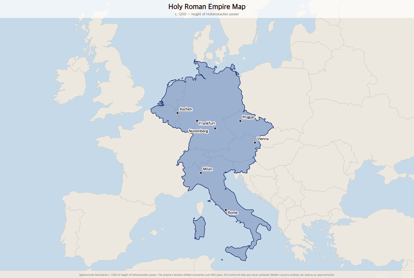
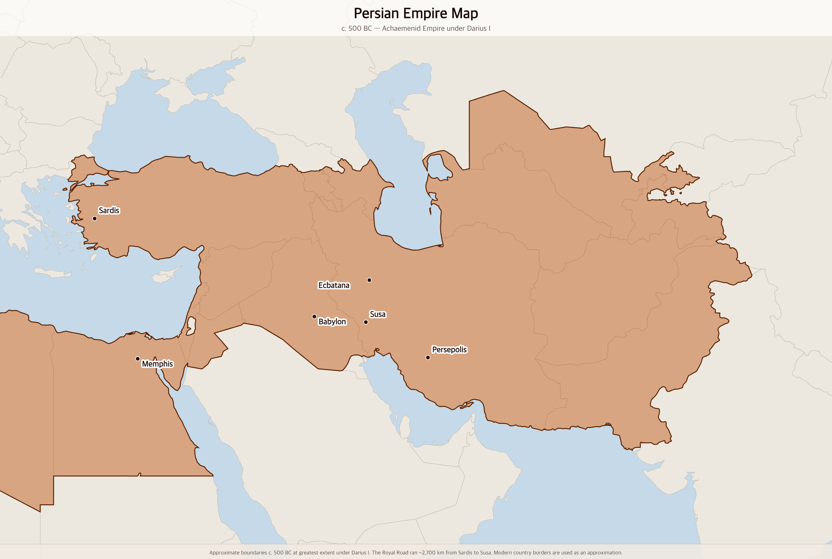
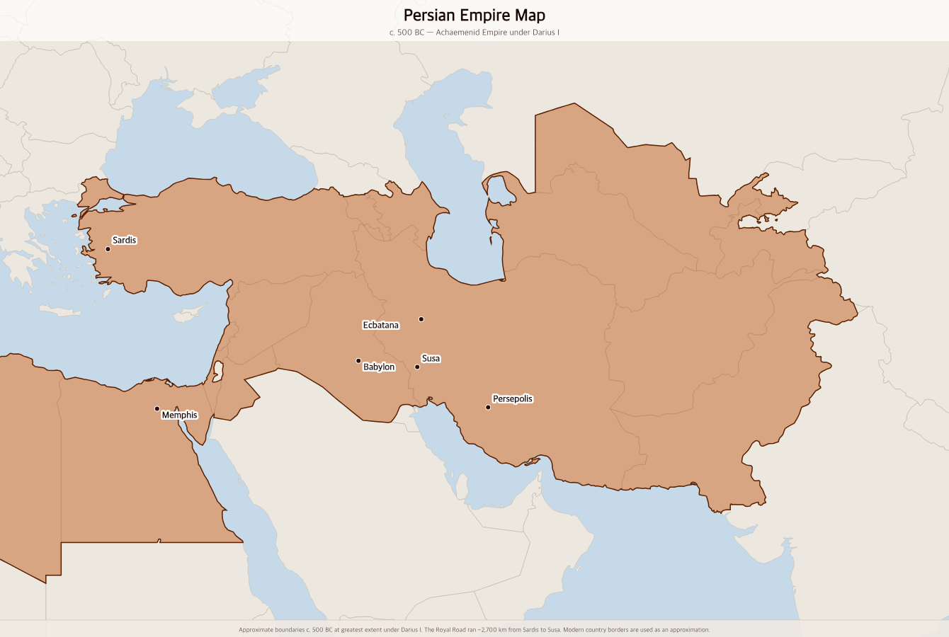
Free printable map of the Achaemenid Persian Empire at its greatest extent under Darius I around 500 BC, stretching from Greece and Egypt in the west to the borders of India in the east.
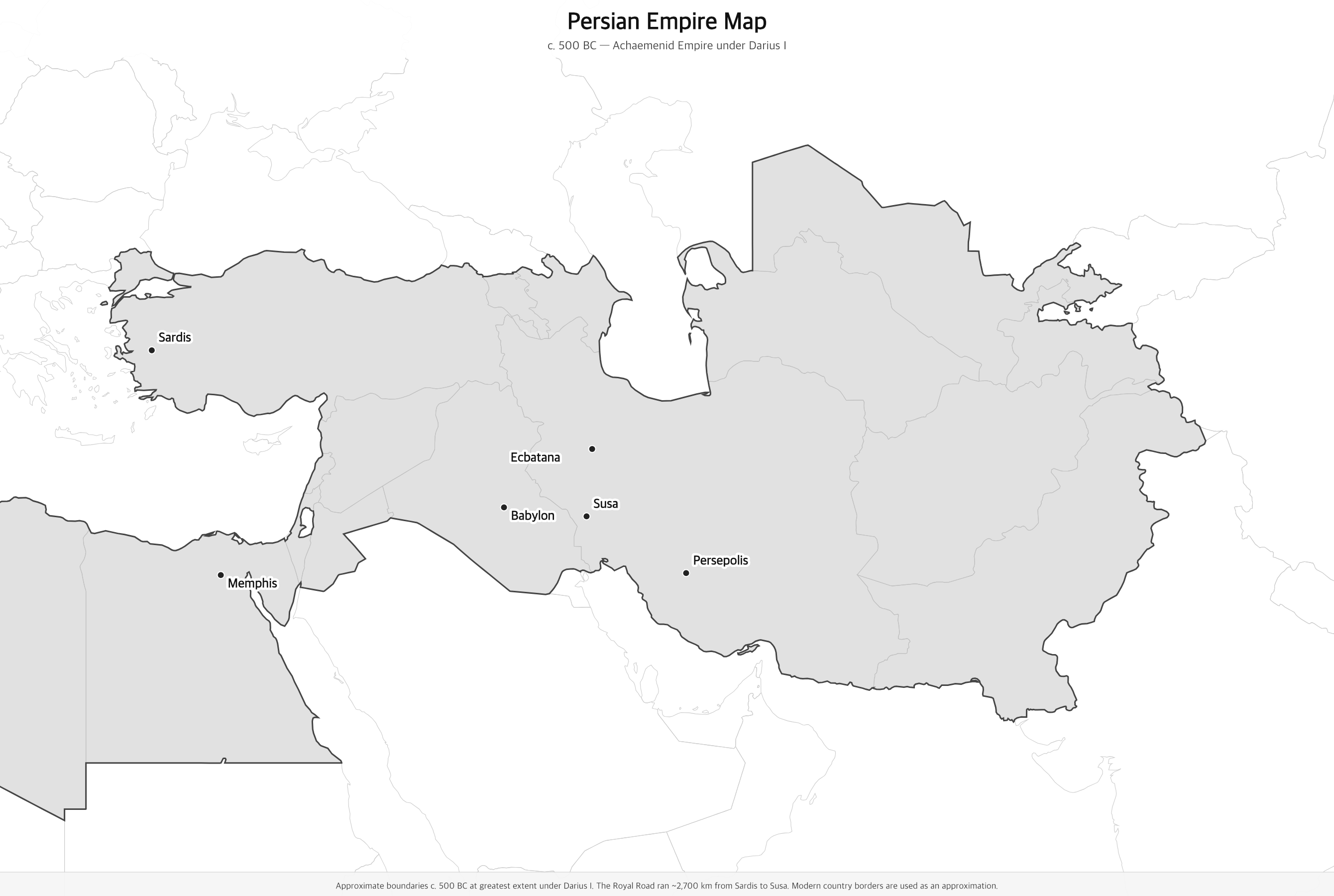
Black & white version
About This Map
Free printable map of the Achaemenid Persian Empire at its greatest extent under Darius I around 500 BC, stretching from Greece and Egypt in the west to the borders of India in the east.
The History Behind This Map
The Achaemenid Persian Empire was the largest empire the ancient world had yet seen. Founded by Cyrus the Great around 550 BC, it grew through conquest and diplomacy to cover roughly 5.5 million square kilometers — stretching from the Greek cities of Anatolia and the Nile Delta in the west to the borders of modern India in the east. What set it apart from earlier empires was not just its size but its approach: Cyrus allowed conquered peoples to keep their languages, religions, and local customs, earning him the title of liberator rather than conqueror. He freed the Jews from Babylonian captivity and helped rebuild their temple in Jerusalem.
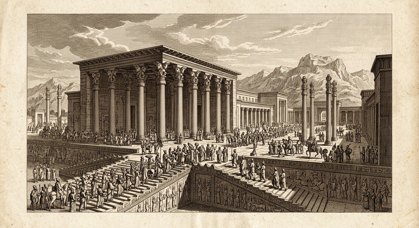
Under Darius I (522–486 BC), the empire reached its administrative and geographic peak. Darius divided the empire into 20 provinces called satrapies, each governed by a royal-appointed satrap. He built the Royal Road — nearly 2,700 kilometers of paved highway from Sardis in western Turkey to Susa in Iran — and a relay messenger system so fast it could cover the entire route in about a week. He began construction of Persepolis, the magnificent ceremonial capital whose ruins still stand in modern Iran. A standardized coinage, weights, and legal code knit the empire together across a dozen languages and cultures.
The empire's western frontier ran into trouble when it tried to punish Athens for supporting a revolt of the Greek cities of Ionia. Darius's army was defeated at Marathon in 490 BC. His son Xerxes returned with a massive invasion in 480 BC — burning Athens — but the Greek navy defeated the Persian fleet at Salamis and the army was eventually driven back. Persia never conquered Greece. The empire survived another 150 years until Alexander the Great crossed into Anatolia in 334 BC and, in just seven years, conquered the entire empire from Egypt to Afghanistan.
How to Use
Print this map on standard US Letter paper (8.5" × 11"). Click "Download PDF" for a print-ready file that automatically fits your page in landscape orientation, or "Download PNG" for the high-resolution image file. Works great for world history lessons, geography units, or display on a classroom whiteboard.
Frequently Asked Questions
What modern countries make up the ancient Persian Empire?
At its greatest extent under Darius I around 500 BC, the Persian Empire covered modern-day Iran, Iraq, Turkey, Egypt, Syria, Lebanon, Israel, Jordan, Libya (Cyrenaica), Afghanistan, Pakistan (northwestern regions), Uzbekistan, Turkmenistan, Tajikistan, Azerbaijan, and Armenia. It briefly extended into Thrace (European Turkey and Bulgaria) as well.
How did Cyrus the Great treat conquered peoples?
Cyrus adopted a policy of remarkable tolerance for his era. Rather than destroying local religions and deporting populations — as the Assyrians and Babylonians had done — Cyrus allowed conquered peoples to keep their gods, languages, and local rulers. His most famous act was freeing the Jewish people from the Babylonian captivity and helping them rebuild the Temple in Jerusalem. The Cyrus Cylinder, a clay tablet found in Babylon, records his decree of religious freedom and is sometimes called the world's first charter of human rights.
What paper size should I print this on?
This map is sized for standard US Letter paper (8.5 × 11 in.). Use the Download PDF button for a print-ready file, or the Download PNG button for a high-resolution image file.