Free Printable Holy Roman Empire Map
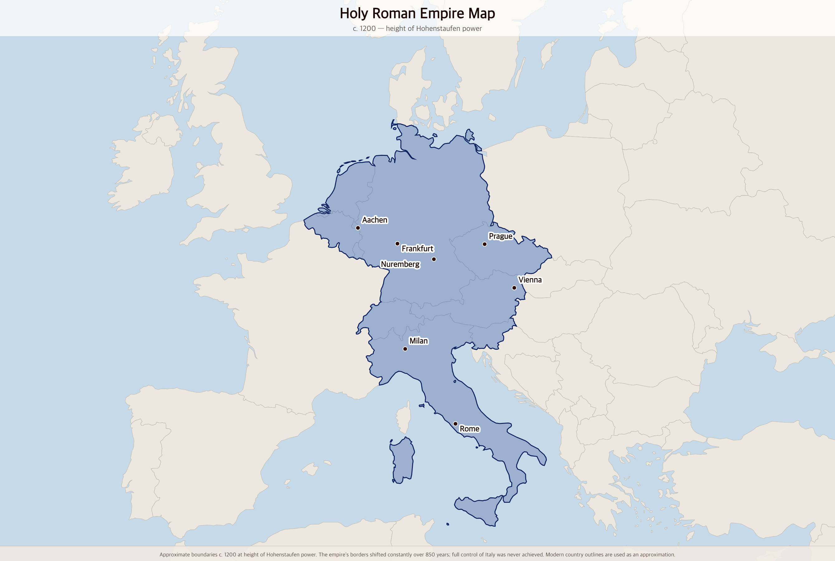
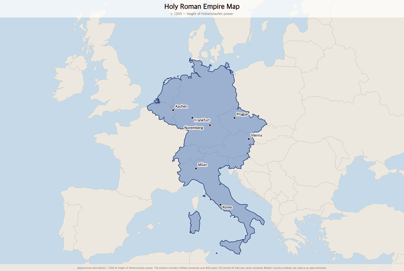
Free printable map of the Holy Roman Empire at its medieval height around 1200 AD, showing the empire's reach across central Europe — from the Low Countries and northern Italy to Bohemia and Austria.
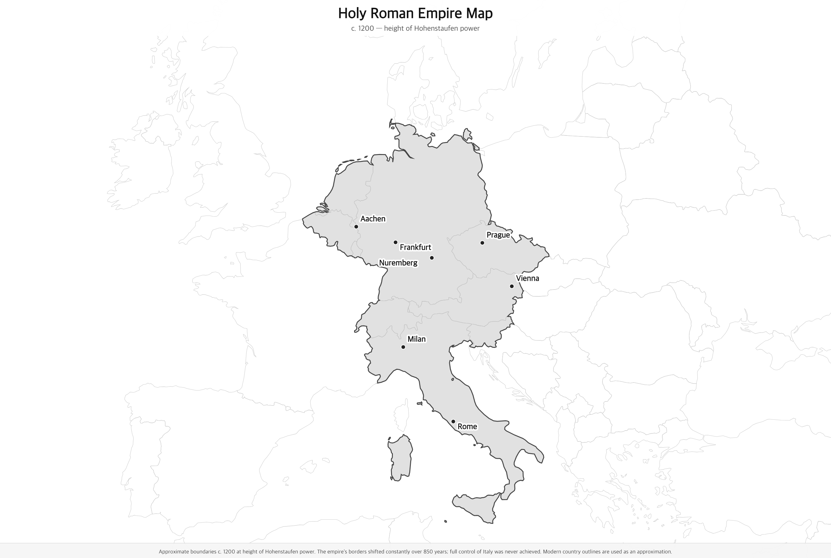
Black & white version
About This Map
Free printable map of the Holy Roman Empire at its medieval height around 1200 AD, showing the empire's reach across central Europe — from the Low Countries and northern Italy to Bohemia and Austria.
The History Behind This Map
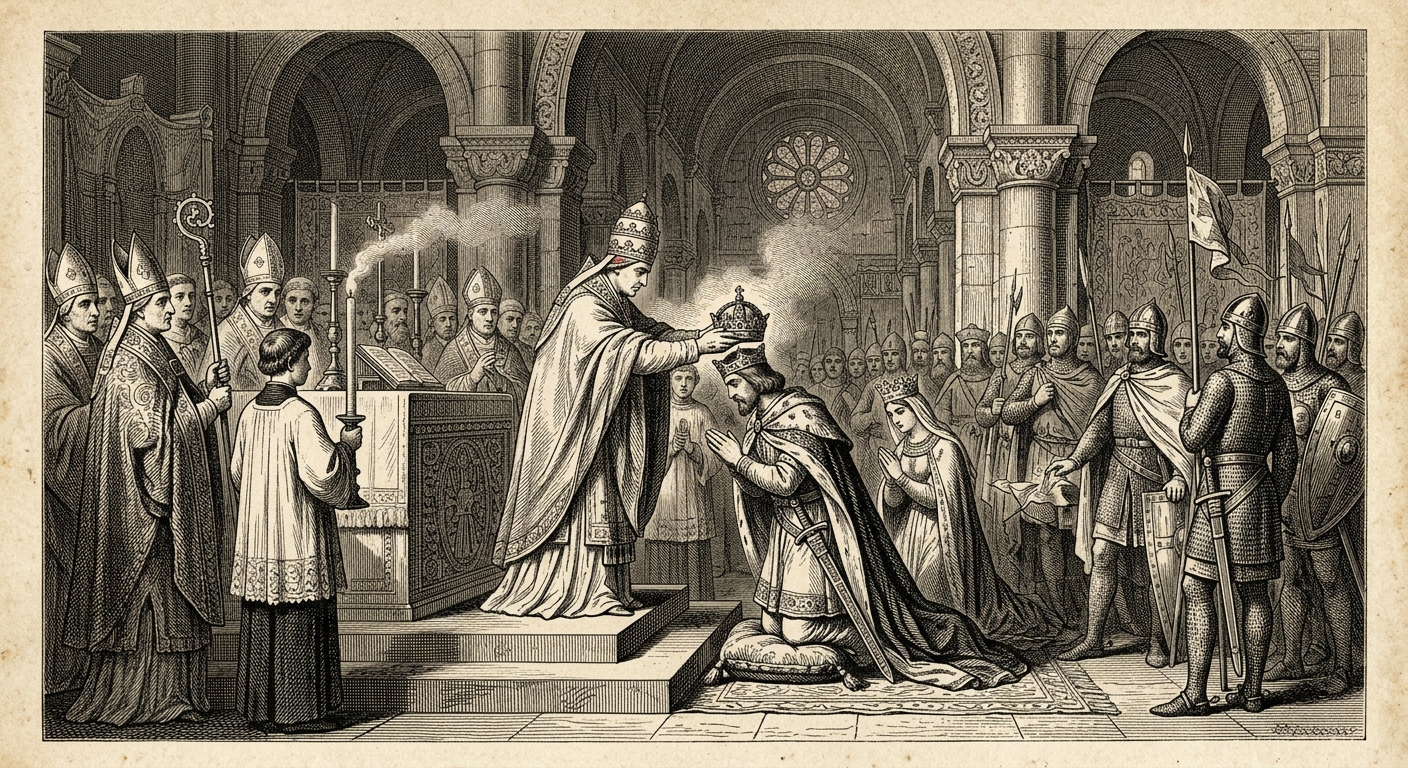
The Holy Roman Empire lasted from 962 to 1806 — nearly 850 years — making it one of the longest-lived political entities in European history. Yet Voltaire's famous quip captures its essential paradox: it was "neither holy, nor Roman, nor an empire." Founded when Pope John XII crowned the German king Otto I as emperor, it stretched at its medieval height across modern Germany, Austria, Switzerland, the Low Countries, Bohemia, and much of northern Italy. But it was never a unified state — more a loose confederation of kingdoms, duchies, free cities, and church territories, each with its own laws and ruler.
The empire's great fault line ran between emperors and popes. For two centuries the Investiture Controversy paralyzed the empire as popes and emperors fought over who could appoint bishops. The Hohenstaufen emperors — especially Frederick Barbarossa and his grandson Frederick II — came closest to establishing real imperial authority over Germany and Italy, but the Italian city-states and the papacy together blocked every attempt. The Golden Bull of 1356 cemented the power of the seven prince-electors who chose each emperor, making the office effectively elective rather than hereditary (until the Habsburgs managed to hold it continuously after 1438).
The Thirty Years' War (1618–1648) reduced much of central Europe to ruin and permanently broke imperial authority. The Peace of Westphalia granted the princes full sovereignty, turning the emperor into a figurehead. When Napoleon swept through Germany in 1806 and forced Emperor Francis II to abdicate the title, few mourned the empire's end. Its legacy, however, was enormous: the patchwork of German territories it left behind eventually unified into modern Germany in 1871, while Austria became its own empire and later republic.
How to Use
Print this map on standard US Letter paper (8.5" × 11"). Click "Download PDF" for a print-ready file that automatically fits your page in landscape orientation, or "Download PNG" for the high-resolution image file. Works great for world history lessons, geography units, or display on a classroom whiteboard.
Frequently Asked Questions
Was the Holy Roman Empire actually German?
Yes — the empire was centered on German-speaking lands and its emperors were German kings, though it also included Italian territories, Bohemia (Czech lands), and the Low Countries. It is sometimes called the "Holy Roman Empire of the German Nation," a title that became official in the 15th century. The emperor was elected by German princes, and the empire's political life centered on German cities like Aachen, Frankfurt, and Nuremberg.
Why does the map show Italy as part of the Holy Roman Empire?
Northern and central Italy were formally imperial territory throughout much of the empire's history. German emperors frequently fought to enforce their authority over the wealthy Italian city-states — Frederick Barbarossa led six campaigns into Italy. In practice, however, Italian cities were largely self-governing; the emperor's Italian authority was contested by popes, city-states, and local nobles. The map shows the formal claim, not necessarily effective control.
What paper size should I print this on?
This map is sized for standard US Letter paper (8.5 × 11 in.). Use the Download PDF button for a print-ready file, or the Download PNG button for a high-resolution image file.