Free Printable Aztec Empire Map
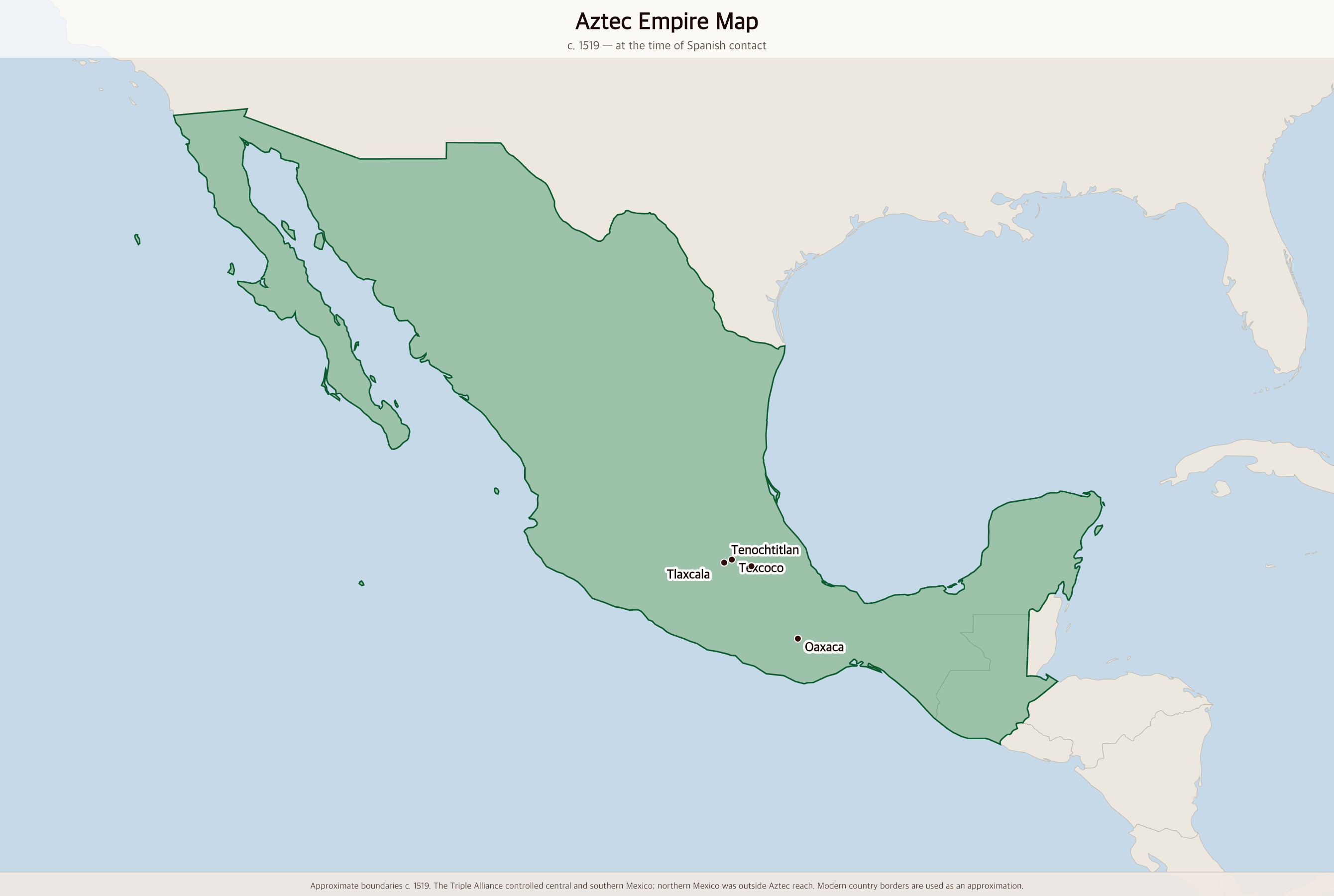
Free printable map of the Aztec Empire (Triple Alliance) at its height around 1519, covering central and southern Mexico from the Gulf Coast to the Pacific.
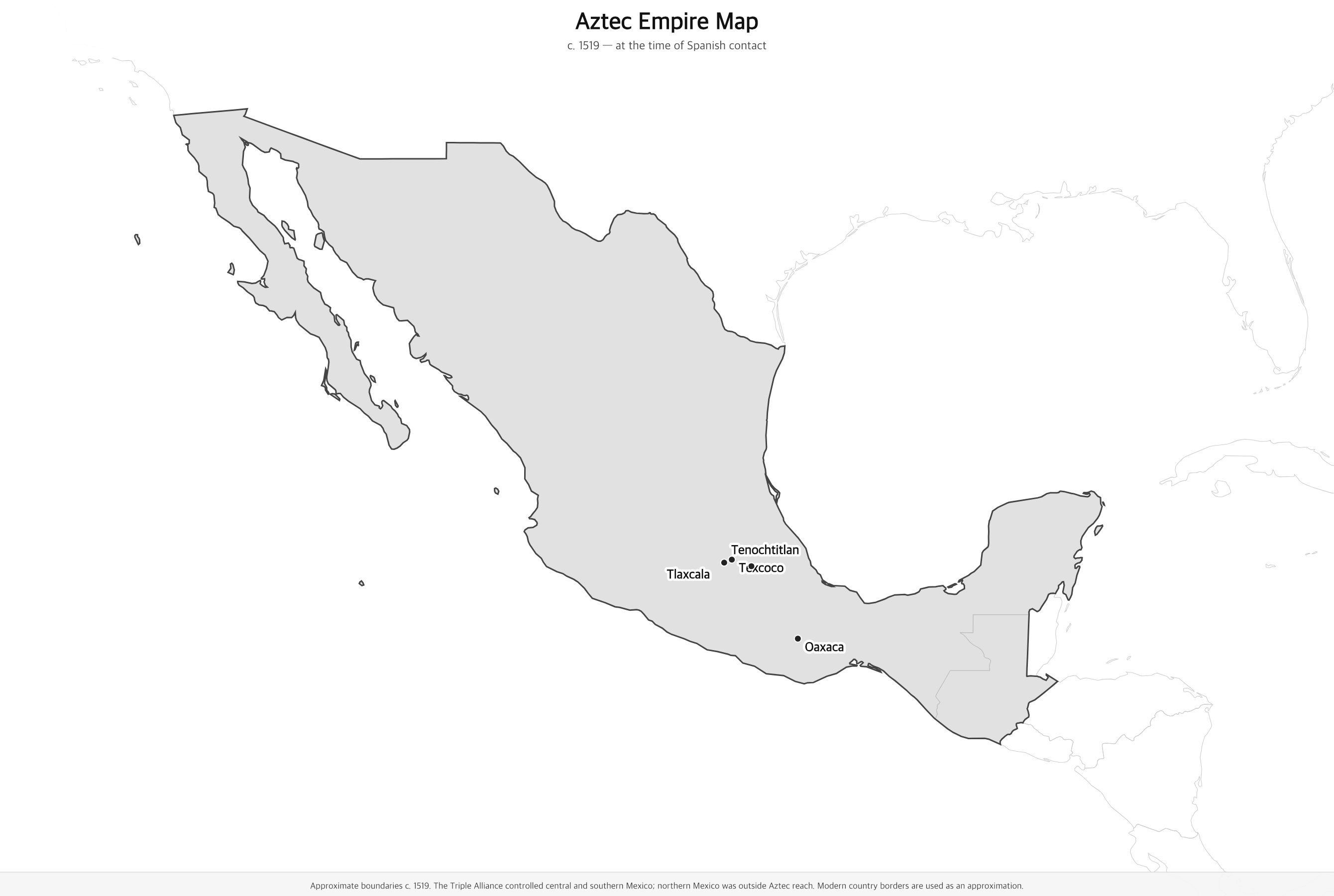
Black & white version
About This Map
Free printable map of the Aztec Empire (Triple Alliance) at its height around 1519, covering central and southern Mexico from the Gulf Coast to the Pacific.
The History Behind This Map
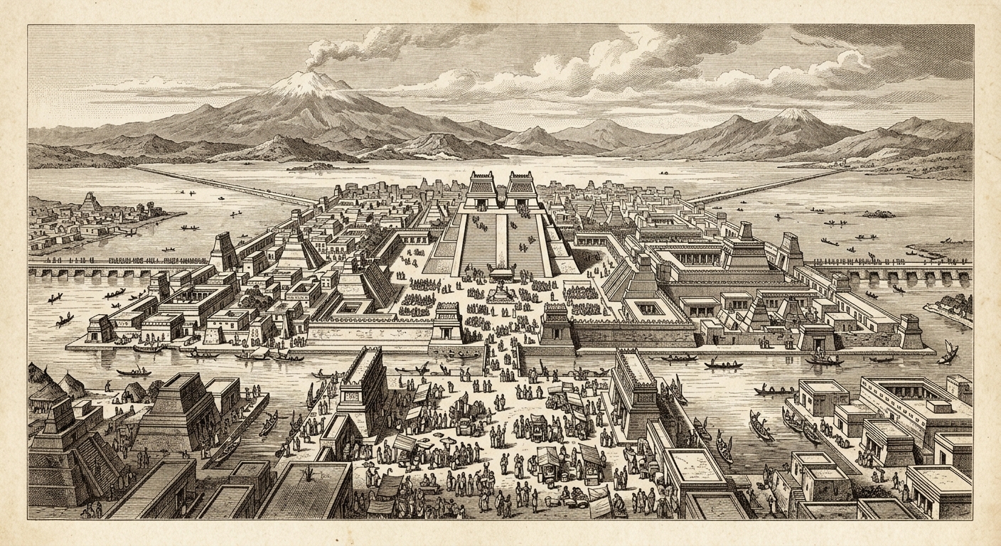
The Aztec Empire — formally the Triple Alliance of Tenochtitlan, Texcoco, and Tlacopan — was the dominant power in Mesoamerica from 1428 until the Spanish conquest in 1521. Built on an island in Lake Texcoco (at the site of modern Mexico City), Tenochtitlan grew into one of the largest cities in the world, with an estimated population of 200,000–300,000. At its peak under Emperor Moctezuma II, the empire collected tribute from hundreds of city-states across central and southern Mexico.
The Aztecs were master engineers, astronomers, and traders. Their capital featured massive pyramids, a complex canal system, floating gardens called chinampas, and a great market at Tlatelolco that astonished the Spanish soldiers who witnessed it. The empire functioned through tribute — conquered peoples were required to send goods, labor, and sacrificial victims to Tenochtitlan, while local rulers were largely left in place.
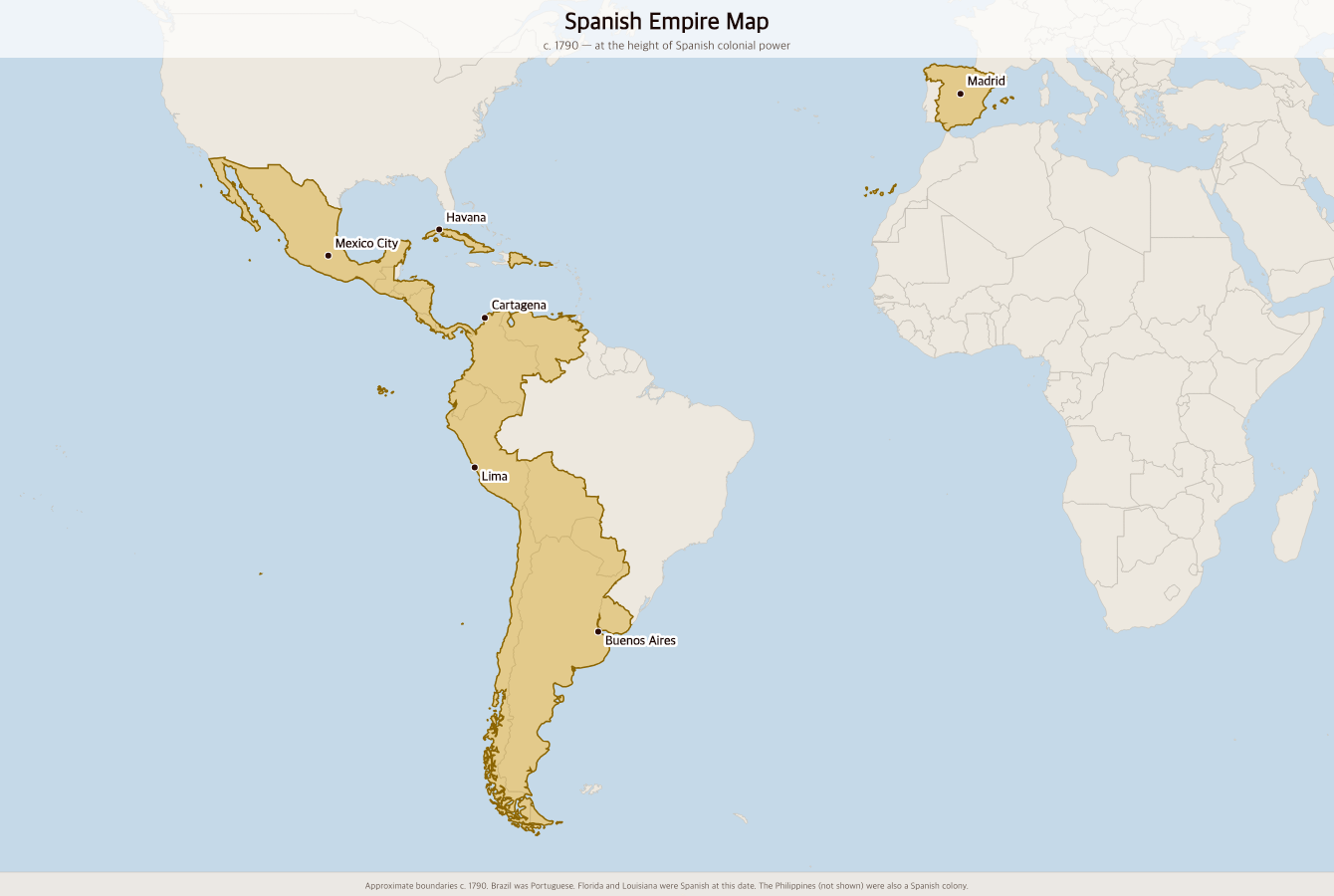
In 1519, Hernán Cortés landed on the Gulf Coast with a small army and formed alliances with peoples who resented Aztec domination — most importantly the Tlaxcalans. By August 1521, after a brutal siege, Tenochtitlan fell. The last emperor, Cuauhtémoc, was captured and the city was destroyed. The Spanish built Mexico City on its ruins, and the Aztec civilization was largely dismantled within a generation.
How to Use
Print this map on standard US Letter paper (8.5" × 11"). Click "Download PDF" for a print-ready file that automatically fits your page in landscape orientation, or "Download PNG" for the high-resolution image file. Works great for world history lessons, geography units, or display on a classroom whiteboard.
Frequently Asked Questions
What was the Aztec Empire actually called?
The Aztecs called their state the Triple Alliance (Ēxcān Tlahtōlōyān) — an alliance of three city-states: Tenochtitlan, Texcoco, and Tlacopan. The word "Aztec" was popularized by 19th-century historians; the people called themselves Mexica, which is where the name "Mexico" comes from.
How big was the Aztec Empire?
At its peak around 1519, the Aztec Empire controlled roughly 200,000 square kilometers of central and southern Mexico and collected tribute from an estimated 5–6 million people across hundreds of city-states. Tenochtitlan itself had a population of 200,000–300,000, making it one of the largest cities in the world at the time.
Why did the Aztec Empire fall so quickly?
The Spanish conquest succeeded partly through military technology (steel, horses, firearms) but largely through alliance-building. Many peoples under Aztec domination — especially the Tlaxcalans — joined Cortés to overthrow their oppressors. Smallpox and other European diseases also devastated the population, killing an estimated half of Tenochtitlan's inhabitants during the 1520–1521 siege.
What happened to Tenochtitlan?
After the Spanish conquest in 1521, Tenochtitlan was systematically demolished and Mexico City was built on its ruins. Lake Texcoco was gradually drained over the following centuries. Today, the ruins of the Aztec Great Temple (Templo Mayor) lie beneath the historic center of Mexico City and can be visited at the Templo Mayor Museum.