Free Printable Inca Empire Map
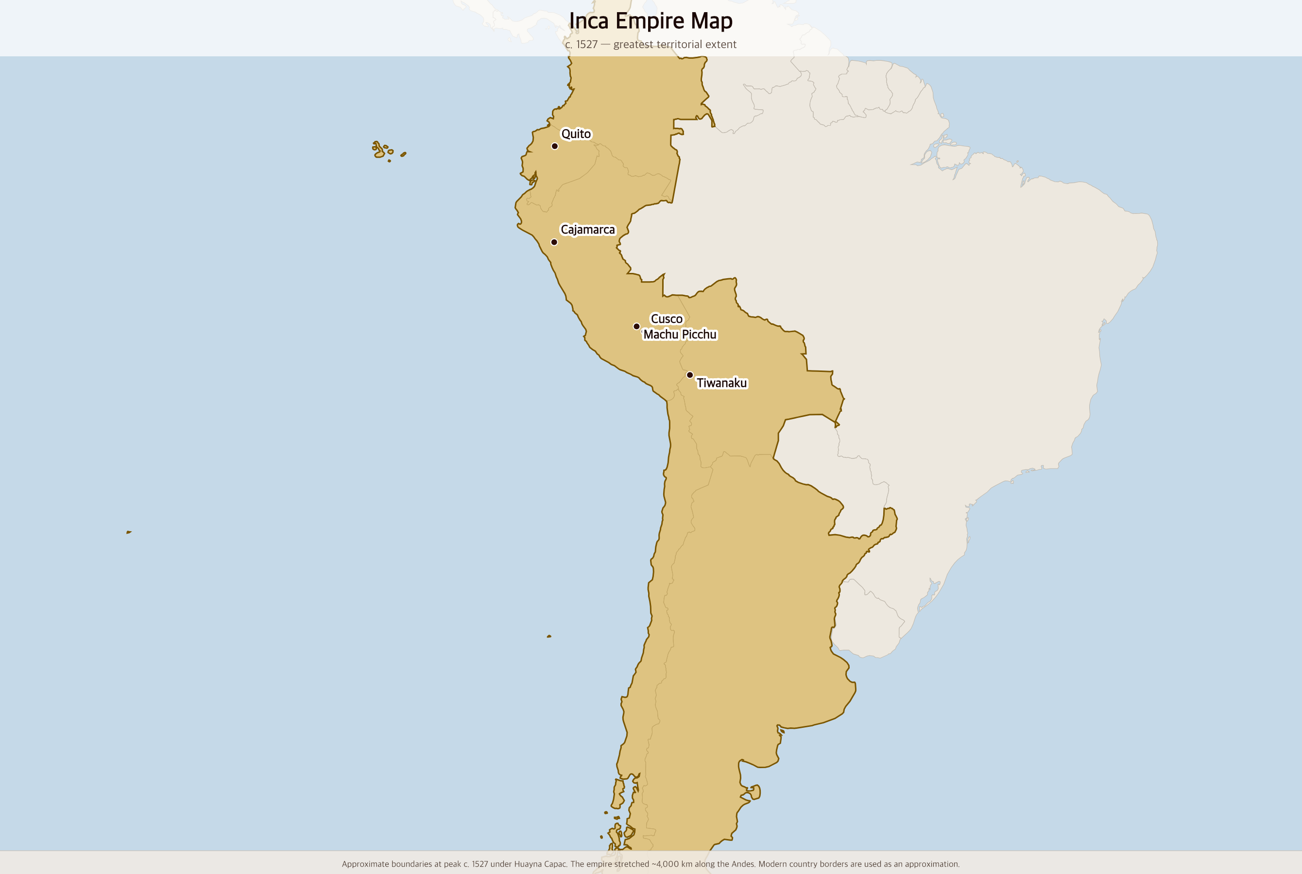
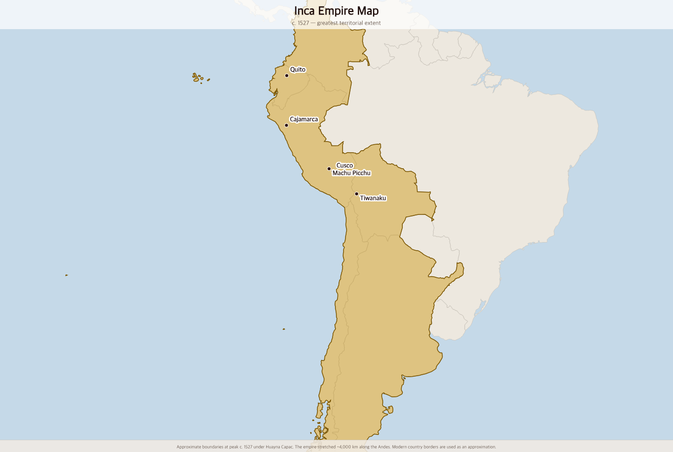
Free printable map of the Inca Empire (Tawantinsuyu) at its greatest extent around 1527, stretching 4,000 kilometers along the Andes from modern Colombia to central Chile.
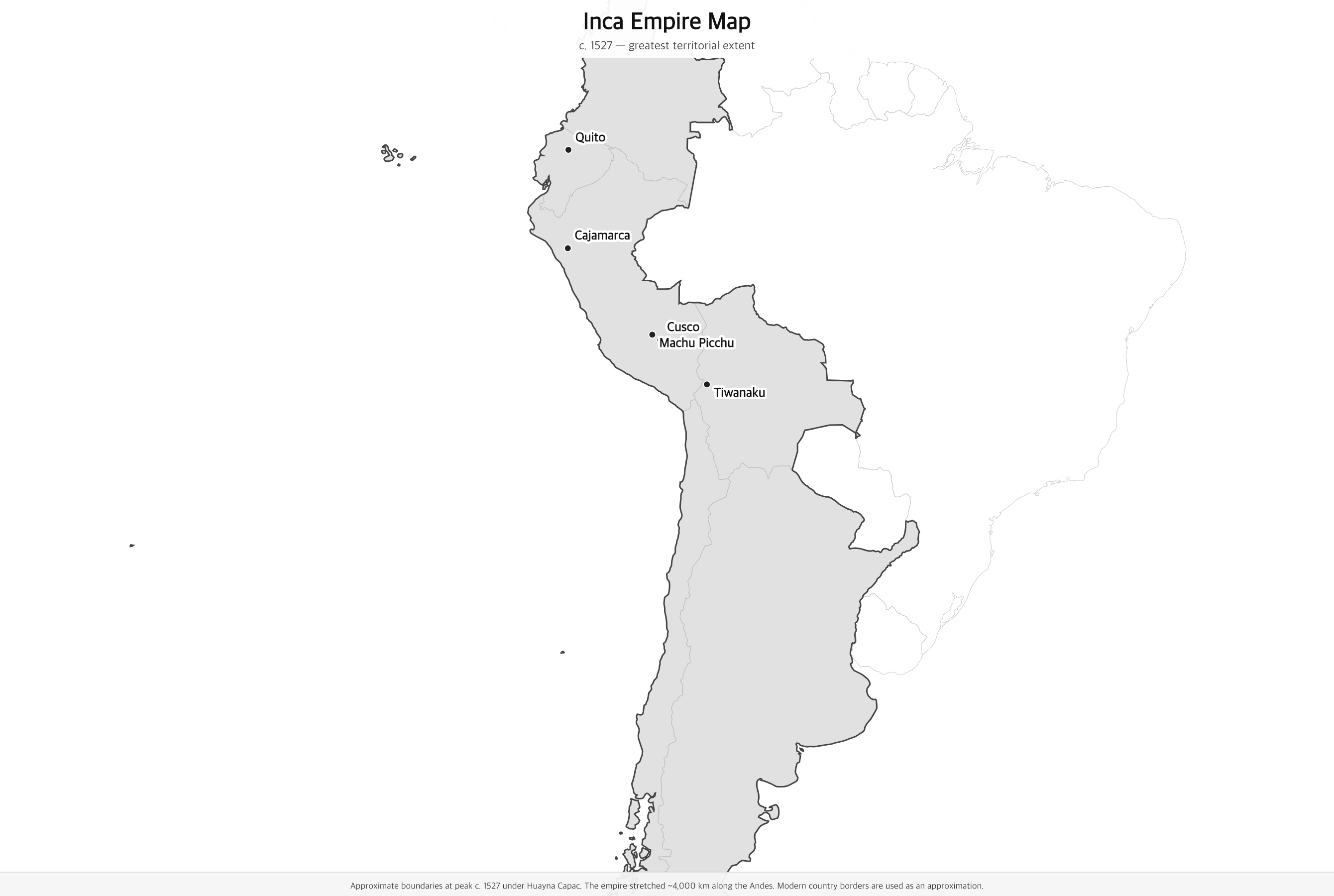
Black & white version
About This Map
Free printable map of the Inca Empire (Tawantinsuyu) at its greatest extent around 1527, stretching 4,000 kilometers along the Andes from modern Colombia to central Chile.
The History Behind This Map
The Inca Empire — Tawantinsuyu, "the Four Quarters" — was the largest empire in pre-Columbian America and the largest in the world by area at its peak. Founded around 1438 under the emperor Pachacuti, it expanded rapidly along the Andes Mountains from its capital at Cusco in modern Peru. By 1527, under Huayna Capac, it stretched nearly 4,000 kilometers from southern Colombia to central Chile, encompassing desert, jungle, and some of the highest mountains on Earth.
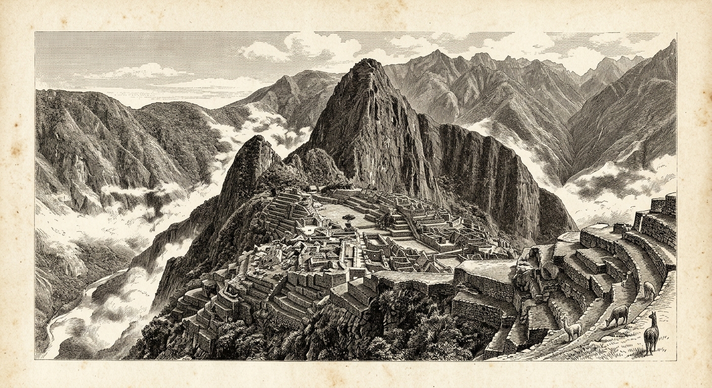
The Inca achieved their empire without a writing system or wheeled vehicles, relying instead on a vast network of roads — over 40,000 kilometers of paved highway — a relay messenger system (chasquis), and a record-keeping system using knotted strings called quipus. They were extraordinary engineers, building terraced agriculture on Andean slopes, sophisticated irrigation systems, and mountain citadels like Machu Picchu that still stand today.
In 1532, Francisco Pizarro arrived with 168 soldiers and captured the Inca emperor Atahualpa at Cajamarca through treachery. Atahualpa paid an enormous ransom — a room full of gold and two rooms of silver — but was executed anyway. The empire fragmented into civil war and colonial rule. Smallpox, introduced by European contact before Pizarro even arrived, had already killed Huayna Capac and triggered the succession crisis Pizarro exploited. Inca resistance continued until 1572.
How to Use
Print this map on standard US Letter paper (8.5" × 11"). Click "Download PDF" for a print-ready file that automatically fits your page in landscape orientation, or "Download PNG" for the high-resolution image file. Works great for world history lessons, geography units, or display on a classroom whiteboard.
Frequently Asked Questions
How big was the Inca Empire?
At its greatest extent around 1527, the Inca Empire covered approximately 2 million square kilometers and governed an estimated 10–12 million people. It stretched nearly 4,000 kilometers from southern Colombia to central Chile — roughly the distance from New York to Los Angeles, but along the spine of the Andes Mountains.
What does Tawantinsuyu mean?
Tawantinsuyu means "Four Quarters" in Quechua, the Inca language. The empire was divided into four administrative regions (suyus) meeting at Cusco: Chinchaysuyu (north), Antisuyu (east — the Amazon jungle), Collasuyu (south), and Cuntisuyu (west). Cusco, the capital, sat at the center of this cross.
How did the Inca build such a large empire without writing or wheels?
The Inca used a system of knotted strings called quipus to record information, a 40,000-kilometer road network to move armies and goods, and relay runners (chasquis) who could carry messages at 240 kilometers per day. Llamas served as pack animals. Their administrative system required conquered peoples to provide labor (mit'a) rather than tribute, building roads, temples, and cities throughout the empire.
Why did the Inca Empire fall?
The Inca Empire collapsed due to a combination of factors: a devastating smallpox epidemic (arriving from European contact in the Caribbean before Pizarro) killed Emperor Huayna Capac and triggered a civil war between his sons Huáscar and Atahualpa. Pizarro arrived at the moment of Inca weakness, captured Atahualpa, and used Spanish steel, horses, firearms, and indigenous alliances to dismantle the remaining empire.