Free Printable Spanish Empire Map
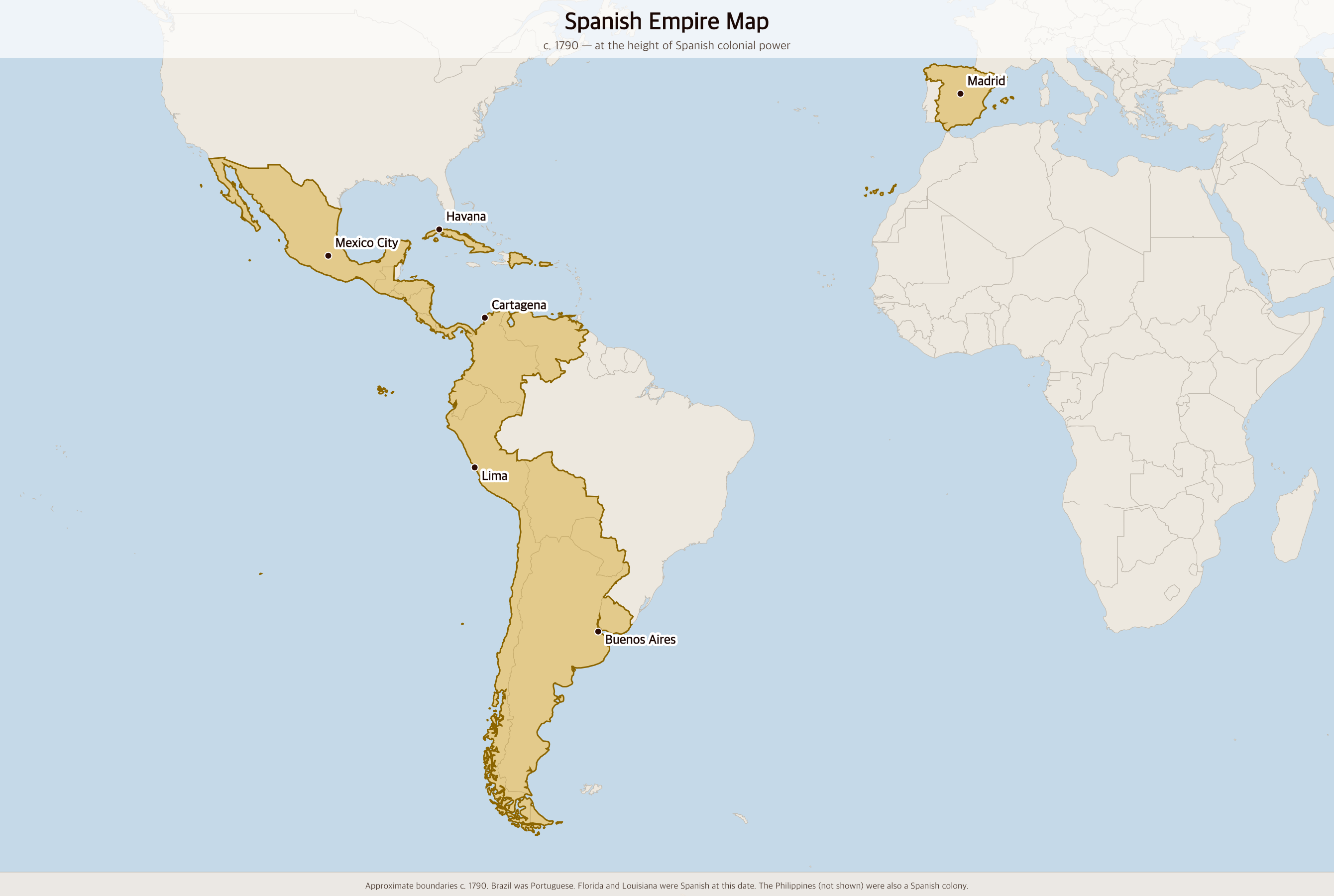
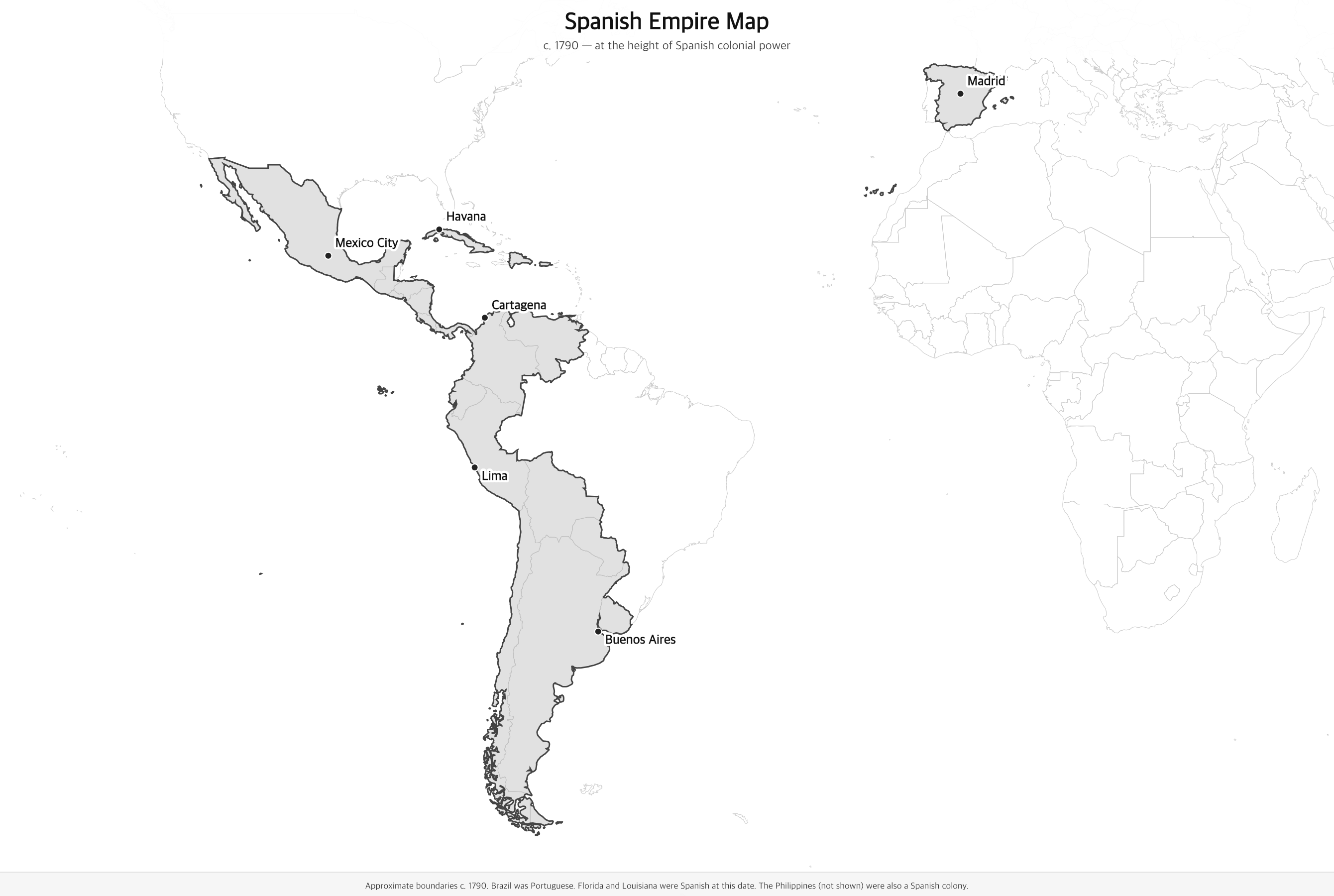
Free printable map of the Spanish Empire at its colonial peak around 1790, showing Spanish territory across the Americas — from California and Florida to the tip of South America — plus Cuba, Puerto Rico, and Spain itself.
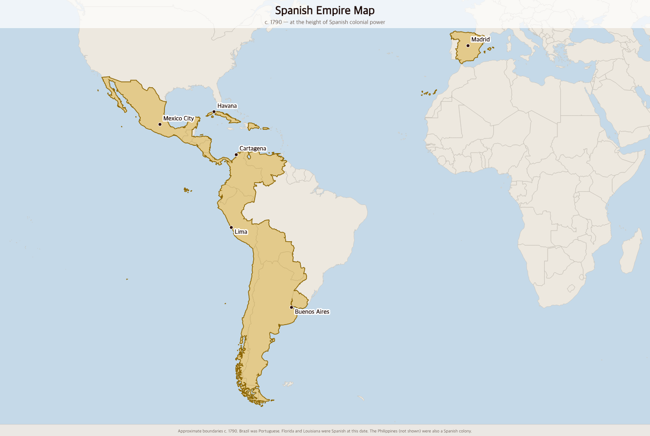
Black & white version
About This Map
Free printable map of the Spanish Empire at its colonial peak around 1790, showing Spanish territory across the Americas — from California and Florida to the tip of South America — plus Cuba, Puerto Rico, and Spain itself.
The History Behind This Map
The Spanish Empire was one of the largest empires in history, spanning the Americas, the Philippines, and parts of Africa and Europe. It began with Columbus's 1492 voyage and the subsequent conquest of the Caribbean, Mexico (1521), and Peru (1532). At its height in the late 18th century, Spain claimed territory from California to Patagonia — roughly the western two-thirds of the Americas.
Silver from the mines of Peru and Mexico (particularly the massive Potosí mine in modern Bolivia) made Spain the wealthiest nation in 16th-century Europe. This wealth funded the Spanish Armada, the Counter-Reformation, and wars across Europe. Spanish missionaries, soldiers, and settlers established hundreds of cities from San Francisco to Buenos Aires — many still carrying their Spanish names.
The empire was organized into four great viceroyalties: New Spain (Mexico and Central America), New Granada (Colombia, Venezuela, Ecuador, Panama), Peru (Peru and Bolivia), and the Río de la Plata (Argentina, Uruguay, Paraguay). Cuba and Puerto Rico served as key Caribbean hubs. Between 1808 and 1826, most of Spanish America won independence in a wave of revolutions inspired by the American and French revolutions.
How to Use
Print this map on standard US Letter paper (8.5" × 11"). Click "Download PDF" for a print-ready file that automatically fits your page in landscape orientation, or "Download PNG" for the high-resolution image file. Works great for world history lessons, geography units, or display on a classroom whiteboard.
Frequently Asked Questions
How big was the Spanish Empire?
At its peak in the early 19th century, the Spanish Empire covered about 13 million square kilometers — making it one of the largest empires in history by land area. It included most of the Americas west of the Mississippi, the Caribbean, the Philippines, and parts of North Africa and Europe.
Which modern countries were part of the Spanish Empire?
The Spanish colonial empire included modern-day Mexico, Guatemala, Honduras, El Salvador, Nicaragua, Costa Rica, Panama, Colombia, Venezuela, Ecuador, Peru, Bolivia, Chile, Argentina, Paraguay, Uruguay, Cuba, Puerto Rico, the Dominican Republic, and the Philippines. Parts of the modern United States (Florida, Louisiana, Texas, California, and the Southwest) were also Spanish territory.
When did Spain lose its American colonies?
Most of Spanish America won independence between 1808 and 1826, following revolutions inspired by the American and French revolutions and the chaos caused by Napoleon's invasion of Spain. Mexico declared independence in 1821; most of South America was liberated by Simón Bolívar and José de San Martín by 1824. Cuba and Puerto Rico remained Spanish until 1898.
Why doesn't the map show Brazil?
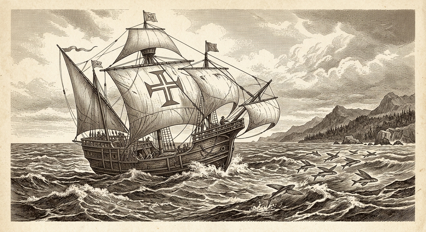
Brazil was colonized by Portugal, not Spain. Under the 1494 Treaty of Tordesillas, Spain and Portugal divided the non-European world along a line in the Atlantic — lands to the west went to Spain, lands to the east (including Brazil) went to Portugal. Brazil remained a Portuguese colony until 1822.