Free Printable Mongol Empire Map
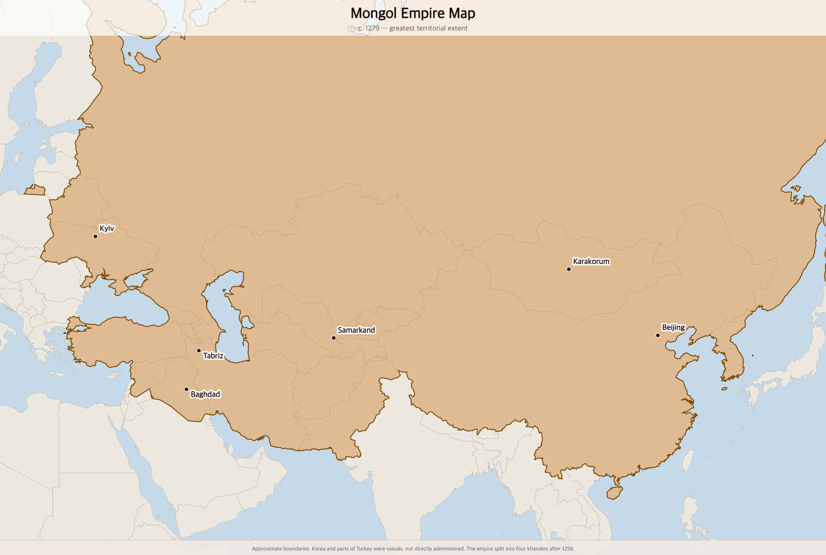
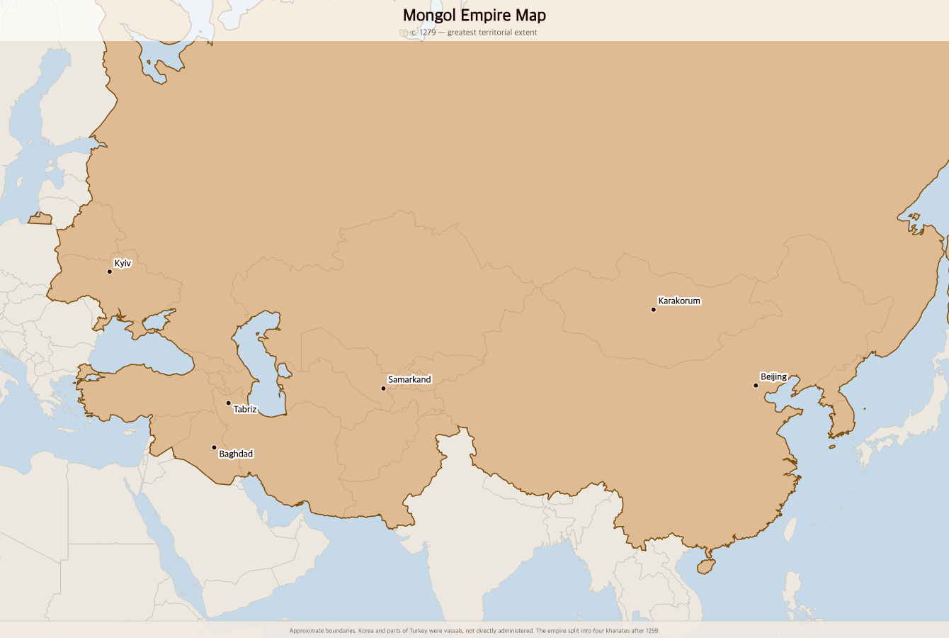
Free printable map of the Mongol Empire at its greatest extent under Kublai Khan in 1279 — the largest contiguous land empire in history, stretching from Eastern Europe to the Pacific Ocean.
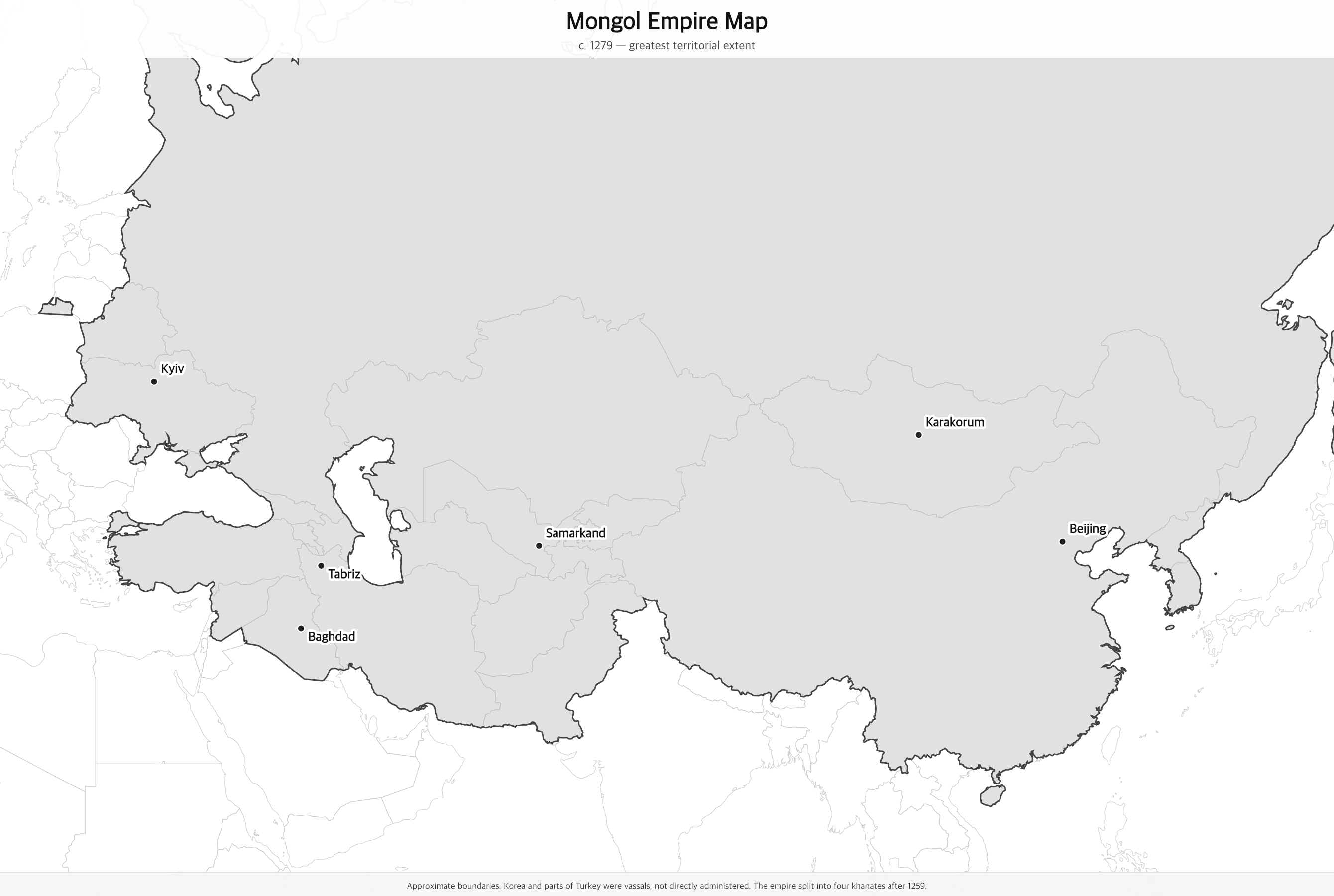
Black & white version
About This Map
Free printable map of the Mongol Empire at its greatest extent under Kublai Khan in 1279 — the largest contiguous land empire in history, stretching from Eastern Europe to the Pacific Ocean.
The History Behind This Map
The Mongol Empire was founded by Genghis Khan in 1206 and became the largest contiguous land empire in history. At its peak under his grandson Kublai Khan in 1279, it stretched from the Korean peninsula and the Pacific coast of China westward across Central Asia, Persia, and Russia to the doorstep of Central Europe — covering roughly 24 million square kilometers.
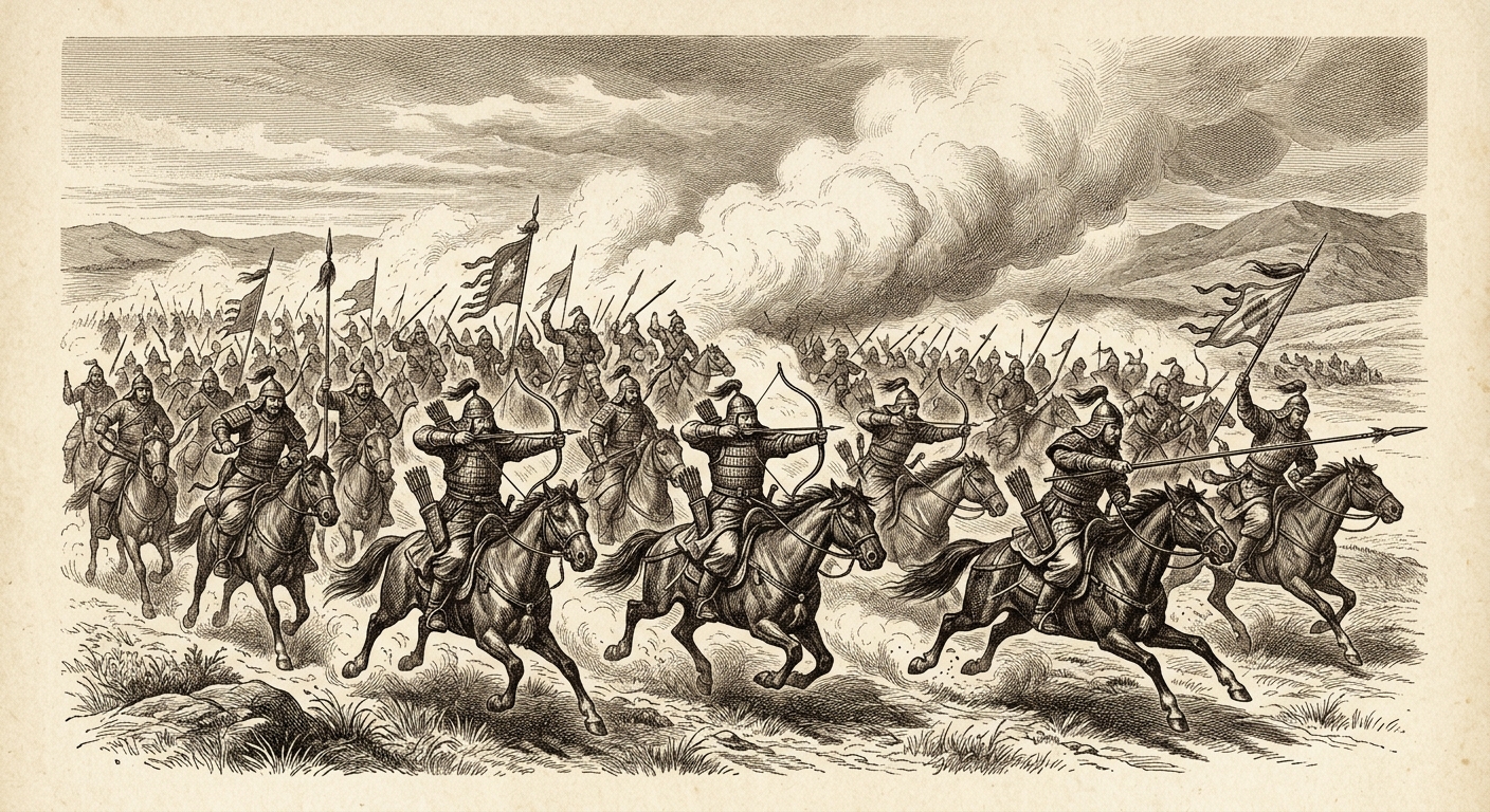
The Mongols conquered through brilliant cavalry tactics, strategic terror, and skilled administration. Cities that surrendered were spared; those that resisted were often destroyed. Baghdad, the intellectual capital of the Islamic world, was sacked in 1258. Kyiv was burned in 1240. Yet the Mongols also maintained religious tolerance and safe passage across their vast territory, enabling the unprecedented Silk Road trade of the Pax Mongolica.
The empire's peak also marked the beginning of its fragmentation. After Kublai Khan, it split into four successor khanates: the Yuan dynasty in China, the Ilkhanate in Persia and Iraq, the Chagatai Khanate in Central Asia, and the Golden Horde in Russia and Eastern Europe. Each gradually absorbed into local cultures. The Yuan dynasty fell to the Ming in 1368; the last successor states dissolved by the early 1500s.
How to Use
Print this map on standard US Letter paper (8.5" × 11"). Click "Download PDF" for a print-ready file that automatically fits your page in landscape orientation, or "Download PNG" for the high-resolution image file. Works great for world history lessons, geography units, or display on a classroom whiteboard.
Frequently Asked Questions
How big was the Mongol Empire at its peak?
At its greatest extent in 1279, the Mongol Empire covered approximately 24 million square kilometers (9.3 million square miles) — about 16% of Earth's total land area. It is the largest contiguous land empire in recorded history.
Who founded the Mongol Empire?
Genghis Khan (born Temüjin, c. 1162–1227) united the Mongol tribes in 1206 and launched the initial conquests of northern China, Central Asia, and Persia. His sons and grandsons — including Ögedei, Möngke, and Kublai Khan — continued the expansion after his death.
Which modern countries were part of the Mongol Empire?
The Mongol Empire covered modern-day Mongolia, China, Russia, Kazakhstan, Uzbekistan, Turkmenistan, Kyrgyzstan, Tajikistan, Afghanistan, Iran, Iraq, Azerbaijan, Georgia, Armenia, Ukraine, Belarus, and large parts of Turkey and Syria. Korea (Goryeo) was a vassal state.
Why did the Mongol Empire fall?
The empire began fragmenting after 1259 due to succession disputes among Genghis Khan's descendants. The four successor khanates gradually became independent and were absorbed by local powers — the Yuan dynasty fell to the Ming in 1368, the Ilkhanate dissolved in the 1330s, and the Golden Horde broke apart by the 1400s.