 Printable Scholar
Ancient China Map
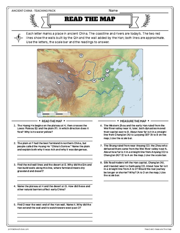
A free printable map of ancient China drawn on real terrain, with the Yellow and Yangtze rivers, the capitals of the Shang, Zhou, Qin and Han, and the line of the early Great Wall. It comes labeled and blank.

Choose your version
Black and white, color or blank.
All three are free PDFs sized for US Letter paper.

Black and white
Everything named on a plain outline map with no terrain. No color ink needed.
downloadBlack and white PDF
Color
Cities, regions, rivers and seas named.
downloadColor PDF
Blank
The black-and-white map with its routes and markers but no names, for labeling practice.
downloadBlank PDF
Teaching pack · Grades 5–7
Teaching Ancient China? The whole unit, ready to teach.
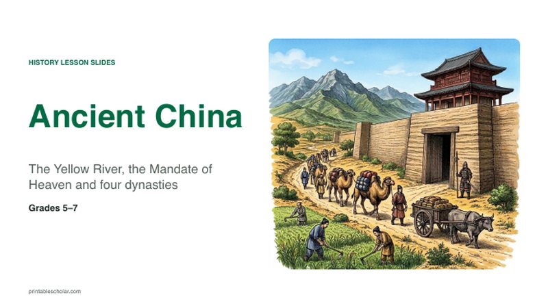
Two weeks of lessons in one download: slides to present, notes for students to fill in, and printable pages that use these maps and pictures.
- 31 lesson slides (PowerPoint you can edit, teacher notes on every slide) and 2 pages of guided notes
- 4 illustrated reading pages and a GRAPES organizer
- Maps: labeled, blank, Read and Measure the Map, and a "Where would you put your capital?" decision with the reveal
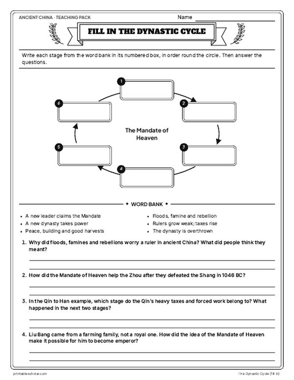
- Activities: picture studies of the Terracotta Army workshops and the building of the Qin wall, the dynastic cycle (labeled and fill-in), who was who, oracle bones to Chinese characters, the Analects of Confucius, Confucianism, Daoism and Legalism compared, and a timeline sort
- A 15-question quiz, a teacher guide with a two-week plan, and answer keys for everything
Every answer is in the pack. The readings, slides, maps and pictures teach everything the sheets and quiz ask, so no textbook is needed.
Get the Ancient China pack for $7Teaching more than one? Get all six ancient civilizations (Egypt, Mesopotamia, Greece, Rome, China and India) for $29: about twelve weeks of lessons.
Get all 6 packs for $29One-time purchase. Instant download. Color and ink-saving black-and-white editions. Secure checkout by Stripe.
The geography of ancient China
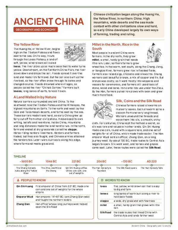
Chinese civilization began along the Huang He, or Yellow River, which carries so much fine yellow soil from the Loess Plateau that it colors the water. The river’s floods spread that soil over the North China Plain and made it rich farmland, but they also drowned villages, so the river was called both a gift and China’s Sorrow. The later Shang kings ruled from Anyang, the Zhou from the Wei River valley and later Luoyang, and the Qin and Han from the same valley, at Xianyang and then Chang’an. Farther south, the Chang Jiang, or Yangtze River, watered rice fields. China was walled in by nature: the Tibetan Plateau and high mountains to the west, the Gobi Desert to the north, and the sea to the east. The Great Wall was built along the northern edge of the farmland to keep out horse-riding peoples such as the Xiongnu.
On the map
- Anyang: the last capital of the Shang
- Chang’an (Xi’an): capital of the Western Han, near the old Qin capital Xianyang and the Terracotta Army
- Luoyang: capital of the Eastern Zhou and Eastern Han
- Qufu: hometown of Confucius
- Linzi and Ying: capitals of Qi and of Chu (Chu’s until 278 BC)
- Dunhuang: the western gate on the road to Central Asia
Find it on the map
- The great bend of the Yellow River around the Loess Plateau
- The Great Wall along the edge of the northern grasslands
- The Tibetan Plateau and the Gobi Desert that walled China in
Coastlines and rivers are shown as they are today. The lines of the Great Wall are approximate: the Qin and Han walls were mostly rammed earth, and little of them survives. The stone wall tourists visit today was built much later, mostly under the Ming.