Printable Scholar
Westward Expansion Map
Free printable US territorial expansion map showing how the United States grew from 1783 to 1853: the original territory, Louisiana Purchase, Red River Basin, Florida, Texas, Oregon Country, the Mexican Cession and the Gadsden Purchase.

Choose your version
Black and white, color or blank.
All three are free PDFs sized for US Letter paper.

Black and white
Everything named, with gray shading and dots in place of the colors. No color ink needed.
downloadBlack and white PDF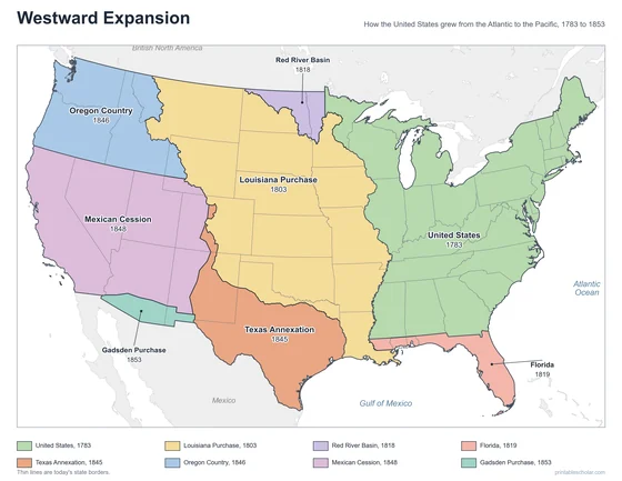
Color
Everything named, in color.
downloadColor PDF
Blank
Outlines only, for students to label.
downloadBlank PDF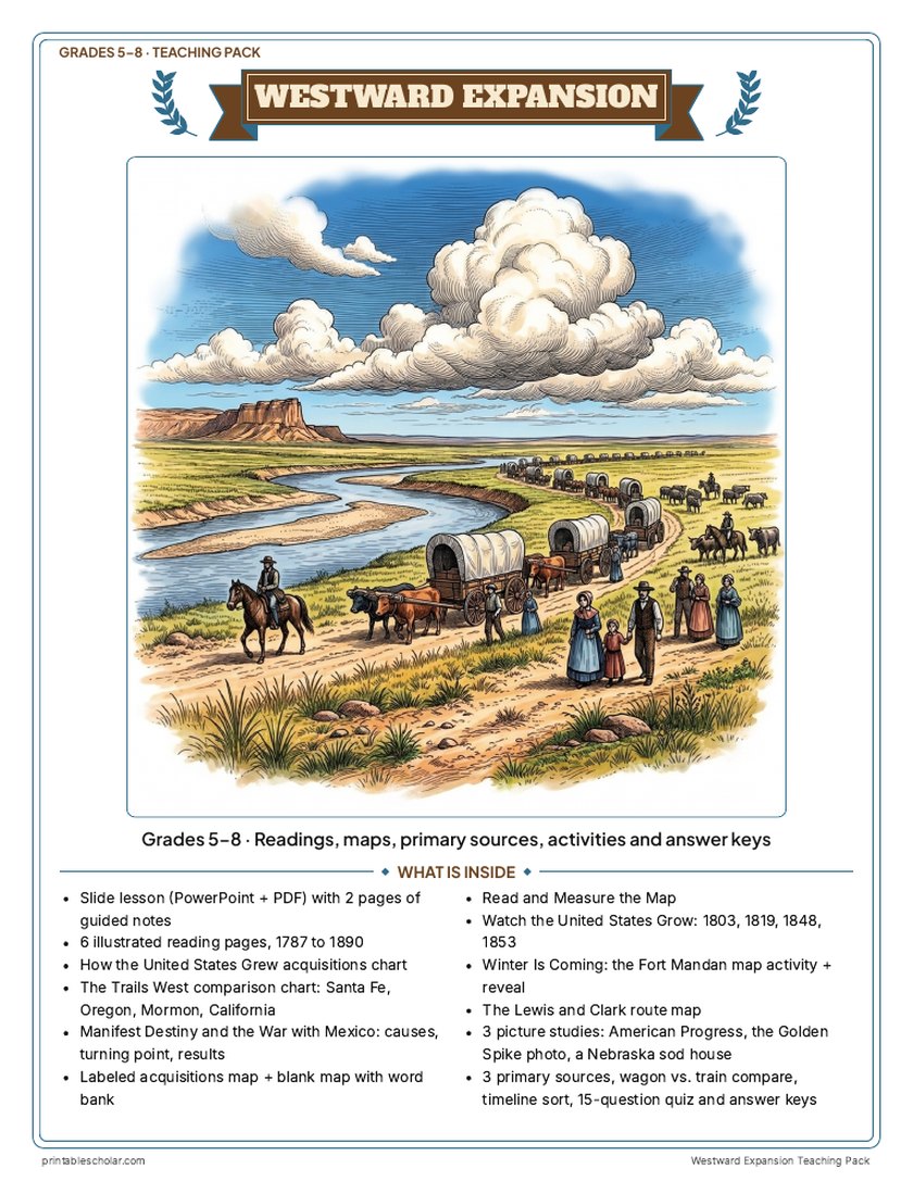
Teaching pack · Grades 5–8
Teaching Westward Expansion? The whole unit, ready to teach.
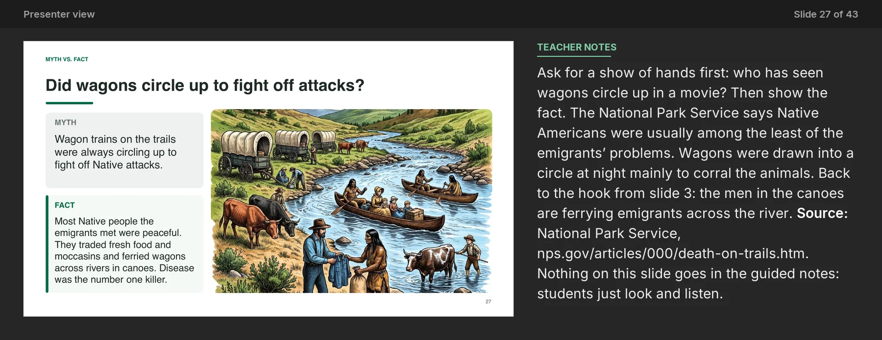
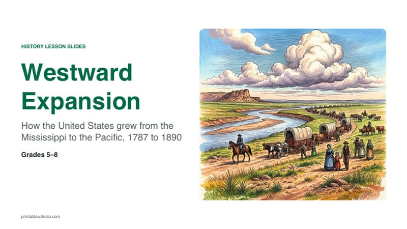
Two weeks of lessons in one download: slides to present, notes for students to fill in, and printable pages that use these maps and pictures.
Every slide comes with teacher notes: what to say, what to ask, and sample answers.
- 43 lesson slides (PowerPoint you can edit) and 2 pages of guided notes
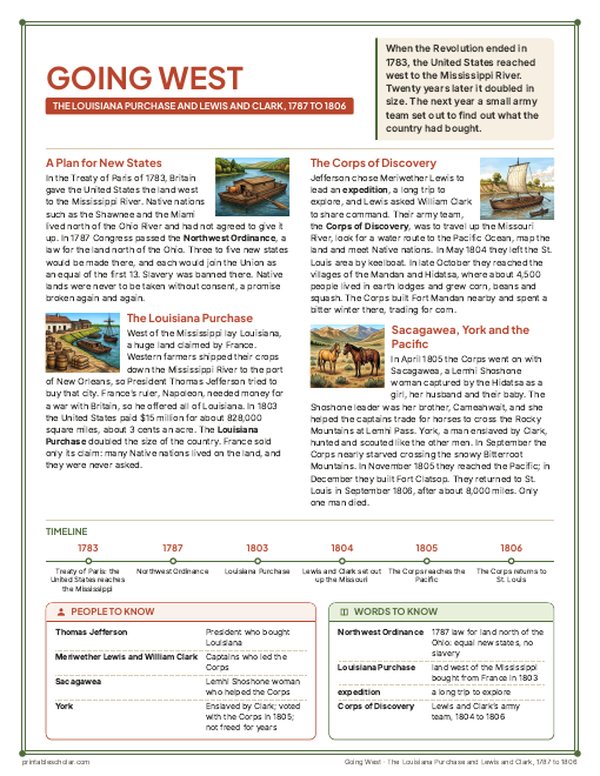
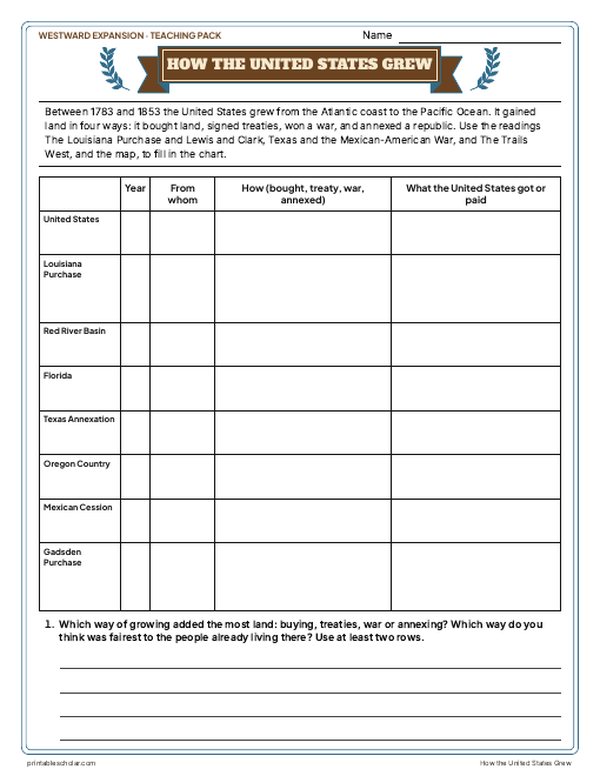
- 6 illustrated reading pages, 1787 to 1890, a How the United States Grew chart, a Trails West chart and a Manifest Destiny and the War with Mexico sheet
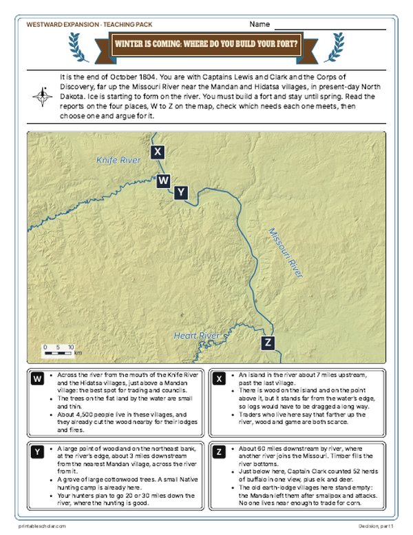
- Maps: labeled, blank, Read and Measure the Map, the United States in 1803, 1819, 1848 and 1853, the Lewis and Clark route, and a Fort Mandan decision with the reveal
- Primary sources: Clark's journal in the Bitterroots, O'Sullivan's Manifest Destiny beside a reply in Congress, and the Indian Removal Act beside John Ross's answer, each with plain English beside it; picture studies of Gast's American Progress, the 1869 Golden Spike photo and an 1886 sod house photo
- Wagon vs. train, a timeline sort, a 15-question quiz, a teacher guide with a two-week plan, and answer keys for everything
Every answer is in the pack. The readings, slides, maps and pictures teach everything the sheets and quiz ask, so no textbook is needed.
Get the Westward Expansion pack for $7Teaching more than one? Get all seven US history packs (Native American Regions, the Age of Exploration, the 13 Colonies, the American Revolution, the Constitution, Westward Expansion and the Civil War) for $34: about fourteen weeks of lessons.
Get all 7 packs for $34See all seven packsOr get every history pack (24) in one download:Get all 24 for $49
One-time purchase. Instant download. Color and ink-saving black-and-white editions. Secure checkout by Stripe.
About the Westward Expansion map
Between 1783 and 1853, the United States grew from a strip of former colonies into a nation spanning the continent. It expanded through treaties, purchases, and annexation — a drive many Americans of the era called ’Manifest Destiny,’ the belief that the country was destined to reach the Pacific.
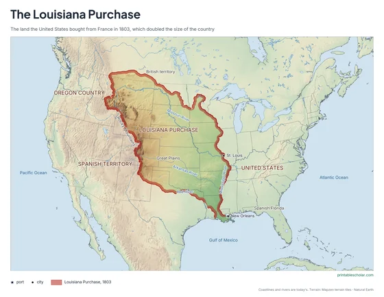
Each color marks a major acquisition: the original United States (1783), the Louisiana Purchase (1803), the Florida Cession (1819), the annexation of Texas (1845), the Oregon Country (1846), and the Mexican Cession (1848). A final sliver, the Gadsden Purchase (1853), completed the modern lower forty-eight.
This growth came at a cost. It displaced Native American nations from their homelands and reignited fierce debates over the spread of slavery that would soon erupt into the Civil War. Today’s state borders are drawn as thin lines for reference.

Pair it with a timeline
Add the dates to the geography with the free printable Westward Expansion Timeline.
Westward Expansion TimelineFind it on the map
- The Louisiana Purchase, which doubled the country in 1803
- The Mexican Cession, from California to the Rockies
- The Gadsden Purchase, the last small piece in 1853
Acquisition boundaries follow the treaty lines and the real Louisiana Purchase boundary; today’s state borders are the thin lines. Texas is shown with the land it claimed when it was annexed. Alaska (1867) and Hawaii (1898) are not shown.
Frequently asked questions
What is westward expansion?
Westward expansion is the period in the 1800s when the United States grew across North America to the Pacific Ocean through purchases, treaties, and annexation — an idea often called Manifest Destiny.
What are the main US territorial acquisitions?
The original territory (1783), the Louisiana Purchase (1803), the Red River Basin (1818), the Florida Cession (1819), the Texas Annexation (1845), the Oregon Country (1846), the Mexican Cession (1848), and the Gadsden Purchase (1853).