Free printable · real historical geography
US History Maps
Antique-style maps for your American history lessons — the Thirteen Colonies, the Louisiana Purchase, Westward Expansion, and the great trails west, each with a short history of what you're looking at. Looking for dates too? See our printable history timelines →
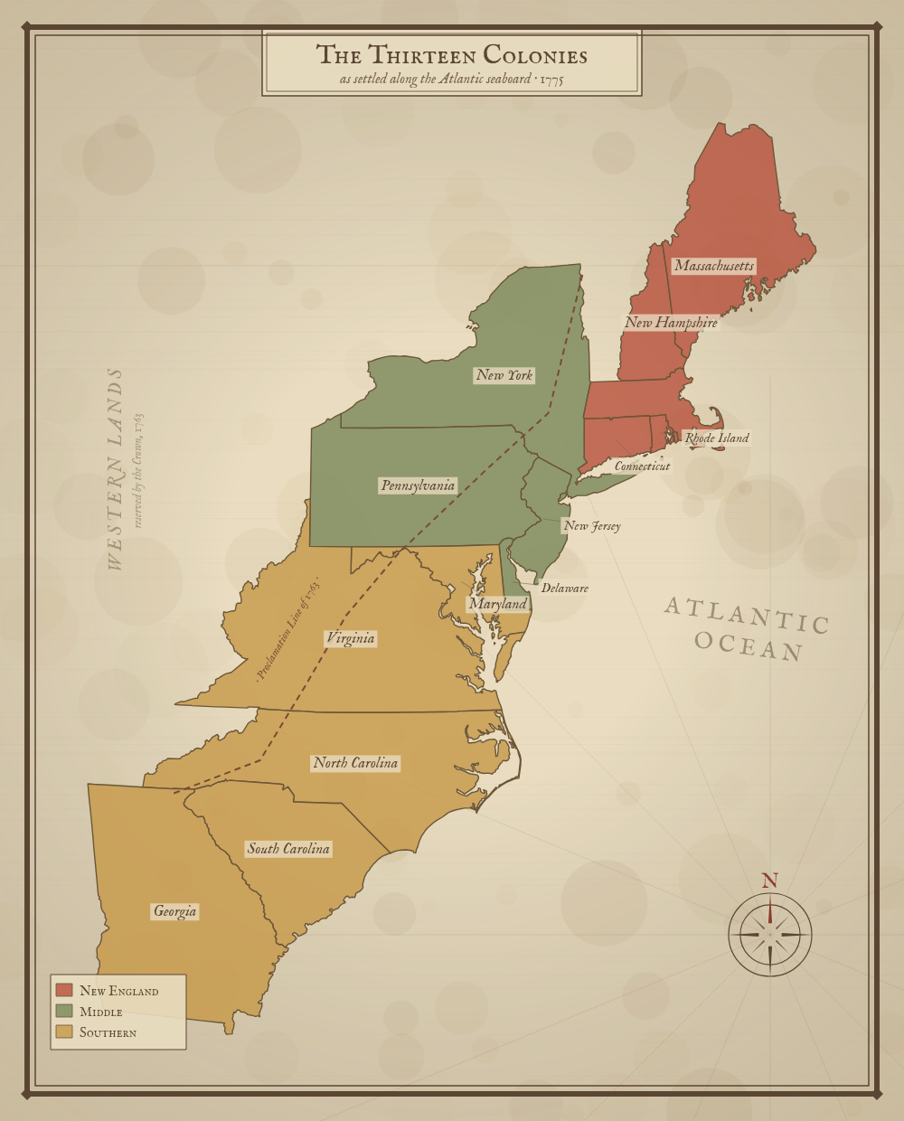
The Thirteen Colonies
New England, Middle, and Southern colonies along the Atlantic seaboard in 1775, bounded by the Proclamation Line of 1763.
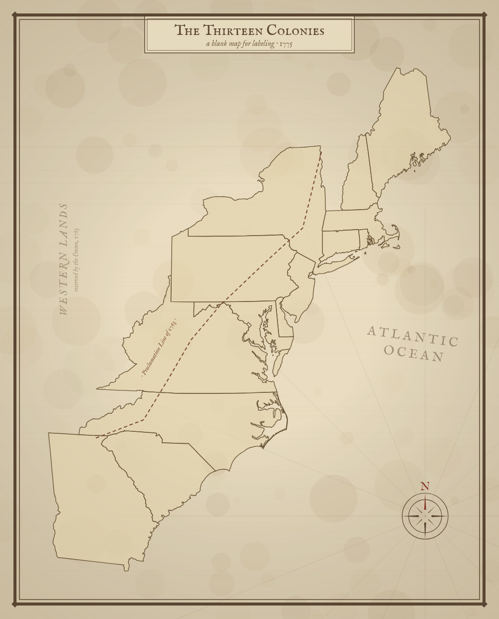
Blank 13 Colonies
The same map, unlabeled — for students to fill in the colonies and their three regions from memory.
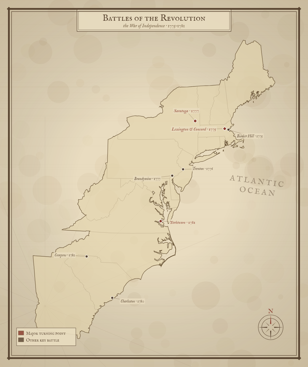
Revolutionary War Battles
The major battles of the War of Independence — Lexington & Concord, Bunker Hill, Saratoga, Trenton, and Yorktown — marked across the thirteen colonies, 1775–1781.
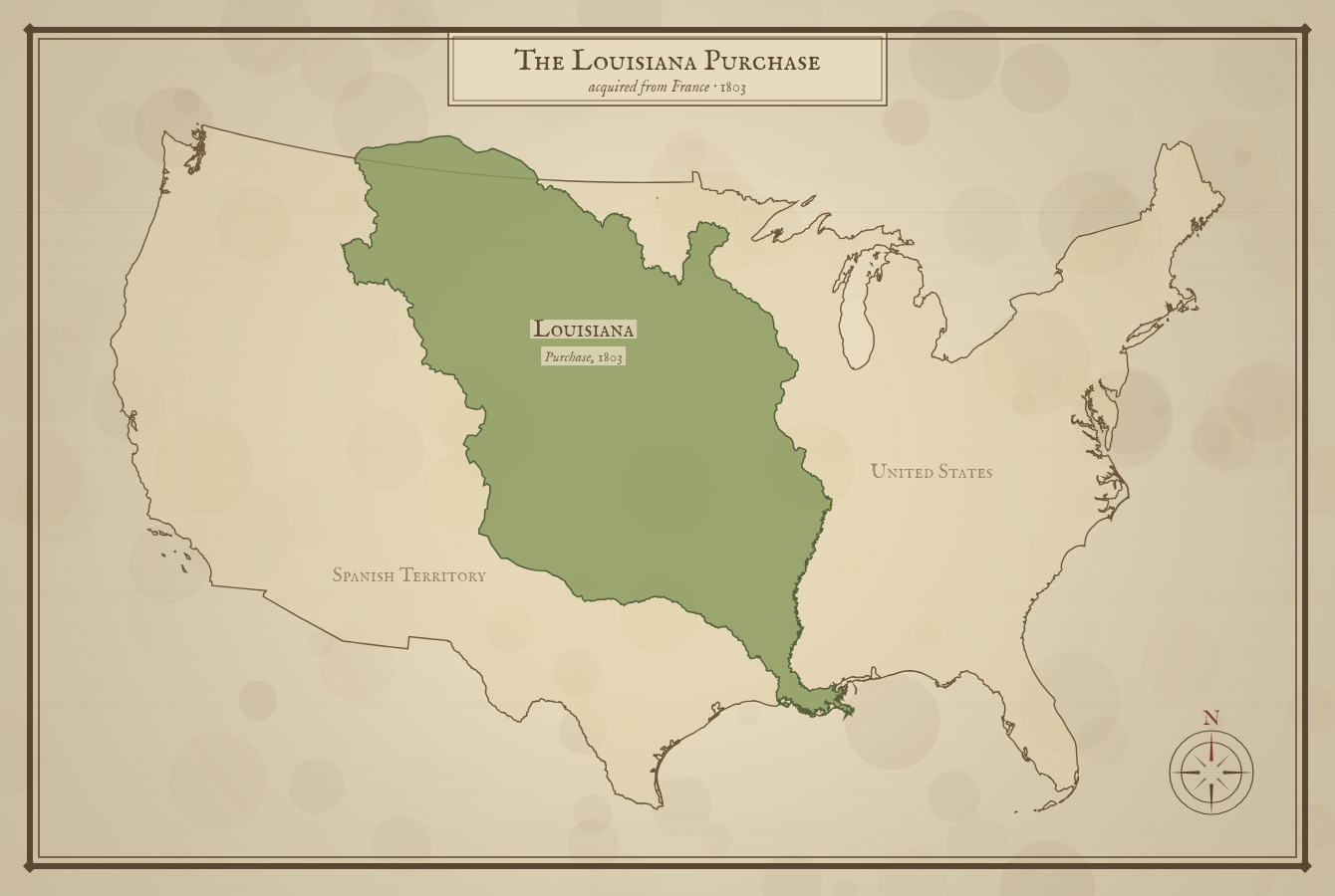
The Louisiana Purchase
The real 1803 territory bought from France — 828,000 square miles that nearly doubled the size of the young nation.
Westward Expansion
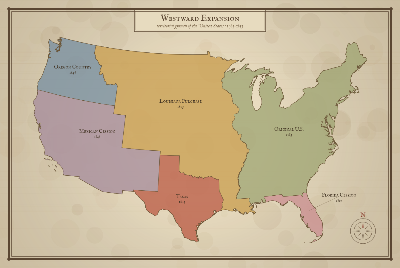
How the United States grew from 1783 to 1853 — the original territory and each major acquisition, color-coded by date.
The Oregon Trail
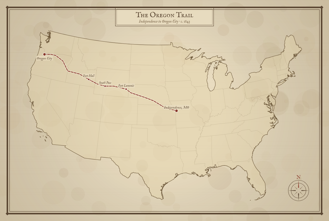
The 2,000-mile pioneer route from Independence, Missouri to Oregon City, with landmarks like Fort Laramie and South Pass.
Lewis & Clark
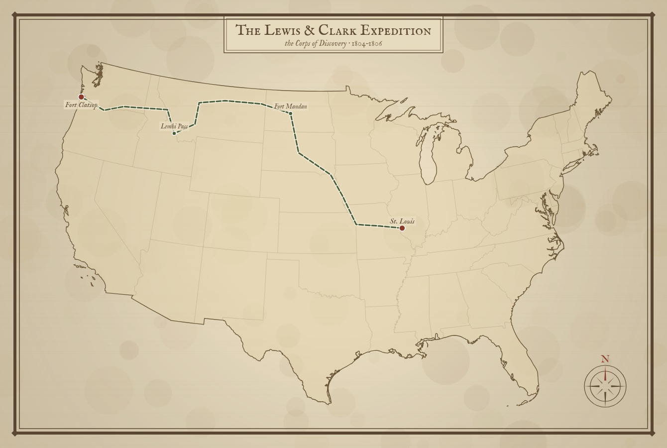
The Corps of Discovery's route from St. Louis to the Pacific and back, 1804–1806 — Fort Mandan to Fort Clatsop.
The Civil War
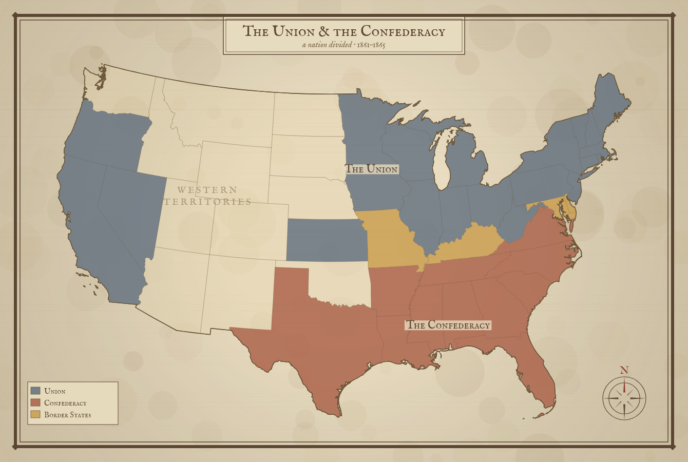
The Union, the Confederacy, and the four Border States color-coded across a divided nation, 1861–1865.
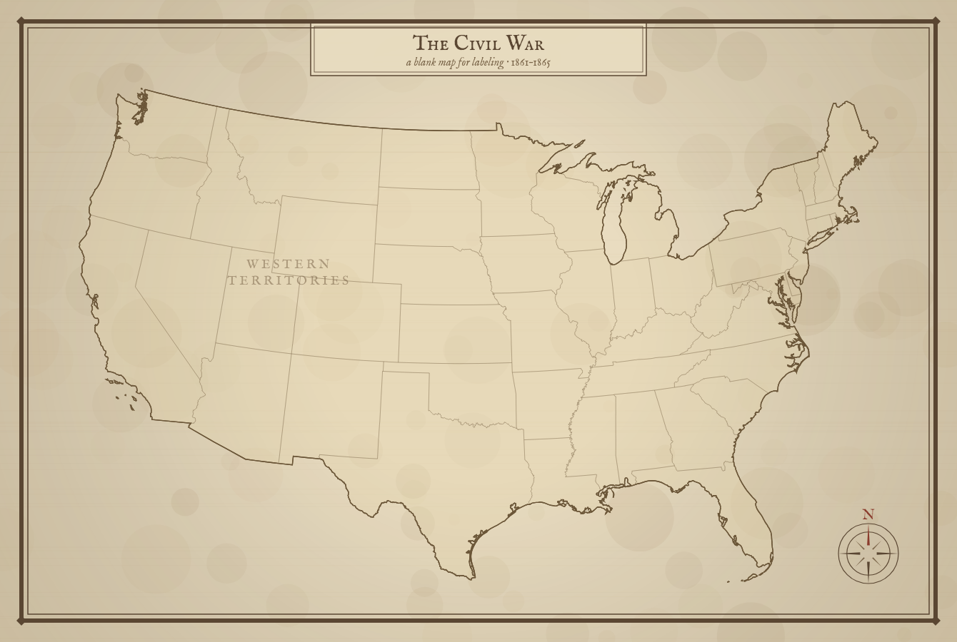
Blank Civil War Map
Just the state outlines — for students to color and label the Union, Confederate, and Border States themselves.
Real history, drawn like an old map
These maps are styled after the hand-drawn cartography of the era — aged paper, a compass rose, and period lettering — but the geography underneath is real. The colonies, territories, and coastlines are rendered from authoritative cartographic data, and the Louisiana Purchase is drawn from the actual 1803 boundary, not modern state lines. Nothing here is AI-generated.
Every map is a free PDF built for standard Letter paper, and each has a short, classroom-ready history that explains what you're looking at — from the three colonial regions and the road to revolution, to Manifest Destiny and the journey of the Corps of Discovery. They pair naturally with our blank US maps and grade-level map packs.