Free Printable Civil War Map
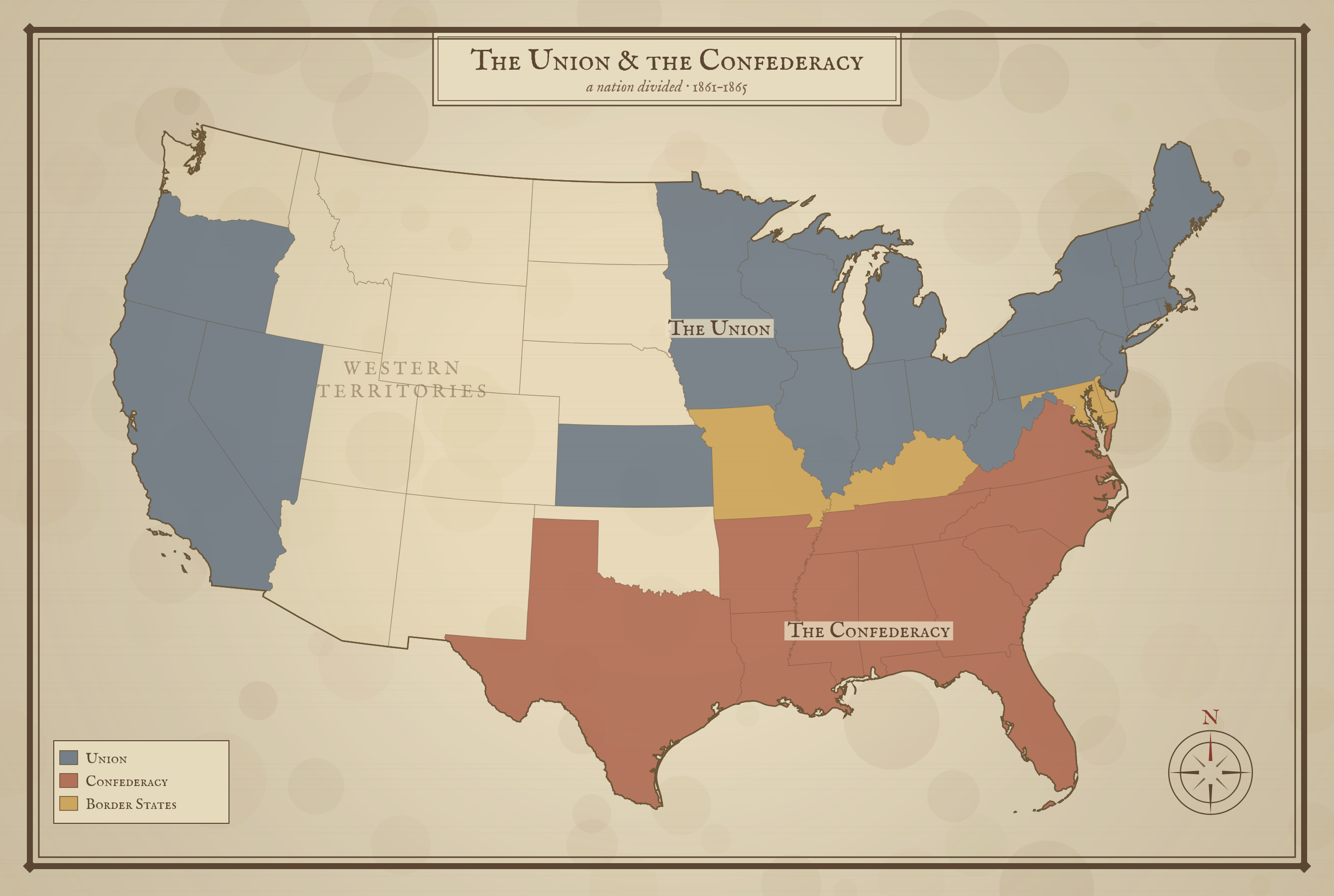
Free printable Civil War map in a classic antique style, color-coded into the Union, the Confederacy, and the Border States. A historically framed classroom resource for US history lessons on 1861–1865.
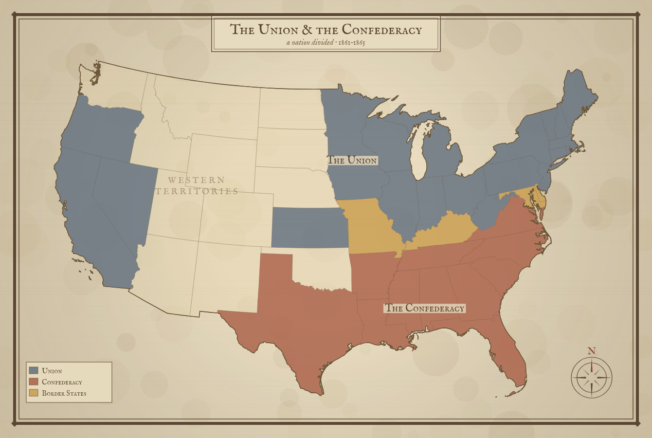
West Virginia is shown as a Union state; it split from Virginia in 1863 to remain with the Union. The four slave states that never seceded — Delaware, Maryland, Kentucky, and Missouri — are the Border States. The mountain West was still unorganized territory.
About This US Map
Free printable Civil War map in a classic antique style, color-coded into the Union, the Confederacy, and the Border States. A historically framed classroom resource for US history lessons on 1861–1865.
The History Behind This Map
By 1861 the United States had split in two over slavery and states' rights. Eleven Southern states seceded to form the Confederate States of America: Virginia, North Carolina, South Carolina, Georgia, Florida, Alabama, Mississippi, Tennessee, Arkansas, Louisiana, and Texas. The remaining states stayed loyal to the Union under President Abraham Lincoln.
Between the two sides lay the Border States — Delaware, Maryland, Kentucky, and Missouri. These were slave states that never left the Union, and holding them was vital to the North. West Virginia broke away from Virginia in 1863 to remain with the Union as well.
The Civil War lasted from 1861 to 1865 and ended with the defeat of the Confederacy, the preservation of the Union, and the abolition of slavery through the Thirteenth Amendment. It remains the deadliest war in American history.
How to Use
Print this map on standard US Letter paper (8.5" × 11"). Click "Download PDF" for a print-ready file that automatically fits your page in the right orientation, or "Download PNG" for the high-resolution image file.
Frequently Asked Questions
Which states were in the Union and which were in the Confederacy?
The Confederacy was made up of eleven states: Virginia, North Carolina, South Carolina, Georgia, Florida, Alabama, Mississippi, Tennessee, Arkansas, Louisiana, and Texas. The Union included the free states of the North and West. Four slave states — Delaware, Maryland, Kentucky, and Missouri — stayed in the Union and are called the Border States.
Why is West Virginia colored as a Union state?
When Virginia seceded in 1861, the western counties refused to leave the Union and formed a new state, West Virginia, admitted in 1863. This map shows it in the Union color to reflect that history.
How is the map color-coded?
The Union is shown in slate blue, the Confederacy in red-brown, and the four Border States in gold. The mountain West is left blank because it was unorganized territory during the war, not yet made up of states.