Free Printable Blank 13 Colonies Map
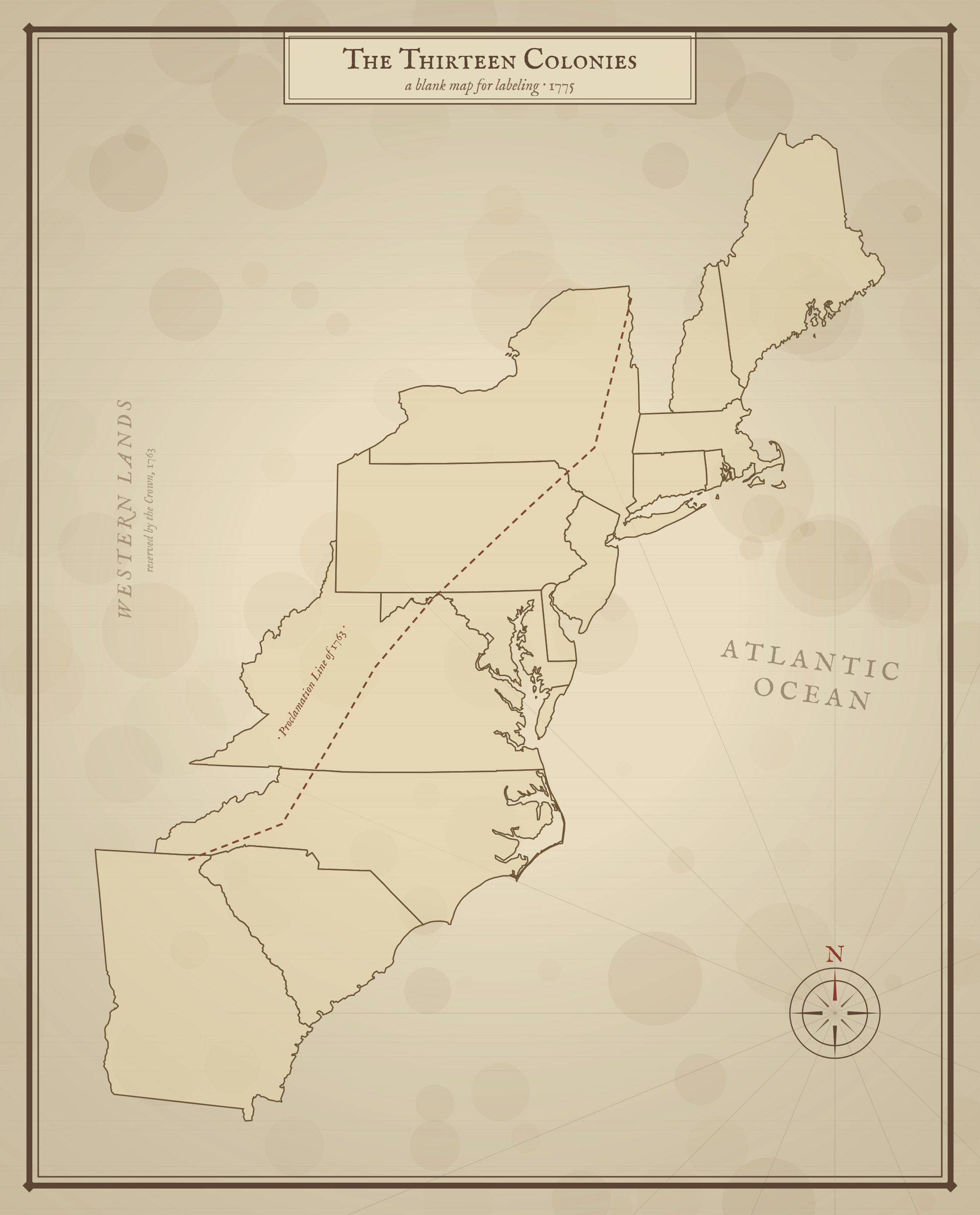
Free printable blank 13 Colonies map in a vintage style — colony outlines with no labels, so students can fill in the names and regions from memory.
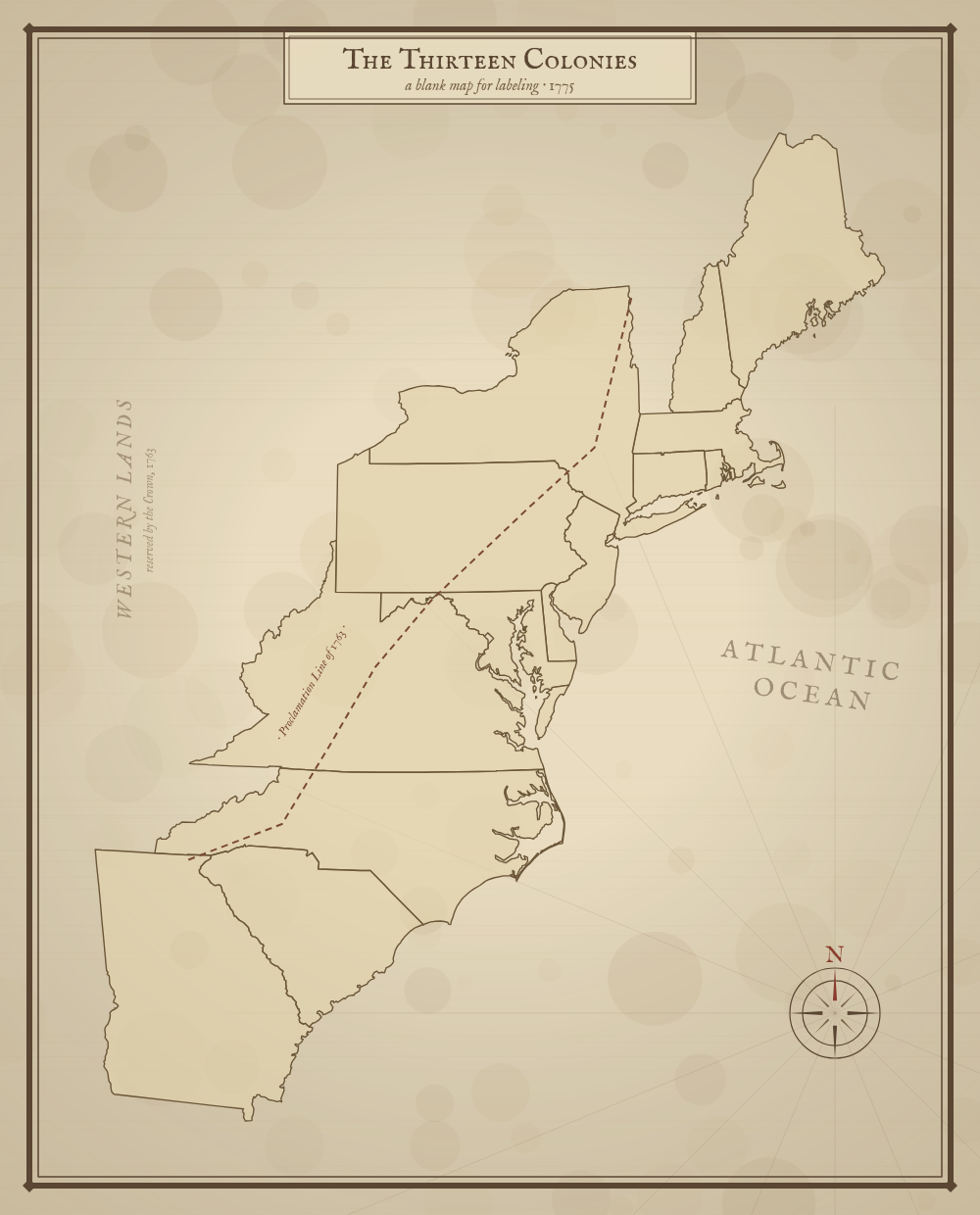
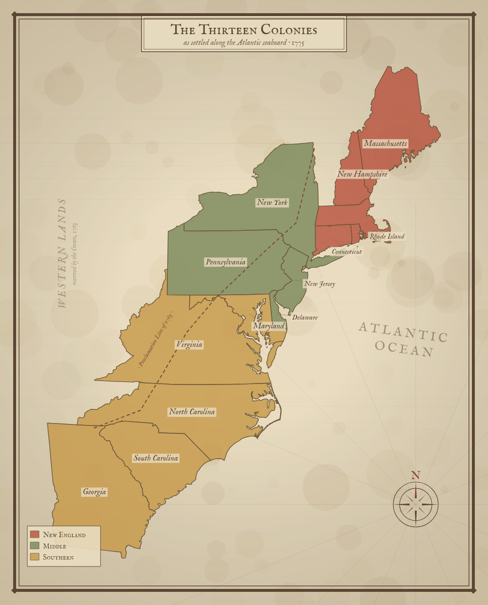
Massachusetts includes the District of Maine and Virginia includes present-day West Virginia, matching their 1775 extent.
About This US Map
Free printable blank 13 Colonies map in a vintage style — colony outlines with no labels, so students can fill in the names and regions from memory.
The History Behind This Map
This blank version shows the same thirteen colonies as the labeled map, with no names or colors filled in. Use it as a quiz or review activity: have students label each colony, mark the New England, Middle, and Southern regions, and trace the Proclamation Line of 1763 that bounded settlement to the west.
The thirteen colonies were Massachusetts, New Hampshire, Rhode Island, Connecticut, New York, New Jersey, Pennsylvania, Delaware, Maryland, Virginia, North Carolina, South Carolina, and Georgia — the Atlantic-coast provinces that declared independence from Great Britain in 1776.
How to Use
Print this map on standard US Letter paper (8.5" × 11"). Click "Download PDF" for a print-ready file that automatically fits your page in the right orientation, or "Download PNG" for the high-resolution image file.
Frequently Asked Questions
How do I use a blank 13 colonies map?
Have students write in the name of each colony and label the New England, Middle, and Southern regions. It's a great quiz or review activity for a US history unit.
Which states were the 13 colonies?
Massachusetts, New Hampshire, Rhode Island, Connecticut, New York, New Jersey, Pennsylvania, Delaware, Maryland, Virginia, North Carolina, South Carolina, and Georgia.