Free Printable Oregon Trail Map
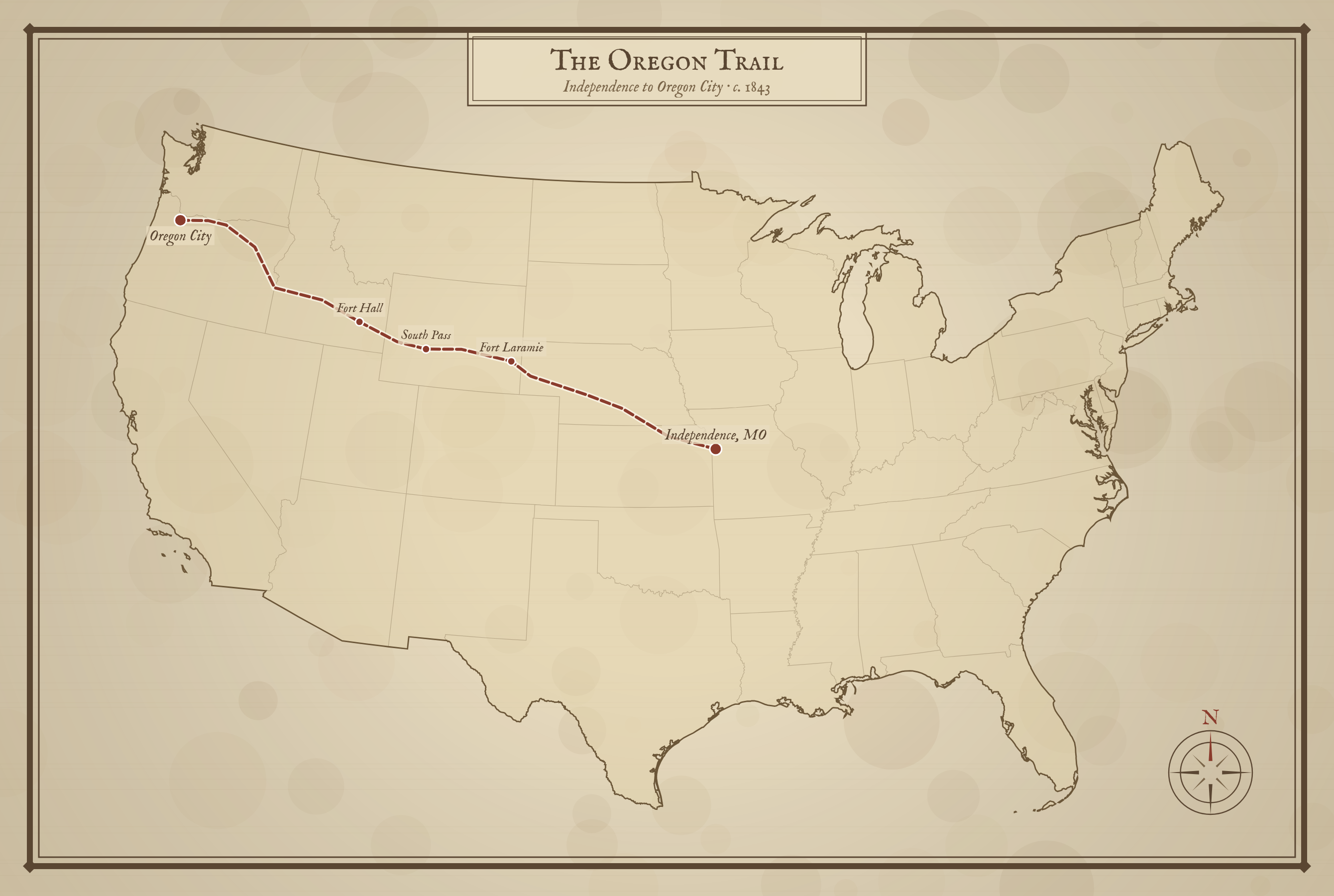
Free printable Oregon Trail map in a classic antique style, tracing the ~2,000-mile pioneer route from Independence, Missouri to Oregon City with key landmarks.
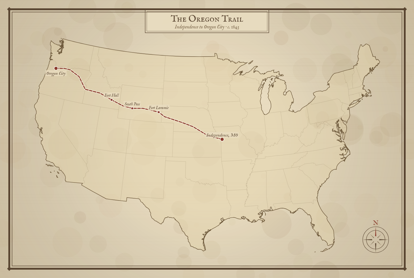
A simplified route, shown over present-day state lines for reference; the actual trail had many branches and cutoffs.
About This US Map
Free printable Oregon Trail map in a classic antique style, tracing the ~2,000-mile pioneer route from Independence, Missouri to Oregon City with key landmarks.
The History Behind This Map
From the 1840s to the 1860s, hundreds of thousands of pioneers traveled the Oregon Trail — about 2,000 miles from Independence, Missouri to the Willamette Valley of Oregon. Families packed their belongings into covered wagons and walked much of the way beside them.
The journey took four to six months and followed rivers and mountain passes across the plains: past Fort Kearny and Chimney Rock, up to Fort Laramie and Independence Rock, over the gentle South Pass through the Rocky Mountains, and on to Fort Hall before the final push to the Columbia River and Oregon City.
Travelers faced river crossings, disease, and exhaustion far more often than the conflicts of popular imagination. The Oregon Trail was one of several — including the California and Mormon Trails — that shared its early route and reshaped the American West.
How to Use
Print this map on standard US Letter paper (8.5" × 11"). Click "Download PDF" for a print-ready file that automatically fits your page in the right orientation, or "Download PNG" for the high-resolution image file.
Frequently Asked Questions
How long was the Oregon Trail?
The Oregon Trail stretched about 2,000 miles from Independence, Missouri to the Willamette Valley in Oregon. The journey by wagon took four to six months.
What were some landmarks on the Oregon Trail?
Famous stops included Fort Kearny, Chimney Rock and Scotts Bluff, Fort Laramie, Independence Rock, South Pass, Fort Bridger, and Fort Hall before reaching the Columbia River and Oregon City.