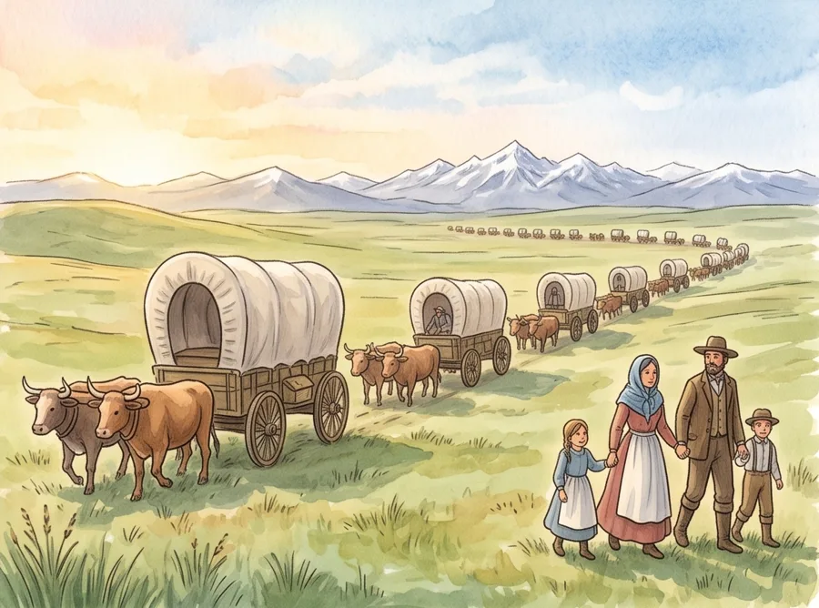
Westward Expansion Timeline for Kids
At first, the United States was only a strip of land near the Atlantic Ocean. Over about 65 years, it grew all the way to the Pacific Ocean. This timeline shows how people moved west, and what it meant for the people already living there.
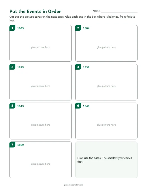
Cut and Order Activity
Cut out the seven picture cards and glue them in order on the timeline.
Download PDF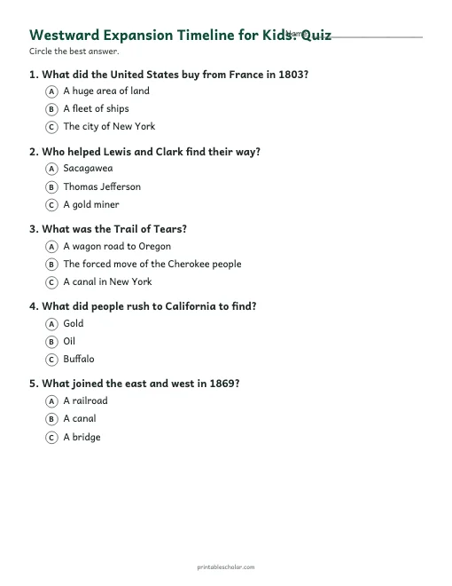
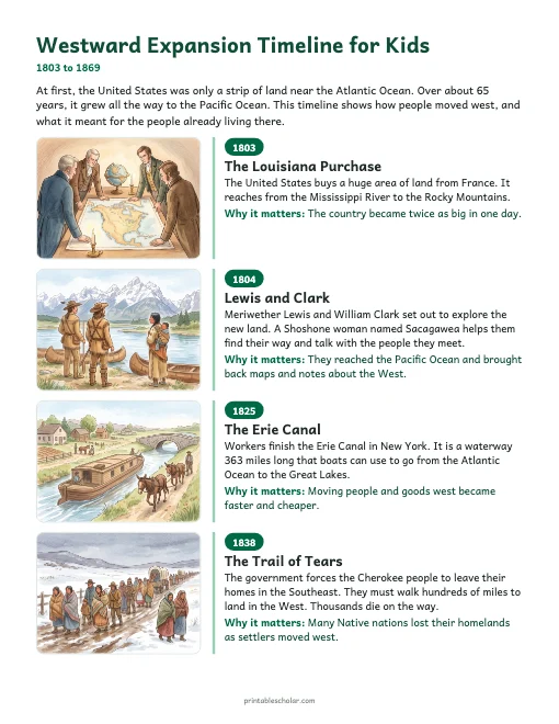
The timeline
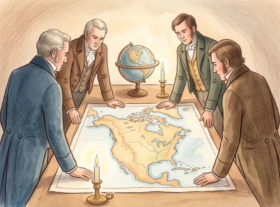 1803
1803The Louisiana Purchase
The United States buys a huge area of land from France. It reaches from the Mississippi River to the Rocky Mountains.
Why it matters: The country became twice as big in one day.
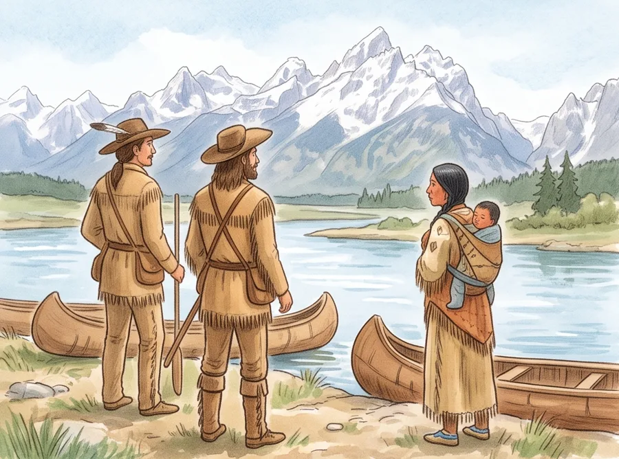 1804
1804Lewis and Clark
Meriwether Lewis and William Clark set out to explore the new land. A Shoshone woman named Sacagawea helps them find their way and talk with the people they meet.
Why it matters: They reached the Pacific Ocean and brought back maps and notes about the West.
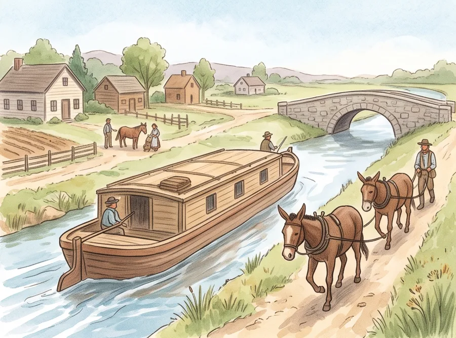 1825
1825The Erie Canal
Workers finish the Erie Canal in New York. It is a waterway 363 miles long that boats can use to go from the Atlantic Ocean to the Great Lakes.
Why it matters: Moving people and goods west became faster and cheaper.
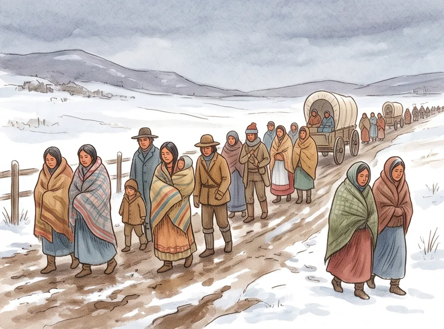 1838
1838The Trail of Tears
The government forces the Cherokee people to leave their homes in the Southeast. They must walk hundreds of miles to land in the West. Thousands die on the way.
Why it matters: Many Native nations lost their homelands as settlers moved west.
 1843
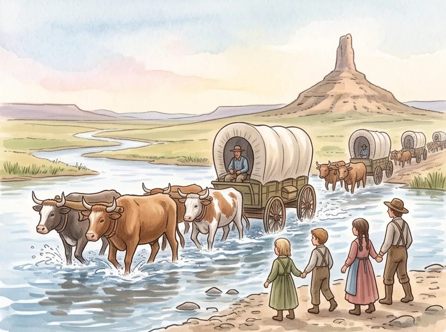
1843The Oregon Trail
About 1,000 people leave Missouri in covered wagons. They travel 2,000 miles to Oregon. The trip takes about five months.
Why it matters: Thousands more families followed the trail in the years after.
 1848
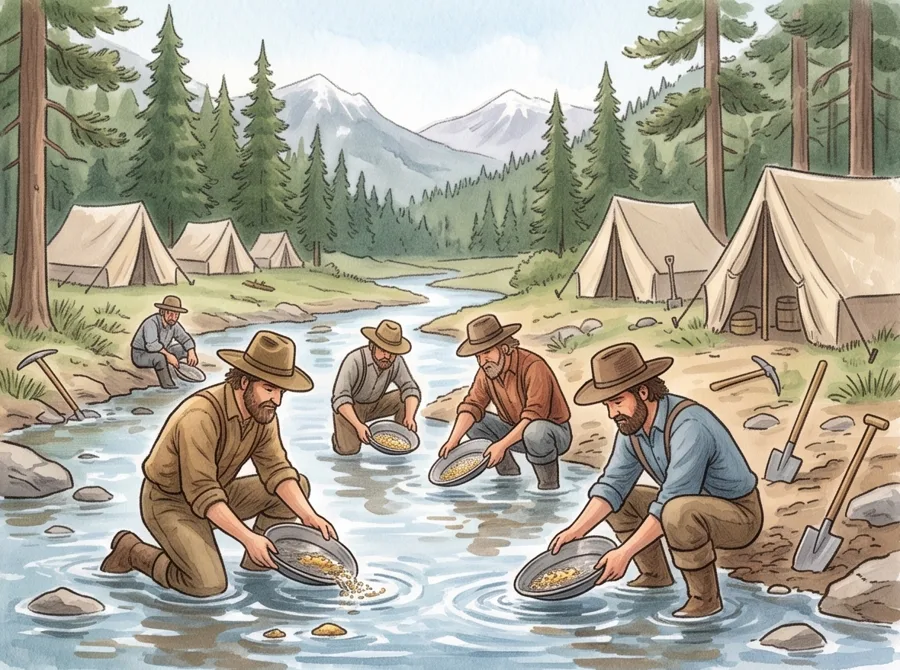
1848Gold in California
A worker finds gold in a river in California. The news spreads. The next year, tens of thousands of people rush there to look for gold.
Why it matters: California grew so fast that it became a state in 1850.
 1869
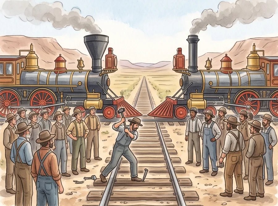
1869A Railroad Across the Country
Two railroad companies build tracks toward each other, one from the east and one from the west. They meet in Utah. A golden spike is hammered in to join them.
Why it matters: A trip that took months by wagon now took about a week by train.
Words to know
- explore: to travel to a place to learn about it
- canal: a waterway dug by people for boats
- homeland: the place where a people has always lived
- settler: a person who moves to a new place to live
Quiz
- What did the United States buy from France in 1803?
A. A huge area of land B. A fleet of ships C. The city of New York - Who helped Lewis and Clark find their way?
A. Sacagawea B. Thomas Jefferson C. A gold miner - What was the Trail of Tears?
A. A wagon road to Oregon B. The forced move of the Cherokee people C. A canal in New York - What did people rush to California to find?
A. Gold B. Oil C. Buffalo - What joined the east and west in 1869?
A. A railroad B. A canal C. A bridge
Show answers
1. A (A huge area of land) 2. A (Sacagawea) 3. B (The forced move of the Cherokee people) 4. A (Gold) 5. A (A railroad)
The pictures are illustrations made for this timeline. They show what these people and places may have looked like.