Free Printable Lewis and Clark Map
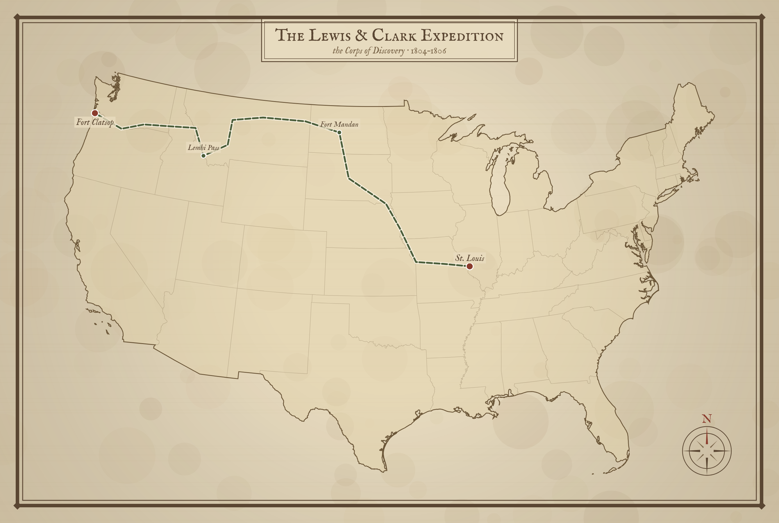
Free printable Lewis and Clark Expedition map in a vintage style, tracing the Corps of Discovery's route from St. Louis to the Pacific Ocean (1804–1806).
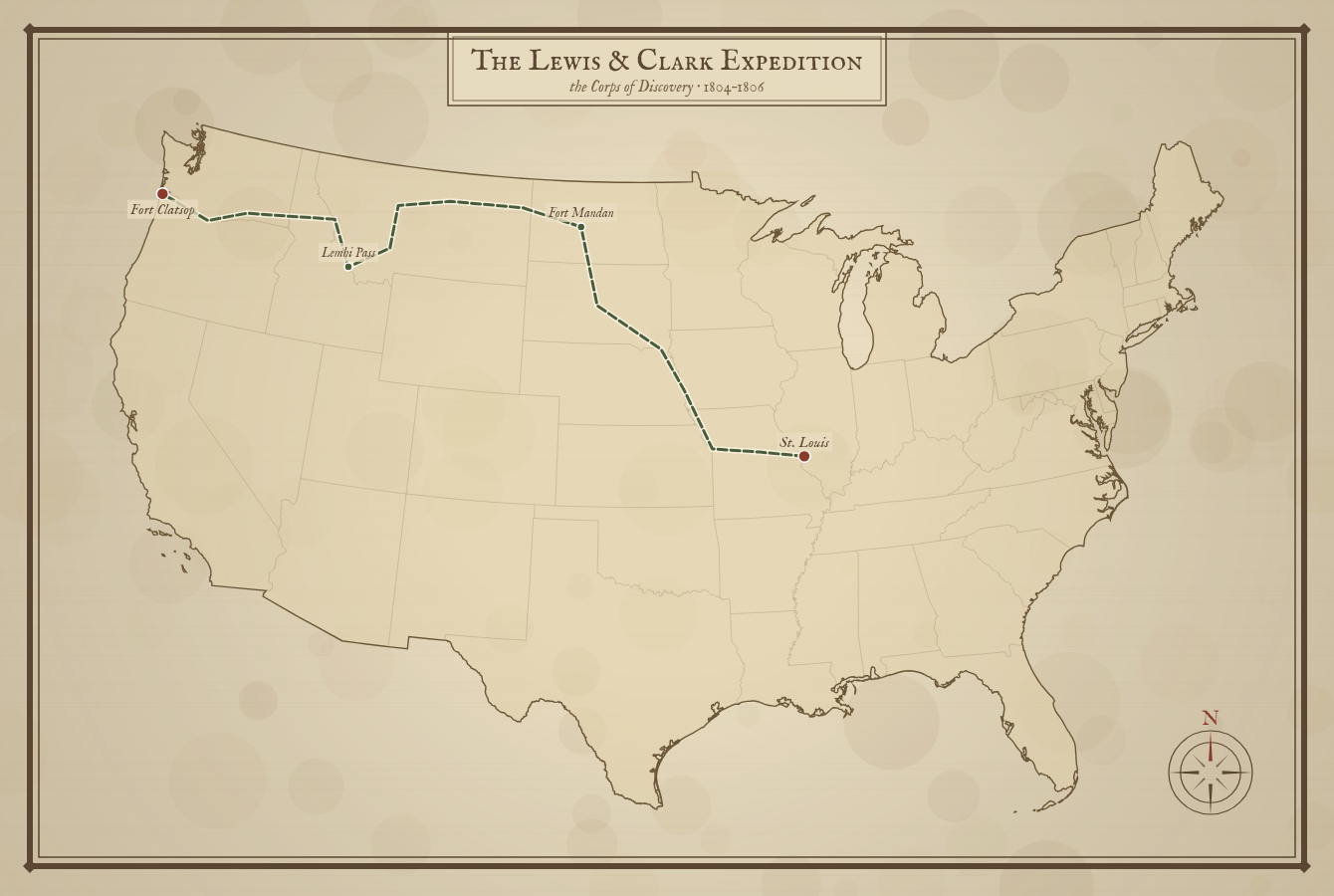
A simplified outbound route, shown over present-day state lines for reference.
About This US Map
Free printable Lewis and Clark Expedition map in a vintage style, tracing the Corps of Discovery's route from St. Louis to the Pacific Ocean (1804–1806).
The History Behind This Map
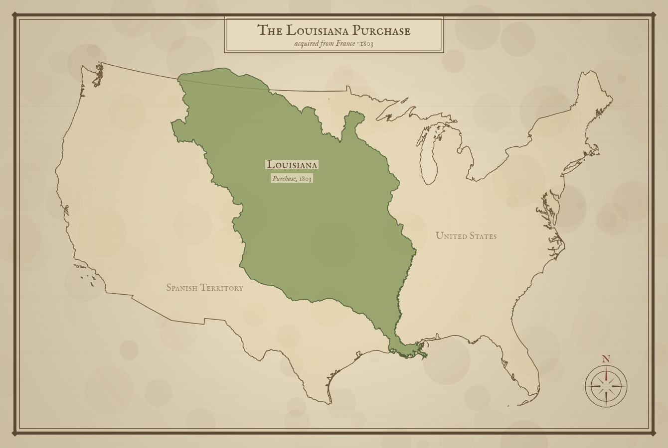
In 1804, President Thomas Jefferson sent Meriwether Lewis and William Clark to explore the vast land of the Louisiana Purchase and search for a water route to the Pacific Ocean. Their group, the Corps of Discovery, set out from near St. Louis and followed the Missouri River upstream.
They spent the first winter at Fort Mandan in present-day North Dakota, where they were joined by Sacagawea, a Shoshone woman whose guidance and translation proved vital. The expedition crossed the Rocky Mountains at Lemhi Pass, then followed the Clearwater and Columbia Rivers to the coast, wintering at Fort Clatsop before the return journey.
Over two years and roughly 8,000 miles, the Corps mapped rivers and mountains, recorded hundreds of plants and animals new to science, and made contact with dozens of Native nations. They never found an all-water route west — but their maps opened the region to those who followed.
How to Use
Print this map on standard US Letter paper (8.5" × 11"). Click "Download PDF" for a print-ready file that automatically fits your page in the right orientation, or "Download PNG" for the high-resolution image file.
Frequently Asked Questions
What was the Lewis and Clark Expedition?
From 1804 to 1806, Meriwether Lewis and William Clark led the Corps of Discovery from near St. Louis up the Missouri River, across the Rocky Mountains, and down to the Pacific Ocean to explore the land of the Louisiana Purchase.
Where did the Lewis and Clark Expedition go?
They traveled from St. Louis through present-day Missouri, the Dakotas, Montana, and Idaho, then down the Columbia River through Oregon to the Pacific, wintering at Fort Clatsop before returning.