Printable Scholar
Blank Civil War Map
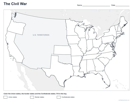
Free printable blank Civil War map: the outline of the states with no names or colors, ready for students to color and label the Union, the Confederacy, and the Border States.

Choose your version
Black and white, color or blank.
All three are free PDFs sized for US Letter paper.
Blank
Outlines only, for students to label.
downloadBlank PDF
Black and white
Everything named, with gray shading and dots in place of the colors. No color ink needed.
downloadBlack and white PDF
Color
Everything named, in color.
downloadColor PDF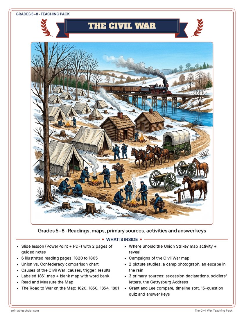
Teaching pack · Grades 5–8
Teaching the Civil War? The whole unit, ready to teach.
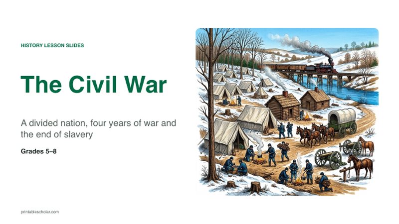
Two weeks of lessons in one download: slides to present, notes for students to fill in, and printable pages that use these maps and pictures.
Every slide comes with teacher notes: what to say, what to ask, and sample answers.
- 42 lesson slides (PowerPoint you can edit) and 2 pages of guided notes
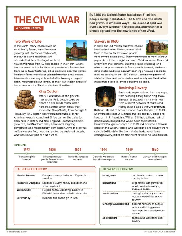
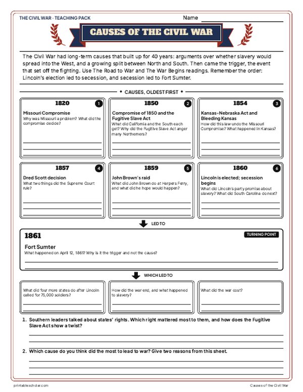
- 6 illustrated reading pages, a Union vs. Confederacy chart and a causes sheet
- Maps: labeled, blank, Read and Measure the Map, four road-to-war maps (1820 to 1861), a campaigns map and a "Where should the Union strike?" decision with the reveal
- Primary sources: the secession declarations, soldiers' letters from both sides, and the Gettysburg Address, each with plain English beside it; picture studies of a real 1862 camp photograph and an 1872 Underground Railroad engraving
- Grant and Lee, a timeline sort, a 15-question quiz, a teacher guide with a two-week plan, and answer keys for everything
Every answer is in the pack. The readings, slides, maps and pictures teach everything the sheets and quiz ask, so no textbook is needed.
Get the Civil War pack for $7Teaching more than one? Get all seven US history packs (Native American Regions, the Age of Exploration, the 13 Colonies, the American Revolution, the Constitution, Westward Expansion and the Civil War) for $34: about fourteen weeks of lessons.
Get all 7 packs for $34See all seven packsOr get every history pack (24) in one download:Get all 24 for $49
One-time purchase. Instant download. Color and ink-saving black-and-white editions. Secure checkout by Stripe.
The 10-day plan
10 lessons, each planned for one class period of about 45 to 50 minutes, straight from the teacher guide. Some days are fuller than others; the note below shows how to even them out.
- Day 1Hook: Where should the Union strike?
- Day 2A divided nation and Escape in the Rain
- Day 3The road to war and its maps
- Day 4The war begins and why the states seceded
- Day 5Causes of the war and the map sheets
- Day 6Turning points and the Gettysburg Address
- Day 7Life during the war and why they fought
- Day 8Union victory, the campaigns map and the reveal
- Day 9Grant and Lee and the timeline sort
- Day 10Review and the 15-question quiz
Fitting it to your schedule: Days 7 and 8 are the fullest and Days 2 and 9 the lightest. With 10 periods, move the Campaigns of the Civil War map sheet from Day 8 to Day 9. With 8 periods, give the Day 5 causes sheet, blank map and Read and Measure the Map as homework over Days 4 and 6, give the Grant and Lee sheet as homework and open the Day 10 review with the timeline sort.
See the full day-by-day plan
- Day 1
- Hook: Where Should the Union Strike? Students read the four generals' reports, fill the needs checklist and argue for a plan. Keep the What Really Happened page for Day 8.
- Day 2
- Slides 3-8 with guided notes page 1. Reading: A Divided Nation. Picture study: Escape in the Rain.
- Day 3
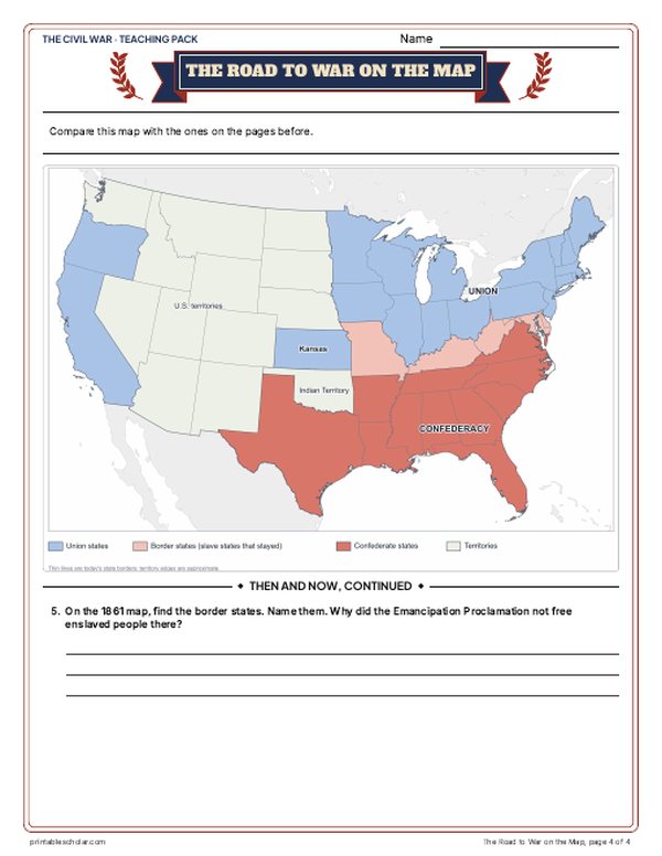
- Slides 9-13. Reading: The Road to War. The Road to War on the Map (1820, 1850, 1854, 1861) and its questions.
- Day 4
- Slides 14-19. Reading: The War Begins. Start the Union vs. Confederacy chart. Primary source: Why the States Seceded.
- Day 5
- Causes of the Civil War sheet (long-term causes, the trigger, results). Labeled map, then the blank map with the word bank and Read and Measure the Map.
- Day 6
- Slides 20-27 with guided notes page 2, with Myth vs. Fact. Reading: Turning Points. Primary source: the Gettysburg Address, read aloud in parts.
- Day 7
- Slides 28-33. Reading: Life During the War. Picture study: A Soldier's Family in Camp. Primary source: Why They Fought.
- Day 8
- Slides 34-39, with Weird but True. Reading: Union Victory. Campaigns of the Civil War map sheet. Reveal: What Really Happened; students compare it with their Day 1 choice. Finish the chart.
- Day 9
- Grant and Lee compare sheet. Timeline sort.
- Day 10
- Slides 40-42: the Who am I? riddle and the exit question; finish guided notes page 2. 15-question quiz. Use the answer keys to check every sheet.
About this blank map
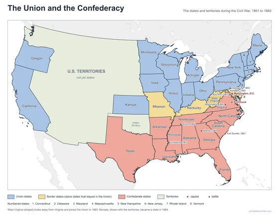
This blank Civil War map shows the outline of the United States as it was during the war years of 1861 to 1865. Use it to have students map out the two sides of the conflict for themselves.
The eleven Confederate states seceded from the Union, while the Northern and Western free states remained loyal. The four Border States — Delaware, Maryland, Kentucky, and Missouri — were slave states that stayed in the Union, and West Virginia broke away from Virginia in 1863 to join it.

Pair it with a timeline
Add the dates to the geography with the free printable Civil War Timeline.
Civil War TimelineFind it on the map
- The two capitals, Washington and Richmond, only about 100 miles apart
- The border states between North and South
- West Virginia, which broke away from Virginia in 1863
A blank outline map for classroom use. Students can color the Union, the Confederacy, and the four Border States, then label the states from memory.
Frequently asked questions
How do I use this blank Civil War map?
Print it and have students color the Union states, the Confederate states, and the four Border States, then label each state. It works well as a quiz, a study aid, or a coloring activity for US history units.
Which states should students color for the Confederacy?
The eleven Confederate states were Virginia, North Carolina, South Carolina, Georgia, Florida, Alabama, Mississippi, Tennessee, Arkansas, Louisiana, and Texas. Everything else in the North and West was the Union, with Delaware, Maryland, Kentucky, and Missouri as the Border States.
Is this map free to print?
Yes. Download the PDF and print as many copies as you need for your classroom or homeschool — it’s completely free.