Free Printable Louisiana Purchase Map
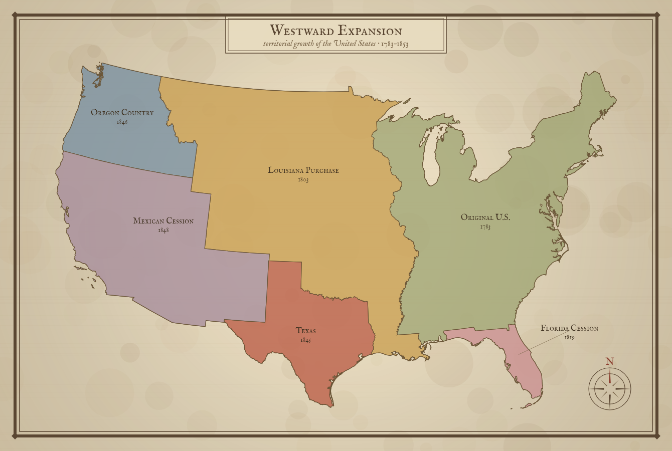
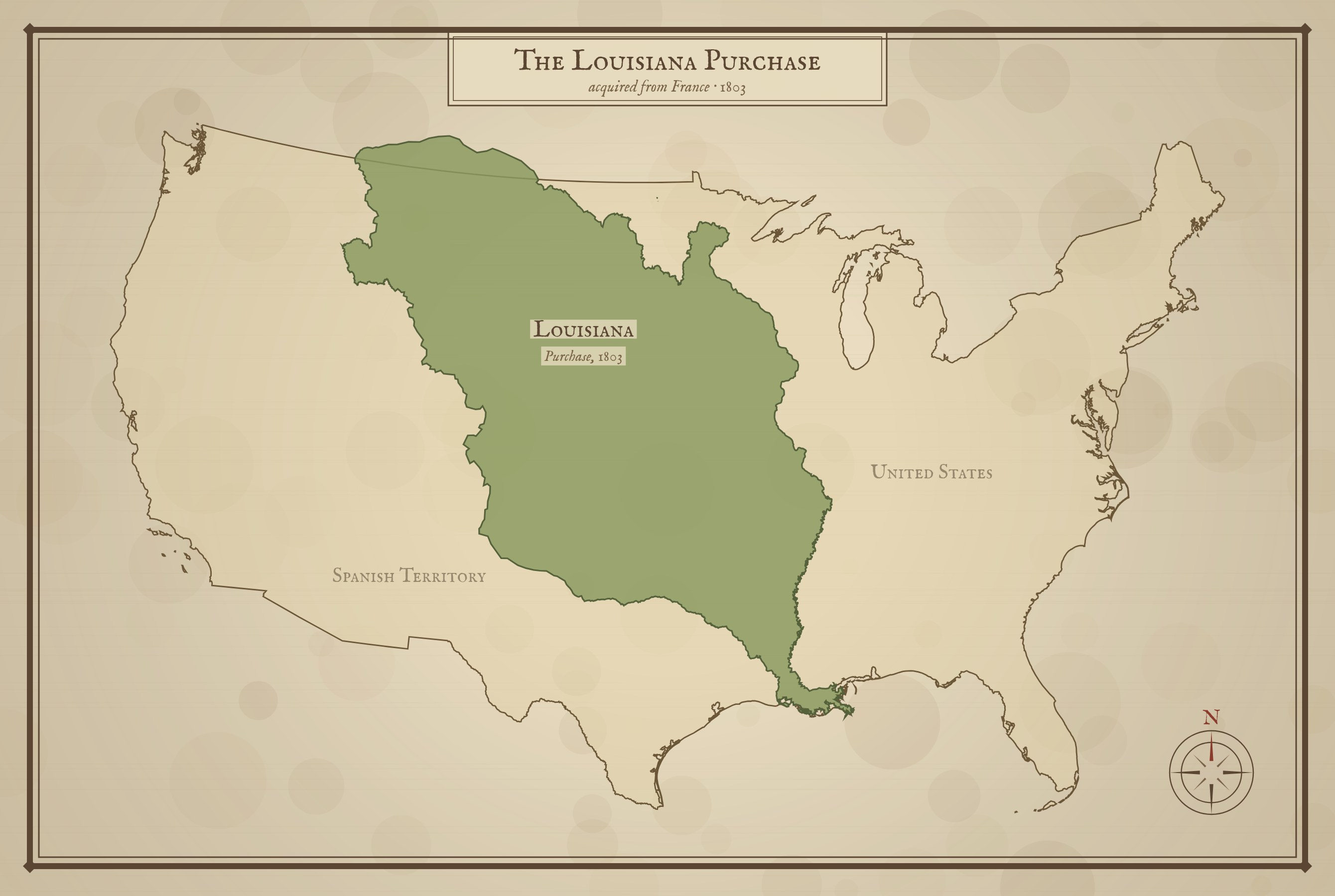
Free printable Louisiana Purchase map showing the real 1803 territory the United States bought from France, drawn in a classic antique style over the present-day United States.
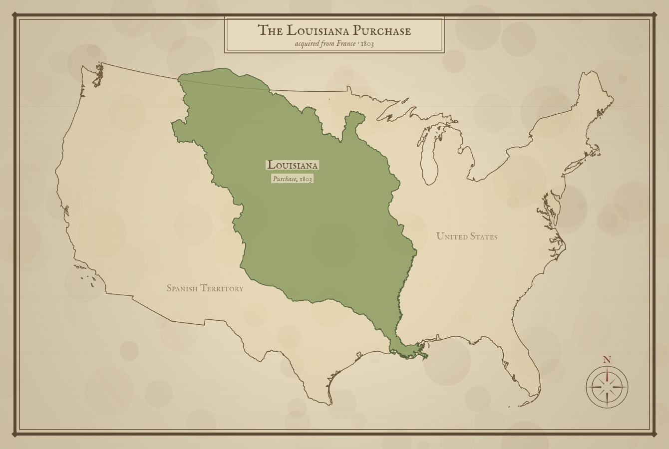
The shaded region follows the actual historical boundary of the 1803 Louisiana Purchase.
About This US Map
Free printable Louisiana Purchase map showing the real 1803 territory the United States bought from France, drawn in a classic antique style over the present-day United States.
The History Behind This Map
In 1803 the United States bought the Louisiana Territory from France for about $15 million — roughly 828,000 square miles that nearly doubled the size of the young nation. It stretched from the Mississippi River west to the Rocky Mountains, and from the Gulf of Mexico north to present-day Canada.
President Thomas Jefferson had sent envoys to Paris hoping only to buy the port of New Orleans. Napoleon Bonaparte, needing money for war in Europe and having lost his foothold in the Caribbean, offered the entire territory instead — one of the great bargains in history.
The purchase opened the continent to westward expansion and set the stage for the Lewis and Clark Expedition, which set out in 1804 to explore it. All or part of fifteen present-day states were eventually carved from the territory. The shaded area on this map follows the actual purchase boundary, not modern state lines.
How to Use
Print this map on standard US Letter paper (8.5" × 11"). Click "Download PDF" for a print-ready file that automatically fits your page in the right orientation, or "Download PNG" for the high-resolution image file.
Frequently Asked Questions
What was the Louisiana Purchase?
In 1803 the United States bought about 828,000 square miles of land west of the Mississippi River from France for $15 million, roughly doubling the size of the country.
Which modern states came from the Louisiana Purchase?
All or part of 15 states, including Louisiana, Arkansas, Missouri, Iowa, Kansas, Nebraska, Oklahoma, the Dakotas, and parts of Minnesota, Montana, Wyoming, Colorado, and New Mexico.