 Printable Scholar
Native American Tribes Map
A free printable map of the culture areas of Native North America, drawn on real terrain, with each area in its own color and some of the Native nations of each named in its homeland: the Haudenosaunee, Lakota, Diné, Cherokee, Tlingit, Hopi and many more. It comes in color, in black and white, and blank.

Choose your version
Black and white, color or blank.
All three are free PDFs sized for US Letter paper.

Black and white
Every culture area and nation named on a plain outline map with dark borders and no terrain. No color ink needed.
downloadBlack and white PDF
Color
Each culture area in its own color on shaded relief, with Native nations, rivers and seas named.
downloadColor PDF
Blank
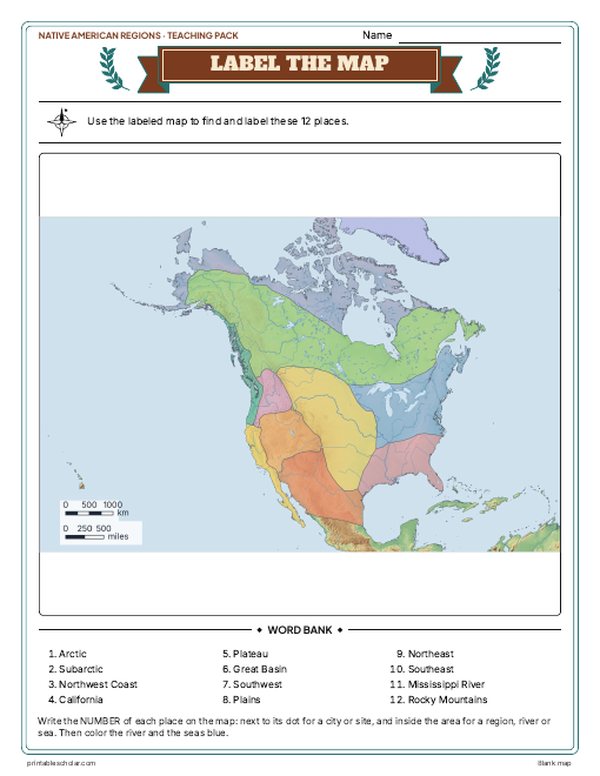
The culture area borders with no names, for labeling practice.
downloadBlank PDF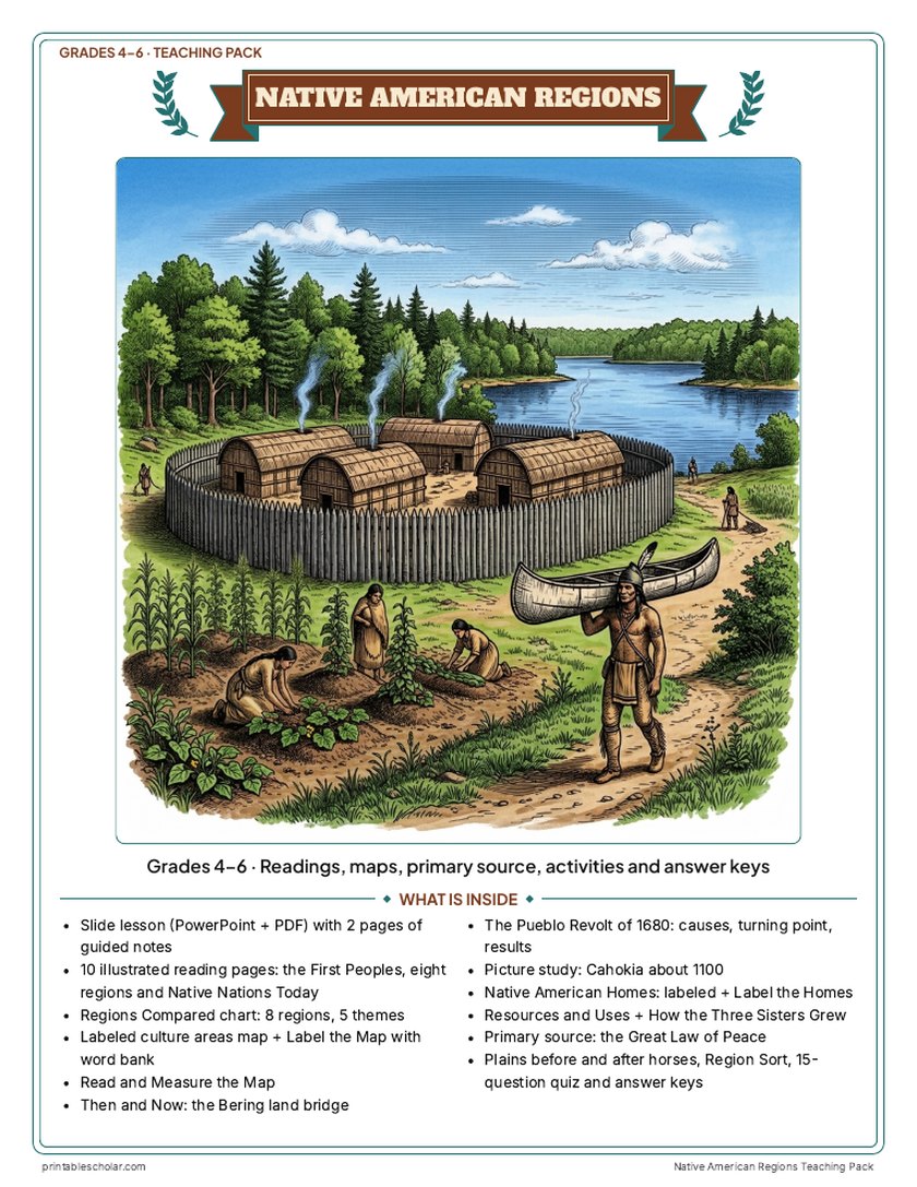
Teaching pack · Grades 4–6
Teaching Native American Regions? The whole unit, ready to teach.
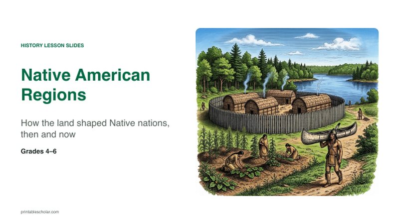
Two weeks of lessons in one download: slides to present, notes for students to fill in, and printable pages that use these maps and pictures.
Every slide comes with teacher notes: what to say, what to ask, and sample answers.
- 48 lesson slides (PowerPoint you can edit) and 2 pages of guided notes
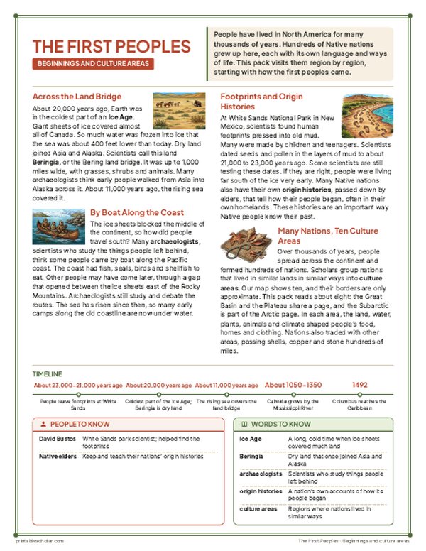
- 10 illustrated reading pages: the first peoples, the Arctic, Northwest Coast, California, Great Basin and Plateau, Southwest, Plains, Northeast, Southeast, and Native nations today, plus a Regions Compared chart
- Maps: a labeled culture-areas map, a blank map with word bank, Read and Measure the Map, and Then and Now: the Bering land bridge
- Activities: a Cahokia picture study, Native American homes (labeled and blank), how the Three Sisters grew, resources and uses, the Pueblo Revolt of 1680 (causes and results), the Great Law of Peace as a primary source, Plains life before and after horses, and a region sort
- A 15-question quiz, a teacher guide with a two-week plan, and answer keys for everything
Every answer is in the pack. The readings, slides, maps and pictures teach everything the sheets and quiz ask, so no textbook is needed.
Get the Native American Regions pack for $7Teaching more than one? Get all six US history packs (Native American Regions, the 13 Colonies, the American Revolution, the Constitution, Westward Expansion and the Civil War) for $29: about twelve weeks of lessons.
Get all 6 packs for $29See all six packsOr get every history pack (20) in one download:Get all 20 for $49
One-time purchase. Instant download. Color and ink-saving black-and-white editions. Secure checkout by Stripe.
Native nations and culture areas
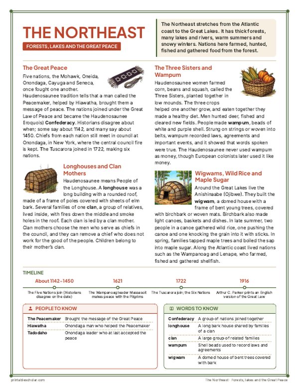
Before Europeans arrived, hundreds of Native nations lived across North America, each with its own language, government and way of life. Scholars group nations that lived in similar lands in similar ways into culture areas. This map uses the ten areas of the Smithsonian Handbook of North American Indians, north of Mesoamerica. Land and climate shaped each area’s food, homes and clothing: whale and seal hunting in the Arctic, cedar plank houses and salmon on the Northwest Coast, acorns in California, pinyon nuts and small game in the Great Basin, adobe pueblos and corn in the Southwest, buffalo on the Plains, and longhouses, wigwams and the Three Sisters crops of corn, beans and squash in the Eastern Woodlands. The areas are a way to study and compare, not borders anyone drew at the time: nations traded, travelled and moved, and many moved again after Europeans came. Most of these nations are still here today.
On the map
- Arctic: Inuit, Inupiat, Yupik and Unangan peoples
- Northwest Coast: Tlingit, Haida, Kwakwaka’wakw, Chinook
- Plains: Lakota, Cheyenne, Pawnee, Mandan, Comanche, Blackfoot
- Southwest: Hopi, Zuni, the Rio Grande Pueblos, Diné (Navajo), Apache
- Northeast: Haudenosaunee (Iroquois), Anishinaabe (Ojibwe), Lenape, Wampanoag
- Southeast: Cherokee, Muscogee (Creek), Choctaw, Chickasaw
- Cahokia: the largest ancient city north of Mexico, near today’s St. Louis
Find it on the map
- The huge Subarctic forest stretching from Alaska to Labrador
- The narrow Northwest Coast between the mountains and the Pacific
- The Plains in the middle of the continent, from Canada almost to the Gulf of Mexico
Culture areas after the Smithsonian Handbook of North American Indians (general editor William C. Sturtevant). All borders are approximate: the areas are a scholars’ grouping, and nations along an edge shared ways of life with both sides. Nation names are placed in each nation’s homeland about 1600 to 1800; many nations moved, especially on the Plains after horses spread there in the 1700s. Coastlines and rivers are shown as they are today.
Frequently asked questions
What are the Native American culture areas?
Culture areas group Native nations that lived in similar environments in similar ways. The Smithsonian Handbook of North American Indians uses ten north of Mexico: the Arctic, Subarctic, Northwest Coast, California, Plateau, Great Basin, Southwest, Plains, Northeast and Southeast. Many classrooms teach eight, joining the Plateau with the Great Basin and leaving out the Subarctic.
How many Native American tribes were there?
There were several hundred nations, speaking hundreds of languages, when Europeans arrived. Today the United States government recognizes more than 570 tribal nations, and Canada more than 600 First Nations, plus the Inuit and the Métis.
Are the borders on the map real?
No. They are approximate lines scholars use to compare ways of life. Native nations had their own homelands, and they traded and travelled far beyond them. The map places each named nation in its homeland about 1600 to 1800, but many nations moved, some by choice and many by force.
Why are some nations shown with two names?
Many nations have their own name and a name other people gave them, which is often the better-known one: the Haudenosaunee are also called the Iroquois, the Diné the Navajo, and the Anishinaabe the Ojibwe or Chippewa. The map gives the nation’s own name first.