Printable Scholar
Original 13 States Map
A free printable map of the original 13 states as they were in 1790, each numbered in the order it ratified the Constitution, with the dates and votes beside the map. It shows the Northwest and Southwest Territories, Vermont, and the land Spain and Britain held around the new country. It comes in color, in black and white, and blank for labeling.

Choose your version
Black and white, color or blank.
All three are free PDFs sized for US Letter paper.

Black and white
Everything named, with gray shading and patterns in place of the colors. No color ink needed.
downloadBlack and white PDF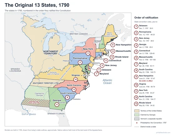
Color
Every state numbered in ratification order, with dates and votes, in color.
downloadColor PDF
Blank
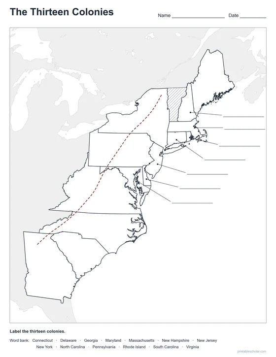
Outlines only, with a word bank of the 13 states, for students to label.
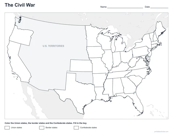
downloadBlank PDF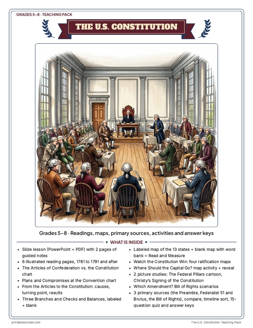
Teaching pack · Grades 5–8
Teaching the U.S. Constitution? The whole unit, ready to teach.
Two weeks of lessons in one download: slides to present, notes for students to fill in, and printable pages that use these maps and pictures.
- 38 lesson slides (PowerPoint you can edit, teacher notes on every slide) and 2 pages of guided notes
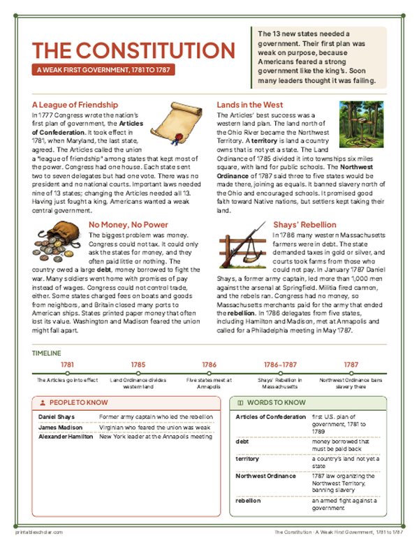
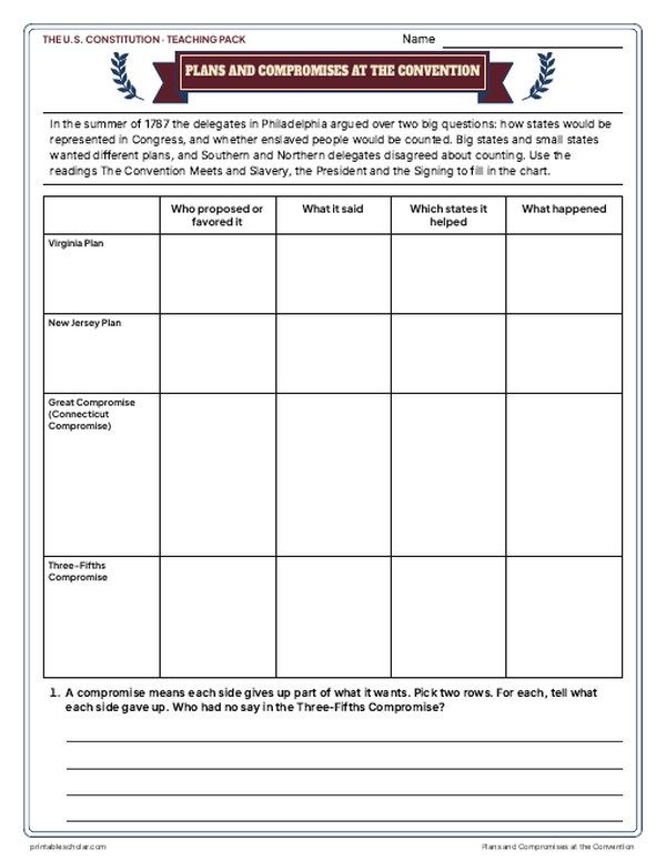
- 6 illustrated reading pages, 1781 to 1791, an Articles vs. Constitution chart, a Plans and Compromises chart and a causes sheet
- Three Branches and Checks and Balances (study page + practice), Which Amendment? Bill of Rights scenarios
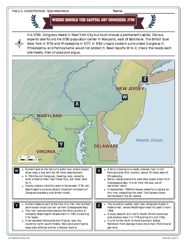
- Maps: the 13 states in 1790, labeled and blank, Read and Measure the Map, four ratification maps, and Where Should the Capital Go? with the reveal
- Primary sources: the Preamble, Federalist No. 51 beside Brutus No. 1, and the Bill of Rights, each with plain English beside it; picture studies of the 1788 Federal Pillars cartoon and Christy's Signing painting
- Federalists vs. Anti-Federalists, a timeline sort, a 15-question quiz, a teacher guide with a two-week plan, and answer keys for everything
Every answer is in the pack. The readings, slides, maps and pictures teach everything the sheets and quiz ask, so no textbook is needed.
Get the U.S. Constitution pack for $7Teaching more than one? Get all five US history packs (the 13 Colonies, the American Revolution, the Constitution, Westward Expansion and the Civil War) for $24: about ten weeks of lessons.
Get all 5 packs for $24One-time purchase. Instant download. Color and ink-saving black-and-white editions. Secure checkout by Stripe.
About the original 13 states map
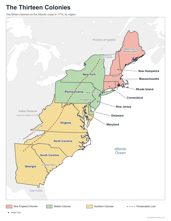
The original 13 states were the 13 British colonies that declared independence in 1776: New Hampshire, Massachusetts, Rhode Island, Connecticut, New York, New Jersey, Pennsylvania, Delaware, Maryland, Virginia, North Carolina, South Carolina and Georgia. After the Revolution they were joined first by the Articles of Confederation and then, from 1789, by the Constitution.
The Constitution needed nine states to approve it, or ratify it, before it could take effect. Delaware was first, on December 7, 1787. New Hampshire became the ninth on June 21, 1788, and the new government started in 1789. North Carolina waited until November 1789, after Congress proposed the Bill of Rights, and Rhode Island was last, on May 29, 1790, by just two votes.
In 1790 the states did not look exactly like they do today. Maine was part of Massachusetts, and Kentucky and what is now West Virginia were part of Virginia. North Carolina had just handed its western land to the United States, which made it the Southwest Territory, later Tennessee. Georgia still claimed land west to the Mississippi River. Vermont was a separate republic until it joined as the 14th state in 1791. North of the Ohio River lay the Northwest Territory, set up in 1787, where Native nations held most of the land.

Pair it with a timeline
Add the dates to the geography with the free printable Constitutional Convention Timeline.
Constitutional Convention TimelineFind it on the map
- The numbers 1 to 13: the order the states ratified the Constitution
- Philadelphia, where the Constitution was written in 1787
- The Northwest Territory north of the Ohio River
- Vermont, a separate republic until 1791
Borders are shown as held in 1790, drawn from today’s state outlines, and are approximate. Coastlines and rivers are today’s. Native nations held most of the land west of the Appalachian Mountains.
Frequently asked questions
What were the original 13 states?
New Hampshire, Massachusetts, Rhode Island, Connecticut, New York, New Jersey, Pennsylvania, Delaware, Maryland, Virginia, North Carolina, South Carolina and Georgia: the 13 colonies that declared independence from Britain in 1776.
In what order did the states ratify the Constitution?
Delaware, Pennsylvania, New Jersey, Georgia, Connecticut, Massachusetts, Maryland, South Carolina, New Hampshire, Virginia, New York, North Carolina and Rhode Island, from December 7, 1787, to May 29, 1790. The map numbers each state in that order.
Which state was the first state?
Delaware, which ratified the Constitution on December 7, 1787, which is why it is called the First State. Its convention voted 30 to 0.
Why are Maine and Kentucky not on the list?
In 1790 Maine was part of Massachusetts and Kentucky was part of Virginia. Kentucky became a state in 1792 and Maine in 1820.