Printable Scholar
How the 13 Colonies Grew: Maps from 1607 to 1775
Six printable maps of the same stretch of coast, from Jamestown in 1607 to the eve of the Revolution in 1775. Each one shows the land colonists had settled by that year, the Native nations living around them, and a picture strip of what happened. Every map comes in color and in black and white.

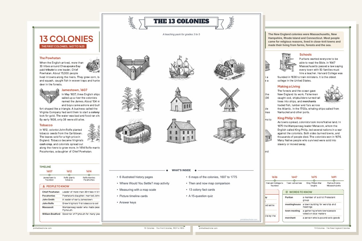
The 13 Colonies Teaching Pack, $5
These six maps plus six illustrated history pages, Where Would You Settle?, colony fact cards, picture timeline cards, a quiz and answer keys. 27 pages, color and black and white.
See the packOne map for each stage
From one fort to thirteen colonies.
Free PDFs sized for US Letter paper. The black and white versions use shades of gray and print clearly on any printer.

1607
One fort on the James River
Jamestown is founded. Every other part of the map belongs to Native nations.

1625
A few footholds
Virginia, the Pilgrims at Plymouth, fishing posts in New Hampshire, and the Dutch on the Hudson. Disease has already emptied much of the New England coast.

1650
English, Dutch and Swedish
New England fills in. The Dutch hold New Netherland and the Swedes a fort on the Delaware.

1700
A band along the coast
New Netherland is now New York and New Jersey. Pennsylvania and Carolina have begun.

1733
Thirteen colonies
Georgia is founded, the thirteenth colony. Settlers move inland up the rivers.

1775
Up to the mountains
About 2.5 million colonists reach the Appalachians on the eve of the Revolution.
Reading the maps
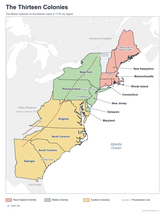
One map of the thirteen colonies shows where they ended up. These six show how they got there. In 1607 there is a single English fort on the James River. By 1650 there are English, Dutch and Swedish colonies along the coast. By 1700 a narrow band of farms and towns runs from Maine to Carolina, and by 1775 settlement reaches the Appalachian Mountains.
The colored areas are the land colonists had actually settled, not the land their charters claimed. A charter might stretch hundreds of miles inland on paper, but people lived along the coast and the rivers. The shapes are approximate: they are drawn around the towns and plantations founded by each date.
Native nations are written where they lived. They are names, not borders, because their lands were not fixed lines on a map. A village picture marks each nation. When a nation’s people and land had been greatly reduced by a date, its name is printed smaller and paler on that map.
Ways to use them in class
- Put the six maps in order and describe what changes from one to the next
- Compare two maps side by side: which colonies are new, and where did settlers move?
- Use the scale bar to measure how far settlement had spread inland by 1775
- Match each picture in the "What happened" strip to a place on the map
- Find the Native nations that appear on every map, and the ones that fade
On every map
- Land settled by colonists, colored by region
- Native nations, with a village picture for each
- The main towns of the time
- A compass rose and a 100-mile scale bar
- A "What happened" strip of the key events
Coastlines, rivers and lakes are from Natural Earth. Settled areas are drawn around towns and plantations by their founding dates, so they are approximate.
Frequently asked questions
What was the first English colony?
Jamestown, Virginia, founded in 1607, was the first lasting English colony in North America. An earlier English colony on Roanoke Island was founded in 1587 and had disappeared by 1590. Spain had founded St. Augustine in Florida in 1565.
What was the last of the 13 colonies?
Georgia, founded in 1733 when James Oglethorpe and the first colonists arrived at Savannah. The 1733 map is the first one in the set with all thirteen colonies.
Why are the colonies not shown as whole states?
Because most of the land inside a colony’s borders was not settled yet. The colored areas show where colonists actually lived at each date, so students can see settlement spread from the coast inland over time.
Why are Native nations shown as names instead of borders?
Native nations did not divide the land with fixed lines the way the colonies did, and their lands overlapped and changed. Writing each nation’s name where its people lived is more accurate than drawing a border.
Is there a black and white version?
Yes. Every map has a black and white PDF that uses shades of gray instead of color, so it prints clearly on any school printer.
What grade are these maps for?
They fit the colonial America unit, usually taught in grades 3 to 5, and work well as a review in middle school.