 Printable Scholar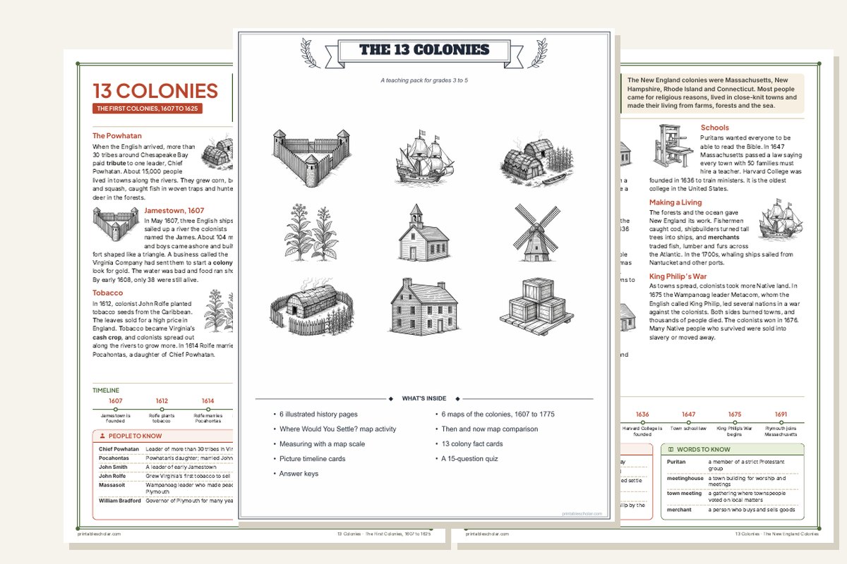
The 13 Colonies Teaching Pack
A complete colonial America unit in one file: illustrated history pages to read, maps that show the colonies growing, and activities that make students think with a map.
- 6 illustrated history pages, from Jamestown to Lexington and Concord, each with a timeline, people to know and words to know
- 6 maps of the colonies, 1607 to 1775
- Where Would You Settle?, Then and Now, and Measure the Map activities
- 13 colony fact cards, 28 picture timeline cards and a 15-question quiz
- Answer keys for every activity
- 27 pages. Two print-ready PDFs: color, and ink-saving black and white
Look inside: 12 of the 27 pages
Read it, map it, decide.
Every reading page has its pictures, timeline and vocabulary. Every activity is built on real maps, and every answer is in the key.

And 15 more pages: the cover, three more history pages (the Middle Colonies, the Southern Colonies and the Road to Revolution), four more maps, Then and Now, the rest of the fact cards and timeline cards, the second quiz page and the answer keys.
What is in the pack
To read
- The First Colonies, 1607 to 1625
- The New England Colonies
- The Middle Colonies
- The Southern Colonies
- The People Already Here: the Native nations of the east coast
- The Road to Revolution, 1754 to 1775
- Six maps showing the colonies in 1607, 1625, 1650, 1700, 1733 and 1775
To do
- Where Would You Settle? Choose a site for Jamestown from four real places, then find out what happened
- Then and Now: compare the colonies in 1650 and 1700
- Measure the Map: distances between colonial towns with the scale bar
- 13 colony fact cards to cut out and sort, and a blank card
- Picture timeline cards from 1565 to 1775, to put in order
- A 15-question quiz, with answer keys for everything
Free: The First Colonies history page
The first reading page in the pack, free to print in color or black and white.
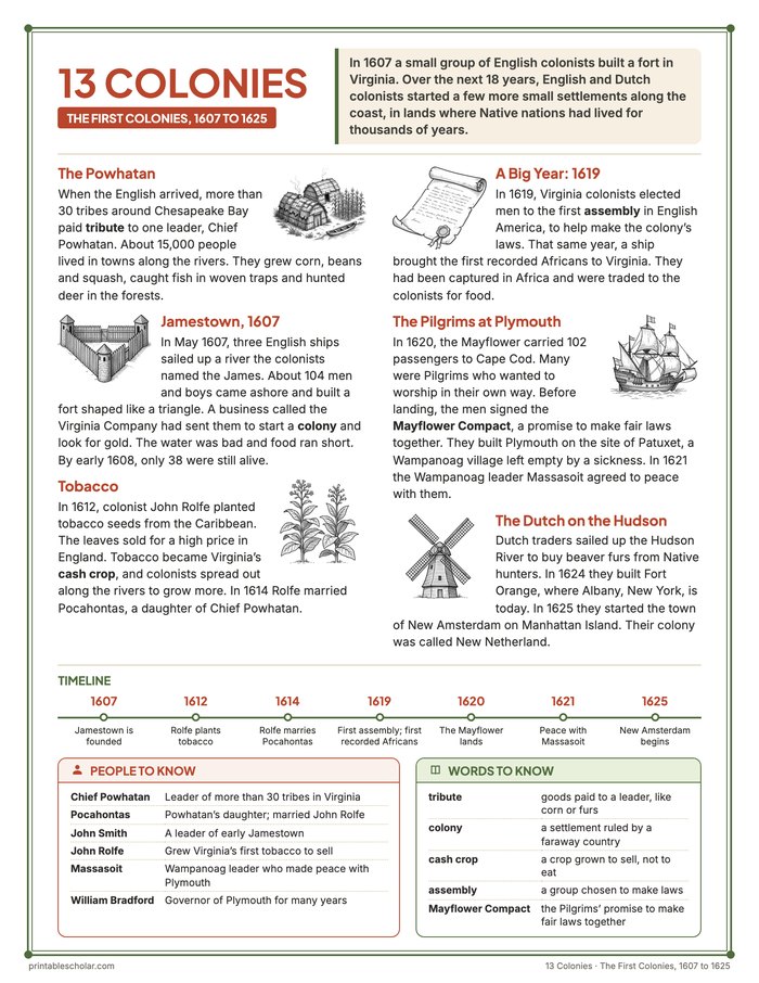
The Powhatan
When the English arrived, more than 30 tribes around Chesapeake Bay paid tribute to one leader, Chief Powhatan. About 15,000 people lived in towns along the rivers. They grew corn, beans and squash, caught fish in woven traps and hunted deer in the forests.
Jamestown, 1607
In May 1607, three English ships sailed up a river the colonists named the James. About 104 men and boys came ashore and built a fort shaped like a triangle. A business called the Virginia Company had sent them to start a colony and look for gold. The water was bad and food ran short. By early 1608, only 38 were still alive.
Tobacco
In 1612, colonist John Rolfe planted tobacco seeds from the Caribbean. The leaves sold for a high price in England. Tobacco became Virginia’s cash crop, and colonists spread out along the rivers to grow more. In 1614 Rolfe married Pocahontas, a daughter of Chief Powhatan.
A Big Year: 1619
In 1619, Virginia colonists elected men to the first assembly in English America, to help make the colony’s laws. That same year, a ship brought the first recorded Africans to Virginia. They had been captured in Africa and were traded to the colonists for food.
The Pilgrims at Plymouth
In 1620, the Mayflower carried 102 passengers to Cape Cod. Many were Pilgrims who wanted to worship in their own way. Before landing, the men signed the Mayflower Compact, a promise to make fair laws together. They built Plymouth on the site of Patuxet, a Wampanoag village left empty by a sickness. In 1621 the Wampanoag leader Massasoit agreed to peace with them.
The Dutch on the Hudson
Dutch traders sailed up the Hudson River to buy beaver furs from Native hunters. In 1624 they built Fort Orange, where Albany, New York, is today. In 1625 they started the town of New Amsterdam on Manhattan Island. Their colony was called New Netherland.
Free colonies maps
The six maps in the pack are free to print on their own, in color or black and white: How the 13 Colonies Grew, 1607 to 1775.