 Printable Scholar
Transcontinental Railroad Map
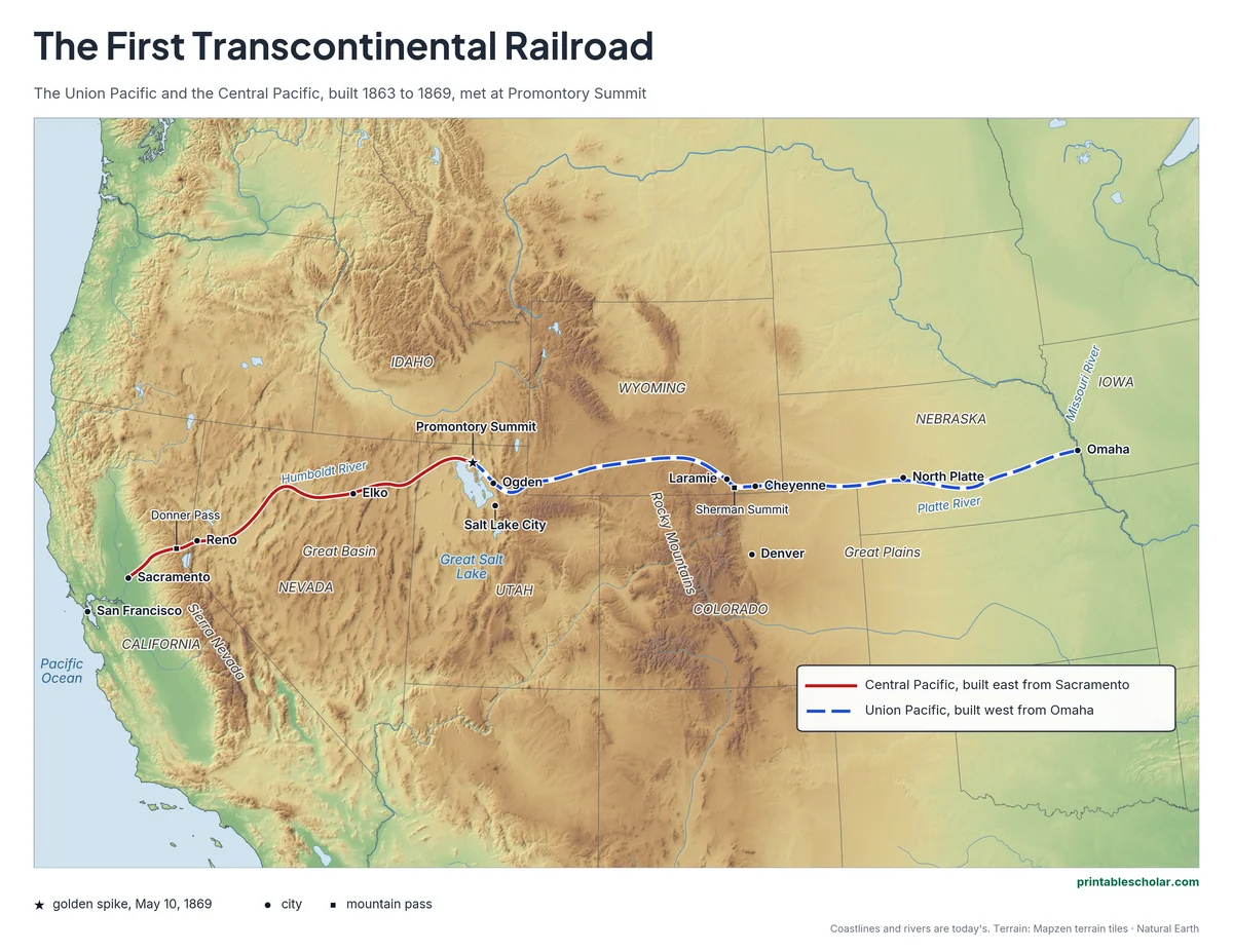
A free printable map of the first transcontinental railroad drawn on real terrain: the Central Pacific built east from Sacramento over the Sierra Nevada, the Union Pacific built west from Omaha across the Great Plains and the Rockies, and Promontory Summit, Utah, where they met in 1869. It comes in color, black and white, and blank.
Choose your version
Black and white, color or blank.
All three are free PDFs sized for US Letter paper.

Black and white
Everything named on a plain outline map with no terrain. No color ink needed.
downloadBlack and white PDF
Color
Both lines, the golden spike, towns and passes named, on shaded relief.
downloadColor PDF
Blank
The black-and-white map with its routes and markers but no names, for labeling practice.
downloadBlank PDF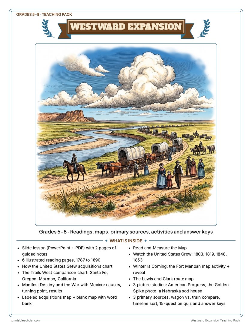
Teaching pack · Grades 5–8
Teaching Westward Expansion? The whole unit, ready to teach.
Two weeks of lessons in one download: slides to present, notes for students to fill in, and printable pages that use these maps and pictures.
Every slide comes with teacher notes: what to say, what to ask, and sample answers.
- 43 lesson slides (PowerPoint you can edit) and 2 pages of guided notes
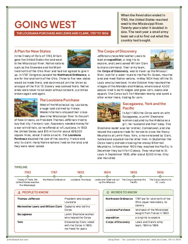
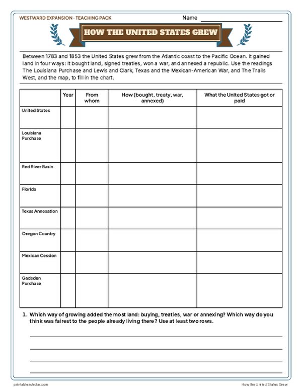
- 6 illustrated reading pages, 1787 to 1890, a How the United States Grew chart, a Trails West chart and a Manifest Destiny and the War with Mexico sheet
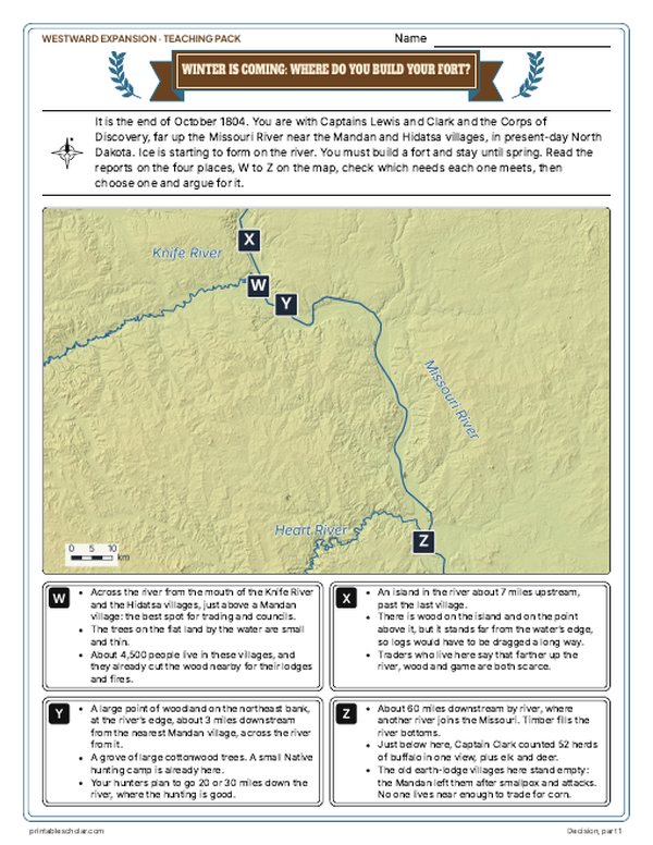
- Maps: labeled, blank, Read and Measure the Map, the United States in 1803, 1819, 1848 and 1853, the Lewis and Clark route, and a Fort Mandan decision with the reveal
- Primary sources: Clark's journal in the Bitterroots, O'Sullivan's Manifest Destiny beside a reply in Congress, and the Indian Removal Act beside John Ross's answer, each with plain English beside it; picture studies of Gast's American Progress, the 1869 Golden Spike photo and an 1886 sod house photo
- Wagon vs. train, a timeline sort, a 15-question quiz, a teacher guide with a two-week plan, and answer keys for everything
Every answer is in the pack. The readings, slides, maps and pictures teach everything the sheets and quiz ask, so no textbook is needed.
Get the Westward Expansion pack for $7Teaching more than one? Get all seven US history packs (Native American Regions, the Age of Exploration, the 13 Colonies, the American Revolution, the Constitution, Westward Expansion and the Civil War) for $34: about fourteen weeks of lessons.
Get all 7 packs for $34See all seven packsOr get every history pack (24) in one download:Get all 24 for $49
One-time purchase. Instant download. Color and ink-saving black-and-white editions. Secure checkout by Stripe.
The 10-day plan
10 lessons, each planned for one class period of about 45 to 50 minutes, straight from the teacher guide. Some days are fuller than others; the note below shows how to even them out.
- Day 1Hook: Where would you build the fort?
- Day 2The Louisiana Purchase and Lewis and Clark
- Day 3The Lewis and Clark route and Clark's journal
- Day 4Native nations and removal
- Day 5Texas and the war with Mexico
- Day 6The trails west
- Day 7The Gold Rush, the war with Mexico sheet and the growth maps
- Day 8Railroads, homesteads and the Plains
- Day 9The American Progress painting, wagon vs. train, timeline sort
- Day 10Review and the 15-question quiz
Fitting it to your schedule: Days 7 and 8 are the fullest and Days 3 and 9 the lightest. With 10 periods, move the Manifest Destiny and the War with Mexico sheet from Day 7 to Day 5, where that war is taught. With 8 periods, read Clark's Bitterroot journal at the end of Day 2 and give the Day 3 route map as homework; then give wagon vs. train as homework and use the timeline sort to open the Day 10 review.
See the full day-by-day plan
- Day 1
- Hook: Winter Is Coming: Where Do You Build Your Fort? Students read the reports, fill in the needs checklist and argue for a place. Save What Really Happened for Day 2.
- Day 2
- Slides and reading: The Louisiana Purchase and Lewis and Clark, with guided notes page 1. Reveal: What Really Happened; compare with Day 1. Start How the United States Grew (1783, 1803 rows).
- Day 3
- The Lewis and Clark Route map sheet. Primary source: Crossing the Bitterroot Mountains.
- Day 4
- Slides and reading: Native Nations and Removal. Primary source: The Indian Removal Act and a Cherokee Answer.
- Day 5
- Slides and reading: Texas and the Mexican-American War. Primary source: Manifest Destiny: Who Has the Right?
- Day 6
- Slides and reading: The Trails West, with guided notes page 2. The Trails West chart. Finish How the United States Grew.
- Day 7
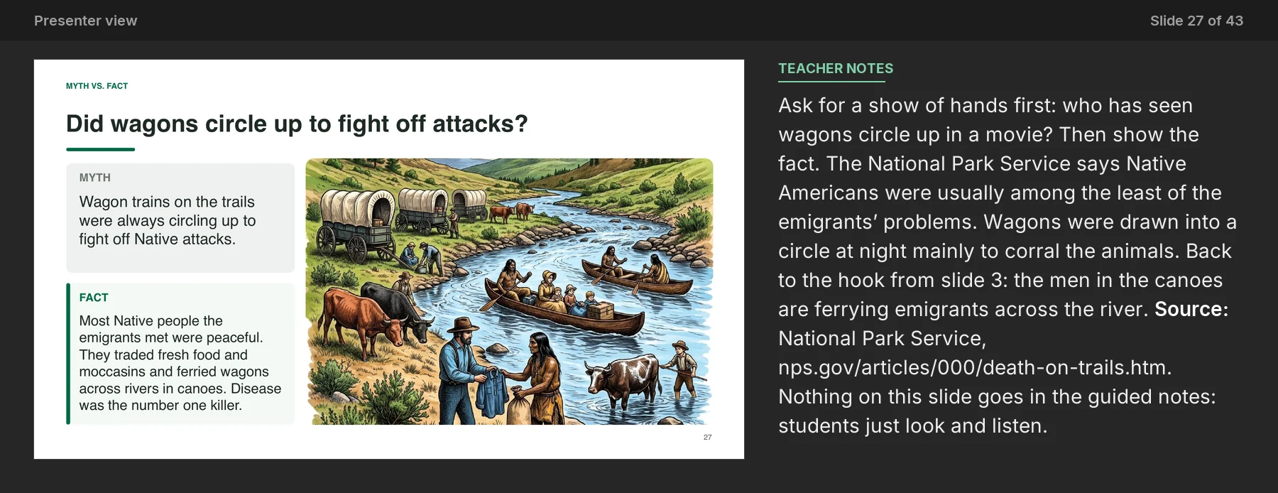
- Slides and reading: The Gold Rush. Manifest Destiny and the War with Mexico (causes, turning point, results). Labeled map, blank map with word bank and Watch the United States Grow.
- Day 8
- Slides and reading: Railroads, Homesteads and the Plains. Read and Measure the Map. Picture studies: East and West Shaking Hands and A Sod House in Nebraska.
- Day 9
- Picture study: American Progress. Going West: By Wagon or by Train? compare sheet. Timeline sort.
- Day 10
- Slides: the Who am I? riddle and the exit question; finish guided notes. 15-question quiz. Check every sheet with the keys.
The first transcontinental railroad
In 1862 President Abraham Lincoln signed the Pacific Railway Act, which gave two companies land and loans to build a railroad across the western United States. The Central Pacific started in Sacramento, California, in 1863 and built east. Its crews, most of them immigrants from China, blasted tunnels through the granite of the Sierra Nevada near Donner Pass, working through deep winter snow, then laid track quickly across the flat Great Basin of Nevada. The Union Pacific started in Omaha, Nebraska, and built west across the Great Plains along the Platte River, over the Rocky Mountains at Sherman Summit, the highest point on the line, and down into Utah. Its crews included many Irish immigrants and Civil War veterans. On May 10, 1869, the two lines met at Promontory Summit, Utah, where Leland Stanford drove a ceremonial golden spike. The news went out by telegraph across the country. A trip from coast to coast that had taken months by wagon or ship now took about a week, and towns grew up along the line from Cheyenne to Reno.
On the map
- Sacramento: where the Central Pacific started, 1863
- Donner Pass: the hardest stretch, through the Sierra Nevada
- Omaha: where the Union Pacific started, 1865
- Sherman Summit: the highest point on the line, in the Rocky Mountains
- Promontory Summit, Utah: where the lines met on May 10, 1869
- Cheyenne, Laramie, Ogden, Reno and Elko: towns that grew along the railroad
Find it on the map
- The Central Pacific crossing the Sierra Nevada right after leaving Sacramento
- The Union Pacific following the Platte River across Nebraska
- Promontory Summit, north of the Great Salt Lake
The lines are drawn through the towns and passes on the 1869 route and are approximate between them. In 1869 another line linked Sacramento to Oakland on San Francisco Bay. Modern state lines are shown for reference. Coastlines and rivers are shown as they are today.
Frequently asked questions
Where did the transcontinental railroad start and end?
The Central Pacific started in Sacramento, California, and the Union Pacific in Omaha, Nebraska. They met at Promontory Summit, Utah, on May 10, 1869.
Who built the transcontinental railroad?
The Central Pacific was built mostly by workers from China, and the Union Pacific mostly by Irish immigrants, Civil War veterans and other laborers.
What was the golden spike?
A ceremonial spike made of gold that Leland Stanford, head of the Central Pacific, drove to join the two lines at Promontory Summit on May 10, 1869. It is now at Stanford University.
How long is the transcontinental railroad?
About 1,900 miles from Omaha to Sacramento: about 1,085 miles of Union Pacific track and about 690 miles of Central Pacific track, plus lines on to the Pacific coast.
Why was the transcontinental railroad important?
It cut a cross-country trip from months to about a week, carried settlers and goods west and crops and cattle east, and helped towns grow across the West.