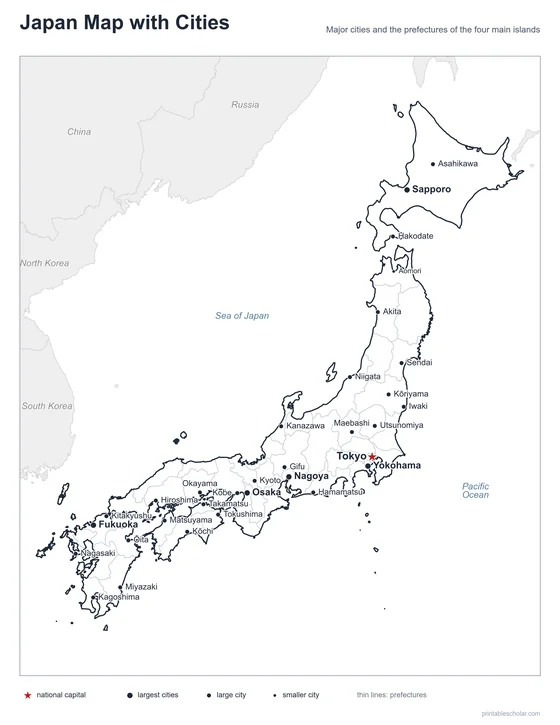
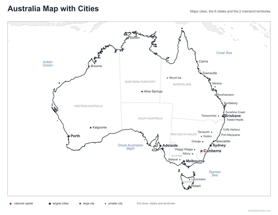
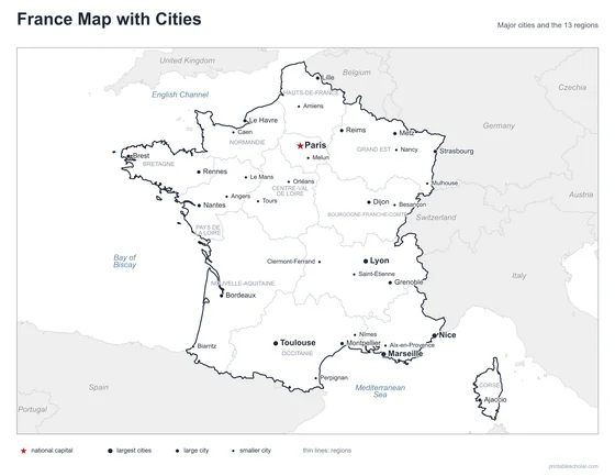
Canada Map with Cities
A free printable map of Canada with its major cities: Ottawa, Toronto, Montreal and 29 more. The capital is starred and the 10 provinces and 3 territories are outlined. It comes labeled and blank.

Choose your version
Labeled or blank.
Both are free PDFs sized for US Letter paper.
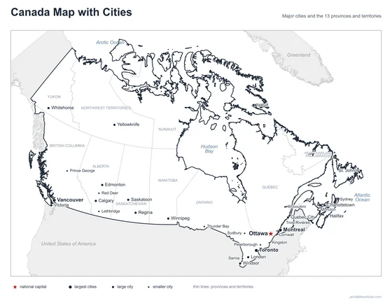
Labeled
Cities named, the capital starred, neighboring countries in gray.
downloadLabeled PDF
Blank
The same outline and city dots with no names, for labeling practice.
downloadBlank PDFThe cities of Canada
Canada is the second largest country in the world by area, stretching from the Atlantic Ocean to the Pacific and north to the Arctic Ocean. Most Canadians live in the south, within a few hundred miles of the United States border. Ottawa, the capital, is in Ontario. Toronto, the largest city, is on Lake Ontario, and Montreal and Quebec City are on the St. Lawrence River. Calgary and Edmonton are in Alberta, and Vancouver is on the Pacific coast. The three territories of the north have very few people.
The 32 cities on the map
- Toronto, Montreal, Vancouver, Ottawa, Calgary, Edmonton, Winnipeg, Quebec City, Halifax, Victoria, Saskatoon, Regina, St. John’s, Charlottetown, Whitehorse, Yellowknife, Iqaluit, London, Windsor, Sudbury, Sarnia, Trois-Rivières, Kingston, Thunder Bay, Moncton, Peterborough, Red Deer, Lethbridge, Prince George, Chicoutimi, Cornwall, Sydney
Find it on the map
- Ottawa, the capital, between Toronto and Montreal
- Vancouver and Victoria on the Pacific coast
- Whitehorse, Yellowknife and Iqaluit, the three territorial capitals
Boundaries and city locations are from Natural Earth. Dot sizes show roughly how large each city is.