Real cartographic data
New England States Map
Free printable maps of the 6 states of New England. The labeled map names every state and its capital. The blank map shows the outlines and capital stars for students to fill in.

Choose your version
Labeled or blank.
Both are free PDFs sized for US Letter paper.
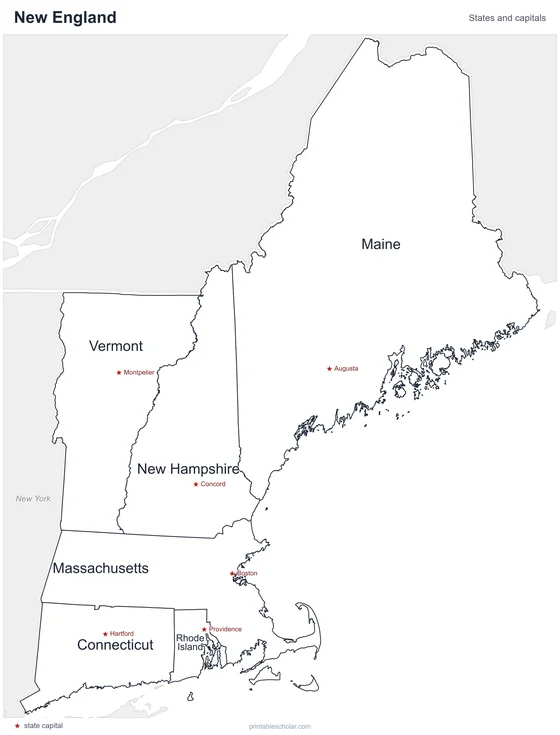
Labeled
Every state and capital named.
downloadLabeled PDF
Blank
State outlines and capital stars, with a name line, for quizzes.
downloadBlank PDFThe New England states
New England is the six states in the northeast corner of the country. Maine is by far the largest, nearly as big as the other five together. Rhode Island is the smallest state in the nation. The region has a rocky Atlantic coast, the White Mountains of New Hampshire and the Green Mountains of Vermont. Boston, the capital of Massachusetts, is its largest city.
States and capitals
- Connecticut: Hartford
- Maine: Augusta
- Massachusetts: Boston
- New Hampshire: Concord
- Rhode Island: Providence
- Vermont: Montpelier
Find it on the map
- Cape Cod, the hook of land on the Massachusetts coast
- Maine in the north, larger than the rest
- Tiny Rhode Island on the south coast