Printable Scholar
US Rivers Map
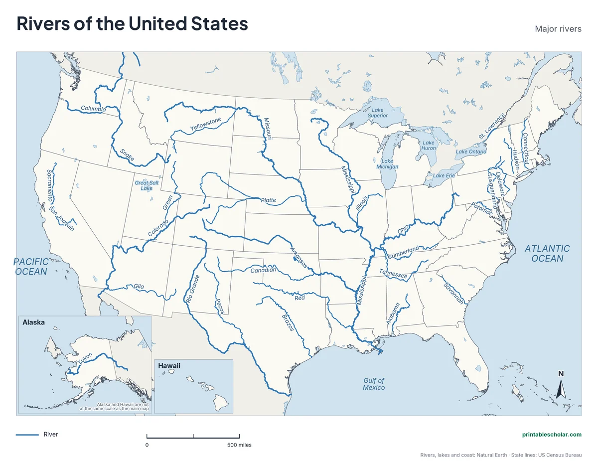
A free printable map of the major rivers of the United States. It names 29 rivers, including the Mississippi, Missouri, Ohio, Colorado, Columbia, Rio Grande and Hudson, plus the Great Lakes and the Yukon in Alaska. It comes in black and white or color, and as a blank map with a word bank for students to label.
Choose your version
Black and white, color or blank.
All three are free PDFs sized for US Letter paper.

Black and white
29 major rivers named, with the Great Lakes, oceans and Alaska and Hawaii insets. No color ink needed.
downloadBlack and white PDF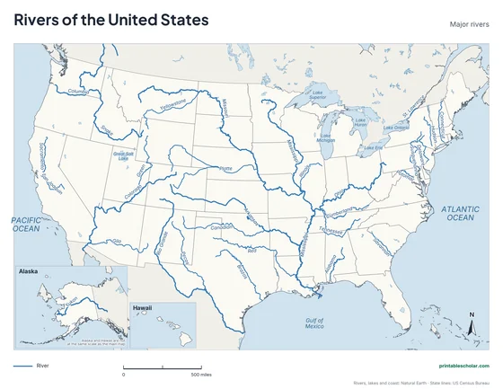
Color
The same map with the rivers and water in blue.
downloadColor PDF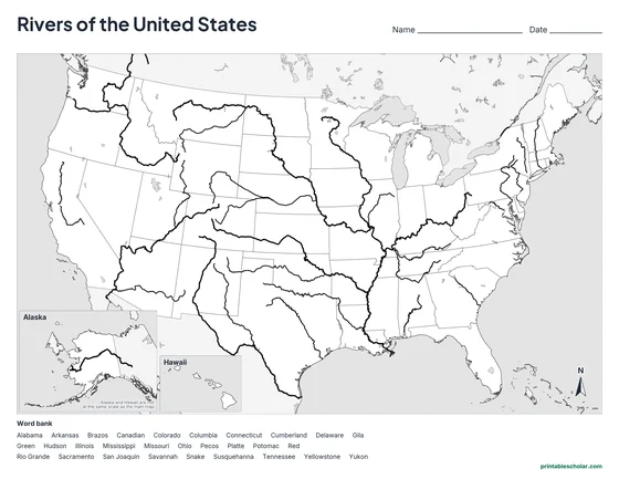
Blank
The same rivers with no names and an alphabetical word bank. Black and white.
downloadBlank PDFThe major rivers of the United States
The Mississippi River is the center of the biggest river system in North America. It starts as a small stream in northern Minnesota and flows south about 2,340 miles to the Gulf of Mexico. Along the way it is joined by two other great rivers: the Missouri, which comes in from the west near St. Louis, and the Ohio, which comes in from the east at Cairo, Illinois. The Missouri is the longest river in the United States, slightly longer than the Mississippi itself.
Rain that falls on almost half of the lower 48 states ends up in the Mississippi. The Arkansas, Red, Platte, Tennessee, Illinois and Cumberland rivers all belong to the same system. On the map, find how many rivers flow toward the middle of the country before turning south.
West of the Rocky Mountains the rivers flow the other way, toward the Pacific Ocean. The line along the top of the Rockies that divides the two directions is called the Continental Divide. The Colorado River, joined by the Green and the Gila, carved the Grand Canyon on its way to the Gulf of California. The Columbia and its partner the Snake drain the Pacific Northwest, and their dams make much of the region’s electricity.
In the East, shorter rivers run from the Appalachian Mountains to the Atlantic Ocean: the Hudson, Delaware, Susquehanna, Potomac and Savannah. Many of the country’s oldest cities grew where these rivers meet the sea. The Rio Grande forms the border between Texas and Mexico, and the Yukon crosses Alaska to the Bering Sea.
Rivers on the map
- Mississippi
- Missouri
- Ohio
- Tennessee
- Arkansas
- Red
- Platte
- Yellowstone
- Snake
- Columbia
- Colorado
- Green
- Gila
- Rio Grande
- Pecos
- Brazos
- Sacramento
- San Joaquin
- Hudson
- Delaware
- Susquehanna
- Potomac
- Connecticut
- Savannah
- Alabama
- Illinois
- Cumberland
- Canadian
- Yukon
Find it on the map
- St. Louis, where the Missouri River joins the Mississippi
- Cairo, Illinois, where the Ohio River joins the Mississippi
- The Colorado River crossing Arizona, through the Grand Canyon
Rivers, lakes and coastlines are from Natural Earth; state lines from the US Census Bureau. Some rivers that run through Canada or Mexico are shown only within or near the United States.
Frequently asked questions
What is the longest river in the United States?
The Missouri River, at about 2,340 miles, just longer than the Mississippi. Together they form the longest river system in North America, more than 3,700 miles from the Rocky Mountains of Montana to the Gulf of Mexico.
What are the major rivers of the United States?
The Mississippi, Missouri, Ohio, Tennessee, Arkansas and Red rivers in the middle of the country; the Colorado, Columbia, Snake and Rio Grande in the West; and the Hudson, Delaware, Susquehanna and Potomac in the East. The Yukon is the major river of Alaska.
Which way do rivers flow in the United States?
East of the Rocky Mountains, most rivers drain into the Mississippi and on to the Gulf of Mexico, or straight into the Atlantic. West of the Continental Divide along the Rockies, rivers flow toward the Pacific Ocean or the Gulf of California.
Which river forms the border between the US and Mexico?
The Rio Grande, along the whole southern border of Texas. West of Texas the border is mostly straight lines drawn across the desert.
How do students use the blank map?
The blank map has the same rivers drawn with no names and an alphabetical word bank of all 29 rivers. Students write each name beside its river. The labeled map is the answer key.