Great Lakes Map
A free printable map of the five Great Lakes: Superior, Michigan, Huron, Erie and Ontario. It shows the eight states and the Canadian province around them, the main lake cities and the border between the United States and Canada. It comes labeled in black and white or in color, and blank.

Choose your version
Black and white, color or blank.
All three are free PDFs sized for US Letter paper.
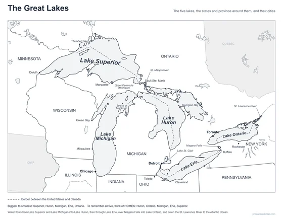
Black and white
The five lakes, eight states, Ontario and 14 cities named. No color ink needed.
downloadBlack and white PDF
Color
The same labeled map with blue water, green states and tan Ontario.
downloadColor PDF
Blank
The same outlines with no names and a word bank. Black and white.
downloadBlank PDFThe five Great Lakes
The Great Lakes are five huge freshwater lakes on the border between the United States and Canada: Superior, Michigan, Huron, Erie and Ontario. Together they hold about one fifth of all the fresh water on the surface of the Earth. Lake Superior is the largest freshwater lake in the world by area. Lake Michigan is the only one that lies entirely inside the United States. The other four are shared with Canada.
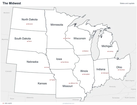
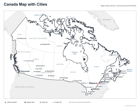
Eight states touch the lakes: Minnesota, Wisconsin, Illinois, Indiana, Michigan, Ohio, Pennsylvania and New York. Michigan touches four of the five, all but Lake Ontario. On the Canadian side, the province of Ontario borders every lake except Lake Michigan.
The lakes are joined, and the water moves from west to east. Lake Superior drains through the St. Marys River into Lake Huron. Lake Michigan and Lake Huron meet at the Straits of Mackinac and sit at the same level. From Lake Huron the water runs past Detroit into Lake Erie, then drops more than 300 feet on its way to Lake Ontario, about half of that in one step at Niagara Falls. The St. Lawrence River carries it from Lake Ontario to the Atlantic Ocean.
The lakes were carved by glaciers. Thick sheets of ice scraped out the basins, and the lakes began to fill when the ice melted, about 14,000 years ago. Today ships carry iron ore, grain and other cargo between ports such as Duluth, Chicago, Detroit, Cleveland and Toronto.
The lakes from largest to smallest
- Lake Superior: about 31,700 square miles
- Lake Huron: about 23,000 square miles
- Lake Michigan: about 22,300 square miles
- Lake Erie: about 9,910 square miles
- Lake Ontario: about 7,340 square miles
Find it on the map
- Lake Michigan, the only lake the dashed border line does not cross
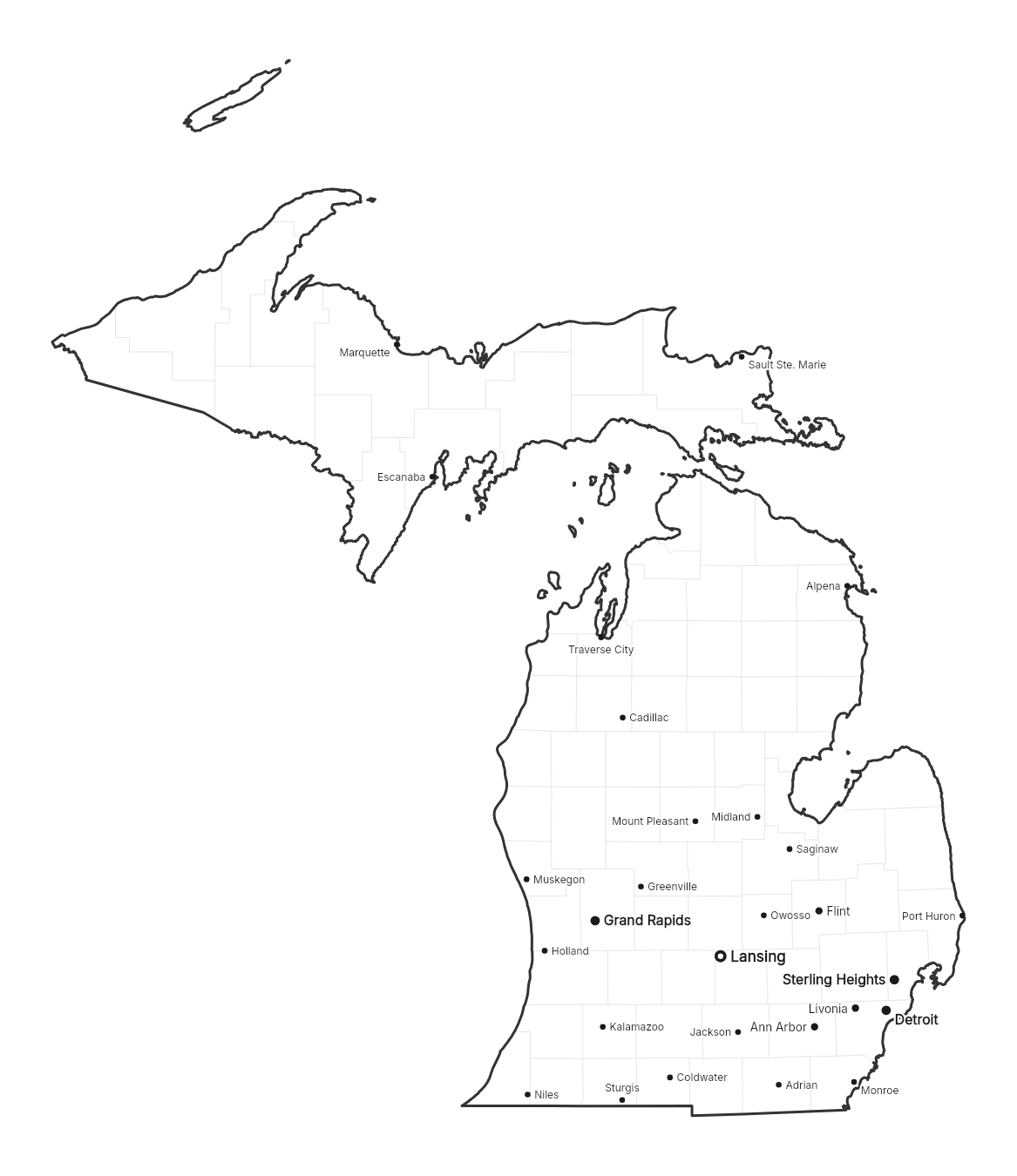
- Michigan, the state that touches four of the five lakes
- Niagara Falls, between Lake Erie and Lake Ontario
Lakes, rivers, state and province lines and the international border are from Natural Earth. Lake areas are from the NOAA Great Lakes Environmental Research Laboratory, rounded.
Frequently asked questions
What are the five Great Lakes?
Lake Superior, Lake Michigan, Lake Huron, Lake Erie and Lake Ontario. Many people remember them with the word HOMES: Huron, Ontario, Michigan, Erie, Superior.
Which Great Lake is the biggest?
Lake Superior, at about 31,700 square miles. It is also the deepest and the coldest. Lake Ontario is the smallest in area, at about 7,340 square miles, and Lake Erie is the shallowest.
Which states border the Great Lakes?
Eight states: Minnesota, Wisconsin, Illinois, Indiana, Michigan, Ohio, Pennsylvania and New York. The Canadian province of Ontario borders four of the lakes.
Which Great Lake is entirely in the United States?
Lake Michigan. The border between the United States and Canada runs through the other four.
Are the Great Lakes connected to the ocean?
Yes. Water flows out of Lake Ontario through the St. Lawrence River to the Atlantic Ocean. Canals and locks let ships travel the whole way from the ocean to Lake Superior.
How do students use the blank map?
The blank map has the same outlines with no names and a word bank at the bottom. Students label the five lakes, the eight states and Ontario, then work out which lake the border does not cross. The labeled map is the answer key.