 Printable Scholar
Vermont State Report Kit
Everything a student needs to research and write a report on Vermont: the reading, the maps and the pages to fill in. Nothing else to look up.
- 3 reading pages: Vermont fun facts, History, and Land and Work
- 5 maps: landmarks, cities, county, outline, and rivers and lakes
- An 8-page My State Report booklet, from fast facts to a trip plan and a license plate to design
- A pennant to cut out and hang, two map skills sheets and a 10-question reading quiz
- Answer keys for the quiz, the fast facts and the map sheets
- One print-ready PDF, 23 pages, black and white, US Letter
Teaching all 50 states? Get every kit for $39.
Look inside
Read it, map it, write it.
The reading pages and maps hold every answer the booklet asks for. About one third of the booklet is looking things up. The rest asks students to choose, plan and explain.

What is in the Vermont kit
To read and study
- Vermont fun facts: six short true stories, By the Numbers and Did You Know
- History: the state’s story in order, with a timeline, people to know and words to know
- Land and Work: the land and climate, what the state grows, makes and mines, and how one leads to the other
- Five maps, including a rivers, lakes and neighbors map with a letter key
To fill in and make
- My State Report booklet: cover, Fast Facts, My Map, State Symbols, My Trip, Think Like a Geographer, Design a License Plate and Dig Deeper
- A pennant with the state’s name and outline, to color, cut out and hang
- Name the Cities and Name the Rivers and Lakes sheets, each with a word bank
- A 10-question reading quiz, with answer keys for everything that has one right answer
Free: the Vermont History reading page
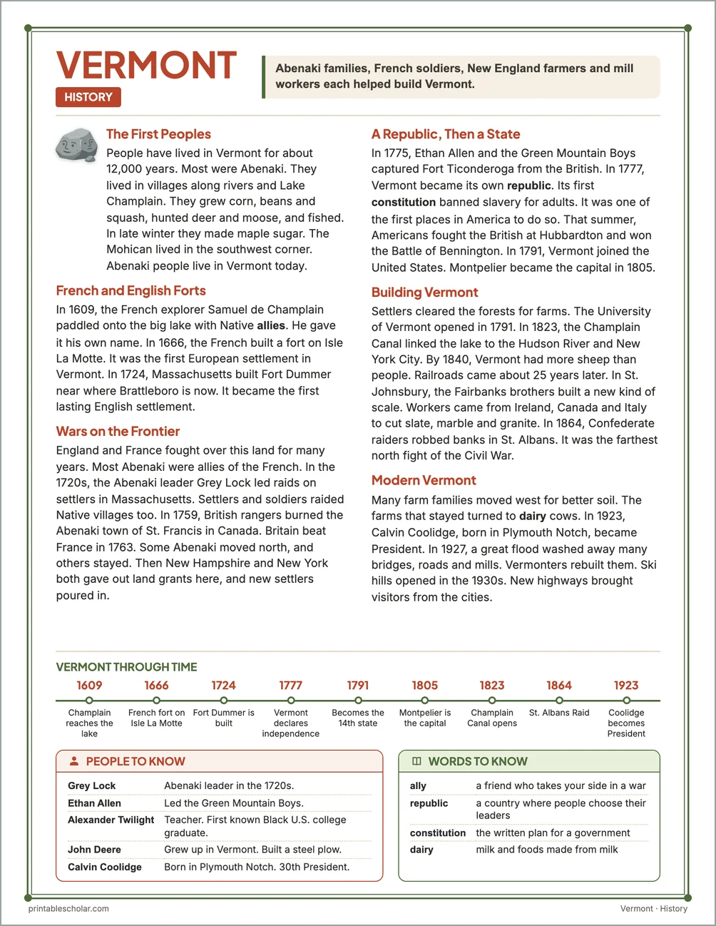
One page on the history of Vermont for grades 3 to 5, free to print in color or black and white. It is the second reading page in the kit.
The First Peoples
People have lived in Vermont for about 12,000 years. Most were Abenaki. They lived in villages along rivers and Lake Champlain. They grew corn, beans and squash, hunted deer and moose, and fished. In late winter they made maple sugar. The Mohican lived in the southwest corner. Abenaki people live in Vermont today.
French and English Forts
In 1609, the French explorer Samuel de Champlain paddled onto the big lake with Native allies. He gave it his own name. In 1666, the French built a fort on Isle La Motte. It was the first European settlement in Vermont. In 1724, Massachusetts built Fort Dummer near where Brattleboro is now. It became the first lasting English settlement.
Wars on the Frontier
England and France fought over this land for many years. Most Abenaki were allies of the French. In the 1720s, the Abenaki leader Grey Lock led raids on settlers in Massachusetts. Settlers and soldiers raided Native villages too. In 1759, British rangers burned the Abenaki town of St. Francis in Canada. Britain beat France in 1763. Some Abenaki moved north, and others stayed. Then New Hampshire and New York both gave out land grants here, and new settlers poured in.
A Republic, Then a State
In 1775, Ethan Allen and the Green Mountain Boys captured Fort Ticonderoga from the British. In 1777, Vermont became its own republic. Its first constitution banned slavery for adults. It was one of the first places in America to do so. That summer, Americans fought the British at Hubbardton and won the Battle of Bennington. In 1791, Vermont joined the United States. Montpelier became the capital in 1805.
Building Vermont
Settlers cleared the forests for farms. The University of Vermont opened in 1791. In 1823, the Champlain Canal linked the lake to the Hudson River and New York City. By 1840, Vermont had more sheep than people. Railroads came about 25 years later. In St. Johnsbury, the Fairbanks brothers built a new kind of scale. Workers came from Ireland, Canada and Italy to cut slate, marble and granite. In 1864, Confederate raiders robbed banks in St. Albans. It was the farthest north fight of the Civil War.
Modern Vermont
Many farm families moved west for better soil. The farms that stayed turned to dairy cows. In 1923, Calvin Coolidge, born in Plymouth Notch, became President. In 1927, a great flood washed away many bridges, roads and mills. Vermonters rebuilt them. Ski hills opened in the 1930s. New highways brought visitors from the cities.
Vermont through time
- 1609 Champlain reaches the lake
- 1666 French fort on Isle La Motte
- 1724 Fort Dummer is built
- 1777 Vermont declares independence
- 1791 Becomes the 14th state
- 1805 Montpelier is the capital
- 1823 Champlain Canal opens
- 1864 St. Albans Raid
- 1923 Coolidge becomes President
People to know
- Grey Lock: Abenaki leader in the 1720s.
- Ethan Allen: Led the Green Mountain Boys.
- Alexander Twilight: Teacher. First known Black U.S. college graduate.
- John Deere: Grew up in Vermont. Built a steel plow.
- Calvin Coolidge: Born in Plymouth Notch. 30th President.
Free Vermont maps
Each of these maps is free to print on its own page. The kit puts them in one file with the reading pages and the booklet.