 Printable Scholar
Alexander the Great Map
A free printable map of the empire of Alexander the Great drawn on real terrain: the lands he ruled when he died in 323 BC, from Greece and Egypt to the Indus River, and the route of his march with his four great battles. It comes in color, black and white, and blank.

Choose your version
Black and white, color or blank.
All three are free PDFs sized for US Letter paper.

Black and white
Everything named on a plain outline map with no terrain. No color ink needed.
downloadBlack and white PDF
Color
The empire, the route, cities and battles named, on shaded relief.
downloadColor PDF
Blank
The black-and-white map with its routes and markers but no names, for labeling practice.
downloadBlank PDF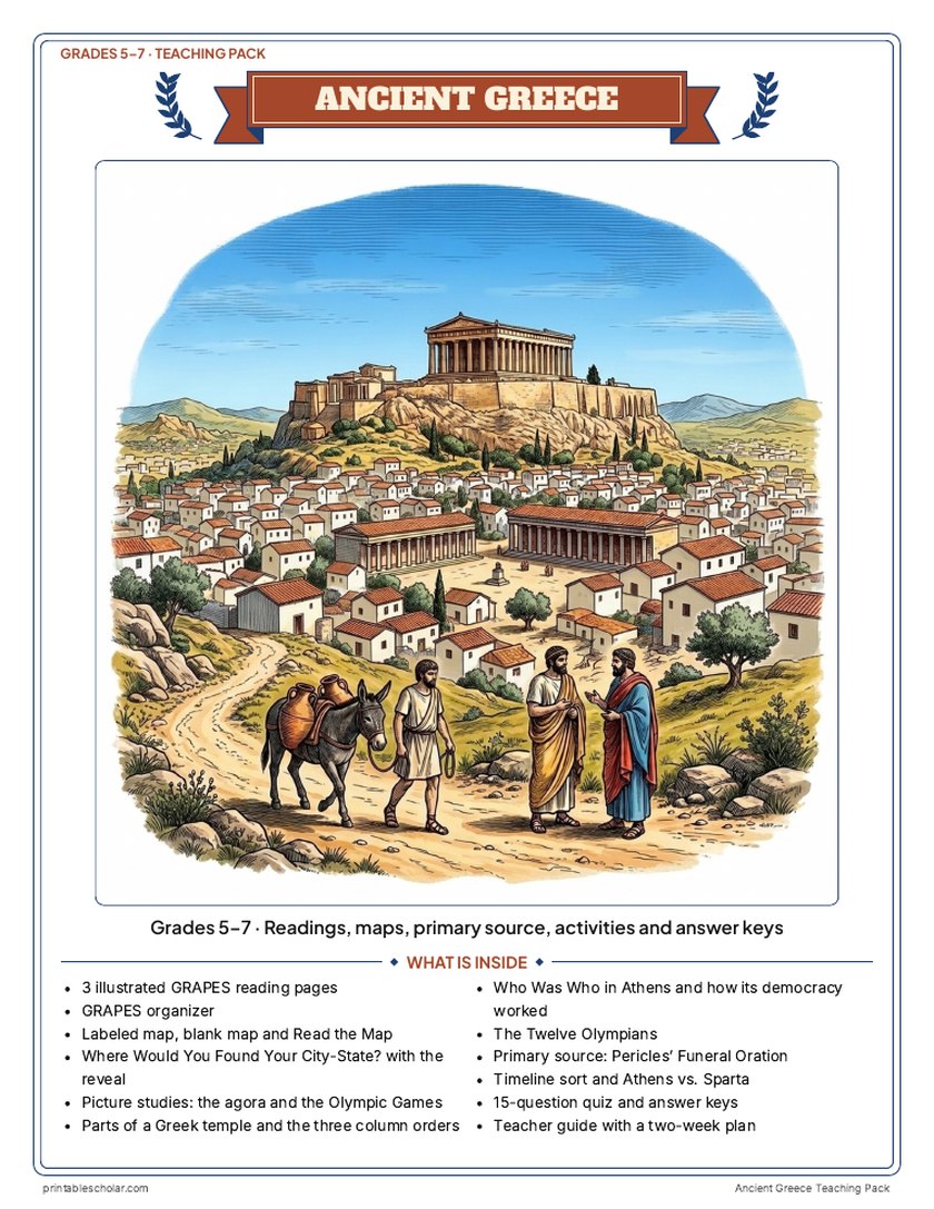
Teaching pack · Grades 5–7
Teaching Ancient Greece? The whole unit, ready to teach.
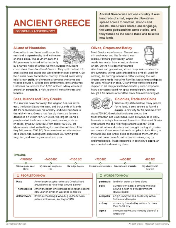
Two weeks of lessons in one download: slides to present, notes for students to fill in, and printable pages that use these maps and pictures.
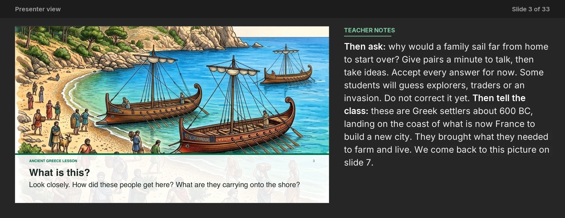
Every slide comes with teacher notes: what to say, what to ask, and sample answers.
- 33 lesson slides (PowerPoint you can edit) and 2 pages of guided notes
- 3 illustrated reading pages and a GRAPES organizer
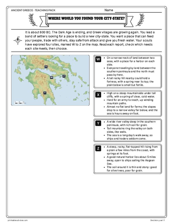
- Maps: labeled, blank, Read and Measure the Map, and a "Where would you found your city-state?" decision with the reveal
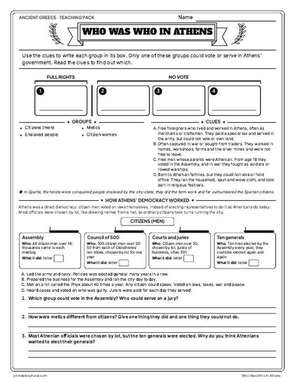
- Activities: picture studies of the agora and the Olympic Games, parts of a Greek temple and the three column orders, who was who in Athens and how its democracy worked, the Twelve Olympians, Pericles' Funeral Oration, a timeline sort and Athens vs. Sparta
- A 15-question quiz, a teacher guide with a two-week plan, and answer keys for everything
Every answer is in the pack. The readings, slides, maps and pictures teach everything the sheets and quiz ask, so no textbook is needed.
Get the Ancient Greece pack for $7Teaching more than one? Get all eight ancient history packs (Early Humans, Egypt, Mesopotamia, the Persian Empire, Greece, Rome, China and India) for $39: about sixteen weeks of lessons.
Get all 8 packs for $39See all eight packsOr get every history pack (24) in one download:Get all 24 for $49
One-time purchase. Instant download. Color and ink-saving black-and-white editions. Secure checkout by Stripe.
The 10-day plan
10 lessons, each planned for one class period of about 45 to 50 minutes, straight from the teacher guide. Some days are fuller than others; the note below shows how to even them out.
- Day 1Mountains, seas, city-states and the map
- Day 2Geography, economy and measuring the map
- Day 3Where would you found your city-state?
- Day 4Agora of Athens picture study and trade game
- Day 5Government, the wars and a class Assembly
- Day 6Primary source: Pericles' Funeral Oration
- Day 7Athens vs. Sparta: Compare chart and argument
- Day 8Gods, the Olympics, thinkers and the Twelve Olympians
- Day 9Parts of a temple and the Olympic Games
- Day 10Timeline sort, then review and the 15-question quiz
Fitting it to your schedule: Days 5 and 8 are the fullest and Days 3, 6 and 7 the lightest. With 10 periods, move Who Was Who in Athens, How Athens' Democracy Worked and the class Assembly from Day 5 to Day 7, beside the Athens vs. Sparta chart. With 8 periods, run the city-state choice and What Really Happened on Day 2 after Reading 1, with Read and Measure the Map as homework. Then on Day 6 follow Pericles with Who Was Who in Athens and How Athens' Democracy Worked, skip the class Assembly, and give the Athens vs. Sparta chart and its written argument as homework.
See the full day-by-day plan
- Day 1
- Slides 1-9 on Greece's mountains, seas and city-states (with a quick check) and guided notes page 1, questions 1-7. Labeled map with the What Happened strip; students fill in the blank map with the word bank.
- Day 2
- Reading 1: Geography and Economy. Fill the G and E boxes of the GRAPES organizer. Read and Measure the Map, including the scale-bar distances.
- Day 3
- Where Would You Found Your City-State? Students choose and argue in pairs, then read What Really Happened and discuss why each place grew so differently.
- Day 4
- Picture study: The Agora of Athens. Look Closely questions, then the city-state trade game.
- Day 5
- Slides 10-18 on government, the Persian and Peloponnesian Wars, a turn and talk, Athens and Sparta, with guided notes page 1, questions 8-14. Reading 2: Politics and Social Structure. Fill the P and S boxes. Who Was Who in Athens and How Athens' Democracy Worked; hold a class Assembly.
- Day 6
- Primary source: Pericles' Funeral Oration. Read aloud, use the gloss, answer the document questions and discuss who was left out.
- Day 7
- Athens vs. Sparta compare chart from the readings, then the compare question as a short written argument.
- Day 8
- Slides 19-30 on gods, oracles, the Olympics (with Weird but True and a turn and talk), poems, plays, philosophers, builders (with Myth vs. Fact) and Alexander, with guided notes page 2, questions 15-25. Reading 3: Religion and Achievements. Fill the R and A boxes. The Twelve Olympians: match each symbol to its god.
- Day 9
- Parts of a Greek Temple: label the temple and compare the three orders (or build paper columns). Picture study: The Olympic Games, then run the stade.
- Day 10
- Slides 31-33: the Who am I? riddle and the exit question at the bottom of notes page 2; look back at Myth vs. Fact (slide 27) and Weird but True (slide 22). Timeline sort into the Archaic, Classical and Hellenistic periods with the BC box. Check the GRAPES organizer, then the 15-question quiz.
Also for this unit · Classroom game · Grades 4–7
Would You Survive? Ancient Greece
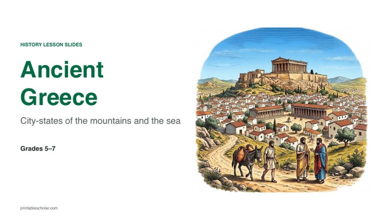
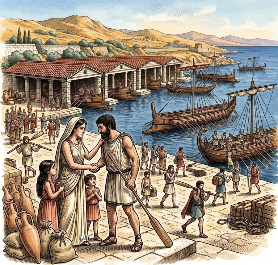
Your class runs an Athenian farming family in 431-430 BC: the Spartan invasion, the crowded city, rowing in the fleet, the plague and a vote in the Assembly. Six rounds of real choices and dice rolls, then what really happened. One lesson, one student sheet each.
Get the game for $7Play it free onlineTeaching the whole unit? Get the game and the teaching pack together for $12 (save $2).
Alexander the Great
Alexander was born in 356 BC in Pella, the capital of Macedon, a kingdom north of Greece. His teacher was the philosopher Aristotle. He became king at 20, after his father, Philip II, was killed, and in 334 BC he crossed into Asia with an army of about 40,000 men to attack the Persian Empire, the largest empire in the world. He won at the Granicus River, then beat the Persian king Darius III at Issus in 333 BC. He took the cities of the eastern Mediterranean coast, including Tyre after a seven-month siege, and entered Egypt, where he founded the city of Alexandria and visited the oracle at Siwa. In 331 BC he defeated Darius again at Gaugamela and took Babylon, Susa and the Persian capital, Persepolis. Then he marched east through Bactria and Sogdiana to the edge of Central Asia and crossed the Hindu Kush into India, where he won the Battle of the Hydaspes in 326 BC. At the Hyphasis River his tired soldiers refused to go farther, so he turned back, marching part of his army through the harsh Gedrosian Desert. He died in Babylon in 323 BC, at 32. In about eleven years he had built one of the largest empires the world had seen, and Greek language and ideas spread across it.
On the map
- Pella: the capital of Macedon, where Alexander was born
- Granicus, 334 BC; Issus, 333 BC; Gaugamela, 331 BC: his three great victories over Persia
- Alexandria: the city he founded in Egypt, 331 BC
- Persepolis: the Persian capital he captured and burned
- Hydaspes, 326 BC: his battle against King Porus in India
- Babylon: where he died in 323 BC
Find it on the map
- How far the route runs from Macedon to the Indus River
- The detour to the oracle at Siwa, in the Egyptian desert
- The march home through the Gedrosian Desert
The empire’s borders and the route are approximate. Sparta is left outside: it never joined Alexander’s League of Corinth. Coastlines and rivers are shown as they are today.
Frequently asked questions
How big was the empire of Alexander the Great?
About 2 million square miles at his death in 323 BC, stretching from Greece and Egypt in the west to the Indus River in the east.
What lands did Alexander the Great conquer?
The whole Persian Empire, including Anatolia, Syria, Egypt, Mesopotamia and Persia, as well as Bactria and Sogdiana in Central Asia and the Punjab in northwestern India, besides Macedon and most of Greece.
What were his most important battles?
The Granicus (334 BC), Issus (333 BC) and Gaugamela (331 BC) against the Persians, and the Hydaspes (326 BC) against King Porus in India. All four are marked on the map.
Why did Alexander turn back from India?
At the Hyphasis (Beas) River in 326 BC his soldiers, after eight years of marching and fighting, refused to go farther east. He agreed and led them back toward Babylon.
What happened to his empire after he died?
His generals fought over it and split it into kingdoms, the largest ruled by the Ptolemies in Egypt and the Seleucids in Asia.