 Printable Scholar
The Treaty of Tordesillas, 1494
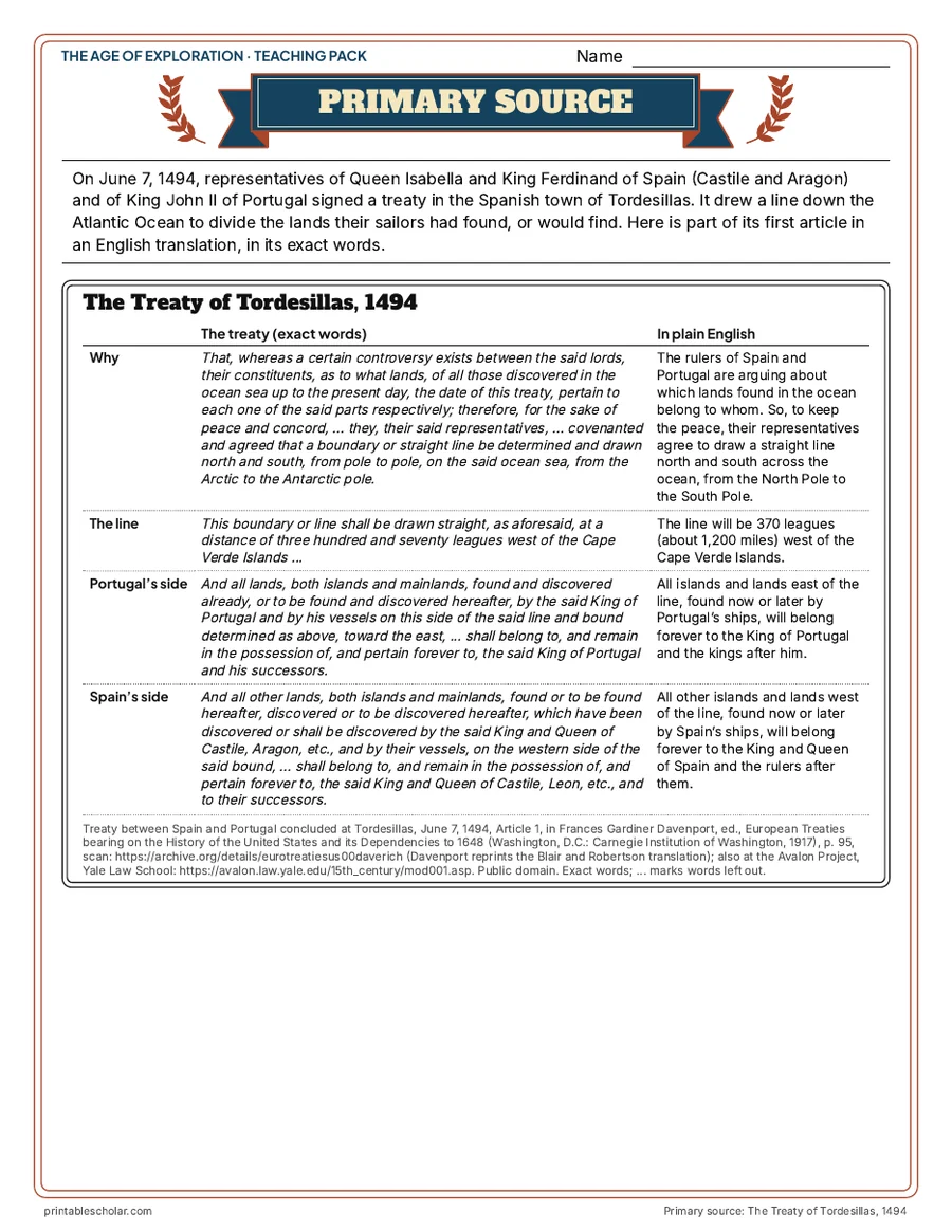
After Columbus returned from the Caribbean in 1493, Spain and Portugal argued over who could claim the lands their sailors reached. On June 7, 1494, at Tordesillas in Spain, representatives of Queen Isabella and King Ferdinand and of King John II of Portugal agreed to draw a line from the North Pole to the South Pole, 370 leagues west of the Cape Verde Islands. Lands to the west would go to Spain, lands to the east to Portugal. No one asked the peoples who already lived in those lands, and other European kingdoms such as England and France did not accept it. The line cut through the eastern part of South America, which is why Brazil came to Portugal. This free primary source sheet sets part of the treaty, in the English translation Frances Gardiner Davenport published in 1917, beside plain English, with a map of the line and four document questions.
Free to print
The Treaty of Tordesillas: primary source, map and questions
PDFs sized for US Letter paper, in color and black and white.
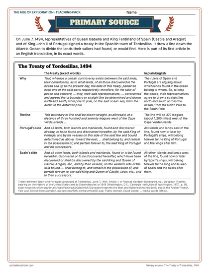
The Treaty of Tordesillas, 1494
Four parts of the treaty in Davenport’s 1917 English beside a plain-English version: why it was made, the line, Portugal’s side and Spain’s side.
Download PDF Black and white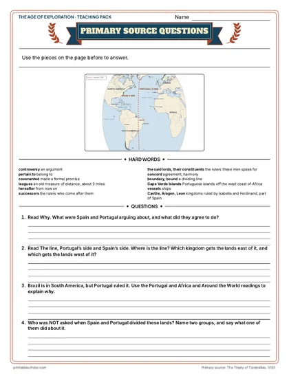
Map, hard words and questions
A map of the line of 1494, the hard words explained, and four document questions.
Download PDF Black and white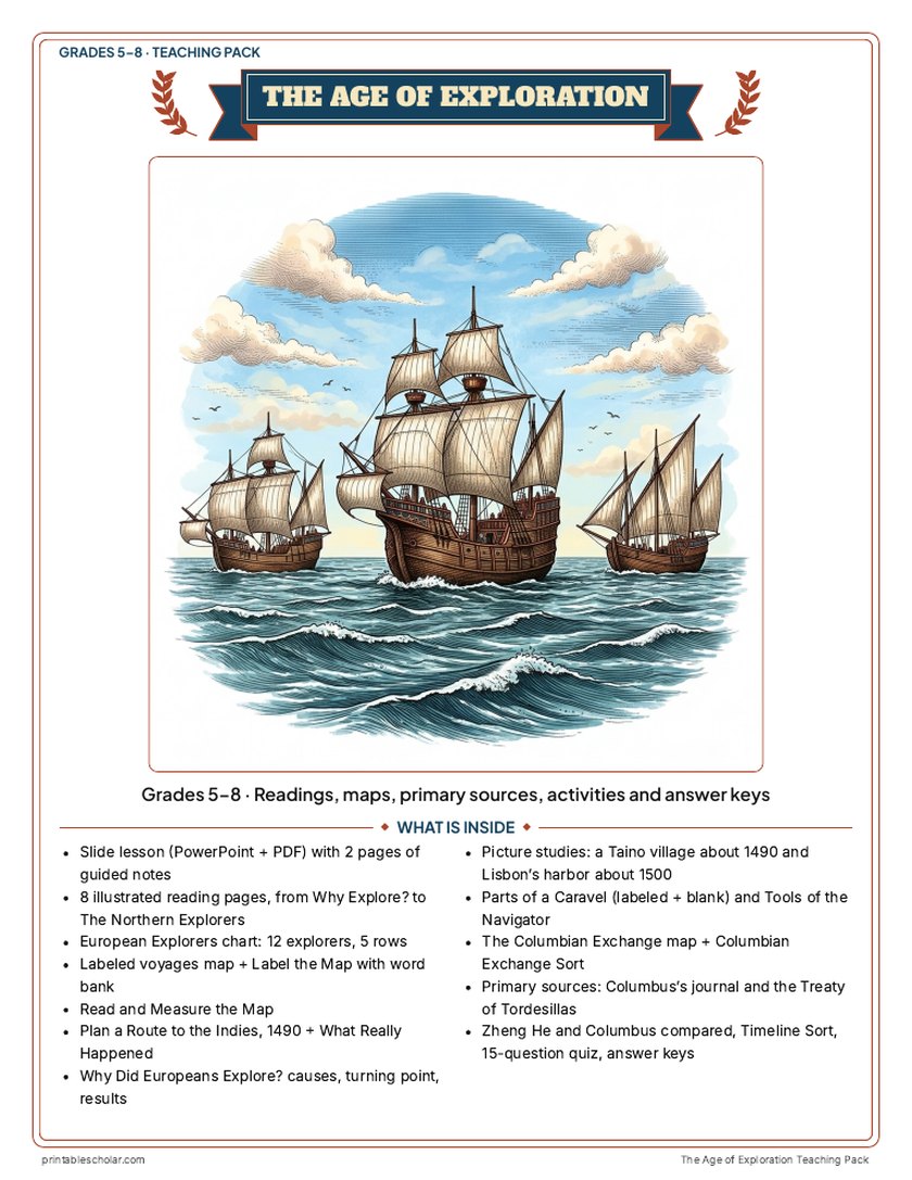
Teaching pack · Grades 5–8
Teaching the Age of Exploration? The whole unit, ready to teach.
Two weeks of lessons in one download: slides to present, notes for students to fill in, and printable pages that use these maps and pictures.
Every slide comes with teacher notes: what to say, what to ask, and sample answers.
- 50 lesson slides (PowerPoint you can edit) and 2 pages of guided notes
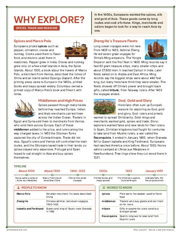
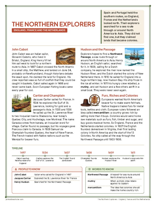
- 8 illustrated reading pages: why Europeans explored, ships and navigation, Portugal and Africa, Columbus and the Taino, around the world, Spain in the Americas, the Columbian Exchange and the northern explorers, plus a 12-explorer chart
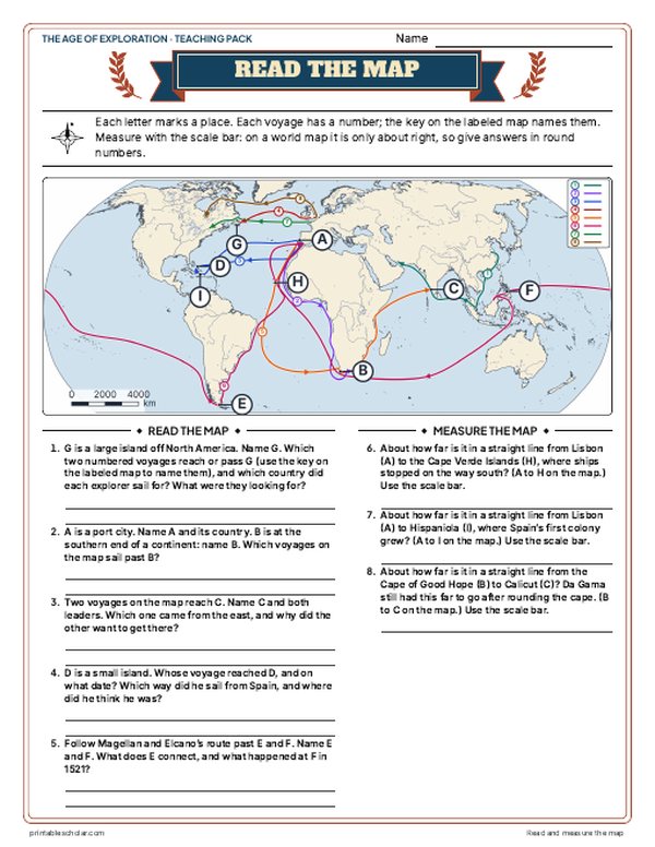
- Maps: a labeled voyages map, a blank map with word bank, Read and Measure the Map, Plan a Route to the Indies (1490) with What Really Happened, and the Columbian Exchange map
- Activities: picture studies of a Taino village and Lisbon's harbor, parts of a caravel, tools of the navigator, causes and results, Columbus's journal and the Treaty of Tordesillas as primary sources, Zheng He and Columbus compared, a timeline sort and a Columbian Exchange sort
- A 15-question quiz, a teacher guide with a two-week plan, and answer keys for everything
Every answer is in the pack. The readings, slides, maps and pictures teach everything the sheets and quiz ask, so no textbook is needed.
Get the Age of Exploration pack for $7Teaching more than one? Get all seven US history packs (Native American Regions, the Age of Exploration, the 13 Colonies, the American Revolution, the Constitution, Westward Expansion and the Civil War) for $34: about fourteen weeks of lessons.
Get all 7 packs for $34See all seven packsOr get every history pack (23) in one download:Get all 23 for $49
One-time purchase. Instant download. Color and ink-saving black-and-white editions. Secure checkout by Stripe.
What the treaty did
The line
A line from pole to pole, 370 leagues (about 1,200 miles) west of the Cape Verde Islands. The treaty gave no longitude; it is usually placed at about 46 degrees 37 minutes west.
Spain’s side
Lands west of the line went to Spain: almost all of the Americas.
Portugal’s side
Lands east of the line went to Portugal: the route around Africa to India, and the eastern bulge of South America. Pedro Álvares Cabral reached Brazil in 1500 and claimed it for Portugal.
Who was left out
The Native peoples of the Americas were never asked. England, France and the Netherlands ignored the treaty and sent their own explorers.
Frequently asked questions
Why is the Treaty of Tordesillas important?
It divided the lands Europeans were reaching between Spain and Portugal. It is the reason Brazil speaks Portuguese while most of Latin America speaks Spanish.
What was the line of demarcation?
An earlier line drawn by Pope Alexander VI in 1493. Portugal wanted it moved farther west, and the Treaty of Tordesillas set the new line 370 leagues west of the Cape Verde Islands.
What grade is this for?
Grades 5 to 8: the grade 5 exploration unit and grade 7 world history.