 Printable Scholar
Fertile Crescent Map
A free printable map of the Fertile Crescent drawn on real terrain: the curve of rich land along the Tigris, Euphrates and Jordan rivers where farming and the first cities began, with Mesopotamia, the Levant and Egypt. It comes in color, black and white, and blank.

Choose your version
Black and white, color or blank.
All three are free PDFs sized for US Letter paper.

Black and white
Everything named on a plain outline map with no terrain. No color ink needed.
downloadBlack and white PDF
Color
The crescent, rivers, cities and early villages named, on shaded relief.
downloadColor PDF
Blank
The black-and-white map with its routes and markers but no names, for labeling practice.
downloadBlank PDF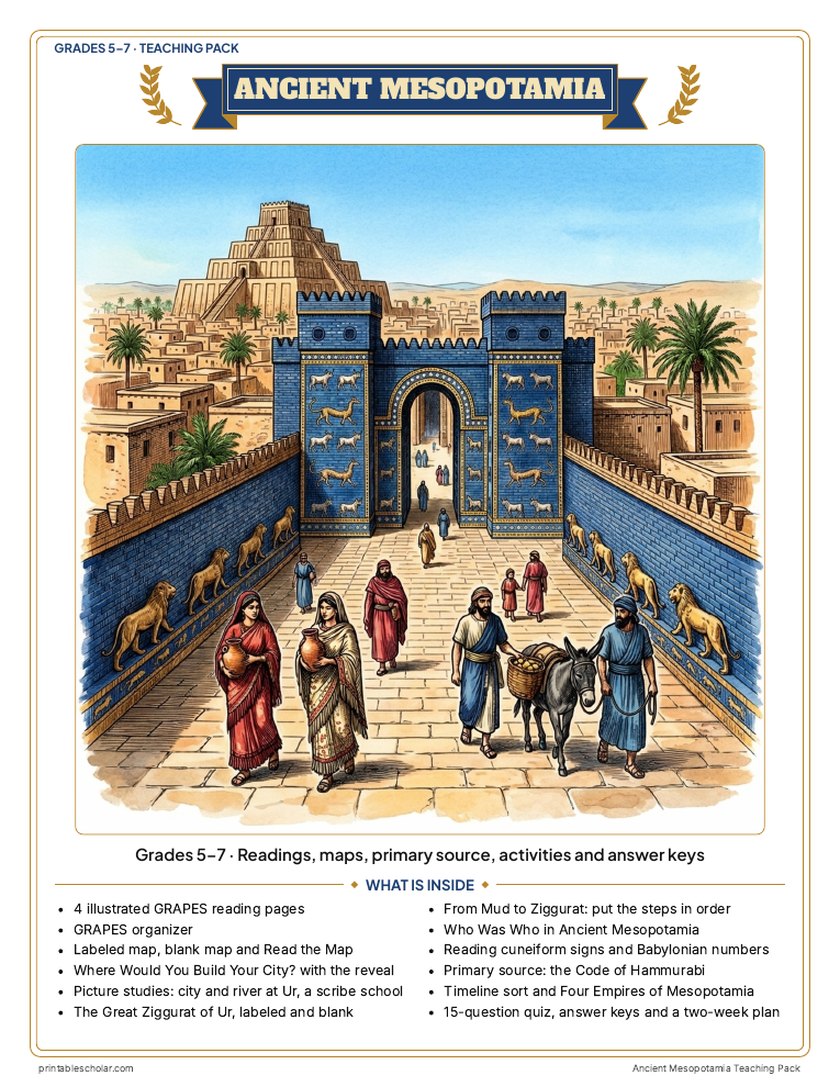
Teaching pack · Grades 5–7
Teaching Ancient Mesopotamia? The whole unit, ready to teach.
Two weeks of lessons in one download: slides to present, notes for students to fill in, and printable pages that use these maps and pictures.
Every slide comes with teacher notes: what to say, what to ask, and sample answers.
- 32 lesson slides (PowerPoint you can edit) and 2 pages of guided notes
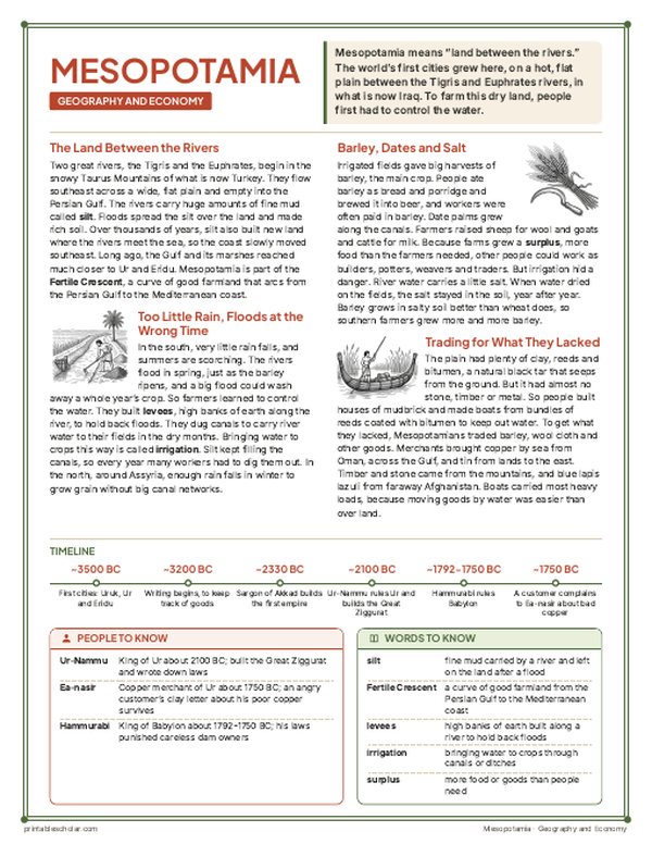
- 4 illustrated reading pages and a GRAPES organizer
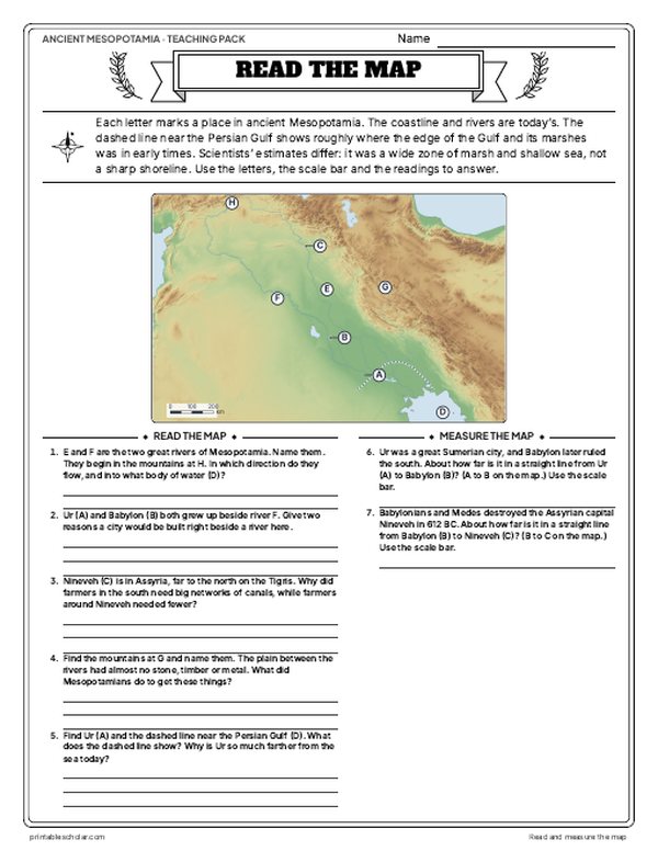
- Maps: labeled, blank, Read and Measure the Map, and a "Where would you build your city?" decision with the reveal
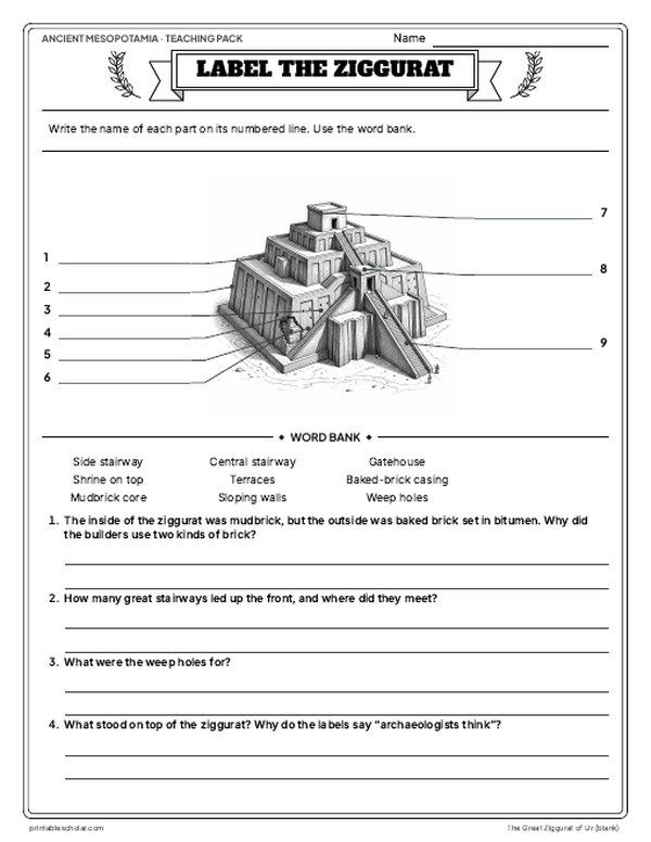
- Activities: picture studies of Ur and a scribe school, the Great Ziggurat of Ur (labeled, blank and the building steps), who was who, reading real cuneiform signs and Babylonian numbers, the Code of Hammurabi, a timeline sort and four empires compared
- A 15-question quiz, a teacher guide with a two-week plan, and answer keys for everything
Every answer is in the pack. The readings, slides, maps and pictures teach everything the sheets and quiz ask, so no textbook is needed.
Get the Ancient Mesopotamia pack for $7Teaching more than one? Get all eight ancient history packs (Early Humans, Egypt, Mesopotamia, the Persian Empire, Greece, Rome, China and India) for $39: about sixteen weeks of lessons.
Get all 8 packs for $39See all eight packsOr get every history pack (24) in one download:Get all 24 for $49
One-time purchase. Instant download. Color and ink-saving black-and-white editions. Secure checkout by Stripe.
The 10-day plan
10 lessons, each planned for one class period of about 45 to 50 minutes, straight from the teacher guide. Some days are fuller than others; the note below shows how to even them out.
- Day 1Hook: Choose a city site, then the two rivers
- Day 2Geography, economy and measuring the map
- Day 3The blank map and the Ur picture study
- Day 4Gods, temples and the Great Ziggurat of Ur
- Day 5From mud to ziggurat: Order the steps, build
- Day 6Cuneiform, city-states and the scribe school picture study
- Day 7Base-60 numbers, politics and Who Was Who
- Day 8Primary source: Hammurabi's Code and a mock court
- Day 9The four empires, their chart and the timeline sort
- Day 10Review and the 15-question quiz
Fitting it to your schedule: Days 6, 7 and 9 are the fullest and Day 5 the lightest. With 10 periods, move the timeline sort from Day 9 to open the Day 10 review, which is short. With 8 periods, do the Ur picture study at the end of Day 2 (skip the river model), send the blank map and Read and Measure the Map home on two separate nights, and give From Mud to Ziggurat as homework after Day 4, skipping the mudbrick build.
See the full day-by-day plan
- Day 1
- Before any reading (the readings and slides give the answer away): Where Would You Build Your City? Students choose and argue in pairs. Then read What Really Happened, and open the lesson slides 1-8 on the land between the rivers with guided notes page 1.
- Day 2
- Reading 1: Geography and Economy. Fill the G and E boxes of the GRAPES organizer. Read and Measure the Map, including the dashed ancient coast and the scale-bar distances.
- Day 3
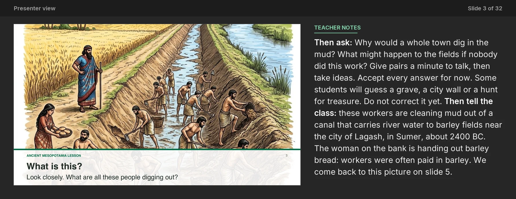
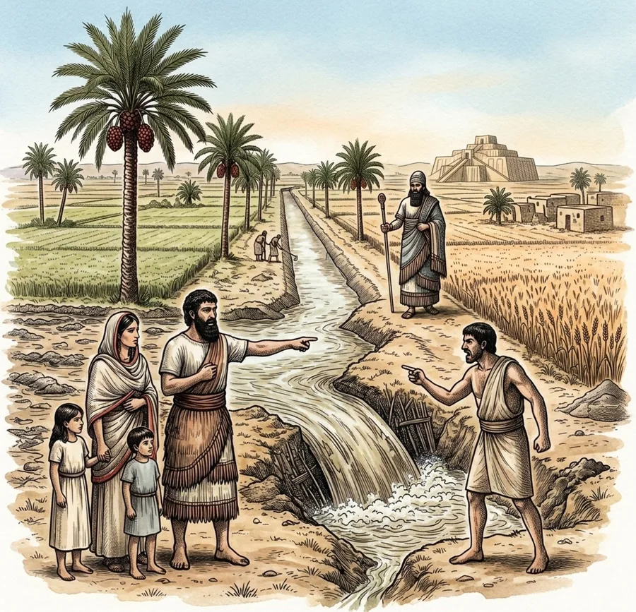
- Labeled map with the What Happened strip; students fill in the blank map with the word bank. Picture study: City and River at Ur, Look Closely questions; try the river model.
- Day 4
- Lesson slides 9-12 on gods, temples and ziggurats. Reading 2: Religion and Achievements; fill the R and A boxes. The Great Ziggurat of Ur, labeled and blank.
- Day 5
- From Mud to Ziggurat: put the steps in order and answer the questions; make mudbricks or build a ziggurat.
- Day 6
- Lesson slides 13-20 on writing, city-states and who was who (the Weird but True clock slide and a turn and talk on canal wars inside). Reading Cuneiform page A: the picture-to-wedge chart, sign matching and the alphabet box. Picture study: A Scribe School. Write on clay.
- Day 7
- Reading Cuneiform page B: Babylonian numbers, the receipt tablet and why we use 60; base 60 shares. Then Reading 3: Politics and Social Structure; fill the P and S boxes; Who Was Who in Ancient Mesopotamia.
- Day 8
- Primary source: the Code of Hammurabi. Read aloud with the plain-English lines and gloss, answer the document questions, then hold Hammurabi's court.
- Day 9
- Lesson slides 21-28 on the empires (the Myth vs. Fact on the first law code and a turn and talk inside). Reading 4: Empires of Mesopotamia; add to the P box. Four Empires of Mesopotamia chart and question. Timeline sort with the BC box.
- Day 10
- Slides 29-32: Mesopotamia vs. Egypt, the Who am I? riddle and the exit question on guided notes page 2. Check the GRAPES organizer, then the 15-question quiz.
Also for this unit · Classroom game · Grades 4–7
Would You Survive? Ancient Mesopotamia
Your class runs a farming family near Ur in Hammurabi's time: clearing the canals, a barley loan, a spring flood, the rule about broken dikes and the king's debt order. Six rounds of real choices and dice rolls, then what really happened. One lesson, one student sheet each.
Get the game for $7Play it free onlineTeaching the whole unit? Get the game and the teaching pack together for $12 (save $2).
The Fertile Crescent
The Fertile Crescent is a curve of rich, well-watered land in the Middle East. It runs from the head of the Persian Gulf up the valleys of the Tigris and Euphrates rivers, around the foothills of the Taurus and Zagros Mountains, and down the eastern coast of the Mediterranean through the Levant. On a map it looks like a crescent moon wrapped around the Syrian Desert. The name was coined in 1916 by the American archaeologist James Henry Breasted. About 12,000 years ago, people here began to plant wild wheat and barley and to keep sheep, goats, pigs and cattle: some of the first farming in the world. Villages such as Jericho and Jarmo grew up, and at Gobekli Tepe people built stone temples even before farming took hold. Farming made it possible to feed more people in one place, and by about 3500 BC the first cities, such as Uruk and Ur, rose in Mesopotamia, the land between the rivers. There people invented writing, the wheel and the first written laws. The Nile valley in Egypt, to the southwest, was another great farming land, and many maps include it in the crescent.
On the map
- The Tigris and Euphrates: the two rivers of Mesopotamia
- The Jordan River and the Levant coast: the western arm of the crescent
- Jericho and Jarmo: early farming villages
- Gobekli Tepe: stone temples built about 11,500 years ago
- Ur, Uruk and Babylon: some of the first cities
- The Nile and Egypt: another early farming land, to the southwest
Find it on the map
- The crescent curving around the Syrian Desert
- How close the Tigris and Euphrates come together near Babylon
- The mountains along the outer edge of the crescent, where rain falls
The outline of the crescent is approximate. Coastlines and rivers are shown as they are today.
Frequently asked questions
What is the Fertile Crescent?
A curve of rich farmland in the Middle East, running from the Persian Gulf up the Tigris and Euphrates valleys and down the Mediterranean coast. Farming and the first cities began there.
Why is it called the Fertile Crescent?
Because the land is fertile, good for growing crops, and on a map it is shaped like a crescent moon. The archaeologist James Henry Breasted named it in 1916.
What countries are in the Fertile Crescent today?
Iraq, Syria, Lebanon, Israel, the Palestinian territories and Jordan, along with parts of southeastern Turkey and western Iran. Some maps also include Egypt and the Nile valley.
Why was the Fertile Crescent important?
It is one of the first places where people farmed, about 12,000 years ago. Farming let people settle in villages and then cities, and in Mesopotamia people invented writing, the wheel and the first written laws.
What rivers are in the Fertile Crescent?
The Tigris and the Euphrates in Mesopotamia and the Jordan in the Levant. The Nile, in Egypt, is often shown with it.