 Printable Scholar
Alaska Physical Map
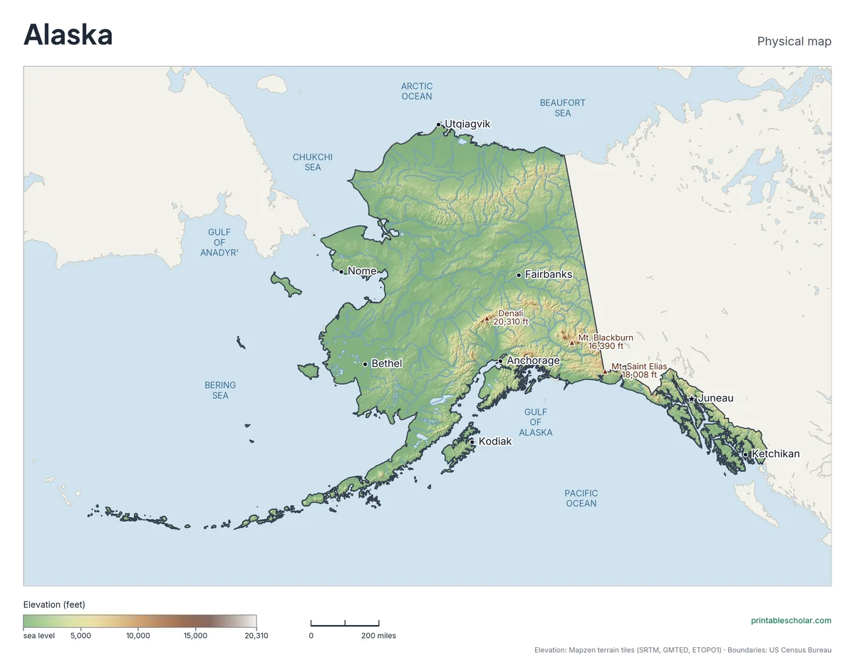
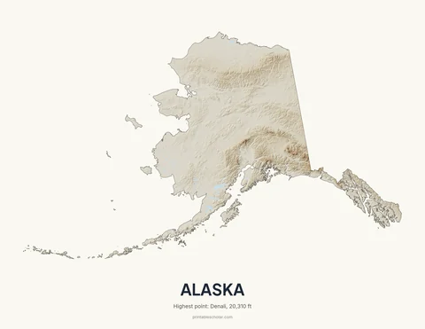
Alaska holds 17 of the 20 highest peaks in the United States, and Denali is the tallest mountain in North America. The physical map shows the Alaska Range, the Brooks Range and the long Aleutian chain.
Rendered from Mapzen terrain tiles (SRTM, GMTED, ETOPO1) + Natural Earth rivers/lakes + US Census state boundary. Four versions below, all free.
Highest Point
Denali
20,310 ft
Lowest Point
Pacific Ocean
0 ft
Choose your version
Two maps, two versions of each.
The same Alaska terrain as a classroom map and as wall art. All four are free PDFs.
Alaska physical map for the classroom
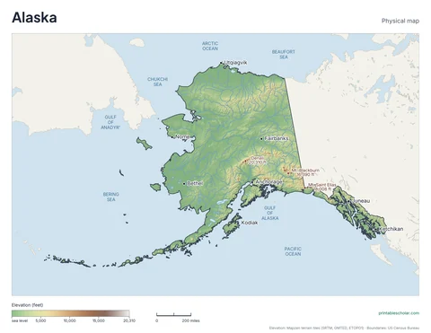
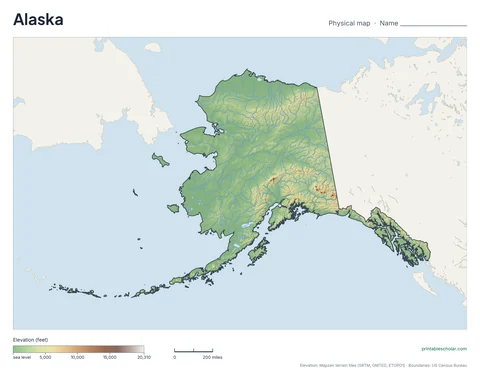
Elevation in color with shaded relief, plus the surrounding states and water for context. The labeled version marks the capital, major cities and the highest point. The blank version leaves them off so students can label the map themselves.
Alaska relief wall art
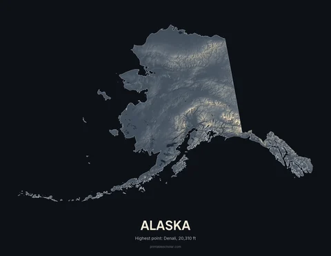
Alaska on its own, with strong shaded relief and no labels. The dark version has the most contrast. The light version uses far less ink on a home printer.
The physical geography of Alaska
Alaska is the largest state, more than twice the size of Texas. The Brooks Range crosses the far north, and beyond it the flat North Slope runs down to the Arctic Ocean. The broad middle of the state is rolling upland drained by the Yukon River and its branches. The Alaska Range curves across the south-central part of the state and holds Denali, the highest peak in North America. Along the Gulf of Alaska the Chugach and Saint Elias Mountains rise straight from the sea and carry large glaciers. The Alaska Peninsula and the Aleutian Islands reach far to the southwest as a chain of volcanoes, and the Panhandle in the southeast is a strip of coast and islands cut by fjords.
Major rivers
- Yukon
- Kuskokwim
- Tanana
- Copper
- Susitna
The Yukon is the longest river in Alaska. It crosses the whole state, from Canada to the Bering Sea.
Find it on the map
- Denali in the Alaska Range, the highest point in North America
- The Aleutian Islands curving west toward Russia
- The straight border with Canada along the 141st meridian
- The narrow Panhandle of islands and fjords in the southeast
Built from real data, not stock images.
Every Alaska physical map on this page was rendered from Mapzen terrain tiles (NASA SRTM where it reaches, GMTED and ETOPO1 north of 60°N), with hydrography from Natural Earth and the shoreline-clipped state outline from the US Census Bureau. Each map is colored over that state’s own elevation range, and the relief shading is exaggerated so gentle terrain still shows.
Read full methodology arrow_forwardPair with
More State Maps
Other Pacific states
Alaska borders no other state. These are physical maps of the other states on the Pacific.


The region and the whole country
Physical maps for every state
- Alabama
- Alaska
- Arizona
- Arkansas
- California
- Colorado
- Connecticut
- Delaware
- Florida
- Georgia
- Hawaii
- Idaho
- Illinois
- Indiana
- Iowa
- Kansas
- Kentucky
- Louisiana
- Maine
- Maryland
- Massachusetts
- Michigan
- Minnesota
- Mississippi
- Missouri
- Montana
- Nebraska
- Nevada
- New Hampshire
- New Jersey
- New Mexico
- New York
- North Carolina
- North Dakota
- Ohio
- Oklahoma
- Oregon
- Pennsylvania
- Rhode Island
- South Carolina
- South Dakota
- Tennessee
- Texas
- Utah
- Vermont
- Virginia
- Washington
- West Virginia
- Wisconsin
- Wyoming