 Printable Scholar
Nile River Map
A free printable map of the Nile River drawn on real terrain, from its sources near Lake Victoria to the delta on the Mediterranean Sea. It shows the White Nile, the Blue Nile, the cataracts and the places along the river. It comes labeled and blank.

Choose your version
Black and white, color or blank.
All three are free PDFs sized for US Letter paper.

Black and white
Everything named on a plain outline map with no terrain. No color ink needed.
downloadBlack and white PDF
Color
Cities, regions, rivers and seas named.
downloadColor PDF
Blank
The black-and-white map with its routes and markers but no names, for labeling practice.
downloadBlank PDF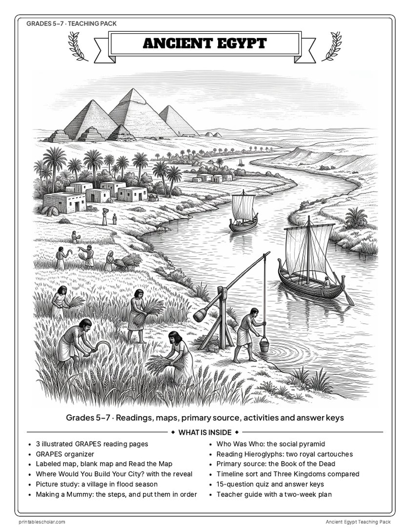
Teaching pack · Grades 5–7
Teaching Ancient Egypt? The whole unit, ready to teach.
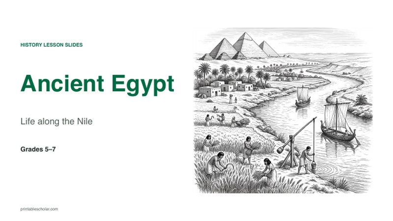
Two weeks of lessons in one download: slides to present, notes for students to fill in, and printable pages that use these maps and pictures.
- 23 lesson slides (PowerPoint you can edit, teacher notes on every slide) and 2 pages of guided notes
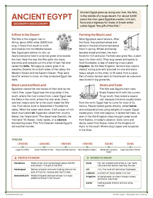
- 3 illustrated reading pages and a GRAPES organizer
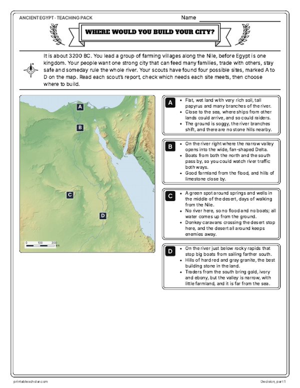
- Maps: labeled, blank, Read and Measure the Map, and a "Where would you build your city?" decision with the reveal
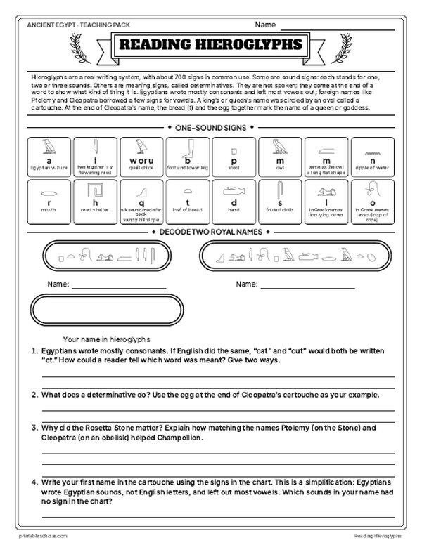
- Activities: a picture study, the steps of making a mummy, the social pyramid, reading hieroglyphs, a primary source and a timeline sort
- A 15-question quiz, a teacher guide with a two-week plan, and answer keys for everything
Every answer is in the pack. The readings, slides, maps and pictures teach everything the sheets and quiz ask, so no textbook is needed.
Get the Ancient Egypt pack for $7Teaching more than one? Get all six ancient civilizations (Egypt, Mesopotamia, Greece, Rome, China and India) for $29: about twelve weeks of lessons.
Get all 6 packs for $29See all six packsOne-time purchase. Instant download. Color and ink-saving black-and-white editions. Secure checkout by Stripe.
Following the Nile
The Nile is about 6,650 km (4,130 miles) long, one of the longest rivers in the world, and it flows north. Its two main branches meet at Khartoum, in Sudan: the White Nile, which comes from the lakes of central Africa near Lake Victoria, and the Blue Nile, which starts at Lake Tana in the Ethiopian Highlands. North of Khartoum the river crosses the Nubian Desert, and rocky rapids called cataracts break its course in six places; the First Cataract is at Aswan. In Egypt the river runs through a narrow green valley with desert on both sides, then fans out into the Nile Delta before it reaches the Mediterranean Sea. Ancient Egypt grew along this valley, and Nubia and the kingdom of Kush lay upstream to the south.
On the map
- Lake Victoria: the source of the White Nile
- Khartoum: where the White Nile and Blue Nile meet
- Meroe: a city of the kingdom of Kush
- Aswan: the First Cataract
- Thebes (Luxor): a later capital of ancient Egypt
- Cairo and Giza: the pyramids stand near the start of the delta
Find it on the map
- The Nile Delta fanning out at the Mediterranean
- The Blue Nile starting at Lake Tana in the highlands to the east
- The S-shaped bends of the river in Nubia, between the Third and Sixth Cataracts
Coastlines and rivers are shown as they are today. Lake Nasser, the modern reservoir behind the Aswan High Dam, is left off. Cataract positions are approximate.