 Printable Scholar
Where I Live: Me on the Map Worksheets
Help children see where they fit: my room, my home, my street, my town, my state, my country, my continent and my planet. The maps are drawn from real map data, so every state is the right shape.
Help children see where they fit: my room, my home, my street, my town, my state, my country, my continent and my planet. The maps are drawn from real map data, so every state is the right shape.
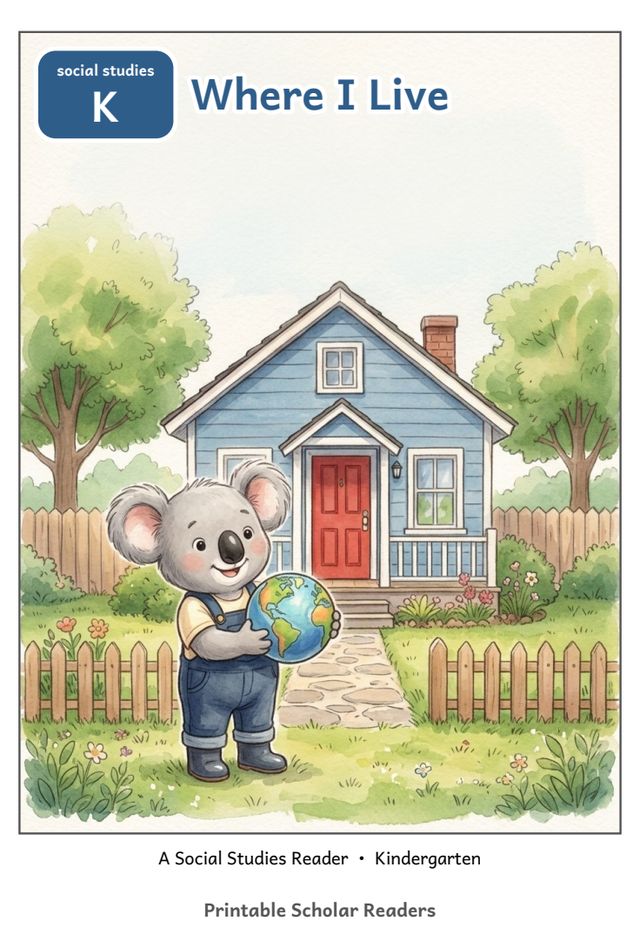
A six-page picture book to print, cut and staple: one short line on every page, and three questions to talk about on the back.
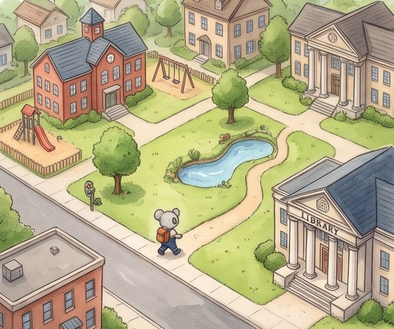
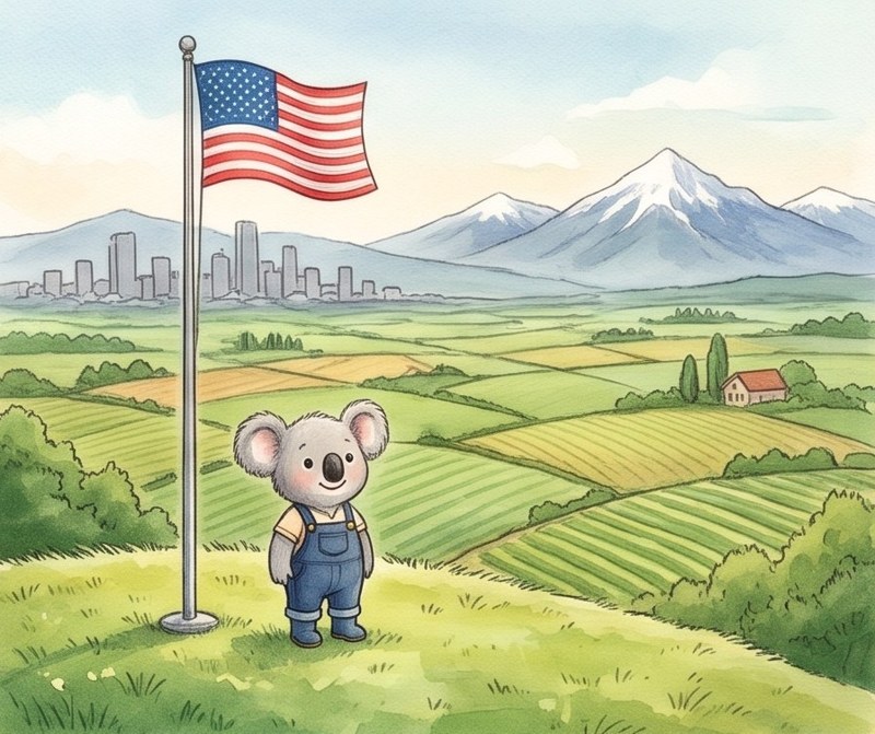
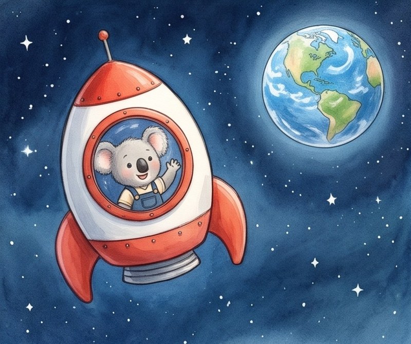
Each is a PDF to print right away, in black and white.
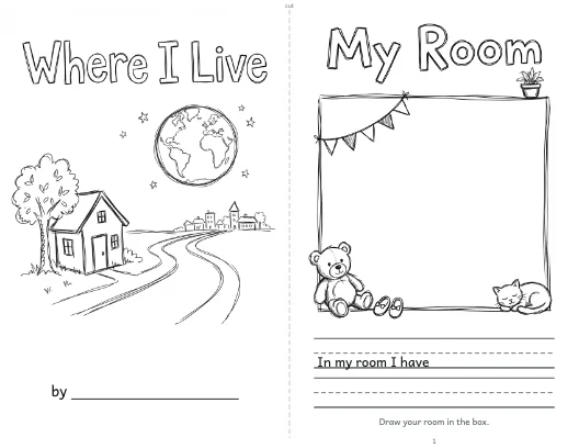
A cut-and-staple book from my room out to planet Earth: real maps of the United States, North America and the globe, and a page to draw your state.
Download PDF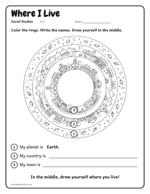
One big picture of my world in rings: space, my country, my town and my street. Color it, write the names and draw yourself in the middle.
Download PDF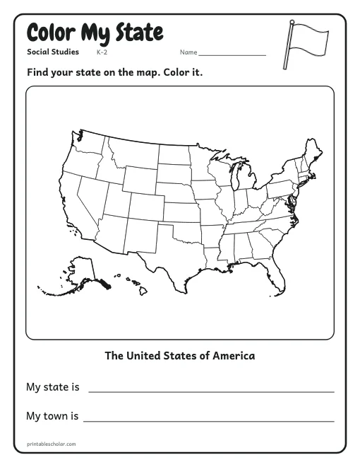
A map of all 50 states: find and color your state, then write its name and your town.
Download PDFAll About Me, My Family, Map Skills, Community Helpers, and all topics on the social studies page.
Young children learn place from the inside out. Start with the room they know, then their home and street, and only then the town, state and country. The Where I Live book walks that path one page at a time and ends with planet Earth, so the big ideas sit on top of the small ones a child already knows.
The book works well with the picture book Me on the Map by Joan Sweeney, which many classes read for this unit, and with the free Where I Live reader, where Ken the koala zooms out from his bedroom to the whole world.
Knowing their address helps a child tell a grown-up where they live. Practice it out loud first, then have the child write it on the Where I Live page. For more maps, see the printable maps section.