 Printable Scholar
Map Skills Worksheets
First map skills for kindergarten to 2nd grade: the seven continents and five oceans, the compass rose and north, south, east and west, reading a map key, and drawing a map of my own room.
First map skills for kindergarten to 2nd grade: the seven continents and five oceans, the compass rose and north, south, east and west, reading a map key, and drawing a map of my own room.
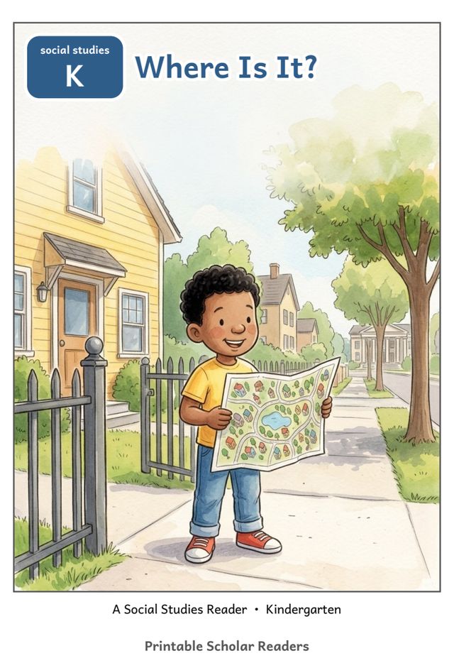
A six-page picture book to print, cut and staple: one short line on every page, and three questions to talk about on the back.
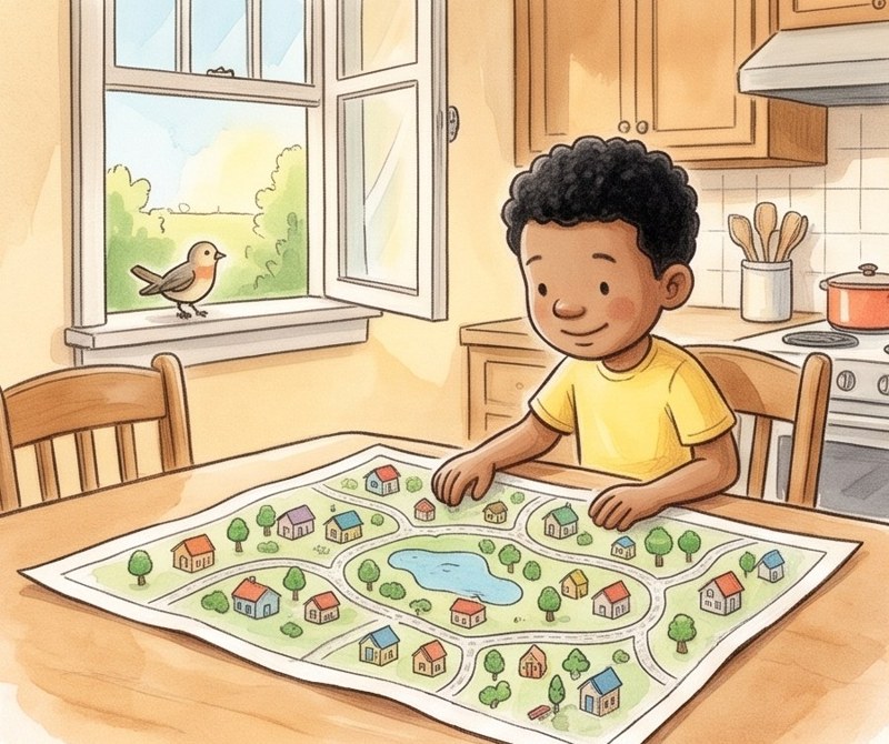
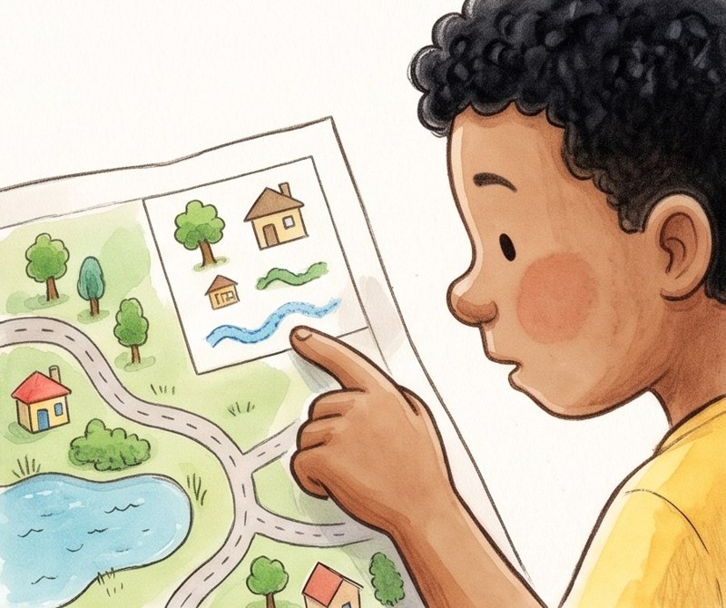
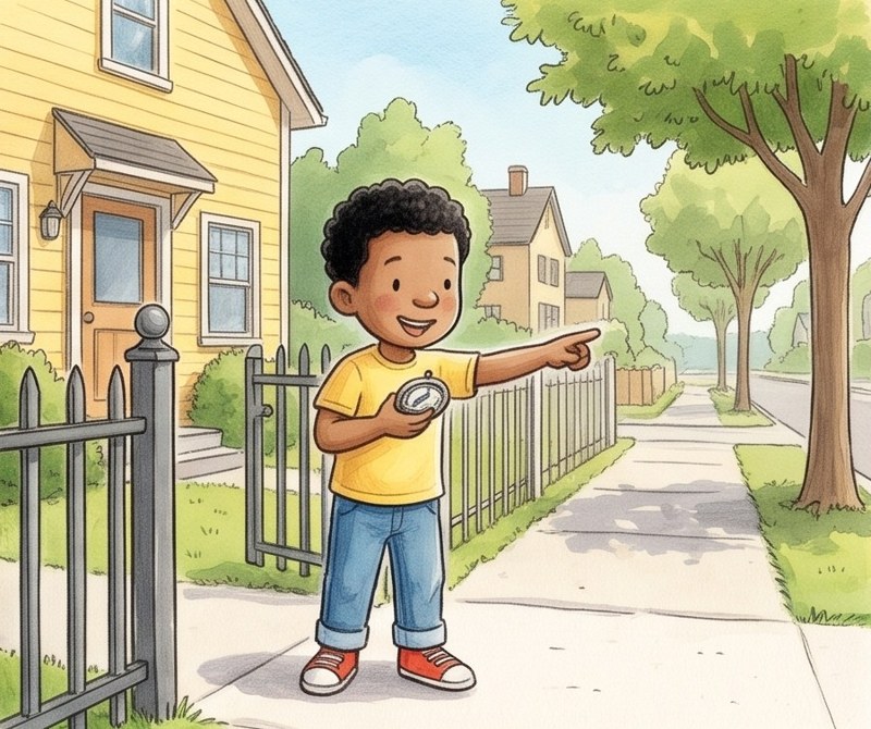
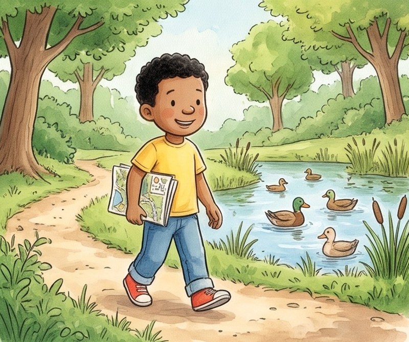
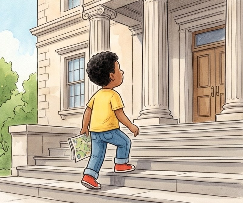
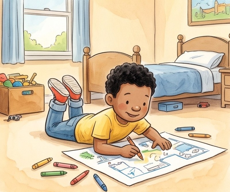
Each is a PDF to print right away, in black and white. Sheets with right answers have the answer key on page 2.
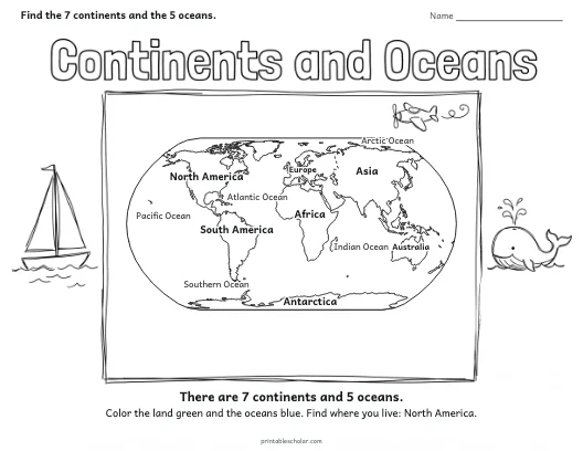
A world map drawn from real map data with the seven continents and five oceans labeled. Prints landscape.
Download PDF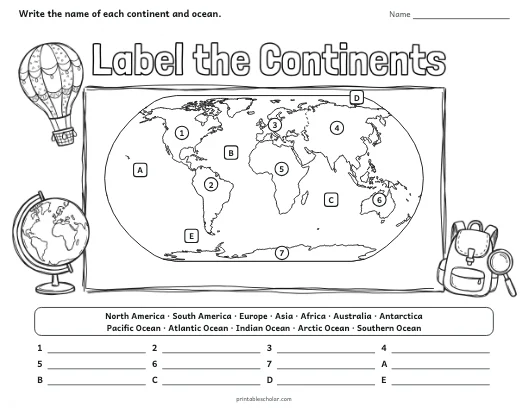
The same world map with numbers and letters: write each continent and ocean from the word bank. Answer key on page 2.
Download PDF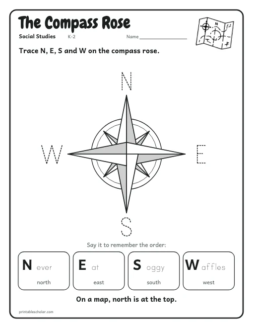
A big compass rose to trace and color, with "Never Eat Soggy Waffles" to remember north, east, south and west.
Download PDF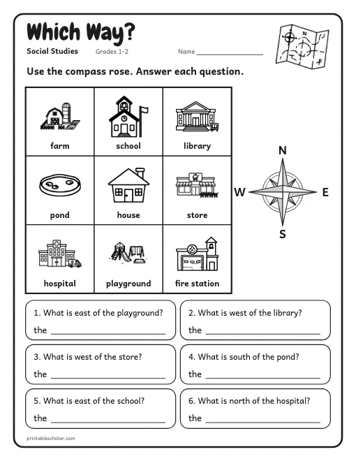
A town on a grid: what is north, south, east or west of each place? Answer key on page 2.
Download PDF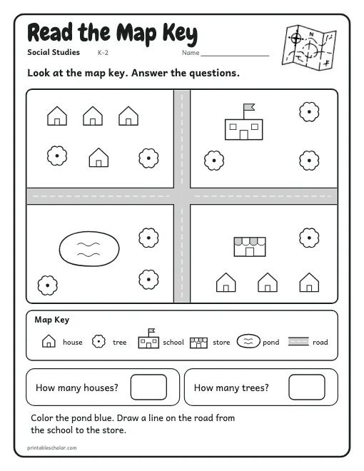
A town map from above with a key: houses, trees, a school, a store, a pond and roads. Count, color and trace. Answer key on page 2.
Download PDF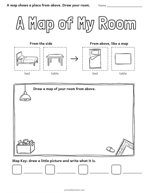
See a bed and a table from the side and from above, then draw a map of your room with a key.
Download PDF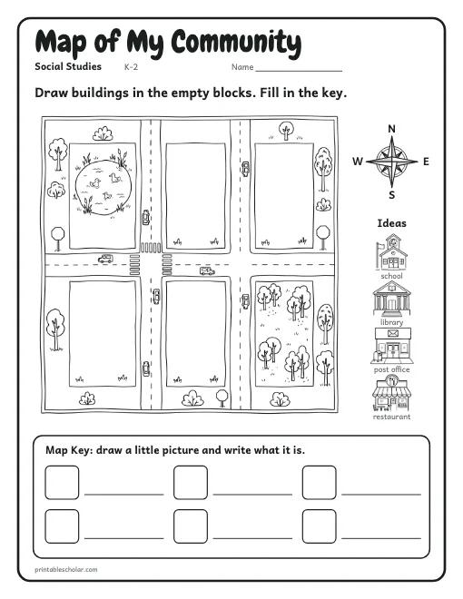
A town map from above with roads, a pond and four empty blocks: draw your own buildings, then make a map key.
Download PDFAll About Me, My Family, Where I Live, Community Helpers, and all topics on the social studies page.
A map shows a place from above. Start there: the A Map of My Room page shows a bed and a table from the side and from above, then children draw their own room as a map with a key. Next, read a map key on the town map, learn the four directions on the compass rose (Never Eat Soggy Waffles), and use them on the Which Way? grid.
The continents and oceans map is drawn from real map data, so every coastline is the right shape. Hang the labeled map on the wall and give older children the version to label themselves.
The free Where Is It? book follows Wade as he reads a map of his town, finds the map key, and walks north to the park and east to the library. For maps of the United States, every state and the world, see the printable maps section, and for my room, my street and my town, the Where I Live book.