Printable Scholar
West Region Physical Map
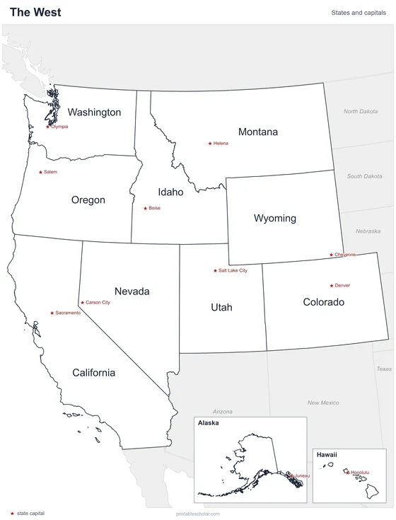
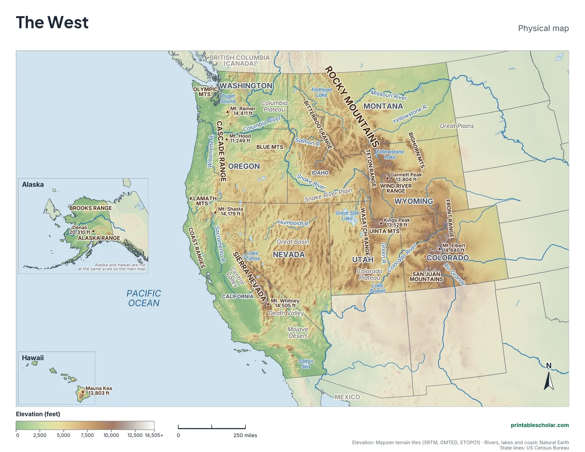
A free printable physical map of the West region of the United States, the 11 states from the Rocky Mountains to the Pacific, with Alaska and Hawaii in insets. It names the rivers, the Rocky Mountains, Sierra Nevada, Cascade Range and 12 smaller ranges, the highest peaks, the basins, plateaus and deserts. It comes in black and white or color, and as a blank map with a word bank.
Choose your version
Black and white, color or blank.
All three are free PDFs sized for US Letter paper.
Black and white
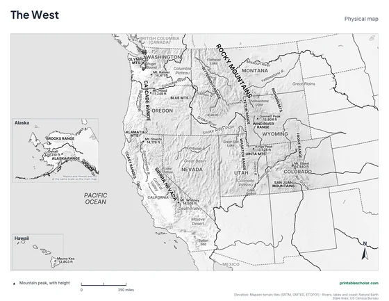
States, rivers, mountains, peaks, lakes and landforms named on gray shaded relief. No color ink needed.
downloadBlack and white PDF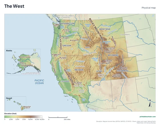
Color
The same map in elevation colors, green lowlands to brown highlands, with blue water.
downloadColor PDF
Blank
No names, with peak markers and an alphabetical word bank. Black and white.
downloadBlank PDFThe physical geography of the West
The West is the most mountainous part of the United States. The Rocky Mountains run through Montana, Idaho, Wyoming, Colorado and Utah, made of many smaller ranges such as the Tetons, the Wind River Range and the Front Range. Along their crest runs the Continental Divide: rain on the east side flows toward the Gulf of Mexico, and rain on the west side toward the Pacific. Colorado’s Mt. Elbert, 14,440 feet, is the highest peak in the Rockies.
Closer to the Pacific are two more chains. The Sierra Nevada runs down eastern California and holds Mt. Whitney, at 14,505 feet the highest point in the lower 48 states. Less than 100 miles away is Death Valley, the lowest place in North America. The Cascade Range, from northern California to Washington, is a line of volcanoes that includes Mt. Shasta, Mt. Hood and Mt. Rainier.
Between the mountain chains lie dry basins and plateaus. The Great Basin of Nevada and Utah has no outlet to the sea, so its rivers end in lakes or simply dry up; the Great Salt Lake is what is left of a much larger ice-age lake. The Columbia and Snake rivers drain the Pacific Northwest, and the Colorado River starts in the Rockies and carves canyons across the Colorado Plateau. Alaska holds Denali, 20,310 feet, the highest peak in North America.
Highest peaks on the map
- Denali, Alaska: 20,310 ft
- Mt. Whitney, California: 14,505 ft
- Mt. Elbert, Colorado: 14,440 ft
- Mt. Rainier, Washington: 14,411 ft
- Mt. Shasta, California: 14,179 ft
- Gannett Peak, Wyoming: 13,804 ft
- Kings Peak, Utah: 13,528 ft
- Mauna Kea, Hawaii: 13,803 ft
Find it on the map
- The Rocky Mountains running from Montana down into Colorado
- The Sierra Nevada and Mt. Whitney in eastern California
- The Great Salt Lake in northern Utah
Elevation is from the Mapzen terrain tiles (SRTM, GMTED, ETOPO1). Rivers, lakes and coastlines are from Natural Earth; state lines from the US Census Bureau. Peak heights are from the US Geological Survey. Landform label positions are approximate.
Frequently asked questions
What are the main physical features of the West?
The Rocky Mountains, Sierra Nevada, Cascade Range and Coast Ranges, the Great Basin, Colorado Plateau and Columbia Plateau, the Central Valley of California, the Mojave Desert, the Columbia, Snake and Colorado rivers, and the Pacific coast. Alaska and Hawaii add Denali, the Brooks Range and Hawaii’s volcanoes.
What is the highest mountain in the West?
Denali in Alaska, at 20,310 feet, the highest in North America. In the lower 48 states it is Mt. Whitney in California, at 14,505 feet.
What is the Continental Divide?
The line along the high ridges of the Rocky Mountains that separates rivers flowing toward the Pacific Ocean from rivers flowing toward the Atlantic and the Gulf of Mexico.
How do students use the blank map?
The blank map shows the same land, rivers, lakes and peak markers with no names, and an alphabetical word bank of the states and features. Students write each name in place. The labeled map is the answer key.