Printable Scholar
Midwest Region Physical Map
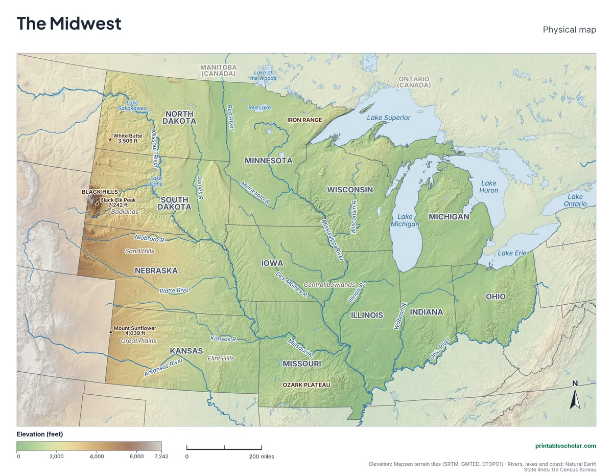
A free printable physical map of the Midwest region of the United States, the 12 states from Ohio to the Dakotas and Kansas. It names the rivers, the Great Lakes, the Great Plains and Central Lowlands, the Black Hills, Badlands and Ozark Plateau, and the highest peaks. It comes in black and white or color, and as a blank map with a word bank.
Choose your version
Black and white, color or blank.
All three are free PDFs sized for US Letter paper.
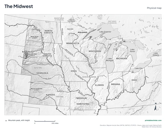
Black and white
States, rivers, mountains, peaks, lakes and landforms named on gray shaded relief. No color ink needed.
downloadBlack and white PDF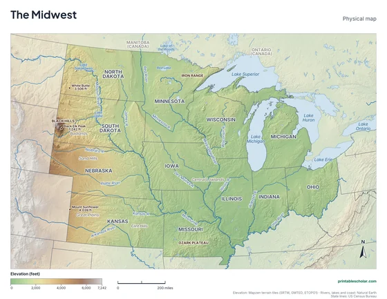
Color
The same map in elevation colors, green lowlands to brown highlands, with blue water.
downloadColor PDF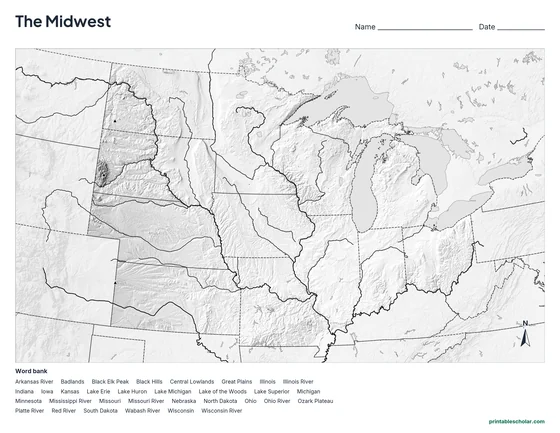
Blank
No names, with peak markers and an alphabetical word bank. Black and white.
downloadBlank PDFThe physical geography of the Midwest
The Midwest is mostly flat or gently rolling land. In the east are the Central Lowlands, flattened and covered with rich soil by glaciers during the last ice age. West of about the Missouri River the land rises slowly toward the Rocky Mountains across the Great Plains, a high, dry grassland. Western Kansas is more than 3,000 feet higher than the Mississippi River, though it looks almost flat.
Four of the five Great Lakes border the Midwest. Lake Superior is the largest freshwater lake in the world by area, and Michigan is split into two peninsulas by Lake Michigan and Lake Huron. The Mississippi River begins in northern Minnesota and flows south through the region, joined by the Missouri near St. Louis and the Ohio at the southern tip of Illinois. The Red River of the North flows the other way, north into Canada.
A few places break the flat land. The Black Hills of South Dakota rise to Black Elk Peak, 7,242 feet, the highest point in the Midwest. Next to them are the Badlands, a maze of eroded ridges and gullies. The Sand Hills of Nebraska are grass-covered sand dunes, and the Ozark Plateau of southern Missouri is a land of hills, springs and caves.
Highest peaks on the map
- Black Elk Peak, South Dakota: 7,242 ft
- Mount Sunflower, Kansas: 4,039 ft
- White Butte, North Dakota: 3,506 ft
Find it on the map
- The four Great Lakes along the northern edge
- St. Louis, where the Missouri River joins the Mississippi
- The Black Hills, a dark patch of mountains in western South Dakota
Elevation is from the Mapzen terrain tiles (SRTM, GMTED, ETOPO1). Rivers, lakes and coastlines are from Natural Earth; state lines from the US Census Bureau. Peak heights are from the US Geological Survey. Landform label positions are approximate.
Frequently asked questions
What are the main physical features of the Midwest?
The Great Lakes, the Mississippi, Missouri and Ohio rivers, the flat Central Lowlands and Great Plains, the Black Hills and Badlands of South Dakota, the Sand Hills of Nebraska and the Ozark Plateau of Missouri.
What is the highest point in the Midwest?
Black Elk Peak in the Black Hills of South Dakota, at 7,242 feet.
Why is the Midwest so flat?
Glaciers covered most of the eastern Midwest during the last ice age. As they moved and melted, they scraped down hills and filled valleys with soil and gravel, leaving flat land with some of the richest farm soil in the world.
How do students use the blank map?
The blank map shows the same land, rivers, lakes and peak markers with no names, and an alphabetical word bank of the states and features. Students write each name in place. The labeled map is the answer key.