Printable Scholar
Pangaea Map
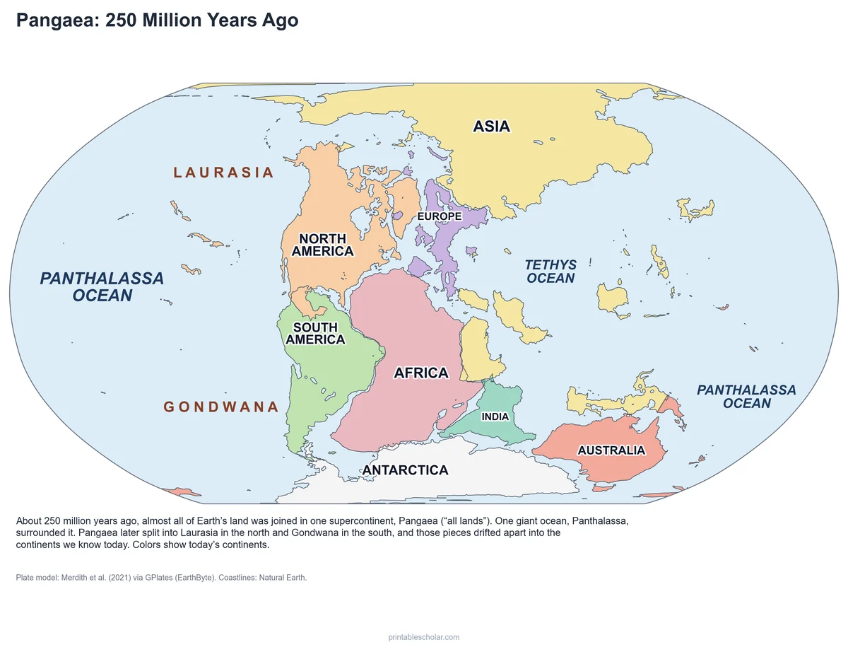
A free printable map of Pangaea, the supercontinent that held almost all of Earth’s land about 250 million years ago. Today’s continents are fitted back together where a published plate model puts them, with Laurasia, Gondwana, the Panthalassa Ocean and the Tethys Ocean named. Black and white, color and a blank worksheet, plus fossil clues, a break-up timeline and a cut-out puzzle.
Choose your version
Black and white, color or blank.
All three are free PDFs sized for US Letter paper.
Black and white
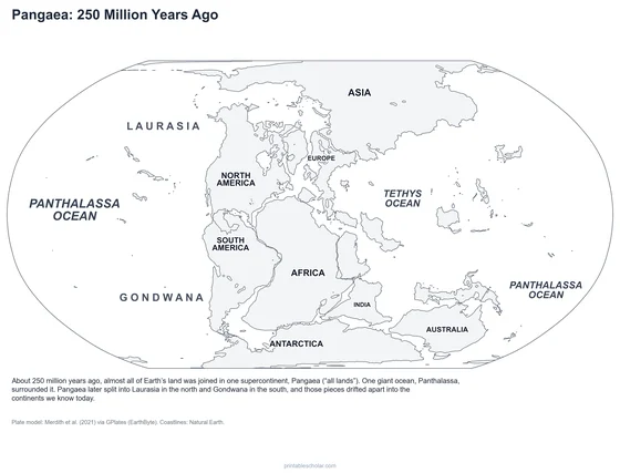
Pangaea with the continents, Laurasia, Gondwana and the oceans named. No color ink needed.
downloadBlack and white PDF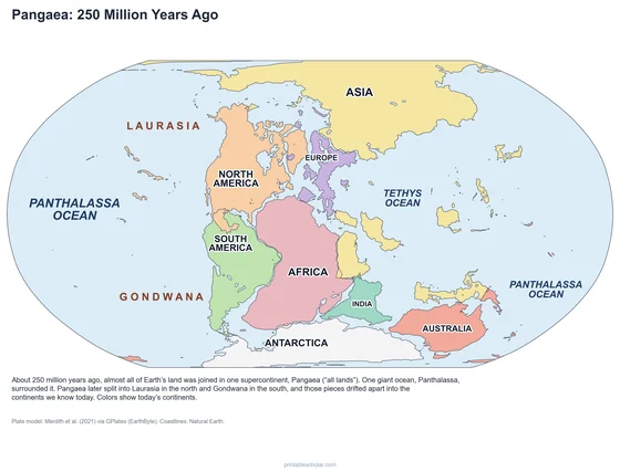
Color
The same map with each of today's continents in its own color.
downloadColor PDF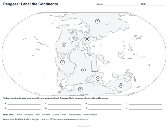
Blank worksheet
Eight lettered continents, a word bank and a bonus question. The labeled map is the key.
downloadBlank worksheet PDFMore Pangaea printables
Countries, fossils, the break-up and a puzzle
Four more free PDFs from the same plate model, sized for US Letter paper.

Pangaea with Today’s Countries
Today’s country borders on Pangaea, with the bigger countries named. See where the United States, Brazil or India was.
downloadCountries PDF
Fossil Clues to Pangaea
Where Mesosaurus, Glossopteris, Lystrosaurus and Cynognathus fossils are found, and how they line up on Gondwana.
downloadFossil clues PDF
How Pangaea Broke Apart
Six maps: 250, 200, 150, 100 and 66 million years ago, and today, each with one line on what changed.
downloadBreak-up PDF
Pangaea Puzzle
Two pages: six Gondwana pieces with fossil symbols to color and cut out, and a board to glue them back together.
downloadPuzzle PDFWhat was Pangaea?
Pangaea was a supercontinent: one giant landmass that held almost all of Earth’s land. It came together about 335 million years ago and was whole for more than 100 million years. The map shows it about 250 million years ago, just before the age of the dinosaurs. The name means "all lands" in Greek, and the one huge ocean around it is called Panthalassa, "all sea".
Pangaea began to break apart about 200 million years ago. First it split into two halves: Laurasia in the north, which became North America, Europe and most of Asia, and Gondwana in the south, which became South America, Africa, India, Antarctica and Australia. A long arm of ocean called the Tethys reached into the gap between them. The pieces kept drifting, and the Atlantic Ocean opened between the Americas and Europe and Africa.
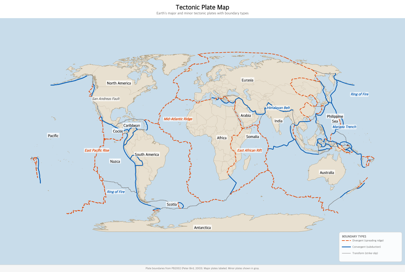
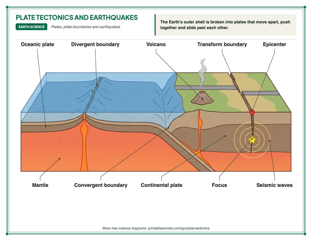
The continents are still moving today, a few centimeters a year, about as fast as your fingernails grow. They ride on tectonic plates, slabs of Earth’s outer shell that slide over the hot, slowly flowing rock beneath. India broke away from Antarctica, crossed the ocean and crashed into Asia, pushing up the Himalayas.
The idea that the continents move is called continental drift. Alfred Wegener, a German scientist, argued for it in 1912. He pointed to the coasts of South America and Africa that fit like puzzle pieces, the same fossils and the same rock layers on continents now oceans apart, and signs of ancient glaciers in places that are hot today. Most scientists did not believe him until the 1960s, when maps of the ocean floor showed how the plates move.
What is on the maps
- Pangaea about 250 million years ago, today’s continents in their own colors
- Laurasia and Gondwana, the northern and southern halves
- The Panthalassa Ocean and the Tethys Ocean
- A blank worksheet: eight lettered continents, a word bank and a bonus question
- Today’s country borders drawn on Pangaea
- Fossil clues, the break-up in six steps and a cut-out puzzle
Find it on the map
- The bulge of Brazil tucked into the bend of West Africa
- India sitting between Africa, Antarctica and Australia, far from Asia
- Florida and the eastern United States against northwest Africa
Continent positions: Merdith et al. (2021), Earth-Science Reviews, via the GPlates Web Service (EarthByte, University of Sydney). Coastlines: Natural Earth. Fossil find sites are named rock formations.
Frequently asked questions
What was Pangaea?
Pangaea was a supercontinent that held almost all of Earth’s land. It formed about 335 million years ago and began breaking apart about 200 million years ago. Its pieces drifted apart to become the seven continents we know today.
Is it Pangaea or Pangea?
Both spellings are correct. Pangaea is the older spelling, from the Greek words for "all" and "earth". Pangea is common in American textbooks.
What are Laurasia and Gondwana?
When Pangaea split, it broke into a northern half, Laurasia (North America, Europe and most of Asia), and a southern half, Gondwana (South America, Africa, India, Madagascar, Antarctica and Australia).
How do we know Pangaea existed?
The coastlines of South America and Africa fit together. The same fossils, such as the reptile Mesosaurus and the fern Glossopteris, are found on continents now separated by oceans. Matching rock layers and mountain belts line up when the continents are put back together, and scratches left by ancient glaciers are found in places that are now near the equator. The fossil clues sheet on this page shows the fossil evidence.
How was this map made?
The continent shapes are today’s coastlines, moved back to where they were 250 million years ago with a published plate model (Merdith and others, 2021) through the GPlates Web Service from the EarthByte group at the University of Sydney. Each country keeps its modern shape, so you can see where the land of each country was. Small pieces such as parts of Southeast Asia and Central America were still islands in the ocean, which is why they float apart from the supercontinent.
Will there be another Pangaea?
Probably. Scientists expect the continents to come together again in about 200 to 250 million years. One prediction is called Pangaea Proxima, with the Atlantic Ocean closed and the Americas joined to Africa and Europe again.
How do I use the puzzle?
Print the board and the pieces. Students color and cut out the six Gondwana pieces (South America, Africa, Madagascar, India, Antarctica and Australia), then turn them until the fossil symbols line up and glue each piece inside its outline. The fossil clues map is the answer key.