Printable Scholar
Mexico States Map
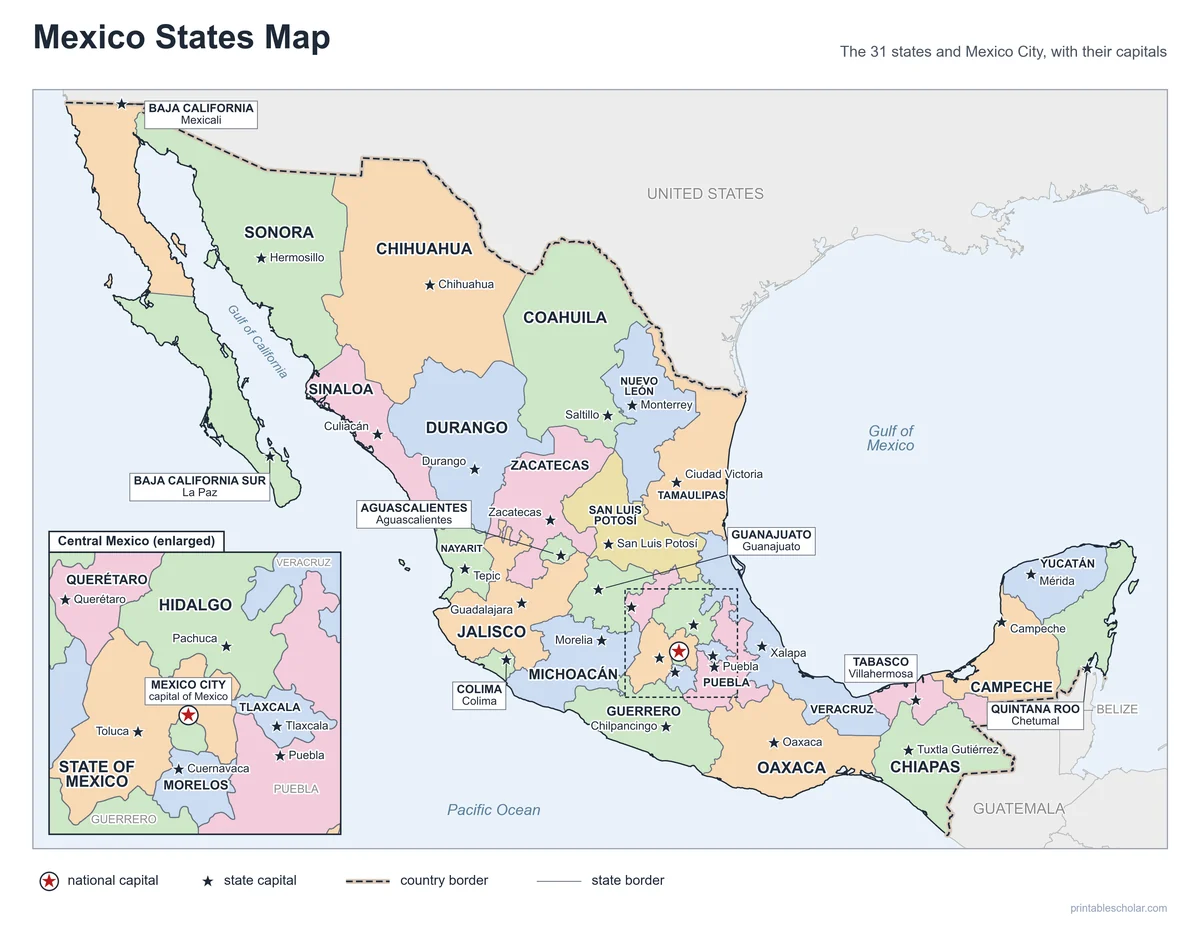
A free printable map of the 31 states of Mexico and Mexico City, with every state named and every capital starred. The small states around Mexico City are shown again, larger, in a close-up box. It comes in black and white or color, as a blank map for quizzes, and with a states and capitals list and quiz.
Choose your version
Black and white, color or blank.
All three are free PDFs sized for US Letter paper.

Black and white
Every state and capital named on a plain outline map. No color ink needed.
downloadBlack and white PDF
Color
The same map with each state in a soft color.
downloadColor PDF
Blank
State borders and capital stars, no names, with a Name and Date line.
downloadBlank PDFLearn the capitals
Mexico states and capitals worksheet
A list of the 31 states and their capitals, and a quiz with a word bank. The list is the answer key.

Mexico States and Capitals
Two pages: the 31 states and capitals in a list, and a quiz to write each capital from a word bank.
downloadList and quiz PDF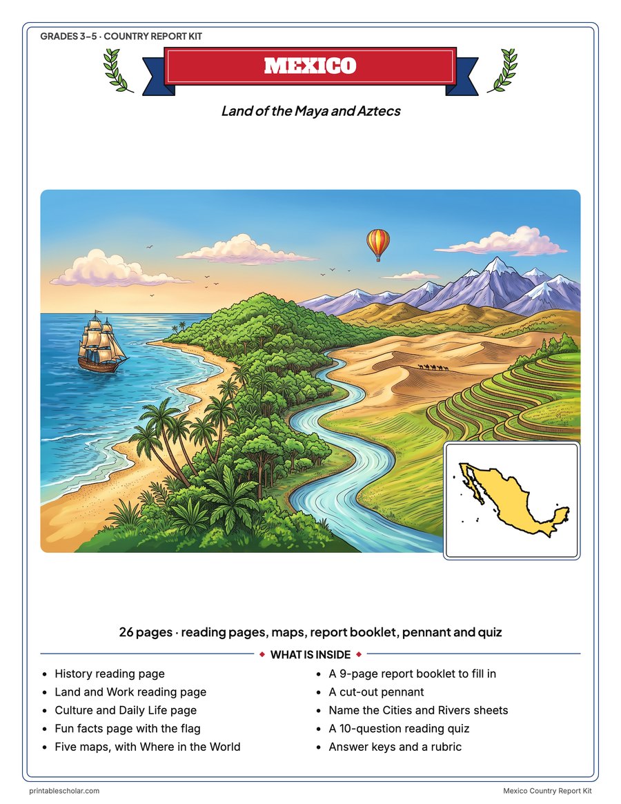
Doing a Mexico country report? Get the whole kit
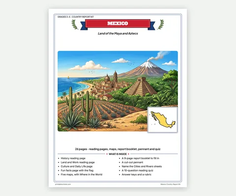
This map names the states. The kit adds five Mexico maps, with everything else a report needs, in one print-ready file.
- 4 reading pages: fun facts, History, Land and Work, and Culture and Daily Life
- 5 maps: landmarks, cities, Where in the World, outline, and rivers, lakes and neighbors
- A 9-page My Country Report booklet, a pennant to cut out, two map skills sheets and a 10-question reading quiz
- Answer keys and a rubric, in one PDF of 26 pages, in color and in black and white, US Letter
Each student on a different country? Get all 13 country kits for $24.
The 31 states of Mexico
Mexico’s official name is the United Mexican States. It is a federal country, like the United States, made of 31 states and Mexico City, the national capital. Mexico City is not part of any state. Until 2016 it was called the Federal District.
The northern states are the biggest. Chihuahua, on the border with Texas and New Mexico, is the largest state, about 95,000 square miles. The smallest states are packed into the high, crowded center of the country around Mexico City: Tlaxcala is the smallest state of all, and Morelos, Aguascalientes and Colima are not much bigger. The State of Mexico, which wraps around Mexico City on three sides, has more people than any other state.
Baja California Sur and Quintana Roo were the last two territories to become states, in 1974. In 12 states the capital has the same name as the state, such as Aguascalientes, Campeche, Chihuahua and Colima.
The states and their capitals
- Aguascalientes: Aguascalientes
- Baja California: Mexicali
- Baja California Sur: La Paz
- Campeche: Campeche
- Chiapas: Tuxtla Gutiérrez
- Chihuahua: Chihuahua
- Coahuila: Saltillo
- Colima: Colima
- Durango: Durango
- Guanajuato: Guanajuato
- Guerrero: Chilpancingo
- Hidalgo: Pachuca
- Jalisco: Guadalajara
- State of Mexico: Toluca
- Michoacán: Morelia
- Morelos: Cuernavaca
- Nayarit: Tepic
- Nuevo León: Monterrey
- Oaxaca: Oaxaca
- Puebla: Puebla
- Querétaro: Querétaro
- Quintana Roo: Chetumal
- San Luis Potosí: San Luis Potosí
- Sinaloa: Culiacán
- Sonora: Hermosillo
- Tabasco: Villahermosa
- Tamaulipas: Ciudad Victoria
- Tlaxcala: Tlaxcala
- Veracruz: Xalapa
- Yucatán: Mérida
- Zacatecas: Zacatecas
- Mexico City: the capital of Mexico
Find it on the map
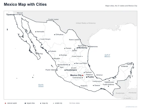
- Mexico City, the national capital, in the close-up box of Central Mexico
- Chihuahua, the largest state, on the US border
- Tlaxcala, the smallest state, east of Mexico City
State boundaries, coastlines, lakes and capital locations: Natural Earth. The Revillagigedo Islands and Guadalupe Island, far out in the Pacific, and the Alacranes Reef off Yucatán are not shown.
Frequently asked questions
How many states does Mexico have?
Mexico has 31 states plus Mexico City, which is the capital and its own federal entity, not part of any state. So a map of Mexico shows 32 divisions in all.
What is the capital of Mexico?
Mexico City. It sits on a high plateau in the center of the country and is one of the largest cities in the world.
What is the largest state in Mexico?
Chihuahua, in the north on the border with the United States, is the largest by area. The State of Mexico, next to Mexico City, has the most people.
What is the smallest state in Mexico?
Tlaxcala, east of Mexico City. Mexico City itself is smaller still, but it is not a state.
Why is there a close-up box on the map?
The states around Mexico City are too small to name clearly at the size of a printed page. The box in the Pacific shows that part of the country enlarged, with each small state and its capital named. The dashed box on the main map shows where it is.
How do students use the blank map?
The blank map has the state borders and a star at every capital, with no names. Students write in the states, or the capitals, and check their work with the labeled map. The worksheet has a list of all 31 states and capitals and a quiz with a word bank.