 Printable Scholar
The Missouri Compromise and the Road to War: Four Maps
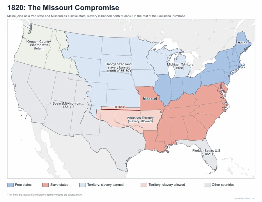
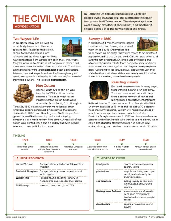
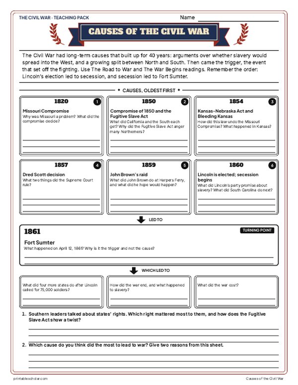
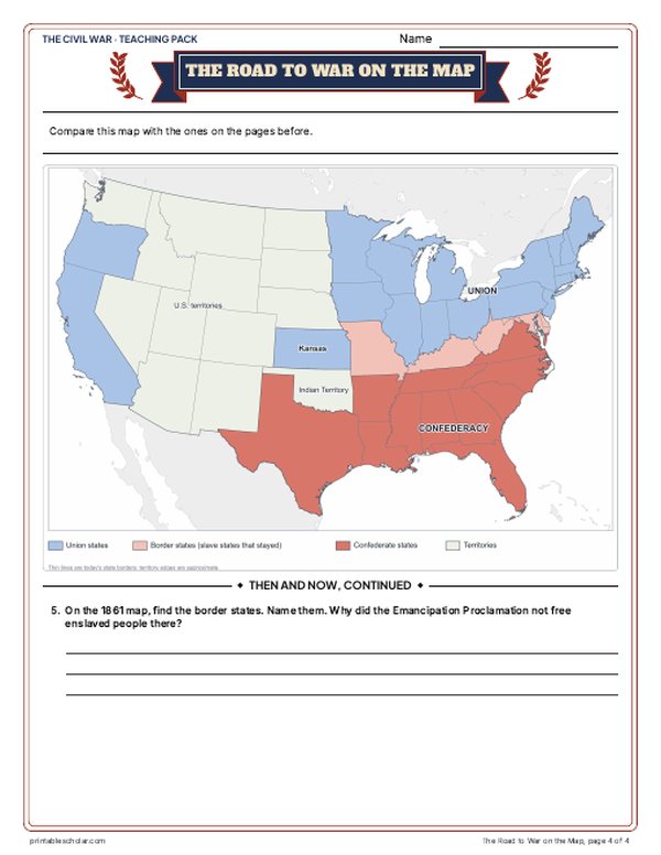
For forty years before the Civil War, Americans argued about whether slavery would spread into the new lands in the West. Each time a territory asked to become a state, the balance between free states and slave states was at stake. These four maps show how the lines changed: the Missouri Compromise of 1820, the Compromise of 1850, the Kansas-Nebraska Act of 1854 and the nation divided in 1861. Free states are blue and slave states are red; territories are shaded by their rule on slavery.
Free to print
Four road-to-war maps, in color and black and white
PDFs sized for US Letter paper, in color and black and white.
1820: The Missouri Compromise
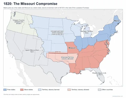
Maine joins as a free state and Missouri as a slave state; slavery banned north of 36°30′ in the rest of the Louisiana Purchase.
Download PDF Black and white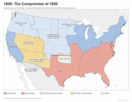
1850: The Compromise of 1850
California joins as a free state; voters will decide about slavery in Utah and New Mexico Territories.
Download PDF Black and white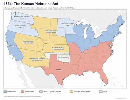
1854: The Kansas-Nebraska Act
Voters will decide in Kansas and Nebraska, even though they lie north of the 36°30′ line.
Download PDF Black and white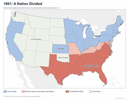
1861: A Nation Divided
The Union, the four border states and the eleven Confederate states.
Download PDF Black and white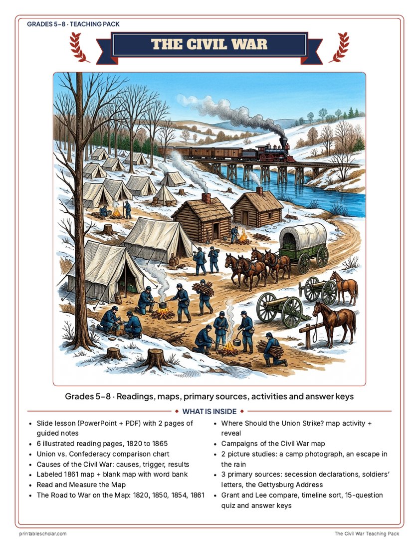
Teaching pack · Grades 5–8
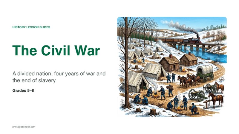
Teaching the Civil War? The whole unit, ready to teach.
Two weeks of lessons in one download: slides to present, notes for students to fill in, and printable pages that use these maps and pictures.
- 40 lesson slides (PowerPoint you can edit, teacher notes on every slide) and 2 pages of guided notes
- 6 illustrated reading pages, a Union vs. Confederacy chart and a causes sheet
- Maps: labeled, blank, Read and Measure the Map, four road-to-war maps (1820 to 1861), a campaigns map and a "Where should the Union strike?" decision with the reveal
- Primary sources: the secession declarations, soldiers' letters from both sides, and the Gettysburg Address, each with plain English beside it; picture studies of a real 1862 camp photograph and an 1872 Underground Railroad engraving
- Grant and Lee, a timeline sort, a 15-question quiz, a teacher guide with a two-week plan, and answer keys for everything
Every answer is in the pack. The readings, slides, maps and pictures teach everything the sheets and quiz ask, so no textbook is needed.
Get the Civil War pack for $7One-time purchase. Instant download. Color and ink-saving black-and-white editions. Secure checkout by Stripe.
What each map shows
1820: The Missouri Compromise
Missouri asked to join as a slave state, which would have given slave states a majority in the Senate. Congress let Missouri in as a slave state and Maine as a free state, and banned slavery in the rest of the Louisiana Purchase north of the 36°30′ line, Missouri’s southern border.
1850: The Compromise of 1850
After the war with Mexico, California asked to join as a free state. In return the South got a strict new Fugitive Slave Act, and in Utah and New Mexico Territories the voters would decide about slavery, an idea called popular sovereignty.
1854: The Kansas-Nebraska Act
Kansas and Nebraska Territories, north of the 36°30′ line, would also let voters decide. That undid the Missouri Compromise line. Settlers on both sides rushed into Kansas, and the fighting there was called Bleeding Kansas.
1861: A Nation Divided
After Abraham Lincoln was elected in 1860, seven Deep South states seceded, and four more left after the fighting began at Fort Sumter in April 1861. Delaware, Maryland, Kentucky and Missouri, slave states, stayed in the Union: the border states.
Frequently asked questions
What was the Missouri Compromise?
An 1820 agreement in Congress: Missouri joined as a slave state and Maine as a free state, and slavery was banned in the rest of the Louisiana Purchase north of 36°30′ north latitude.
What did the Kansas-Nebraska Act do?
In 1854 it let voters in Kansas and Nebraska Territories decide about slavery (popular sovereignty), even though both lay north of the Missouri Compromise line, which it undid.
Why are the territory edges approximate?
Territory borders changed often before the Civil War. The maps draw today’s state lines for reference and shade the territories by their rule on slavery.