 Printable Scholar
Machu Picchu: The Inca Royal Estate in the Clouds
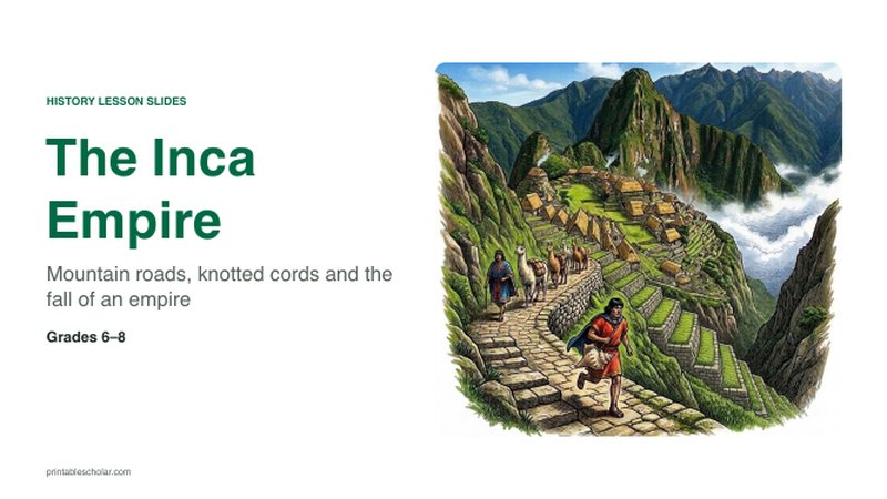
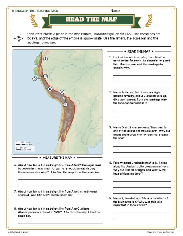
Machu Picchu is an Inca site on a narrow mountain ridge high above the Urubamba River in Peru, at about 2,430 meters (nearly 8,000 feet). It was built about 1450 as a royal estate for the emperor Pachacuti, and several hundred people lived and worked there. Stone-walled terraces held the steep slope and grew food, a line of fountains carried spring water through the city, and fine stone temples stood beside a long central plaza. The Spanish never found it. Local farmers always knew it was there, and the explorer Hiram Bingham made it famous around the world in 1911.
Free to print
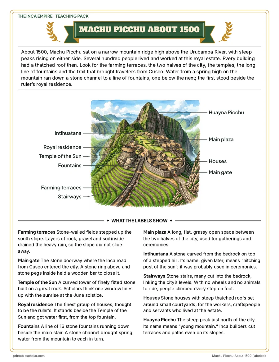
Labeled and blank Machu Picchu picture
PDFs sized for US Letter paper, in color and black and white.
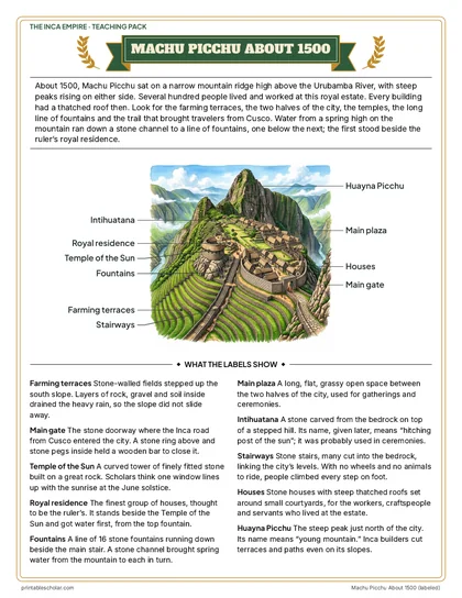
Machu Picchu About 1500, labeled
A bird’s-eye picture of Machu Picchu with ten places labeled and what each one was.
Download PDF Black and white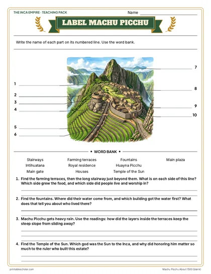
Label Machu Picchu
The same picture with numbered blank labels, a word bank and four questions.
Download PDF Black and white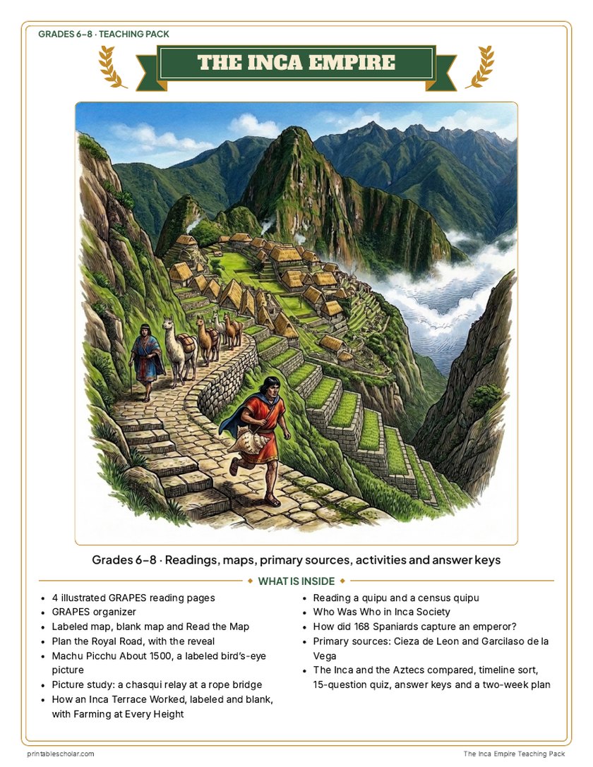
Teaching pack · Grades 6–8
Teaching the Inca Empire? The whole unit, ready to teach.
Two weeks of lessons in one download: slides to present, notes for students to fill in, and printable pages that use these maps and pictures.
- 43 lesson slides (PowerPoint you can edit, teacher notes on every slide) and 2 pages of guided notes
- 4 illustrated reading pages and a GRAPES organizer
- Maps: labeled, blank, Read and Measure the Map, and "Plan the Royal Road": choose a route from Cusco to Quito on a real relief map, then the reveal
- Activities: a labeled bird's-eye picture of Machu Picchu, a chasqui relay picture study, how an Inca terrace worked (labeled and blank, with farming at every height), reading and tying quipu numbers and a census quipu, who was who, how 168 Spaniards captured an emperor, Cieza de Leon and Garcilaso de la Vega, the Inca and the Aztecs compared, and a timeline sort
- A 15-question quiz, a teacher guide with a two-week plan, and answer keys for everything
Every answer is in the pack. The readings, slides, maps and pictures teach everything the sheets and quiz ask, so no textbook is needed.
Get the Inca Empire pack for $7One-time purchase. Instant download. Color and ink-saving black-and-white editions. Secure checkout by Stripe.
What made Machu Picchu work
Terraces
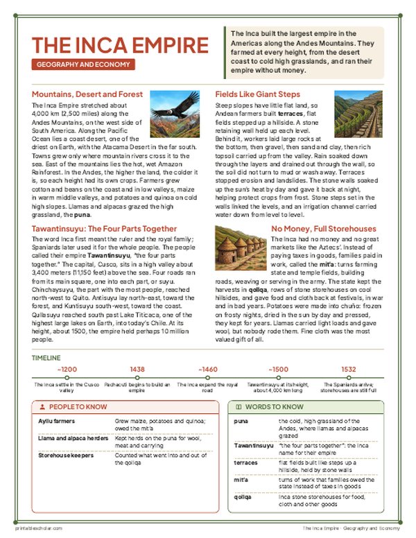
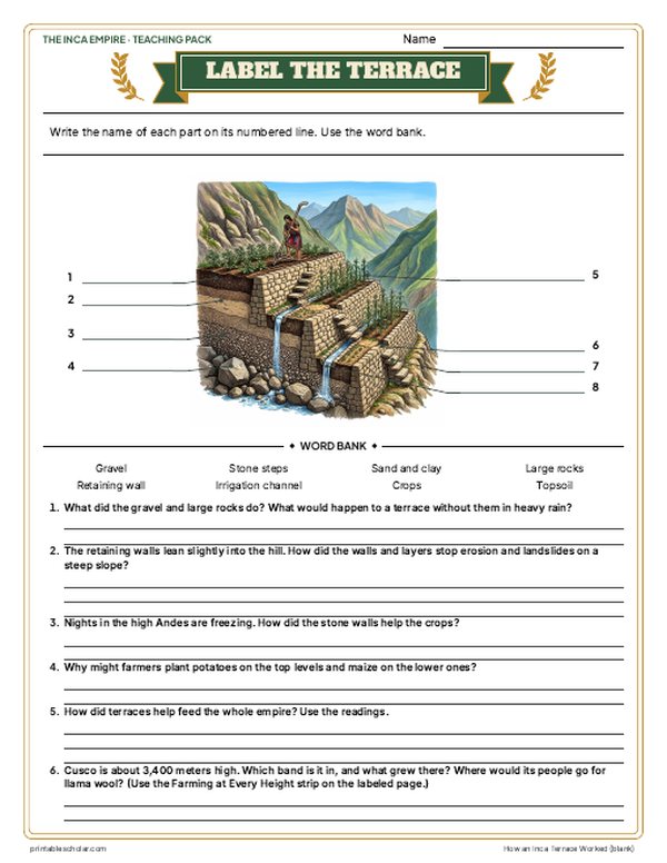
Stone-walled fields stepped up the slope. Layers of large rocks, gravel and soil inside drained the heavy rain, so the mountainside did not slide away, and the flat levels grew food.
Water
A stone channel brought spring water from the mountain to a line of 16 fountains beside the main stair. The royal residence, next to the Temple of the Sun, got the water first.
Temples and the Intihuatana
The curved Temple of the Sun was built of finely fitted stone on a great rock. The Intihuatana, a stone carved from the bedrock on a stepped hill, was probably used in ceremonies.
A royal estate
Machu Picchu was not a lost city or a hideout. It was a royal estate of Pachacuti, left around the time of the Spanish conquest and known all along to the farmers who lived nearby.
Frequently asked questions
Who built Machu Picchu?
Inca builders, about 1450, as a royal estate for the emperor Pachacuti, the ruler who turned the Inca kingdom into an empire.
Was Machu Picchu a lost city?
No. Local farmers always knew it, and some lived there in 1911. The Spanish never found it, and Hiram Bingham made it famous worldwide in 1911.
How high is Machu Picchu?
About 2,430 meters (nearly 8,000 feet) above sea level, on a ridge between two peaks above the Urubamba River.