Free Printable Labeled Map of Australia & Oceania
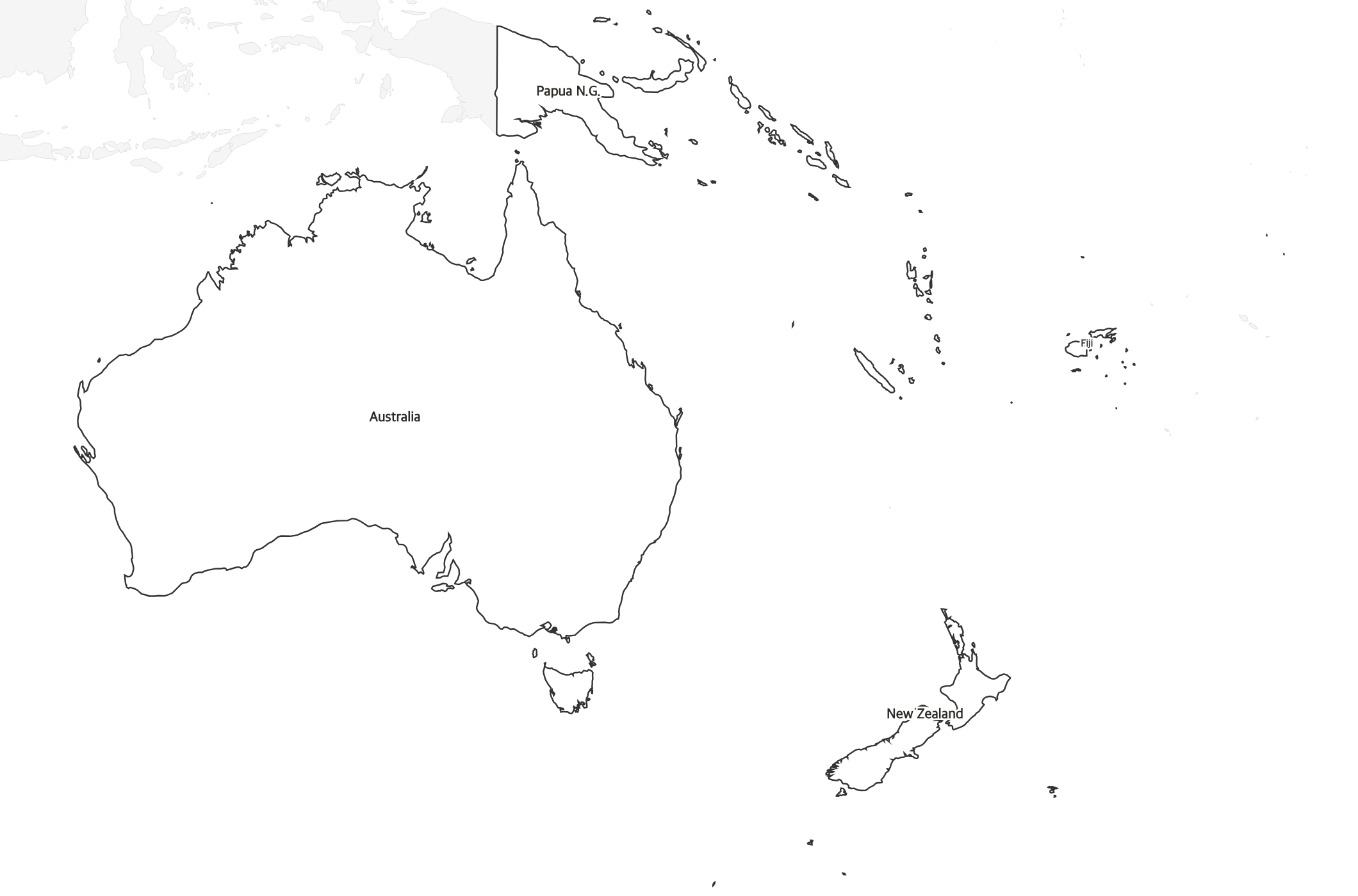
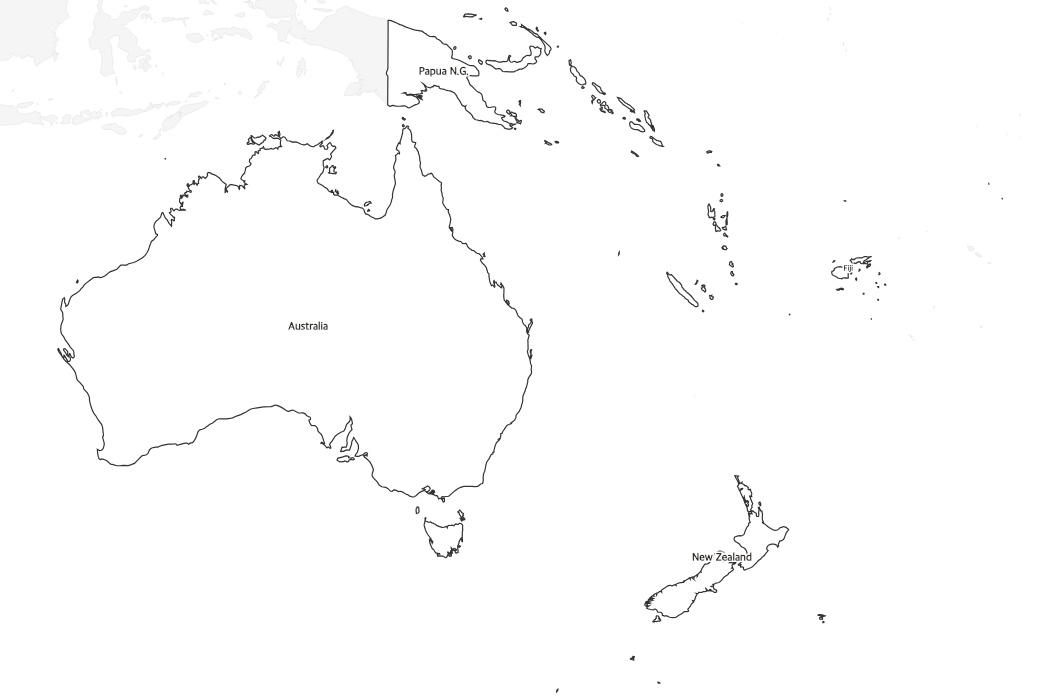
Free printable map of Australia and Oceania with country names labeled. Clean reference map covering Australia, New Zealand, Papua New Guinea, and Pacific island nations.
About This Oceania Map
Free printable map of Australia and Oceania with country names labeled. Clean reference map covering Australia, New Zealand, Papua New Guinea, and Pacific island nations.
How to Use
Print this Oceania map on standard US Letter paper (8.5" × 11"). Click "Download PDF" for a print-ready file that automatically fits your page, or "Download PNG" for the high-resolution image file. Neighboring regions are shown in light gray for geographic context.
Frequently Asked Questions
Which countries are labeled on this map?
Australia, New Zealand, and Papua New Guinea are clearly labeled. Smaller Pacific island nations are shown as outlines and may use abbreviated labels due to their size.
Is this good as an answer key?
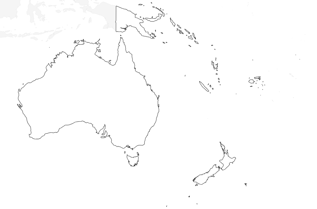
Yes! Teachers commonly use the labeled version as an answer key alongside our blank Australia and Oceania map for testing.
What size should I print this?
Standard US Letter paper (8.5" × 11"). The Download PDF button automatically sizes and orients the map to fit your page.