Free Printable Blank Map of Australia & Oceania
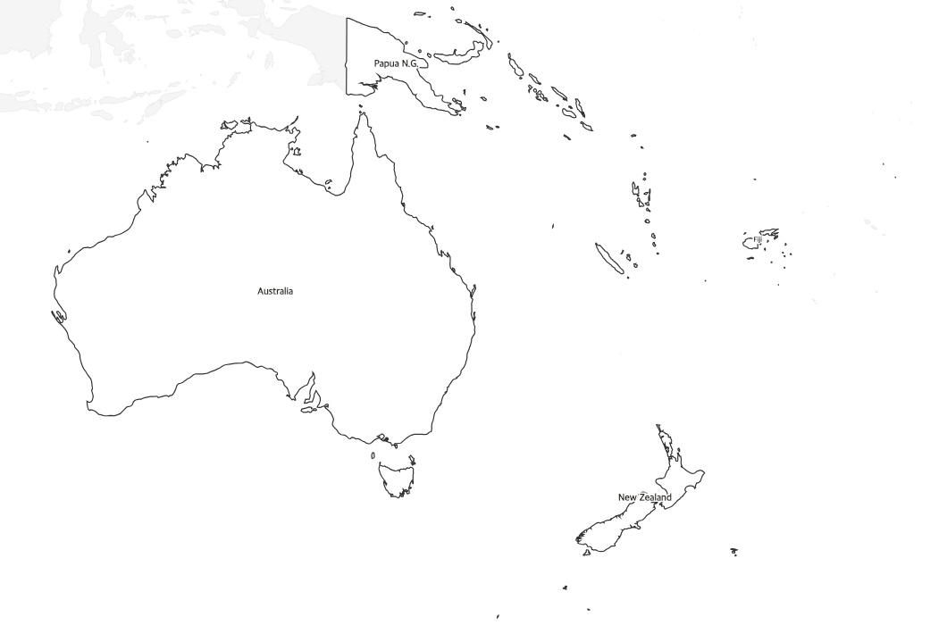
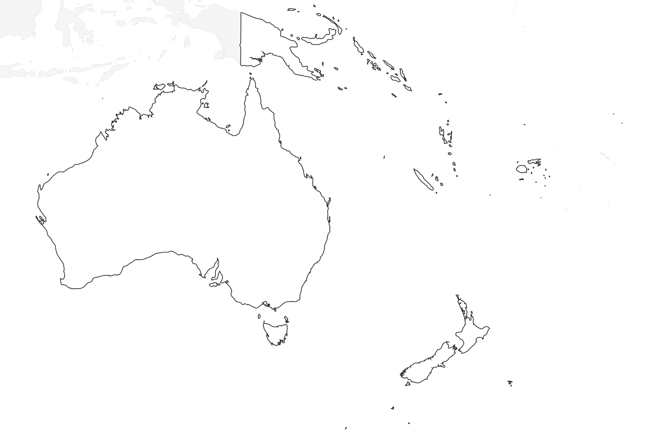
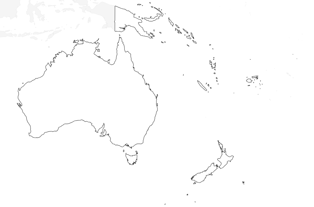
Free printable blank map of Australia and Oceania with country outlines only. No labels — perfect for geography quizzes, coloring, and classroom activities.
About This Oceania Map
Free printable blank map of Australia and Oceania with country outlines only. No labels — perfect for geography quizzes, coloring, and classroom activities.
How to Use
Print this Oceania map on standard US Letter paper (8.5" × 11"). Click "Download PDF" for a print-ready file that automatically fits your page, or "Download PNG" for the high-resolution image file. Neighboring regions are shown in light gray for geographic context.
Frequently Asked Questions
What countries are shown on this map?
This map covers the Australia and Oceania region — Australia, New Zealand, Papua New Guinea, and Pacific island nations including Fiji, Vanuatu, the Solomon Islands, and New Caledonia.
How do I use a blank Australia map in the classroom?
Blank Australia and Oceania maps are ideal for geography quizzes — students label countries, states, capitals, or bodies of water from memory. They also work well for coloring activities.
What paper size should I use?
This map is optimized for standard US Letter paper (8.5" × 11") in landscape orientation. Select "Fit to page" in your printer settings for best results.