Printable Scholar
Latitude and Longitude Map
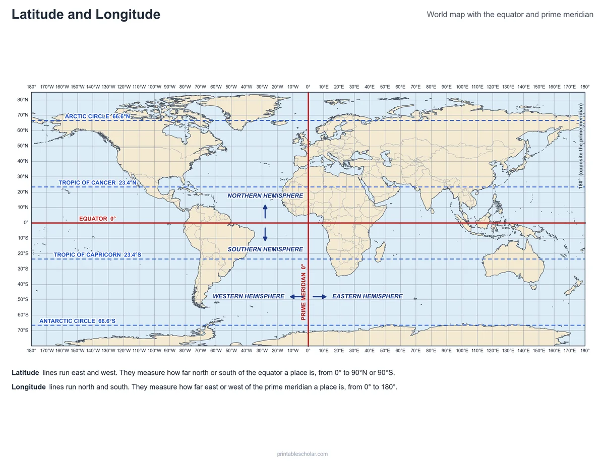
A free printable world map with lines of latitude and longitude every 10 degrees, all numbered. The equator, prime meridian, Tropic of Cancer, Tropic of Capricorn and the Arctic and Antarctic Circles are named, with arrows for the four hemispheres. It comes in black and white or color, as a blank label-the-lines worksheet, and with a find-the-coordinates worksheet and answer key.
Choose your version
Black and white, color or blank.
All three are free PDFs sized for US Letter paper.
Black and white
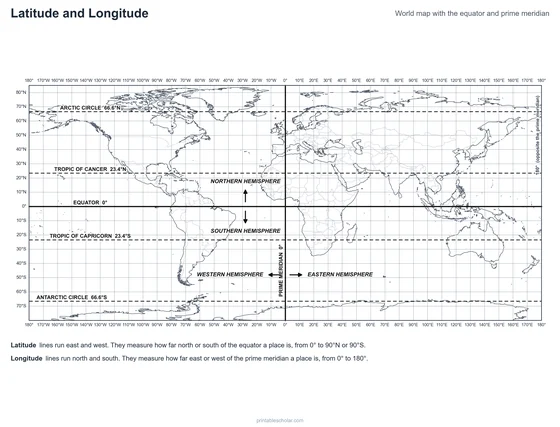
Every 10° line numbered, the special lines named and hemisphere arrows. No color ink needed.
downloadBlack and white PDF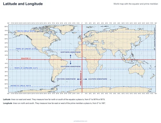
Color
The same map with blue oceans, tan land and the equator and prime meridian in red.
downloadColor PDF
Blank worksheet
The numbered grid with the special lines lettered and numbered hemisphere arrows, plus a word bank.
downloadBlank worksheet PDFPractice with coordinates
Find it with latitude and longitude
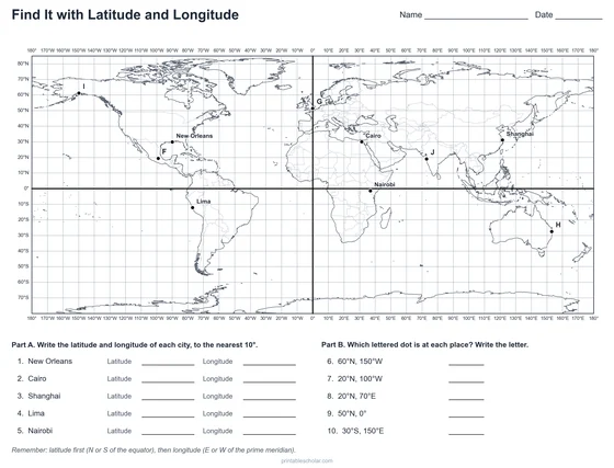
A two-page worksheet: find the coordinates of five cities, then find the place at five sets of coordinates. Answer key included.
Find It with Latitude and Longitude
Page 1: a world map grid with five named cities and five lettered dots, and ten questions. Page 2: the answer key.
downloadWorksheet and key PDFHow latitude and longitude work
Latitude and longitude are a grid of imaginary lines that lets us name any place on Earth with two numbers. Lines of latitude run east and west, around the globe. They tell how far north or south of the equator a place is, from 0 degrees at the equator to 90 degrees at the North and South Poles. Lines of longitude, also called meridians, run north and south from pole to pole. They tell how far east or west of the prime meridian a place is, from 0 to 180 degrees.
The equator, at 0 degrees latitude, circles the middle of the Earth and splits it into the Northern and Southern Hemispheres. The prime meridian, at 0 degrees longitude, runs through Greenwich in London, England, and splits the Earth into the Eastern and Western Hemispheres. On the other side of the world, the 180th meridian is where east meets west, and the International Date Line roughly follows it.
A few lines of latitude have their own names. The Tropic of Cancer (23.4 degrees north) and the Tropic of Capricorn (23.4 degrees south) mark how far from the equator the sun can be directly overhead at noon. The Arctic Circle and the Antarctic Circle (66.6 degrees) mark where the sun can stay up all day in summer and stay down all day in winter.
To give a location, write the latitude first, then the longitude, each with its direction. New Orleans is at about 30 degrees north, 90 degrees west, written 30°N, 90°W. One degree of latitude is about 69 miles.
The named lines
- Equator: 0° latitude
- Prime meridian: 0° longitude
- Tropic of Cancer: 23.4°N
- Tropic of Capricorn: 23.4°S
- Arctic Circle: 66.6°N
- Antarctic Circle: 66.6°S
- 180th meridian: 180° longitude
Find it on the map
- Where the equator crosses the prime meridian, in the Atlantic Ocean off West Africa
- The equator crossing South America, Africa and Indonesia
- The prime meridian running through England, France, Spain and West Africa
Coastlines and borders: Natural Earth. City coordinates rounded to the nearest 10 degrees in the worksheet; the key gives the exact values.
Frequently asked questions
What is the difference between latitude and longitude?
Latitude lines run east and west and measure distance north or south of the equator, from 0° to 90°. Longitude lines run north and south and measure distance east or west of the prime meridian, from 0° to 180°.
Which comes first, latitude or longitude?
Latitude. A location is written latitude first, then longitude, for example 30°N, 90°W for New Orleans. A trick: latitude lines are like the rungs of a ladder you climb north and south.
Where are the equator and the prime meridian?
The equator is the 0° line of latitude around the middle of the Earth. The prime meridian is the 0° line of longitude, running from the North Pole through Greenwich in London to the South Pole.
What are the four hemispheres?
The equator divides the Earth into the Northern and Southern Hemispheres. The prime meridian and the 180th meridian divide it into the Eastern and Western Hemispheres. Every place is in two hemispheres at once: the United States is in the Northern and Western Hemispheres.
Why are the lines straight on this map?
This map uses a projection where latitude and longitude lines make a square grid, which makes coordinates easy to read. The trade-off is that places far from the equator, like Greenland and Antarctica, look wider than they really are.
How do students use the worksheets?
On the blank map, students name the lettered lines and the hemispheres the arrows point into. On the find-it worksheet, they write the coordinates of five cities to the nearest 10°, then find the lettered dot at five sets of coordinates. The answer key covers both.